
Green Mountain
Back for another bushwhack in the Hubbard Brook Experimental Forest area? In recent weeks I paid visits to Mt Cushman (3,221’) - which lay just westerly of today’s destination; shortly after, a trek to Mt Kineo (3,318’) and East Kineo (2,981’); whilst awaiting trails to dry out above 3,000’ I roamed to several peaks northerly peaks, such as Mt Cilley (2,227’) and Grandview Mountain (2,012’) - finally, the time had come to meander through the familiar forest to visit the 2,762’ summit of Green Mountain.
Luckily, I had been planning a bushwhack to this peak since I returned home from the other nearby summits; Green Mountain was not actually on my to-do list for today until I heard the rain hitting the roof at 3am, I knew at that point I was going to remain local, in case I got rained out altogether.

Beginning on FR 211
Over the prior weeks I had actually been scoping out an ascent of this peak from the east, utilizing the Weasel Trail to gain the east ridge, which I could then simply follow to reach the high point. Choosing to enter from the west and track east/northeast toward the summit really came down to drive time; the Hubbard Brook Trailhead is half the distance from home.
Remembering the lovely, open hardwood forest of beech and birch along the southern flank of Mt Cushman from several weeks prior, I figured I’d take a ‘whack through those woods once again and just maybe that nice, enjoyable forest might grace the mountainside of Green Mountain as well.

Bushwhacking the south slope of Mt Cushman
To my dismay I drove to the trailhead in a light drizzle, hitting several patches of localized rain showers along the way, making me slightly concerned about the off-trail hike. Today, I could drive right to the Hubbard Brook Trailhead as the snow had all melted from the unplowed forest roadway.
With the gate remaining in place across the bridged East Branch Baker River crossing, I left the safety of warm car at 7:32am and began with a moderate trail run down FR 211 to limber up. Surprisingly, the old snowmobile trail was relatively dry (aside from the previous night of rainfall) and fairly solid underfoot.
Nearing the Cushman/Green col
Turning right (east) onto the Hubbard Brook Trail, immediately I could see the first, usually manageable crossing had risen; it was now considerably wide and upon finding no rocks that I wanted to cross atop, I followed the side of the brook until eventually locating an old beaver dam and crossed atop a mound of sticks and mud. Once the yellow-blazed trail was found once again, it proved fairly easy to follow, even with a significant amount of blowdown; both large tree limbs and small branches littered the footway, that will be a decent undertaking for a springtime trail crew.
Knowing that I would be getting my feet wet along the off-trail hike, I decided to start with plastic bags over heavy wool socks as the old trail runners remain comfortable but sadly are no longer waterproof. My feet remained warm and dry while trekking around the early beaver activity of the path.

Ascending Green Mountain
Reaching 1.0-mile into the adventure, the Hubbard Brook Trail begins to rise between the Mt Cushman and Mt Kineo landmasses, eventually reaching ~1,985’ before meandering toward heavier beaver activity and heading in a southwesterly direction toward Hubbard Brook Road, where another trailhead parking area can be found.
I could recall exactly where I had departed the trail for Mt Cushman and hoped to track down the old forest road, which stood out from the surrounding birch grove as a 5’-wide corridor during the winter. I couldn’t tell you if I located that particular path or not but the going was actually pleasant early on; my plan was to proceed as long as possible in the open hardwood, easier said than done in this forest.
Trekking the summit ridge of Green Mountain
Reaching 2,625’ I knew I did not need to gain much more elevation, I simply needed to traverse the slope toward the col where I could just ascend Green Mountain. I climbed so rapidly up the southside of Mt Cushman as it appeared the hardwood and open forest was always uphill, to my right (where I needed to trek) became dense evergreen rather quickly into the ascent.
Eventually I bit the bullet and just whisked my way into the wall of conifer boughs; thankfully, they were merely a quick barrier, beyond the soggy evergreen branches lay a dark, mossy forest of narrow-trunked soft wood. Fallen trees were actively being reclaimed and simply disintegrated underfoot, boulders of all sized rose up through the mossy carpet. Small rivulets flowed from higher up the mountainside, most of which were easily hopped despite the slimy rocks being slick as ice.
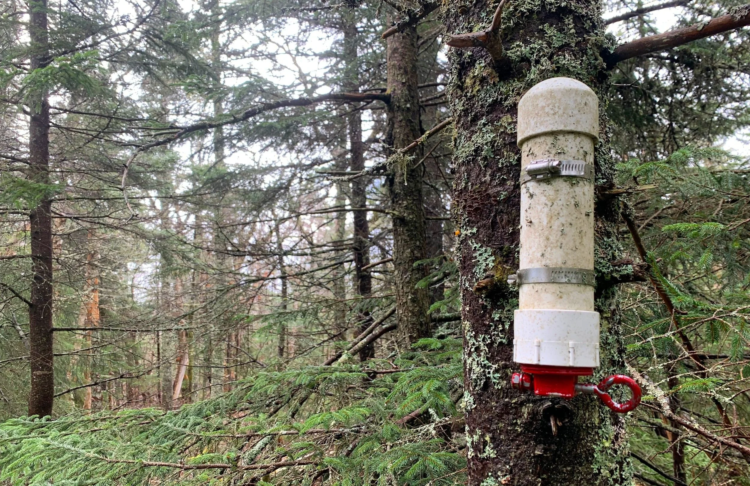
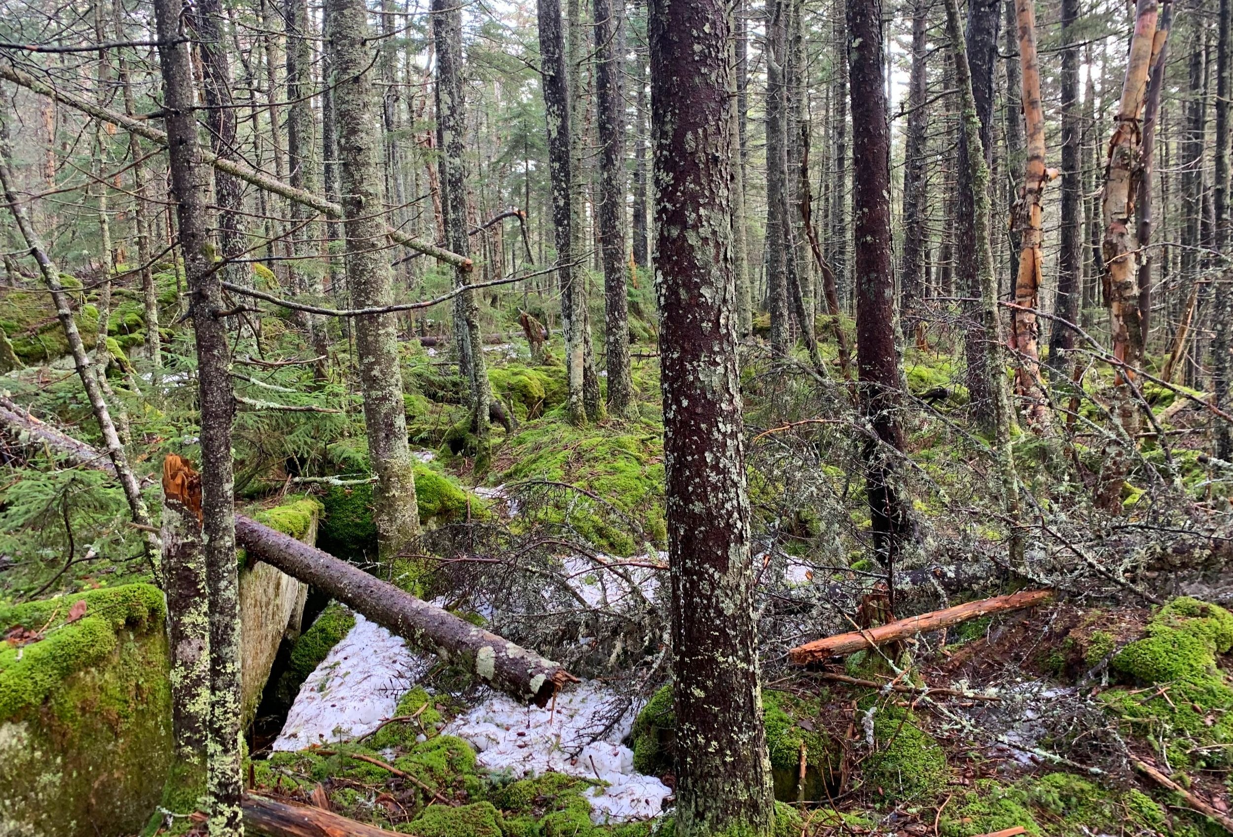
Green Mountain summit
Knowing I had passed the high point of Mt Cushman was a huge relief; a short-lived relief as I was beginning to hit residual snow patches on the southeastern side of the ridge. Dodging snow and blowdown made for a very tedious trek at 2,850’, just as I began to descend toward the col I could hear rain hitting the tree tops - when the canopy opened up it was actually wet snow raining down.
As the pace slowed to a near-crawl I dug out the Gore-Tex mountaineering mittens, aside from fingers which were wet from grabbing tree trucks on the descent, I remained warm enough in other Gore-Tex shells to keep hiking confidently.

Descending with Mt Kineo in the distance
The majority of snow lay in the actual low spot of the col, there I managed to find some annoyingly deep springtime slush for a short stretch. Once I began ascending up the west side of Green Mountain I found not only how the mountain likely earned its name (moss), but traded the soggy snow for waist-deep hobblebush which had begun to bud, but had yet to drown out the understory completely with its massive leaves.
The high point of Green Mountain was actually rather enjoyable, off to the south I could see a bright and open hardwood forest that I could not wait to descend into. Old gnarled birches mixed with fir and spruce to make up the higher forest canopy; it did take some circling and roaming but eventually I located the assumed high point and miniature canister which contained the summit register and several pencils.
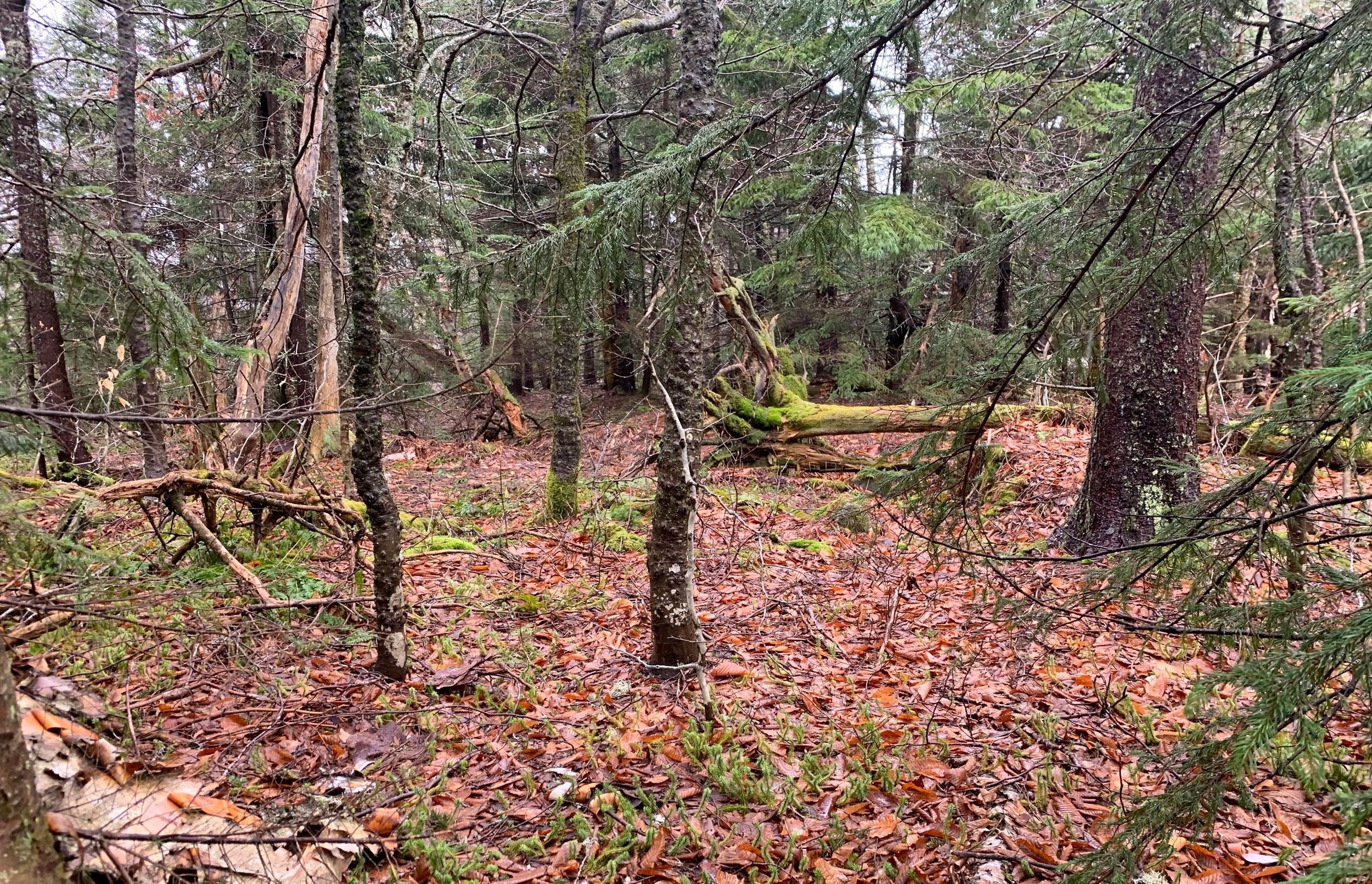
A jumble of forest obstacles
After taking a moment to log my climb into the next available space I was ready to get on out of there; all while atop Green Mountain I had the vision of that lovely hardwood forest in mind and could not wait to quickly make my escape downslope, back to the Hubbard Brook Road which I could then run back to my car.
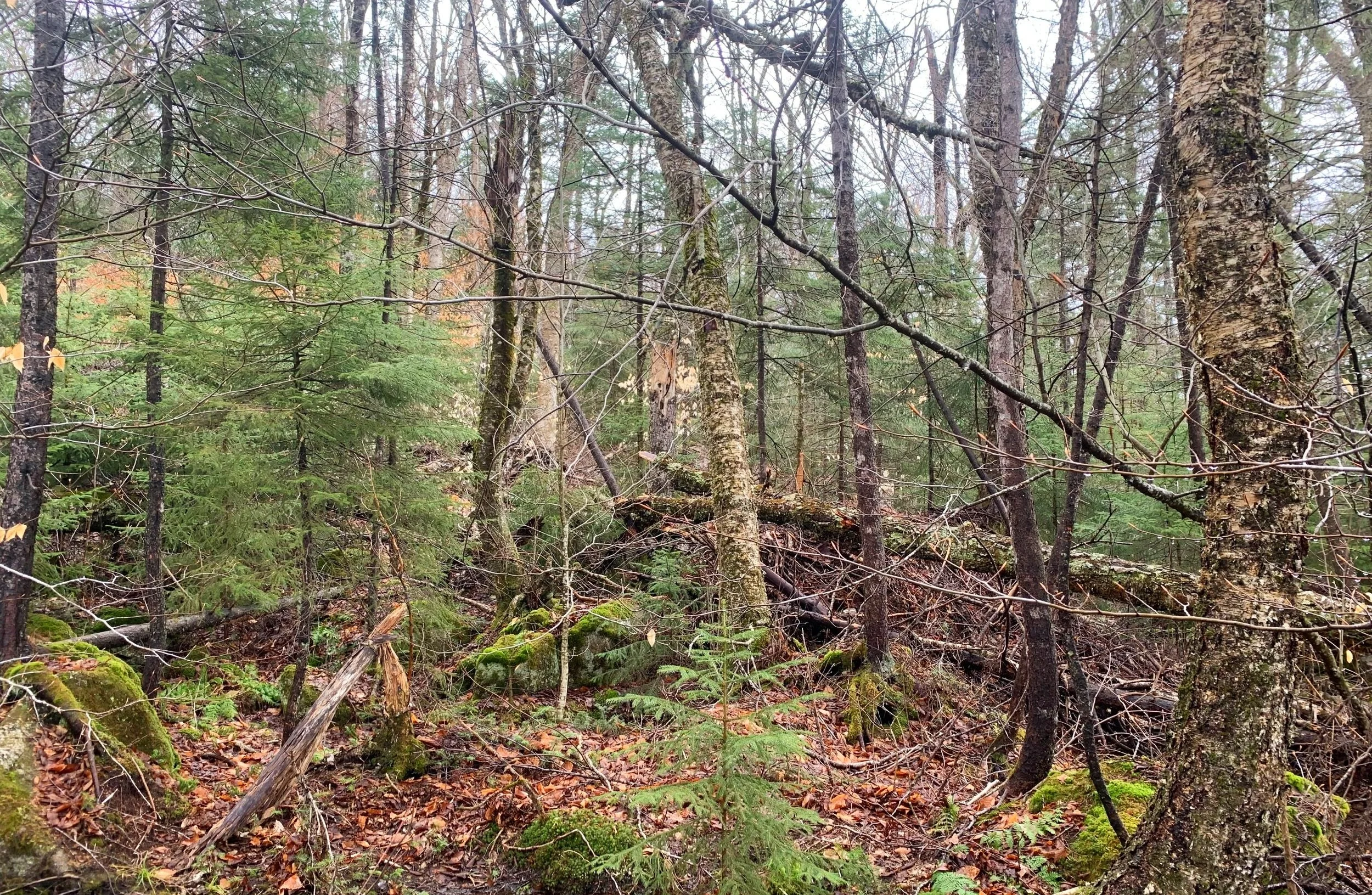
I hoped it would be just that easy but as luck would have it today, this beautiful hardwood forest would not last long, the blowdown patches hit hard and very frequent as I tried to sidehill in a southwesterly direction, back to my ascending tracks. Just when I thought the thick jumble of forest could not possibly get worse it usually did. One step at a time beneath dripping branches and over fallen tree trunks - I knew eventually I’d get there if I kept some semblance of patience.

Crossing Hubbard Brook
During the entire descent I kept running into mounds of deer and moose droppings, even spotting many fresh moose tracks in the muddy leaves. Finally, I started crossing the Hubbard Brook tributaries which roared down the hillside, several of which took some fenagling up and down the brook side to find a safe place in which to cross the torrent. The widest and fastest flowing brook crossing took place with the Hubbard Brook Road in plain view - that was a crossing I was willing to just walk right through if need be, luckily, that was not necessary.

Found Hubbard Brook Road!
Again I breathed a sigh of relief and hit a smooth trail running pace along the dirt and gravel roadbed; unfortunately, this too was short-lived, for as soon as I departed roadway and reentered the Hubbard Brook Trail I encountered enormous amounts of beaver activity - no fewer than 5 large dams and several beaver lodges along the way. Between all of the construction, snow melt and recent rainfall, the water was right up to the trail, overtaking it in several locations; I concluded I would make better progress by bushwhacking to the north of the obscured trail.
With 2.0-miles remaining, the rain now came down in buckets; I knew where I was and I was making my way out of the forest - that was all I could do at the moment. The modest trail jog kept warm blood pumping to fingers and toes until reaching my car where I had a fresh set of clothes waiting.

Beaver meadow with the northern ridge of Mt Kineo
So many parts did not go as perfectly and smoothly as I would have liked, but it is outings like this that I learn the most from; bushwhacks like this that really make me appreciate the blue sky, trouble-free rambles in the mountains. Once I was able to sit down in my drivers seat and shed wet layers I paused briefly to think to myself, “…that was my adventure of Green Mountain.”
Overall stats for the day:
10.08-miles
4hr 33 minutes
2,740’ elevation gain
Green Mountain - 2,762’