
Grandview + Cilley Mountains
Some days are for exploration, others for views; today was a recon mission. Before departing for a week spent in New Jersey, the White Mountains had an entirely different snowpack; the week of my absence saw unseasonably high temperatures, just driving to and from the mountains I could tell water levels had become higher - I was curious how much old snow remained between 1,500-3,500’ and how far upslope the snowline had progressed.

Heading down Elbow Pond Road
Ever since undertaking a winter exploration of the nearby Hubbard Brook Experimental Forest, I have had my eye on a return trek to visit this quartet of northern peaks which was once the original settlement in Woodstock, then known as the town of Peeling. There is a fantastic amount of history to be found regarding this area and I wanted a first hand glance at what might still exist - as well as, of course, an inquiry into the lingering snow-status at and around this elevation.
While there are several trails and old forest roads in which to access this region of the wilderness, I chose to approach via the Elbow Pond Road, or Forest Road 156 off US Route 118. As the gate was locked 0.1-mile from the main roadway, I parked near the sand pit which was evidently a shooting range for a variety of gun sizes; today, no one was out playing target practice in the area.

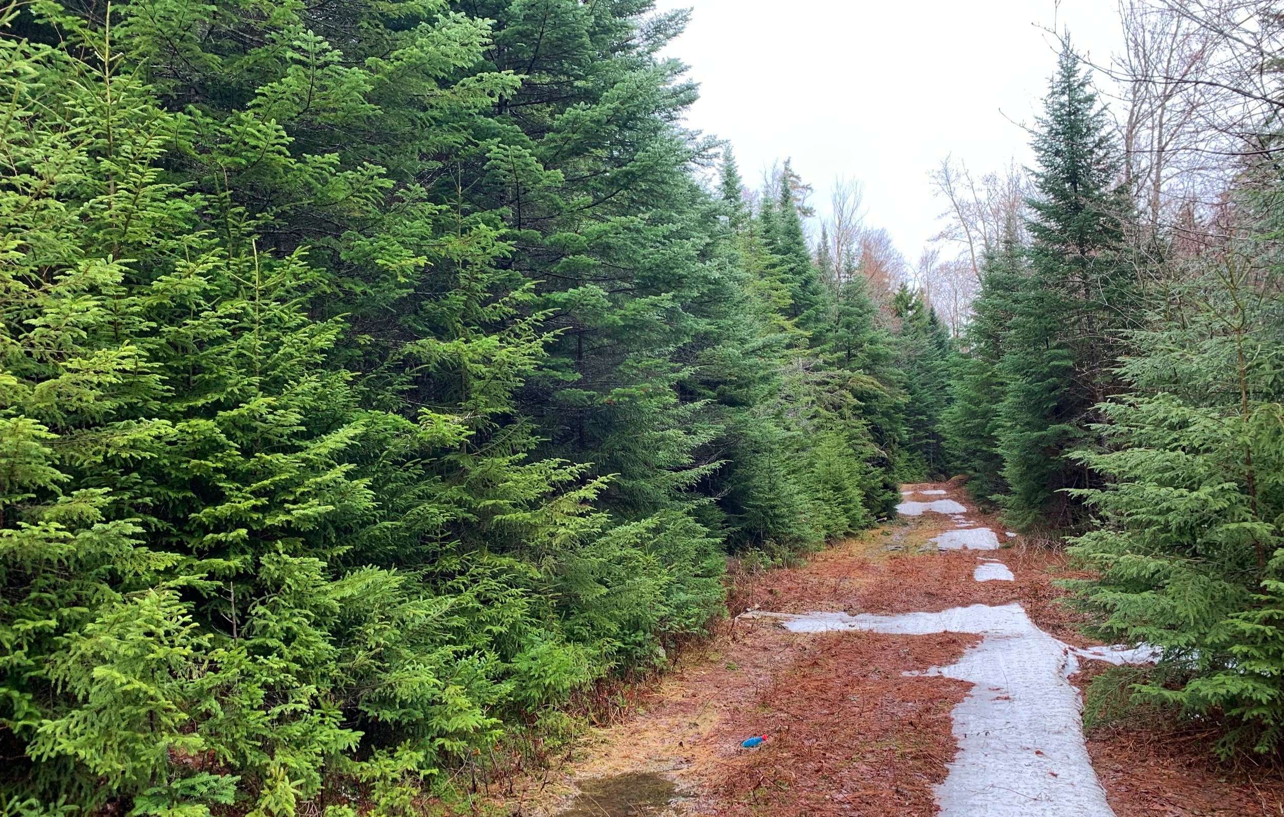
Early morning bogs
Just beyond the gate, the dirt forest road is bridged over Jackman Brook; today, several ducks said, “good morning” by way of various quacks as I passed by. Along the first mile of roadway several beautiful, waterside stealth campsites are passed, complete with firepits and driveways in which to park a car or truck.
While I glanced trailside for any moose activity, several boggy areas were passed which I found bookended by dense areas of conifer forest while the taller hardwoods rose up in the distance, almost glowing pink and red as their buds continue to grow larger with each warm spring day.

Turning away from Elbow Pond and toward trailless mountains
Reaching 1.0-mile into my journey, the main road continues for 0.3-miles to the eastern shore of Elbow Pond, beyond which the pathway becomes the Glover Brook Trail. Departing the old logging railroad grade, I swung onto the White Mountain Snowmobile Club’s Cilley Mt Trail, or FR 66B to begin a northeasterly trajectory toward my first objective of the morning.
Thankfully, most of the snow was gone along the snowmobile corridor, some hardpacked snow and ice remained but with the freeze/thaw cycles lately, the ice was not terribly slick beneath trail running shoe tread. Once at 1,730’, I departed the forest road and began the first bushwhack of the day.

Hints of views through fairly open forest
Although the conifer boughs were sparse, they were full of water droplets from overnight rain, just waiting to drop as I passed by; last years beech leaves behaved similarly despite my efforts to gently brush them aside. While I had waited until nearly the height-of-land on trail to veer off to the northwest, the ascent remained gradual over the 300’ climb up to the western summit of Mt Cilley at 2,030’.
After quickly signing into the notebook which was stowed in a salsa jar canister atop the high point, I descended off the mountain in a more easterly direction in which to meet back up with the snowmobile/forest road. Finding several downed trees to climb over, under or around, the mountainside travel was pleasurable, soft underfoot on a thick bed of old ferns, leaves and various stages of decomposing plant debris.

One thing this area of wilderness has no shortage of are old logging and forest roads, several of which could be seen radiating off in varying directions along the eastern slopes of the low mountain. Almost as soon as I regained the Cilley Mt Trail, the forest enveloped tightly on either side with a seemingly impenetrable wall of evergreen boughs.
For 0.4-miles I followed this road-width corridor of conifer trees until reaching a bend in the road; while recent maps show the snowmobile path continuing straight for a short distance before terminating, I found the path had completely disappeared into a wall of evergreen. While deferring any bushwhacking along this stretch as a last resort, I continued on the northerly spur which hooked clockwise uphill and continued toward the northeast.
Conifer corridor along Cilley Mt Trail
While I was pleasantly surprised to find this paralleling corridor continuing far into the distance, I was expecting to intersect the Mount Cilley Road, which is displayed on maps - I never noticed a westerly branch of the old town road, it appears the trail I had been trekking atop simply became the Mt Cilley Road. I was thrilled to find both forks of the Pike Brook bridged for the snowmobile corridor as the water levels remained slightly elevated with all the snowmelt.
Just beyond the second brook crossing, I stopped briefly to glance back into the surrounding old forest. At that point I noticed I was standing next to a rusty, old Yamaha 250 dirt bike - such a stunning burst of color emanating from the orange and white fuel tank amongst the green and brown forested landscape where I hitherto found myself.

Old relics along old roads
Passing through a snowmobile junction which veered off northerly, I continued along the Mt Cilley Trail until reaching the height-of-land at ~1,760’, at which point I began a northeasterly bushwhack, toward Grandview Mountain.
This off-trail ramble was more of the same once I pushed through a brief 15-20’ stretch of short conifer growth, opening up to hardwood with patches of dense blowdown. With a little ingenuity most tricky areas could be meandered around or avoided altogether. Once again, this ascent was an enjoyable climb up to the flat-topped 2,012’ Grandview Mountain; I could completely understand how the mountain earned its name - straining to picture the southwesterly views toward Waterville Valley and the Sandwich Range, most of which remained blanketed in the low clouds of morning.

Grandview Mountain summit
The summit canister was another salsa jar strung up in a tree atop the high point which contained a small registry notebook. After signing in and sealing the contents back up in the provided zip-lock bags, I continued along the southwesterly edge of the summit ridge toward the eastern peak; I was planning on making a quick pitstop at the Grandview East Peak, but as the summit register notebook advised that hikers should not miss a visit to the old fire tower remains and another 2000-footer, I certainly did not want to miss the opportunity to see what the little peak offered.
The rocks along the summit of Grandview were very unique; broken chunks resembling an old, cracked sidewalk with a thick layer of ferns filling the voids. The trekking was quick over the boulders, I soon found myself swimming downhill through a sea of young beech saplings.

Ascending Grandview East Peak
While the northeasterly descent was gradual off the main peak, the view ahead showed a steep, rocky 40-50’ scramble back up the eastern peak. Utilizing rocks and sturdy roots I muscled up the slope, slowly the grade tapered as the high point grew near. Before long I reached the remnants of the 1939 fire tower which was decommissioned 1948 before being dismantled around 1960.
Once I had finished poking around and looking at old ginger ale cans, metal drums and various metal scraps strewn about the summit area, I took off southwesterly, simply tracking toward Mt Cilley itself, as I could see the low mound off in the distance through the bare trees.

Grandview East Peak fire tower remains
Reaching the Mt Cilley Road I began back toward the west, assuming I could easily gain back some elevation that way. Before long I was plunging ankle-deep into the boggy, saturated roadway. After only a few wet steps I veered off, back into fairly open hardwood forest and found several more old, fading forest roads heading off in varying directions - remains of the old Peeling settlement, perhaps?
I had encountered fresh evidence of deer beds, scat and small hoof imprints in mud on the other summits but I had yet to spot any sign of moose in the area; the northeastern ridge of Mt Cilley was littered with their massive hoof tracks and piles of appearingly-fresh scat, I was now in moose territory.
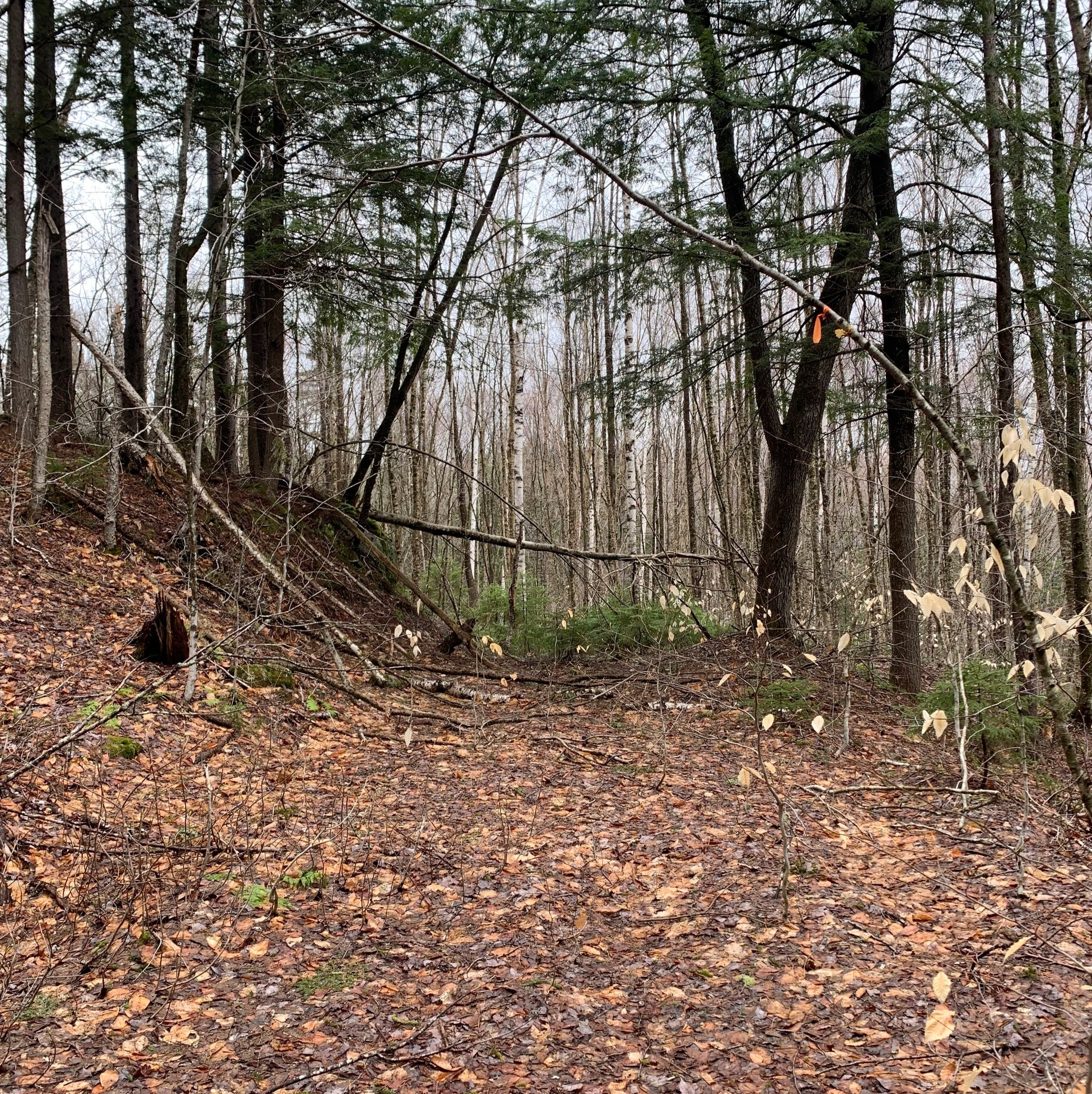
Old forest road on Mt Cilley
While ascending the low slope toward the summit ridge the rain began pitter-pattering all around; while I was already wet from plunging into the saturated trail and from branches raining down on me - thanks to the warm morning air, I didn’t mind so much - although the possibility of even heavier rain encouraged me to pick up the pace.
As I climbed higher into the rain which had begun to fall now as a wet snow, I had neglected to pay attention to my route and nearly proceeded cleanly right up and over the summit ridge, almost descending toward the south. Upon noticing the landscape falling away before me I did realize my mistake and backtracked a few paces to finally contour westerly, across the summit ridge.

Open patches dotted the summit ridge
Beyond ~2,100’ the conifer forest grew thick but never so tight to become claustrophobic, always finding a narrow corridor to weave my way through. Along the summit ridge I found more of the broken plates of rock, still resembling sidewalk segments with old ferns for grout, a very beautiful area that I’d love to explore on a drier excursion.
On the far-west side of the high ridge I found the summit canister - yet another salsa jar - this time it was wrapped in blaze orange duct tape, making it easier to spot amongst the canopy. Just beyond the register was what appeared to be a lovely south-facing lookout; today, the view was into a wall of cloud.

Mount Cilley summit
Turning to descend off the mountaintop I wanted to pick a quick and direct route toward my starting point, I was met with very wet, deep snow in most directions. Beyond this wet slush a more familiar forest floor of fallen leaves and thin beech, birch and striped maple comprised the canopy.
Just as I thought I was in the clear, nearing my exit route which had once been my pathway to reach this mornings other summits, I plunged yet again - this time both feet dipped into a mossy bog; quickly veering south to find more solid ground, I passed several more old logging and forest roads before finally making my way back to the sandy snowmobile path.

Dense beech grove at 1,720’
Although now the rain had ceased, I rolled up my soggy pant legs and tightened my pack straps for a 5.86-mph trail trot for the final 1.6-mile trek back to my car, loving every moment of somewhat-solid footing on the springtime trails.
Finding several old relics and stone building foundations along my hike this morning is driving me to dig through some old White Mountain books and maps to see what other details they contain about the old settlement and ancient roads which once cut through this forest. I found the snowpack quickly disappearing, exposing buried trails quicker than expected. This felt like a long winter and I am ready for more solid ground underfoot; if this is just a glimpse into warm-weather bushwhacking, I am very excited for what’s to come, before the crawling and biting bugs come out to play.
Overall stats for the day:
8.79-miles
3hr 37 minutes
2,116’ elevation gain
Mount Cilley - 2,227’
Cilley Mountain West Peak - 2,030’
Grandview Mountain - 2,012’
Grandview East Peak - 2,000’

Summit register atop Grandview Mountain