
Mounts Crawford + Resolution
While this is merely a continuation of a post written several months ago, at that time the Mount Parker Trail ledges enroute to the 3,415’ summit of Mount Resolution were shroud in a fine sheet of shimmering ice, forcing an abandoned attempt on the peak. For a full, in depth recount and historical context of the Davis Path as well as a trek along the spur trail to gain the 3,119’ summit of Mount Crawford (the post also covers ascending Stairs Mountain), pay this link a visit before reading on: Mt Crawford + Mt Stairs via Davis Path.
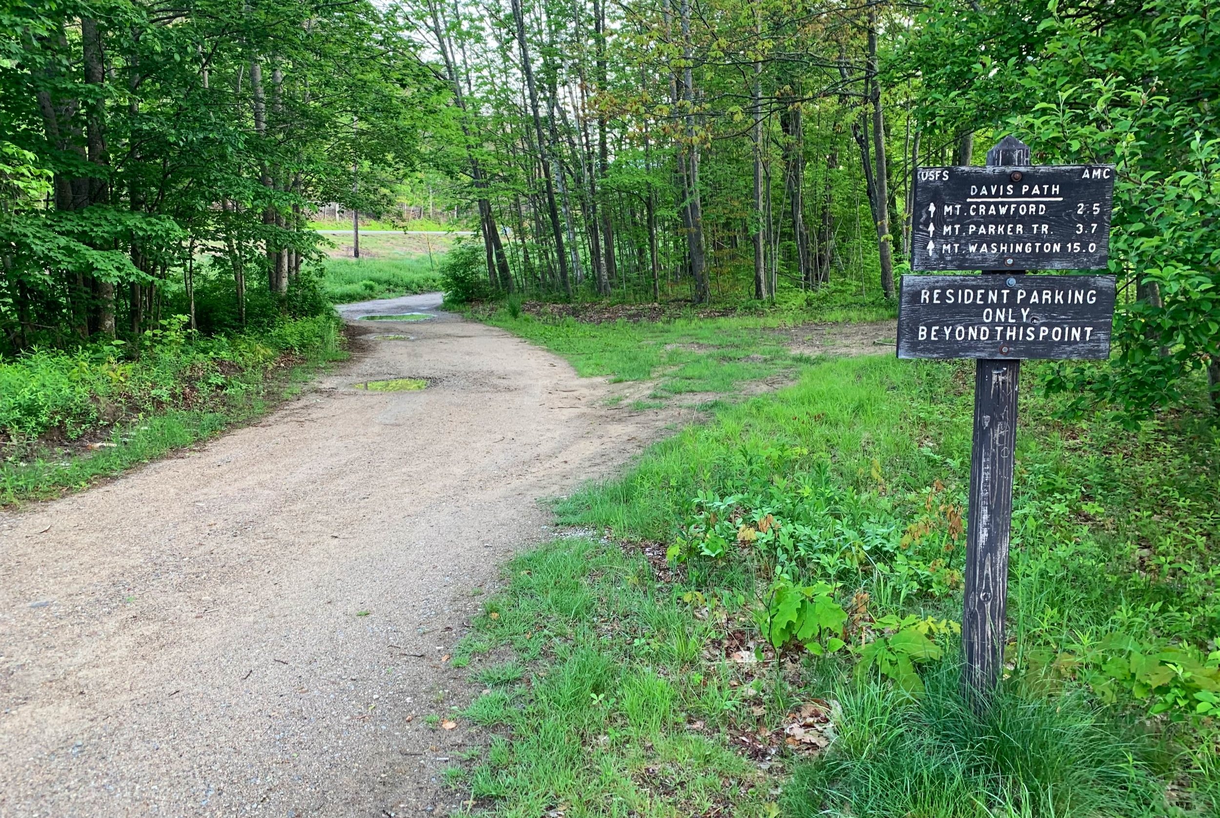
Beginning along the Davis Path
With a break in odd-ball weather patterns, Alanna and I paid the Davis Path a revisit, a better choice elsewhere could not have been made. Despite a few lingering, pesky, biting bugs while under the forest canopy, spring flowers brightened up an already luminously verdant hillside.
Parking at the large trailhead lot off US Rt 302, we began by crossing the Saco River atop the Bemis Bridge after a short stroll down Crawford Valley Way. Passing several quaint residences, lush ferns and grasses grew waist-height, lackadaisically drooping into the narrow footpath. A small brook was passed atop a wide, hand-hewn log; the second of such logs had collapsed into the murky water, making for a narrow crossing.

A trickling water crossing on the Davis Path
Trekking over a small tributary to the mighty Saco River was managed atop smooth river boulders; the scoured sides of the drainage implying a massive torrent from previous flooding had ripped through. Today, there was merely a trickle underfoot. Passing a marked camping spot along the low ridge to the south of the Davis Path, the well-graded trail gradually becomes rugged as the pitch increases. Several beautifully lain stone staircases aid in ascending the slope, in several instances the trail narrows to form a lightly washed out gully with small boulders to dodge, some of which have already released from the mountainside and tumbled a short ways down the trail.

Stonework along the Davis Path
Growing steeper, the old bridle path begins a series of switchbacks to gain the ridgeline; swinging northerly onto the ridge proper, the trail veers through a picturesque spruce-fir forest, the floor appearing soft and shroud in fallen, warm-hued conifer needles. This morning the low sun shone through the evergreen canopy creating such a warmth contrasting with the chilly morning forest air.
Ascending onto a ledgy outlook, the first of many stunning vistas is encountered, which is nicely framed by scrappy conifer branches; the low, forested dome of nearby Mount Hope can be seen following down the ridgecrest while the distant peaks of Waterville Valley and Passaconaway wilderness areas can be seen rising like jagged saw blade teeth.

Stepping out of the forest into the open air
Shortly down the Davis Path the trail encounters a split: the Mount Crawford Spur veers left, while the Davis Path continues right, circumnavigating counterclockwise around the peak, thus continuing into the Dry River Wilderness, penultimately reaching Mount Washington at the end of a 13-mile trek (~15-miles end to end on the Davis Path).
Ascending primarily atop bare ledges, we were thankful for dry conditions as we made the 180’ climb over the quarter-mile trek in which to reach the open air mountaintop. From the 3,119’ summit, a most stunning glimpse through the Stairs Mountain notch is found; Mount Washington still bore remains of snow atop its steepest slides; a most unique view of the Frankenstein Cliffs and Crawford Notch is had from this vantage point. From any one location, 360° views cannot be had, but venturing around the scrappy spruce-fir summit cap, great panoramic views can be had from nearly all sides on Mount Crawford.

Beginning the Mt Crawford Spur Trail
Back along the Davis Path, the trail returns to the dense coniferous forest via a well-graded pathway, the old bridle path. Down the shoulder of Mount Crawford, the trail dips into a sag which is appearingly oftentimes wet underfoot. Several open ledges are encountered along the trek, which offer a fantastic look-back toward the east-facing summit cliffs of Mount Crawford, seeming so far away yet the distance had been gained rather rapidly once submerged back in forest.
Dipping back into the forest yet again, the Davis Path navigates one of the softest stretches of forest one can find in the White Mountains. Several small waterways trickle and flow downstream as one steps over a handful of small diameter, downed trees. Around the shoulder of Mount Resolution, the old bridle path side-hills with gentle rises and dips until reaching a multi-branched junction.

Stairs Notch with Mount Washington looming distant
Furthest left, the old path can still be discerned which would have taken backpackers a short distance to the old AMC Resolution Shelter, which was once situated on a usually flowing, small branch of the Sleeper Brook, should water be needed. Straight ahead, the Davis Path continues onward, swinging steeply with rugged footing toward the summit of Stairs Mountain before continuing along the ridgecrest toward Davis and Isolation Mountains.

Mount Crawford from the Davis Path
We proceeded along the right-most trail found at the intersection to begin southward along the northern terminus of the Mount Parker Trail, which would guide us up to the 3,415’ summit of Mount Resolution. Being the 15th-highest peak on the New Hampshire 52-With-A-View list, Mt Resolution is reached by a rocky, slabby trail with a fantastic panorama swinging northwesterly to southwesterly.
Departing the large junction, the Mount Parker Trail climbs steeply right away, with rocky and loose footing; the path meanders through a shallow, moderately eroded gully before reaching the first series of bare ledges. As there were narrow bands of water trickling down the bare face despite a relatively dry morning, we chose to step over and around the patches and streaks of wet red slime, which felt more slick underfoot than bare ice.

Mount Parker Trail enroute to Mount Resolution
Great care was taken while ascending and descending the steep, bare slabs, most of the climb can be made by utilizing cracks and lesser-grades in the slope. Following small rock cairns, one can also find occasional painted blazes on the bare rock as well. Keeping along the upper, northeastern edges of the slabs, we gradually made our way safely back into the tree line for a short stretch before emerging near what looked to be a comfortable sand and gravel camp pad surrounded by low, scrappy summit growth.
While today, we opted to simply trek the 200’ spur path to an enclosed summit cairn, a brief attempt was made to reach the official high point of Mount Resolution which lay about 0.15-miles northeast, on a trailless knob which sits several feet higher. Finding several herd paths which appeared to venture in that general direction, we were quickly greeted with gobstoppingly thick forest, with no indication of prior travel. Perhaps a revisit with a solid snowpack would make for a more enticing bushwhack through the thick, scrappy summit canopy.

Southwesterly views from Mount Resolution
After a quick snack and taking in the sunny air and vast summit views, we turned to retrace our steps, greeting hordes of hikers and even coming across a pup which no one could claim, just roaming the Davis Path. The lone rambling dog had a tag to indicate its name was “Mia”, but with no further contact information, we continued on our way, bounding down the rocky switchbacks before taking a much needed dunk in the ice cold Saco River. A trek along the Davis Path is always trail time well spent with great rewards.
Overall stats for the day:
9-miles
5hr 44 minutes
3,294’ elevation gain
Mount Crawford - 3,119’
Mount Resolution, “hikers peak” - ~3,410’

Summit cairn atop Mount Resolution