
Mt Pemigewasset
After a socked-in New Years Day visit to this 2,557’ summit, with its northeasterly-facing ledgy views - hence the reason for the mountain being featured as the 49th-highest peak on the New Hampshire 52 With A View list - several years ago, we had longed to make a fair-weather return to bask in Mount Pemigewasset’s grand vistas and enjoy its forested trails in a new season.

Beginning along the Mount Pemigewasset Trail
While the mountain can also be accessed via the Indian Head Trail, further south along the Daniel Webster Highway (US Route 3), we chose to begin along the familiar Mount Pemigewasset Trail, which can be found initiating out of the northern-most parking lot at the Flume Gorge and Visitor Center.
Departing the trailhead parking area, the route initially coincides with the Franconia Notch Bike Path for ~400’ before diverging onto the Mount Pemigewasset Trail on the left, a sign with arrow indicates the way. A well-graded footpath guides hikers through the first of three tunnels, the first of which is bored beneath US Route 3. Atop a very tidy pathway, the trail crosses a bridged brook and gently rolls through a mixed forest with lighter green hues of striped maple, beech, birch and hobblebush while darker contrastive hues of spruce, balsam and low-laying mosses knit into the hillscape.
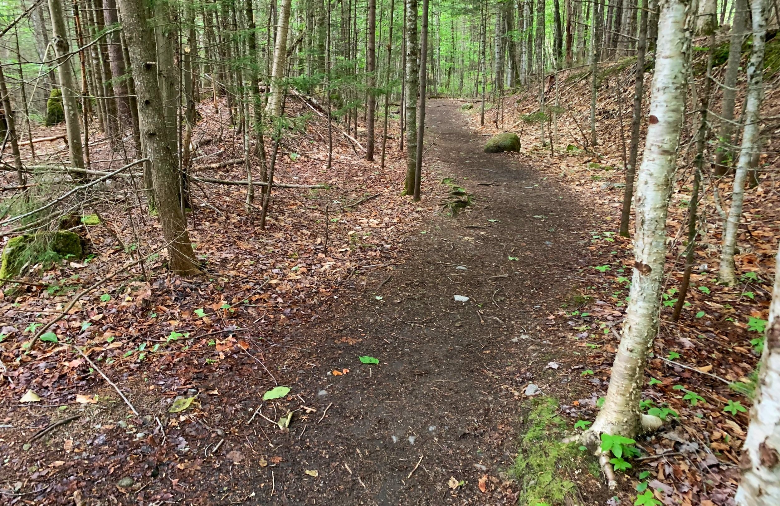
Soft paths of the early Mt Pemigewasset Trail
From west to south, to westbound yet again, the trail swings through the forest, allowing the tramper to forget the fact they are roaming near-to and oftentimes under a busy roadway. At 0.25-miles, the path tunnels beneath both north and southbound directions of Interstate-93. Upon exiting the concrete tunnel, a stone staircase greets the hiker, which will aid them in beginning their ascent up the mountain.

One of several tunnels under the highway
Swinging northwesterly, the Mount Pemigewasset Trail crosses several small waterways atop well-placed boulders; beautiful trailwork, stone staircases, waterbars and various trail rebuilds were just a few of the recent improvements having been performed by volunteers of The Trailwrights.
Through a lush hardwood forest the trail climbs, swinging to cross several smaller flumes and drainages. At 0.6-miles from the trailhead, the path joins the original section of Mount Pemigewasset Trail to continue ascending toward the summit. While the pathway is marked with blue paint on trees, double blazes indicate a swing or switchback in the footpath direction. As the trail climbs, the treadway becomes increasingly rugged with roots and rocks nearly forming steps up the low-angle mountainside.

A switchback in the trail
Large grey and white trunks of beech and birch line the side of the pathway as it ascends by several rock staircases, passing a massive trailside boulder enroute. Swinging counter-clockwise (southward) onto the summit ridge, the trail enters into a low boreal-style forest comprised of spruce, fir and contrasting paper birch trees. The trail becomes rocky amidst an otherwise soft footway of fallen conifer needles, roots emerge, spidering their way across the forest floor.
A signed junction marks the diversion for the Indian Head Trail, which winds down to its US Route 3 trailhead; veering left will continue along the Mount Pemigewasset Trail which first comes to a short herd path leading to a smaller set of ledges with a similar westerly vista as the main objective. Down a shallow dip, followed by a short, rugged scramble, the path emerges at the main Indian Head ledges - an abrupt, vertical cliff with a wide panorama toward the Kinsman Ridge.

Southwesterly panorama from the Indian Head ledges
Following blue blazes on bedrock, the trail continues to swing counterclockwise (left), around the summit before reaching the high point of the mountain. Unfortunately, there are unsightly remains of countless campsites and blackened scars of previous mountaintop campfires to be found in the woods surrounding the summit, herd paths meander in every direction and many “Cottonelle flowers” can be found in areas which had become a crude hiker bathroom.
From the ledgy high point, a grown-in view toward Franconia Ridge can be found in fair weather. On the return trek, just below the summit, old yellow blazes can still be found leading southwesterly off the summit, this path is unmaintained, having been abandoned long ago - this path should not be followed.

Socked in summit views toward Loon Mtn
Back down the rugged path we traipsed, stopping to admire a beautiful stretch of forest along the way; passing several other hikers along the way, wishing all a trek as pleasant as we had found. Certainly, for the low amount of effort expended, the rewards are astronomical; a step away from towns and into a quiet wilderness, with views which rival some of the finest of the Whites - now we just need a bluebird day in which to view the higher peaks!
Overall stats for the day:
3.46-miles
2hr 14 minutes
1,414’ elevation gain
Mount Pemigewasset - 2,557’