
Willard Mountain
“From perhaps no other point in the mountains can so grand a view be obtained with so little effort”, accurately described Mount Willard by the early authors of the AMC White Mountain Guide.
Whether time is a factor or not, this quick ascent is a pleasure to roam in any season, even having been reported to be, “an excellent ski run for intermediate skiers”. These days, you may be more likely to find a narrow, packed path from throngs of snowshoers seeking both the rewards of an easy ascent and an iconic glimpse into the majestic vista of Crawford Notch.
Lower Mount Willard Trail
Located in the heart of Crawford Notch in the White Mountain National Forest, the trail for Mount Willard begins at the former Maine Central Railroad Depot, which has been repurposed as the AMC Macomber Family Information Center and is open Summer and Fall months. Visitors to the Information Center can stock up on last-minute hiking necessities, gifts and souvenirs, or have questions answered at the information desk.
In warmer months, hiker parking can be found at the Information Center, donations are requested to help maintain the lot as well as for other various expenses; if the lot is full (as Crawford Notch is notoriously extremely busy on nice weather days anytime of the year), or unplowed in winter, additional parking can be found along the US Rt 302 shoulder, as hikers of the southern Presidential Range often fill these spots first.

Centennial Pool
The trail to summit Mount Willard begins across from the delightful Saco Lake, just south of the AMC Highland Center, at the old train depot. Crossing the tracks, be sure to watch out for The Mountaineer, the scenic train which runs through both the Mount Washington Valley and Crawford Notch along the old Maine Central Railroad’s Mountain Division Line, which is active in summer and fall.
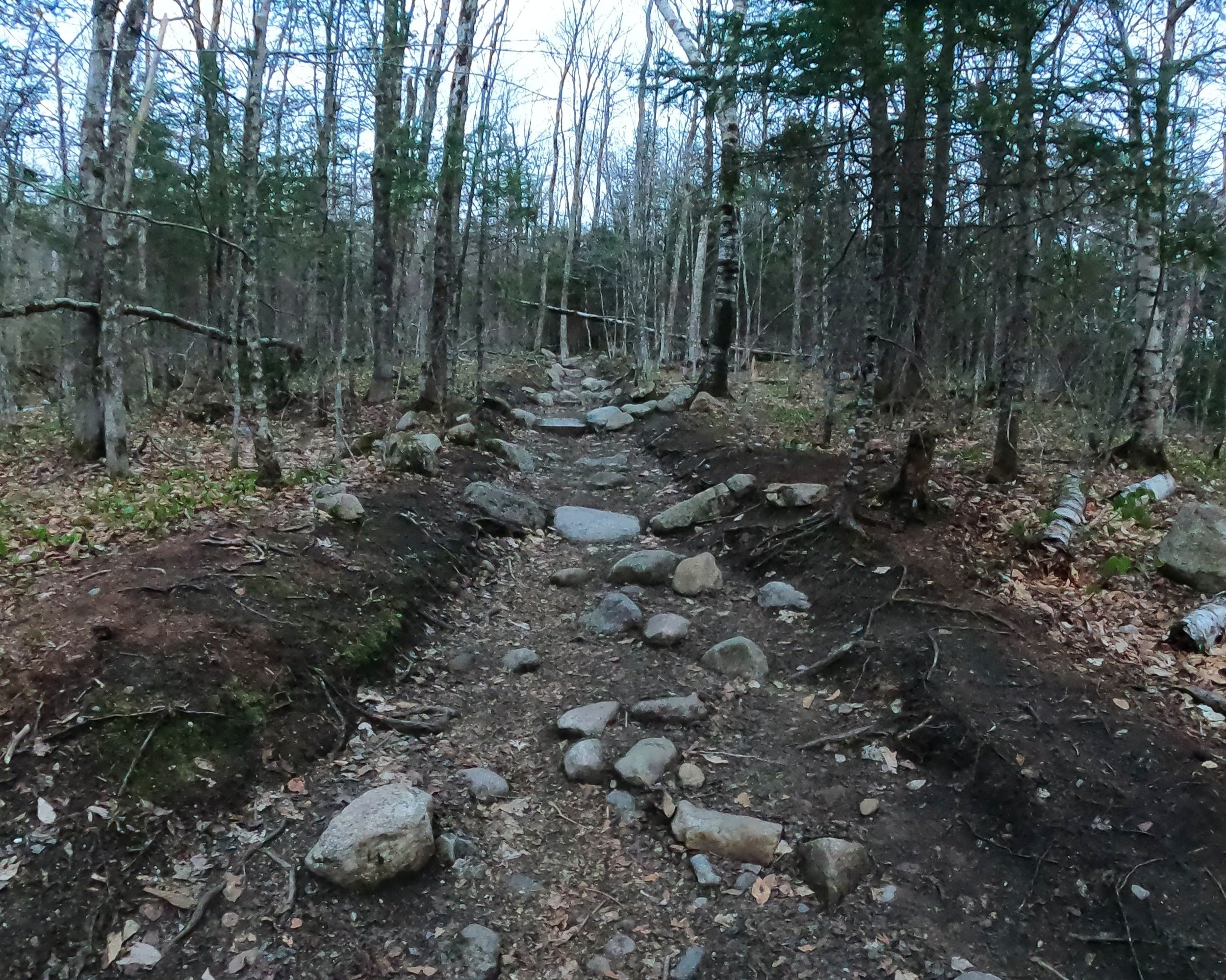
Stepping into a stunning white birch grove, the path initially coincides with the Avalon Trail for 0.1-miles. At the first junction the Mount Willard Trail diverges left while the Avalon Trail continues straight. The rocky, hard-packed dirt trail soon becomes increasingly eroded with rough footing atop boulders soon after crossing a small brook - in winter this waterway can become rather wide as layers of ice go through freezing cycles.

Rough section of Mount Willard Trail
Unmistakable and well-defined, the path crosses the brook and begins a fairly straight, southwesterly ascent through open hardwoods until reaching a sign at 0.5-miles denoting the picturesque Centennial Pool just off-trail to the north (on right while ascending).
The Mount Willard Trail now makes a southerly swing to continue ascending before meeting back up with the original carriage road at 0.7-miles, which, prior to the mid-1950’s, fully comprised the route to the ledges atop the mountain; by 1955, the once well-maintained carriage path had become overgrown and washed-out in many places but was later cleared in 1958, thenceforth featuring several re-routes around the heaviest washed-out portions.

Soft path nearing the summit ledges
Footing on the pathway, which had resembled a streambed briefly, becomes more stable underfoot upon rejoining the old carriage road; unmistakably, the wide path now gradually ascends through the picturesque woods and at 1.0-mile makes a large swing to join the northern ridgeline proper.
In warmer months old pieces of concrete drainage pipes emerge from the eroded footway, several segments can even be found laying trailside further up the mountain, evidence of a well-constructed mountain road; even in 1876 the road was reported to be in very good condition for traversing.

The Notch is nearly in sight!
Footing remains rocky until making the final southerly swing, bee-lining toward the open ledges; here, the path has received many stone drainage bars and is in very good condition even despite the occasional boulder sticking up; alas - this is a mountain trail, after all.
During the ascent of the final several rods through the beautifully forested tunnel, a light can be seen not far up ahead; here, the pathway suddenly breaks open out onto the south-facing, precipitous ledges of Mount Willard. Beyond the rocks the mountain drops off, casting a view far into Crawford Notch. Mount Webster (3,910’) , with its ravines and cascades, comprises the eastern wall of the gulf, while the slide-streaked mass of Mount Willey (4,255’) rises to the southwest.

Springtime sunrise in the Notch
Twelve-hundred feet below, the turnpike parallels railroad tracks, creating two unnatural, well-defined lines which meander along the valley floor, eventually vanishing far into the distance. North of Mount Webster, several peaks of the southern Presidential Range can be picked out; just beyond the long shoulder of Mt Willey, Mounts Nancy and Bemis can be found, while, straight ahead the long, low ridge of Frankenstein Cliffs (2,531’) is located.

Winter sunrise in the Notch
As I have made many ascents of Mount Willard, it occurred to me one day that I had actually never continued onward to reach its true high point, that is until Christmas Day 2022. With snowshoes and a deep snowpack to help preserve the fragile vegetation, Alanna and I took off into the woods from the western-most ledges. Through beautiful, mostly-open woods, we swung northwesterly until reaching what we concluded was the high point; an uneventful and completely wooded summit.
Retracing our snowshoe tracks back to the ledges and satisfied to have made the additional trek, we remain unlikely to make a repeat visit without another heavy snowpack - for even a small amount of traffic will begin herd paths through the sensitive woodland found atop the heavily trafficked Mount Willard.
Overall stats for the day:
3.36-miles
1hr 54 minutes
1,171’ elevation gain
Mount Willard - 2,865’

Crawford Notch from the AMC Highland Center