
Albany Mountain
While staying for a spell at the beautifully remote Crocker Pond Campground, Alanna and I searched for things to do once the day-long dreary rainstorm had passed; we had entertained a brief trek down the Albany Brook Trail, which follows along the western shoreline of Crocker Pond, eventually terminating at the secluded Round Pond, and now wanted more wilderness.
As we were 7-miles from the main roads of West Bethel, Maine and wanted to prolong our stopover in the White Mountain National Forest, we were merely a stones-throw east of the stunning Caribou-Speckled Mountain Wilderness. Having passed the trailhead multiple times on our rainy drive into town and back, after a quick consult with a topographic map, we decided to see what the forest paths beheld.

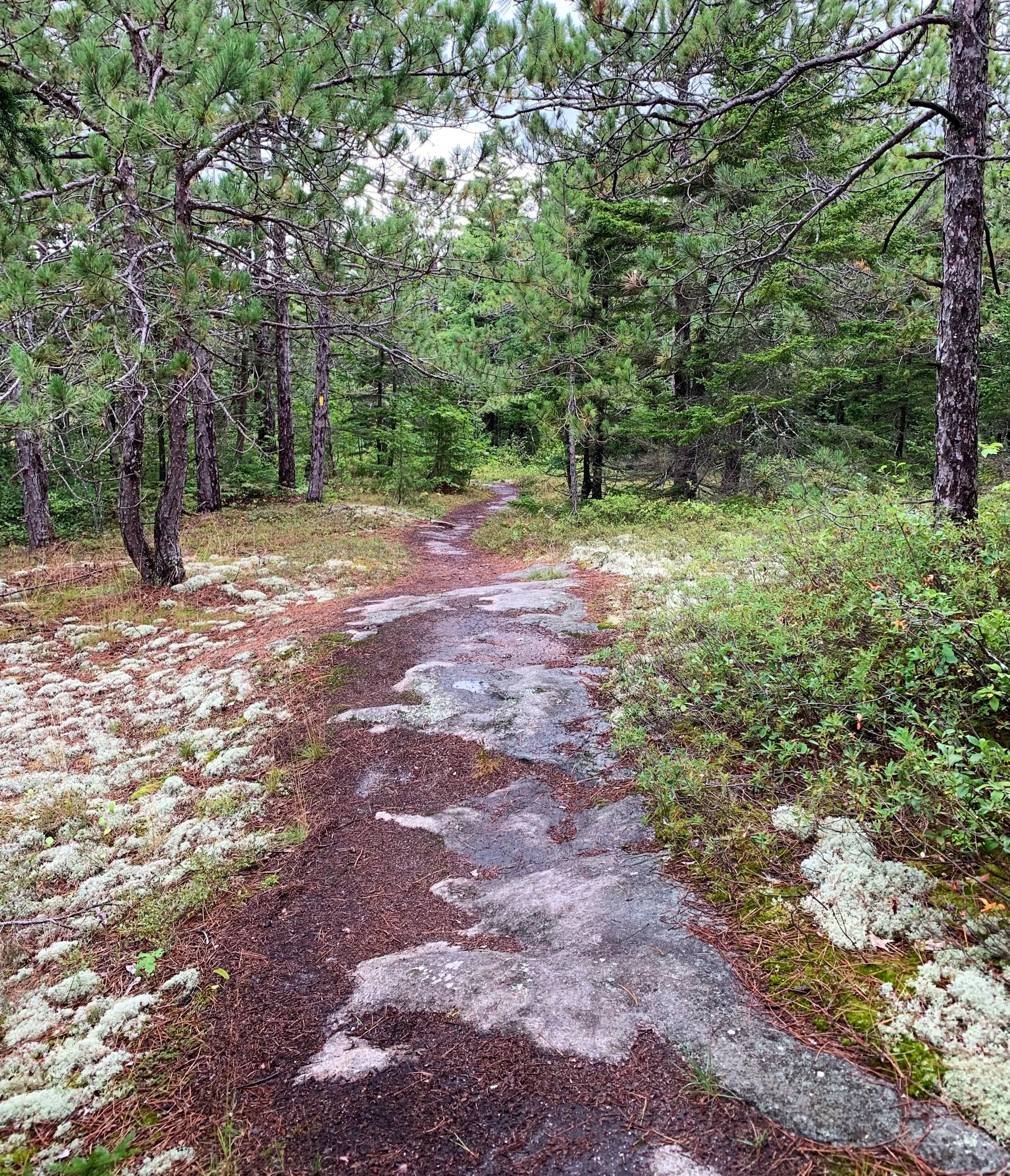
Soft paths of the Albany Mountain Trail
With a leisurely start to the day, we made the 0.9-mile forest road walk from the campground to the Albany Mountain Trailhead. Surprisingly, as any other vehicles had yet to arrive to the otherwise popular trailhead lot, we had the 1.9-mile trail up to the summit to ourselves.
Immediately on trail, we were welcomed to a conifer needle-topped, old logging road, while soft underfoot, was also a pleasure to all senses: the sweet scent of pine filled the mountain air while evergreen needles and a lively understory contrasted beautifully with the dark, rich soil and wet conifer bark - right away it was apparent we made the correct choice to explore Albany Mountain.

Beaver dam crossing
While gaining minimal elevation for the first 0.6-miles, we reached several brief trail re-routes around soggy patches and in other places, elegantly lain rock-work early along the Albany Mountain Trail. While moseying through the lower forest we could hear the New England Brook to the north, flowing strong, given the past 36-hours of drizzling rain it was funneling.
Passing several areas of prior logging just off-trail, I curiously wondered if these were left-over salvage lots from the December 1980 windstorm; looking at the area from above, the cleared lots resemble a patch-work quilt of forest canopy.

Diverging onto the Albany Mountain Spur
At 0.4-miles we encountered another re-route and shortly thereafter a wetland where the soft path followed atop a rather muddy beaver dam. Previous hikers had even placed long tree trunks along the marshy trail to avoid wet feet. A dense, bushy weave of brightly colored, orange jewelweed lined the northern side of the dam crossing, once across we were plunged back into lovely forest.
Here, the old Albany Notch Trail would have diverged, continuing briefly westerly before swinging south, entering the notch itself; due to extensive beaver flooding on the trail, it had been abandoned around 2010 and henceforth coincided with the Albany Mountain Trail.
Footpath heading toward the summit
As the path now swings to ascend the mountain in a southerly direction, following along a tributary brook before finally crossing it. The trail swings counter-clockwise to gradually ascend the northern ridge of Albany Mountain and at 1.5-miles from the trailhead, the Albany Mountain Trail veers off toward the west, where it will meet up with the old Albany Notch Trail at the height-of-land.
To reach the summit of Albany Mountain, we continued now southeasterly - toward the left, along the Albany Mountain Spur Trail. Not far into the final 0.4-mile climb and hints of herd paths became noticeable as they seemingly meandered in various directions; evidently, the summit ledges of this mountain once featured flourishingly rich blueberry picking.

Southeast toward Albany Notch and beyond
Along one of these short, westerly side paths, hikers can now find a beautiful vista with a fine downlook into Albany Notch, with presumably the southern Presidential Range on a clear day, today was chock-full of low-hanging clouds; however, Kearsarge North to the southwest was clearly visible amidst a brightly lit haze.
Bare rock slabs resembling a stone sidewalk comprise most of the remaining trail as one ascends the final 0.3-mile stretch to reach the summit. While the actual high point was found at a lovely rock cairn, there are no views from here; some maps indicate the trail traverses up and over the summit, continuing 0.2-miles to the south.

Albany Mountain
Perhaps there is a fine lookout to be gained at the end of the path, but with the east-facing ledges we could spot while ascending, and given the painfully low cloud-ceiling (thankfully we remained just beneath), we retreated several rods back downslope to perch upon the granite and gaze deeper into the Maine wilderness - to places unknown to us that we might some day visit.
Overall stats for the day:
6.03-miles
4hr 7 minutes (with a break atop the east ledges)
1,325’ elevation gain