
Whiteface + Esther Mtns
Hiking along these trails was, for me, like going to a special place to visit an old friend. It had been nearly 7.5 years since standing atop these mountain tops in the Adirondack wilderness, in the midst of a quest to become an Adirondack 46er.
We had done it, my father and our adopted hiking mother, Wendy; we began on Giant Mountain several months earlier and stood proudly atop Haystack Mountain on June 4th, 2016; thus becoming 46ers, #9839, 9840, and me - 9841.
I had been back several times over the years to hike with the old crew for sunrise as well as several solo missions to the Trap Dike and most recently an 11-hour traverse of the entire Great Range, an adventure I’d dreamt of while still a NY resident.

Ascending Marble Mountain Trail
With plans to visit the Lake Placid Olympic Ski Jump Center to watch one of Alanna’s students compete, I tossed the idea of hiking Whiteface and Esther for her first Adirondack 4000-footer climb, she was immediately on board.
Base camp was a tiny home rental we had found in Jay, NY, ~15-minutes from the Marble Mountain trailhead; close enough to everything we wanted to visit yet far enough from downtown Lake Placid tourist area.
The journey begins with alarms going off at 3:01am, or was it 4:01am? Immediately upon waking our bodies were confused by daylight savings time. The weather was calling for clear skies until 1pm with temperatures rising to the mid-thirties, enough time to roam before snow would turn to mashed potatoes.

Sunrise from a lookout on Marble Mountain
At 6:15am we were crunching in snowshoes down the packed trail as breath lingered in the 16° winter air. Unlike the White Mountains, the Adirondacks have a thing for snowshoes - it is a ticketable offence to be on High Peak Wilderness trails in 8+ inches of snow without them. The lack of postholes on these Adirondack trails was just glorious, quick and efficient trails from car to summit and back.
Beginning at the SUNY Atmospheric Sciences Research Center, we parked nearby on Marble Mountain Road. Our hike took us briefly on snowmobile paths of the ASRC service roads, all part of the old Marble Mountain Ski Resort which was in existence prior to its neighboring Whiteface trails which opened for the Olympics. Facing more northerly, Marble Mountain had a hard time keeping snow on its slopes and eventually shut its doors after the 1960 ski season.

Even woodland creatures seek out fine views
At 0.3-miles, we were beginning a rather steep ascent along the old T-bar route, several of the old concrete abutments are still visible trail-side, which evidently have become good resting points judging by the butt imprints left in the snow. After the resorts closure, the T-bar was finally removed in 1967.
Gaining nearly 900’ over the 0.5-mile old T-bar route was certainly one way to wake the body up. I remember this trail being tremendously rocky and slick with fallen leaves when I had hiked it for Halloween 2015, today it was smoothed over and packed solid from snowshoers and butt-sledders, we even saw a hiker descend later in the day by way of shovel.
Reaching the top of the first big ascent, hikers can find a short spur trail which guides them to a beautiful southwesterly panorama featuring the Sentinel Range. The true summit to Marble Mountain lies ~400’ to the east, through the open woods at 2,753’.
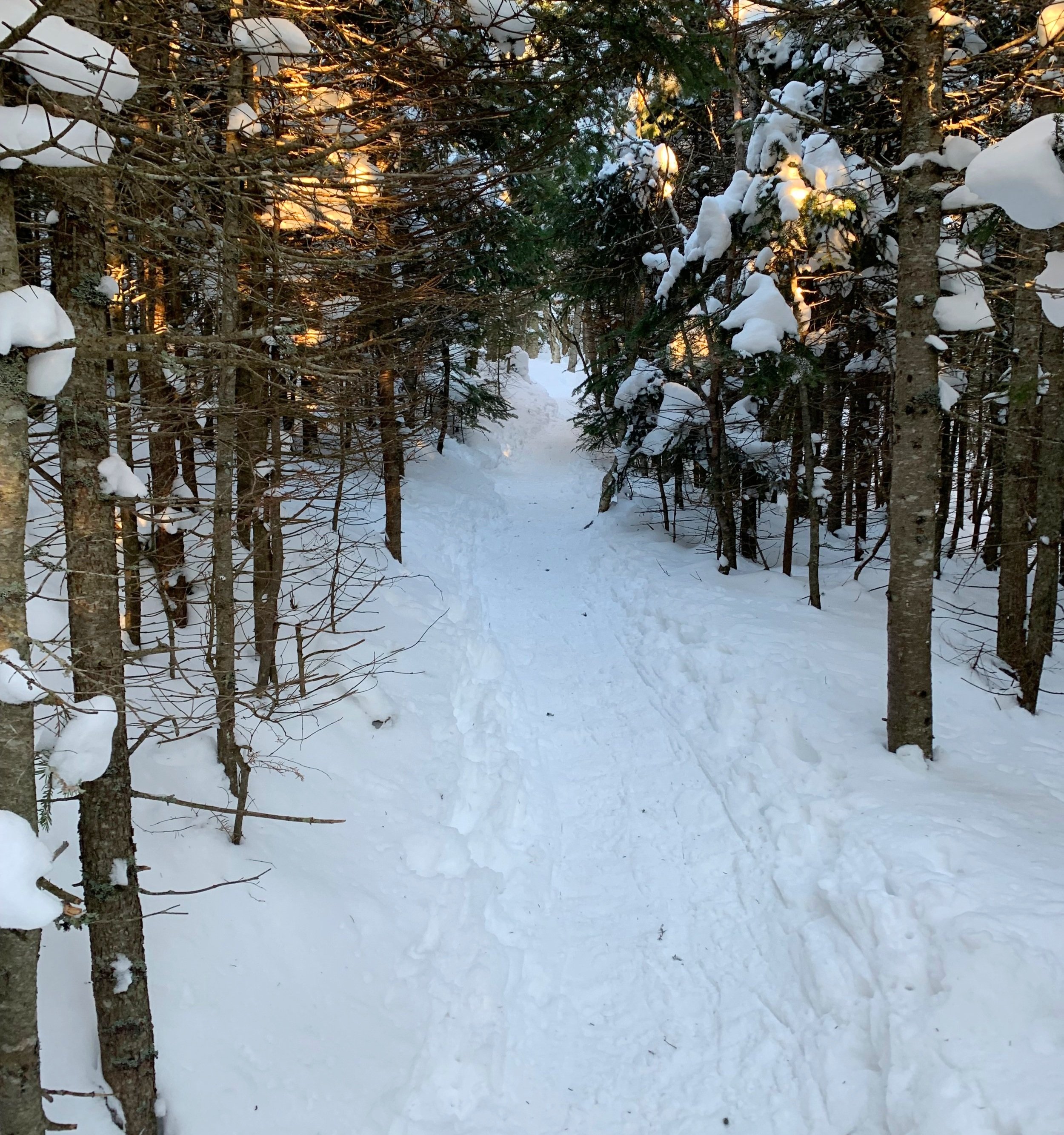
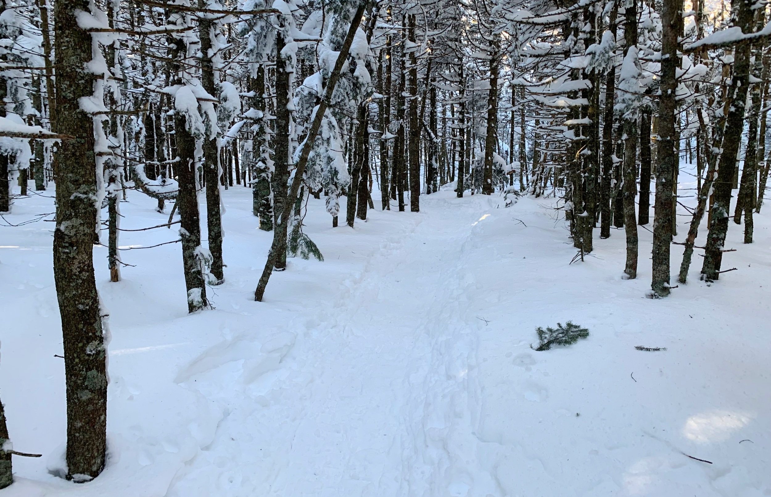
Perfect snowshoe track through the conifers
In a few paces the Wilmington Trail (from Wilmington Reservoir) and Marble Mountain Trails merge, continuing along the northeast-facing ridgeline.
In warmer months this section climbs over ledgy, open rock slabs and can be wet underfoot, today it was more packed snowshoe trail made narrower by previous butt-sledders. All along the ascent are spots to catch ones breath, pause and look out, Vermont’s Green Mountains were coming into view as the ball of sun began rising above the horizon line, illuminating all around with a beautiful rose-colored alpine glow.
From the open hardwood canopy of primarily birch, beech and striped maple along the Marble Mountain T-bar Trail, we had begun walking into more of a lower boreal forest, with spruce and fir becoming the predominant species along the ridge.

Trail markers guiding the way
Occasionally, we could find red DEC trail markers; generally, in most locales, trail markers simply designate the various paths while, originally, in the Adirondacks the trail blazers intended the blue markers to be used on North-South trails, red discs for East-West facing trails and yellow markers for diagonal or connecting trails; with so many trail closures and reroutes over the years, this general rule may not accurately apply any longer.
At 2.1-miles into our snowshoe hike, the junction for the Esther Mountain herd path is reached. We could see the top rocks of a cairn which sat mid-trail, generally this cairn is much higher but our 4-5’ snowpack hid fine trail details well.

Whiteface Mtn framed by the forest
We decided to head up to our high point, Whiteface Mountain first. When I had come through in October 2015, trail crews were out setting rocks on a very soggy trail which lay between the junction and ski trail crossings, given the snowpack we were smooth sailing, high above the wet and rocky surface of the trail.
All during the trek over toward the ski lifts our objective was framed beautifully in rime encrusted conifers, it looked so close but its rocky summit lay ~1mi away.
4000’ fir forest
Beyond ~4,000’ lay a gorgeous forest comprised of thin fir all spackled with fresh, heavy snow; occasional outlooks toward the northwest reminded us of the early morning blue skies which await our summit arrival.
Once breaking out of the scrubby tree line we followed crampon spike marks in the rime-coated mountainside, all the while our ultimate destination loomed high above. SUNY also operated the Whiteface Mountain Observatory at 4,867’, the building which looks like a misplaced grain silo.

Approaching the 4,867’ summit of Whiteface Mountain
Reaching the exposed summit we made a dash for cover to rehydrate and grab snacks and warm layers. The Great Range with white-capped Mt Marcy (5,344’) and Algonquin Peaks (5,115’) appeared eons away; slides streaked many of the steep slopes, creating features which I could recognize easily.
We considered making a loop - continuing along the hiker path (Wilmington Trail) to reach the peak and descending by way of the snowed over Whiteface Mountain Veterans Memorial Highway, but after several minutes in frigid winds atop the bare summit, we opted for the more direct route down the hiker path from whence we ascended.

Towering over Lake Placid
Snowshoe spikes dug into the solid wind-driven crust, aided by the steep grade, descending became quick as we raced the head-on winds. Within minutes we were back at the junction for Esther Mountain for the 1.0-mile out-and-back.
The path out to this 4,239’ summit is technically “unmarked” and “unmaintained”, but even without a broken down snowshoe path, the herd path out to the peak is well worn from years of traffic and branches have been snapped, creating a corridor through patches of otherwise tight spruce and fir.

Esther Mountain junction
Roughly 0.2-miles into the spur path brings hikers to a very short northern path for an open view out to the next destination, Esther Mountain with some interesting bands of ledgy rocks just below its summit cone.
Cresting over the 4,085’ broad summit of Lookout Mountain, the trail quickly descends and arcs from its westerly route toward the north, aiming straight at the 4000-footer and bringing hikers through a short blowdown patch featuring several conifers leaning over the narrow path.

Esther Mountain from Lookout Mountain
Continuing through a tight spruce and fir corridor, the herd path slowly ascends before leveling off at the summit; two other short paths continue in varying directions, the one toward the right, I thought, may have either been aiming for a lookout or swinging around to meet a true summit.
The summit of Esther Mountain features a bronze-colored metal plaque which was placed in 1939 by the Adirondack 46ers for whom the mountain was named. Esther McComb, a 15-year old Wilmington resident who attempted to summit Whiteface Mountain by its northern approach, ended up erroneously summiting this mountain instead, making the first recorded ascent of Esther Mountain.
Unfortunately, the plaque was under several feet of packed snow when we arrived to its high point but I had the privilege to stand next to it on my 2015 ascent.

Hurricane damage enroute to Esther Mtn
The trek back was bittersweet, I truly enjoyed this hike out to Esther Mountain as I describe it similarly as “one of my recent bushwhacks, with a trail”, not wanting this beautiful and remote path to end, I could keep walking all day, half in evergreen, half in sunshine.
We passed many hikers on the quick hike out, all in bare boots and only several in spikes, which surprised us as the snow was beginning to become soft in the late-morning sun. What had been a slog of climbing on the journey to the summits was now a fast shuffle down, even breaking off to the side of the trails occasionally to dip snowshoes into the deep powder and glissade down slope.
Back at the car we dropped packs, took off snowshoes, sipped some tea and immediately began making plans for Spring and Summer - to when we can go back to our tiny home getaway and continue hiking these peaks. While the White Mountains are now our home, it’s truly a blessing to get to share some of my favorite places with Alanna and make new Adirondack memories together.
Overall stats for the day:
9.65-miles
6hr 29 minutes
4,551’ elevation gain
Mount Whiteface - 4,865’
Mount Esther - 4,239’

Esther McComb plaque from October 31st, 2015 ascent