
West + Middle Osceola Mtns
Not long after moving to New Hampshire and checking off 4000-footers in my new home state I fumbled over a list that not too many folks I knew seemed to be working on; perhaps a well kept secret amongst a tight-knit community of hikers, I thought.
The Trailwright 72; 72 lesser visited peaks around the White Mountains, some with trails and others without. I was excited to visit new (to me) peaks and continue checking off places I had visited; it formed a trail of forward progress in my mind, while also helping to solidify my confidence in reading topographic maps, to mentally visualize the landscape contours a little easier, and of course I was diving knee-deep into not only spruce, but how to use and operate a compass - I loved my new hobby!

Off trail and into the woods
The list took me to “off the beaten path” summits of the Presidential Range, exploring nooks and crannies of my local Moosilauke, and to various other sub-peaks that friends I knew at the time just weren’t seeking out.
Then I fully read the rules of the “challenge” and saw that each peak must be climbed individually, as its own destination. Perhaps someday I’ll go back and abide by their rules and hike them all separately, but for now, I enjoy hiking and climbing by my own rules.
Of the 71 peaks on this list that I have summited, West Osceola holds the 57th highest position at 4,114’, while Middle Osceola sits at #51, its summit at 4,200’. Both peaks are trailless, so it is up to the climber to decide which approach makes the most sense for them.

Soft paths along West Osceola
I may have been shooting for an out-and-back when I first got the idea to bushwhack these peaks but ended up continuing the southeasterly trajectory and picking up the Mount Osceola Trail for the descent.
Beginning at the East Pond Trailhead on the seasonal Tripoli Road, I departed northerly down the East Pond Trail. Crossing East Pond Brook, I soon came upon a boisterous fishing scene at the edge of a very scenic East Pond.
Continuing down the old logging roads, I planned to begin bushwhacking from the height-of-land (between Scar Ridge and the Osceola’s), before the trail drifts downward toward the Kancamagus Highway. I was able to take only several steps off trail toward the east when I heard a couple of voices trekking along the East Pond Trail which I just departed, they were quickly coming my way.
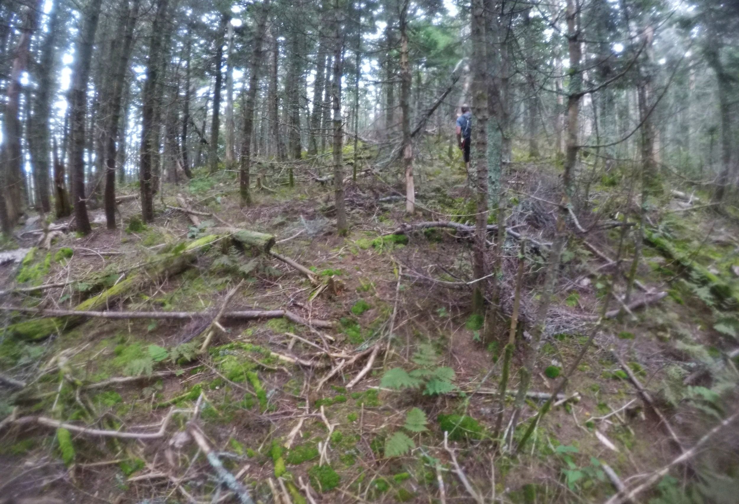
Nearing the top of the climb
Exchanging late-morning greetings, the couple stated that they were also here to bushwhack West Osceola and that the man had ‘whacked this route ~20 years earlier, what perfect timing!
The forest wore a carpet of moss; old decaying blowdown from ages ago quietly becoming recycled into new life. The floor of the forest was littered with conifer needles and thin twigs. The ascending was initially quick and easy despite the telephone pole-sized fir logs strewn at varying angles, most could be stepped over.
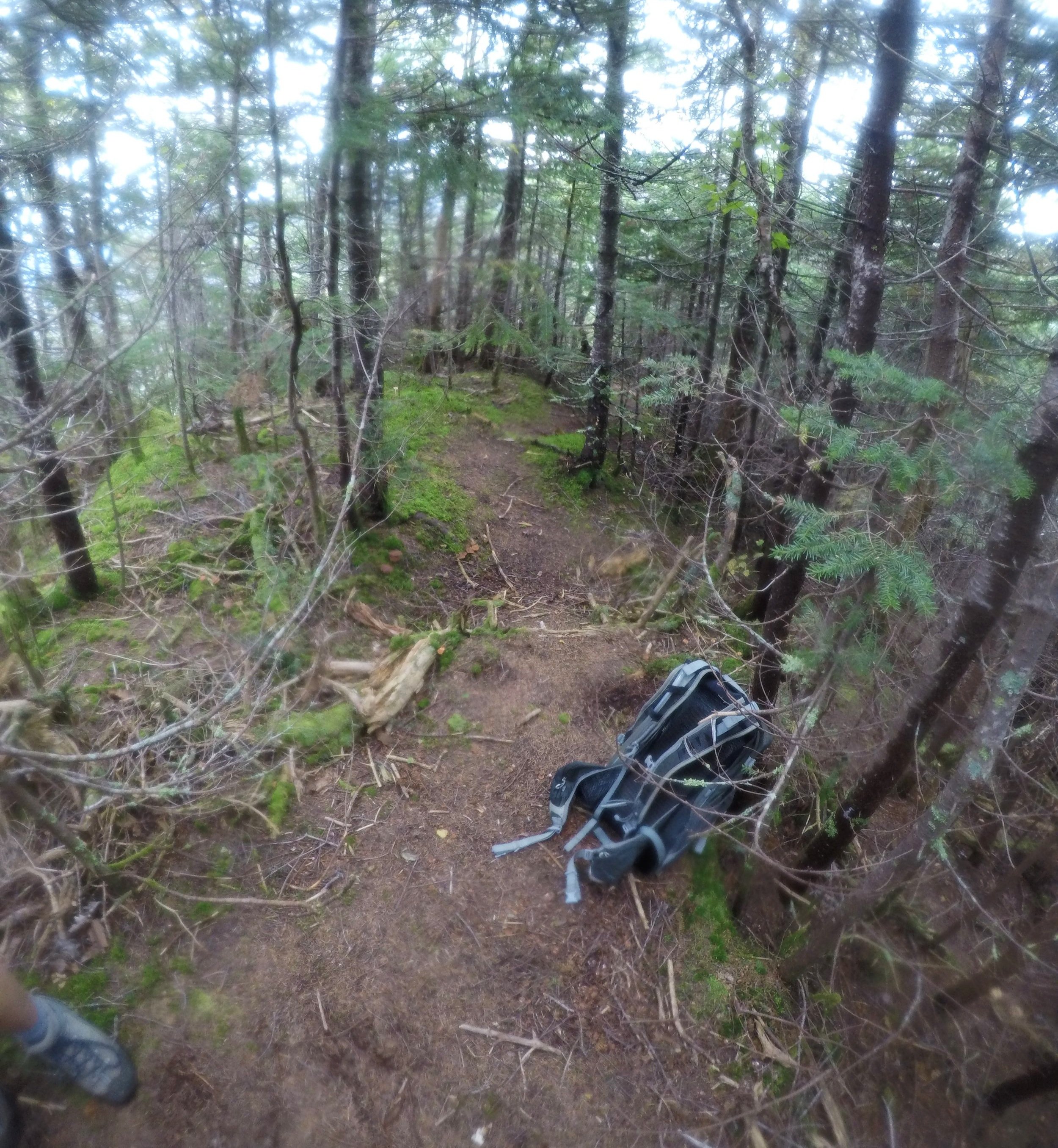
Herd path leading toward Middle Osceola
While gaining elevation on the shoulder of West Osceola, we could constantly see the ridgeline drop away to our sides, clearly showing the uphill direction in which we should continue. Hitting occasional patches of ferns mixed with equally low, young balsam trees, we continued climbing through mostly open conifer woods.
As the slope tapered off the summit register was located. Tucked in a patch of fir at the high point, a small brown glass bottle was hung by a cord from the original PVC canister bracket. We all logged our ascent and snapped some successful summit photos before trekking down a lightly worn herd path toward our next destination along the ridge - Middle Osceola.
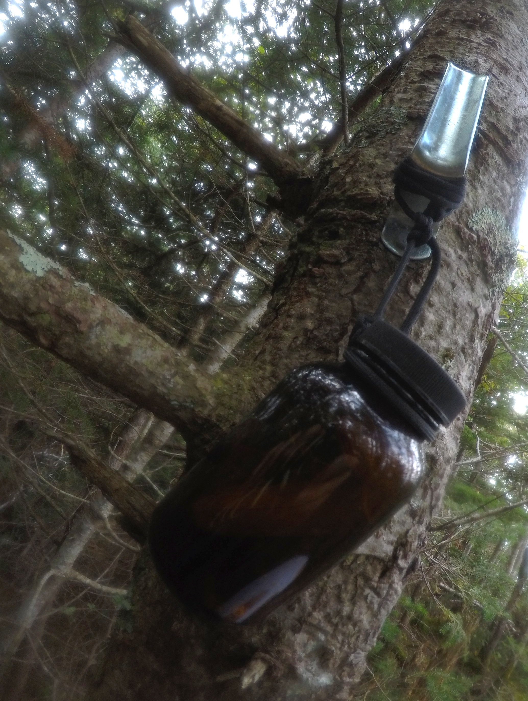
Summit register atop West Osceola
Not far off the West Osceola summit we came to a narrow band of ledges offering a lovely view of Middle Osceola’s forested dome, Mount Osceola’s bare northern shoulder with a bit of the East peak sticking up even further behind. The views did not end there, a beautiful panorama awaits anyone who adventures out to Peggy’s Perch on a clear day.
The lack of photos that I came home with of Middle Osceola and the surrounding terrain describes the sameness of the spruce and fir canopy and moss-covered blow down; truly a beautiful area to explore, however.
From Middle Osceola we began following meager traces of herd path which eventually met up with the Mount Osceola Trail at its final switchback before making the 0.2-mile straight shot toward its 4,320’ summit - I had always looked at that entry into the forest with an inquisitive eye, thinking it looked as if that faint path led somewhere; now I know - it does.

A pack of Osceola’s from the West peak
With a trot to my step I began a rock-hopping trail run down the final 3.0-miles of the Mount Osceola Trail and continued 1.6-miles further down the dirt and gravel surfaced Tripoli Road.
So fortunate to have met new bushwhacking friends and perhaps some day I’ll bump into them again - maybe I’ll even get around to climbing that one final Trailwright 72 peak - just so I can tell myself that I’ve stood atop them all!
(*photos were regretfully taken with a very sweaty GoPro5)
Overall stats for the day:
8.7-miles
3hr 56 minutes
2,792’ elevation gain