
VT 3500-Footers
While the Green Mountains of Vermont are home to only five peaks which top 4,000-feet, there are at least 23 other great climbs which top out just below this iconic northeast elevation; many of these summits can be found on or adjacent to the 278-mile Long Trail of Vermont, while several other peaks require a bit more logistical prowess to access and scale. In the ensuing list, I have included some of my favorite routes in which to access these often less sought out mountains.
Several of the peaks listed can also be found on other classic regional climbing lists, such as the AMC Northeast Hundred Highest. Also of note, elevations are appropriated from peakbagger.com, which are updated often, but may differ slightly from other sources - elevations listed here are for comparative reference only. Likewise, mileage and elevation gain given here may differ slightly from what your smart device may track; the elevation and distances listed below are believed to be close, but should be considered an estimate of what to expect.
As many of these descriptions are primarily navigational cues, it may be advisable to follow along on a digital map (GAIA GPS, All Trails, or Cal Topo work well) when planning a hike, but also pack a good quality, waterproof map for reference while in the mountains. Always remember to download digital maps ahead of time, but also do expect cell phone service to be unreliable in the mountains.
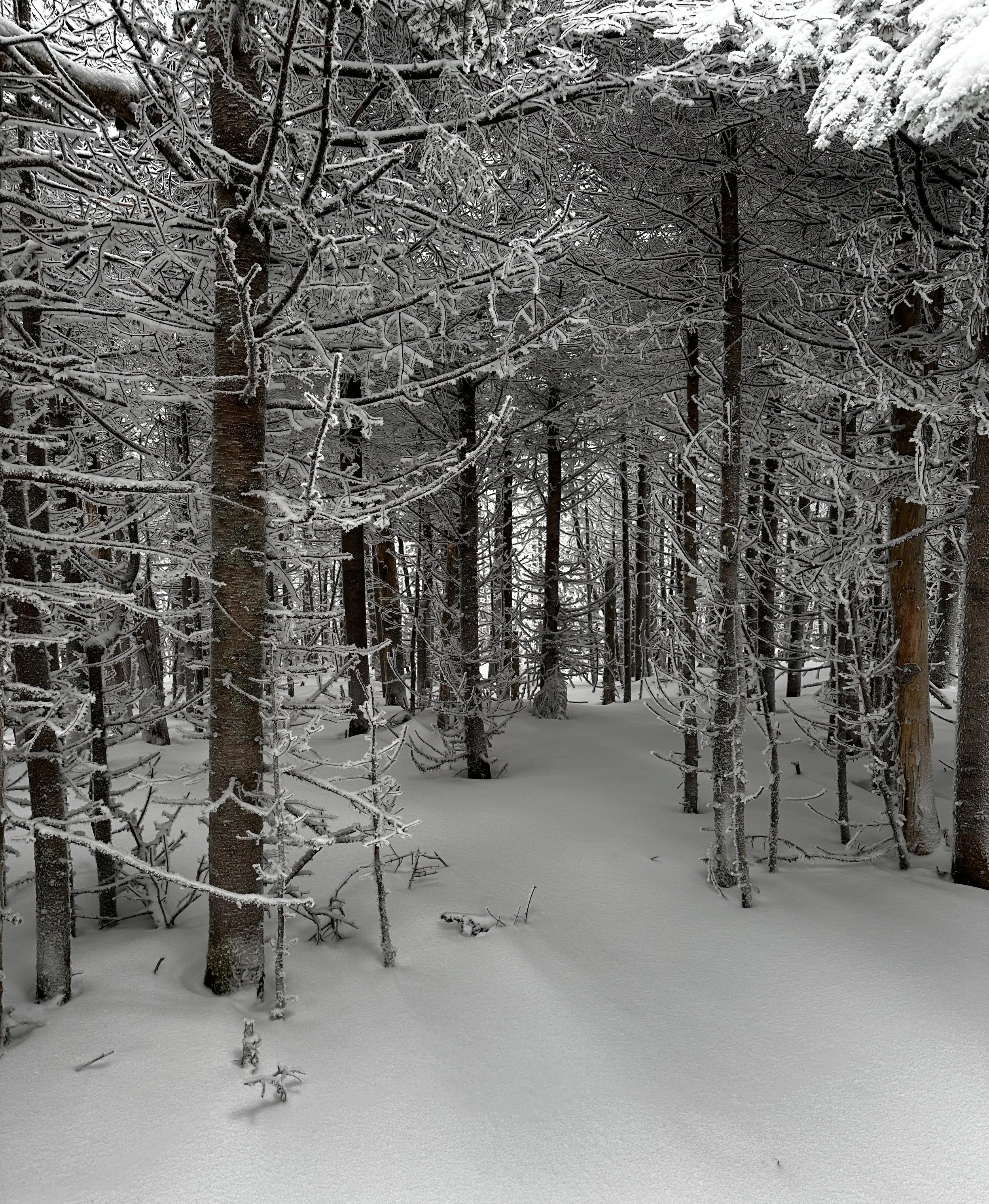
By observing the time of year some of the following photographs were taken, it is no secret that I truly enjoy throwing on some snowshoes, packing extra layers and gear to adventure in the winter seasons just as much as throwing on a pair of grippy trail runners, shorts and a smaller running pack in warmer seasons; winter hiking certainly has its pro’s (like no bugs and fewer others on the trails…solitude), but care should be taken to let friends know where you’re going, use trailhead registers (VT + NY) so potential rescuers know where to look, consider (possibly frozen) water sources, and be aware that winter has much less daylight to offer (always carry the 10-Essentials for hiking and any additional personal items you may need along your trek).
By suggesting any off-trail routes below, I am in no way suggesting any ill-prepared or unexperienced hikers attempt to follow my routes, these are just ideas in which to trek from parking area to summit - know your own limitations when it comes to off-trail trekking and navigation.
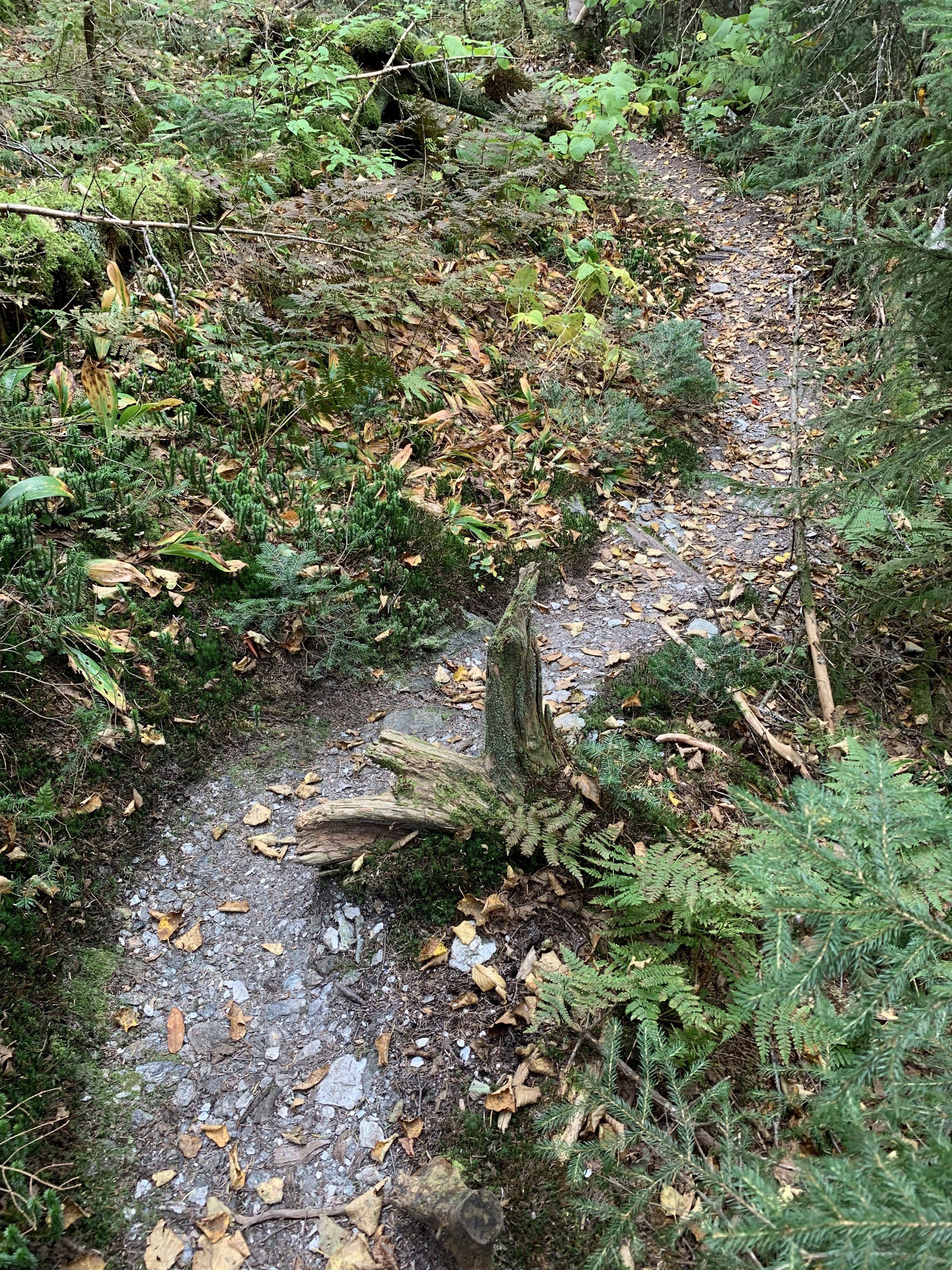
Long Trail foot bed in autumn
Pico Peak - 3,953ft (NEHH)
- via Sherburne Pass / US Route 4
2.3mi / 1,325ft gain along the Sherburne Pass Trail (AT/LT south) to Pico Link
2.7mi / 1,820ft gain along Pico Link to summit
Total out-and-back trek: 5.4-miles with 1,820ft elevation gain
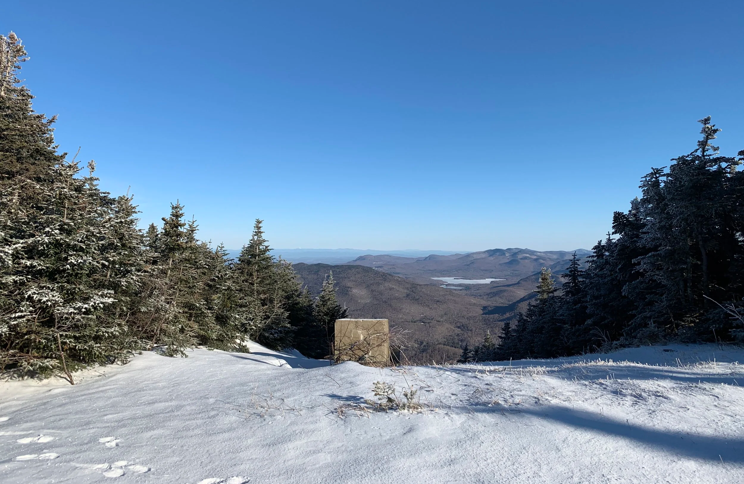
View from Pico Peak
Stratton Mountain - 3,943ft (NEHH)
features a fire/lookout tower at summit
- via Forest Road 21A / Stratton-Arlington Rd
3.5mi / 1,745ft gain to summit area via AT/LT (northbound)
Total out-and-back trek: 6.9mi / 1,745ft elevation gain
- Optional loop: descend northbound along AT/LT to Stratton Pond
depart Stratton Pond via Stratton Pond Trail southbound
necessitates 1.1-mile roadwalk along FR21A to originating trailhead
Total loop trek: 11.0mi / 2,230ft elevation gain
View from Stratton Mtn fire tower
Equinox Mountain - 3,838ft (NEHH)
highest peak in the Taconic Mountains
- Trailhead parking just beyond Burr & Burton Academy (West Union St)
0.8mi / 500ft gain on Blue Summit Trail to spring/Maidenhair Trail jct
2.65mi / 2,810ft gain to Lookout Rock jct
2.8mi / 2,875ft gain to summit structure
Total out-and-back trek: 5.5mi / 2,875ft elevation gain
- option: Lookout Rock (3,672ft) add-on
0.7mi / 140ft elevation gain (out-and-back)
Sunrise from Lookout Rock - enroute to Equinox Mtn summit
Mendon Peak - 3,832ft (NEHH)
- via Brewers Corners / Bucklin Trailhead
1.2mi / 350ft gain S/SE past gate on old woods road
2.8mi / 1,025ft gain contour Eddy Brook -> begin switchbacks
4.0mi / 2,110ft gain to eastward-facing outlook on summit
4.1mi / 2,165ft gain to summit
Total out-and-back trek: 8.0mi / 2,170ft elevation gain
- optional loop trek:
bushwhack eastwardly off summit into Mendon-Little Killington col
stay north of Little Killington Mountain
head northbound on LT for 0.8mi to Cooper Lodge
3.4mi / 2,120ft descent of Bucklin Trail to Bucklin trailhead
Total loop trek: 10.0mi / 2,700ft elevation gain
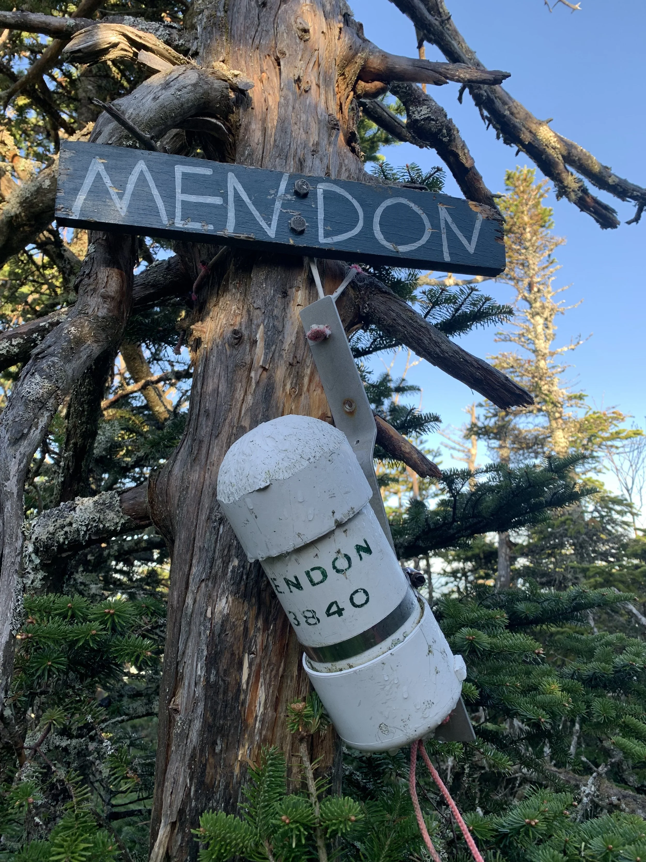
Summit register atop Mendon Peak
Jay Peak - 3,858ft (NEHH) + Big Jay - 3,779ft (NEHH)
- via VT Route 242 / Jay Peak Pass
1.6mi / 1,580ft gain to Jay Peak summit
follow LT northbound 0.25mi to Big Jay herd path (behind sign/fence)
0.95mi / 390ft gain along ridge to Big Jay summit
Total out-and-back trek: 5.3mi / 2,500ft elevation gain
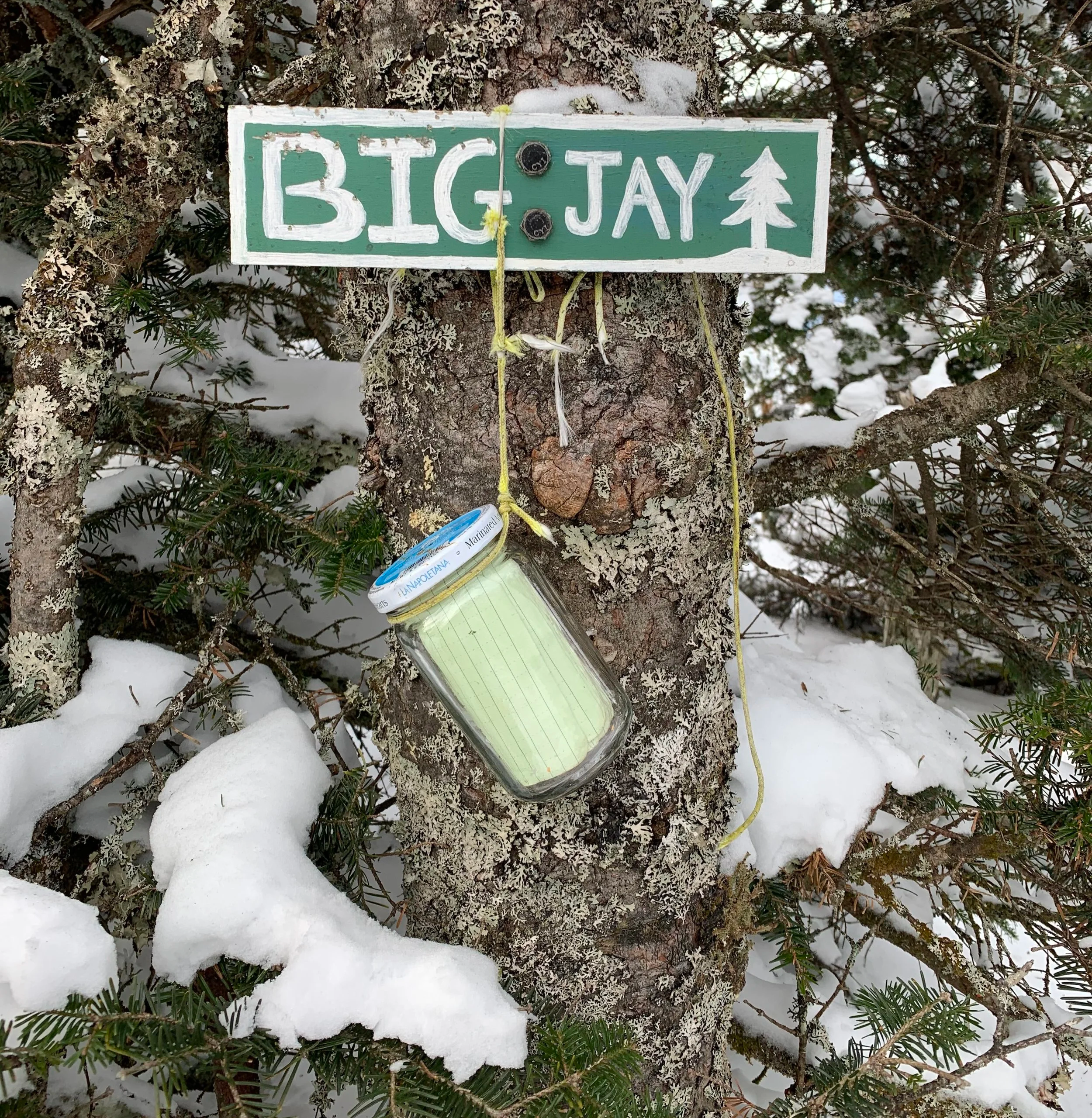
Summit register jar atop Big Jay Mtn
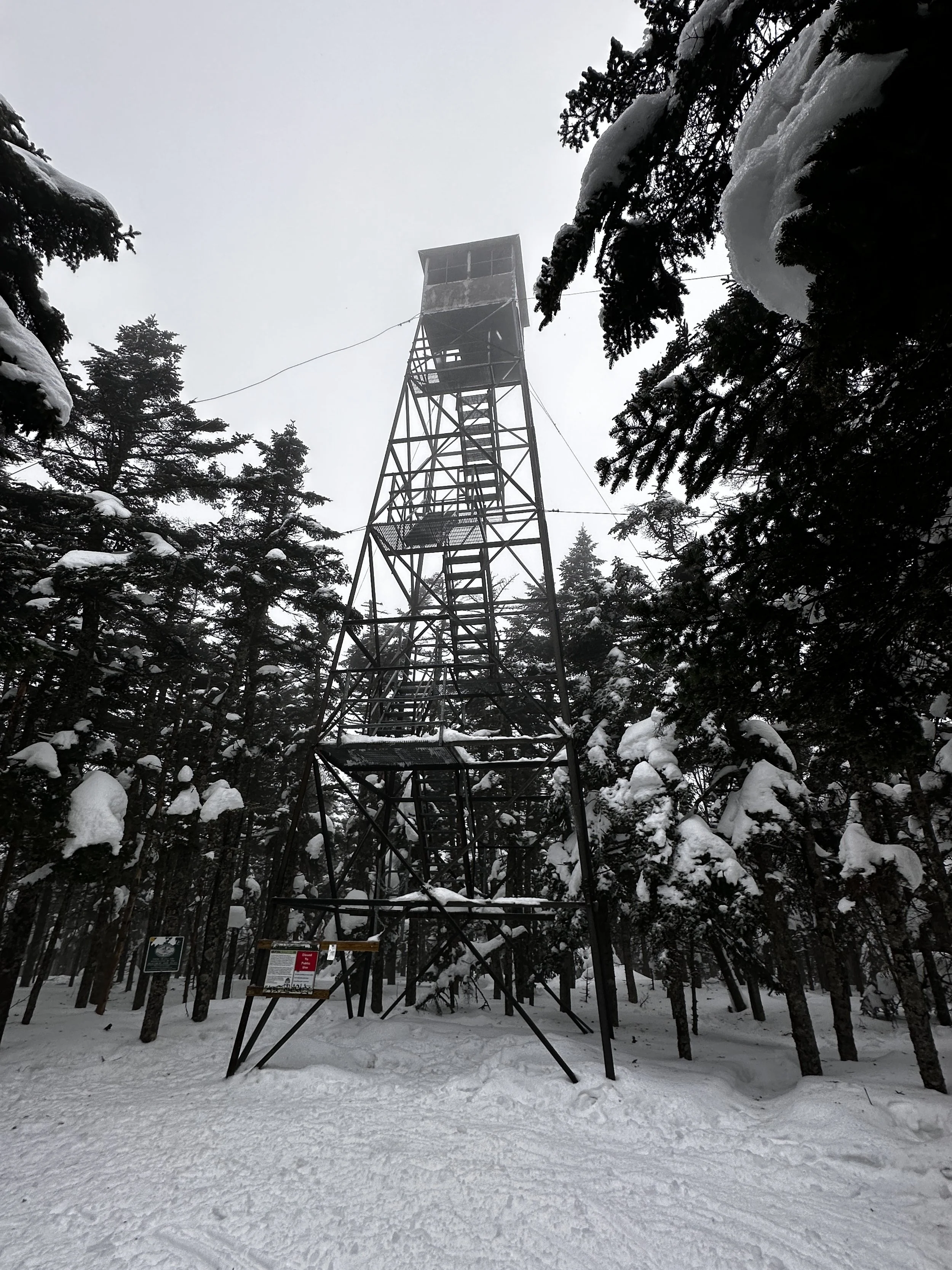
Glastenbury Mountain - 3,751ft
features a fire/lookout tower at summit
- via FR21A (Kelley Stand Rd) - from north
0.6mi / 66ft gain to Story Spring Shelter
5.2mi / 850ft gain to Kid Gore Shelter
8.7mi / 2,240ft gain to summit
Total out-and-back trek: 17.5mi / 3,540ft elevation gain
- via RT9 trailhead at Woodford Hollow
2.0mi / 1,380ft gain to Maple Hill (2,691ft)
5.9mi / 2,540ft gain to Little Pond Mountain (3,318ft)
9.6mi / 3,600ft gain to summit
Total out-and-back trek: 19.2mi / 4,760ft elevation gain
- via Shaftsbury Sno-Pilots VAST snowmobile trails (yield to Right-of-way traffic): Glastenbury Rd to 7A F2 corridor to corridor 71 to corridor 72 (crosses summit)
Total out-and-back trek: 16mi / 2,750ft elevation gain
Shrewsbury Peak - 3,719ft
- via Shrewsbury Peak Trail (from Civilian Conservation Corps Rd)
0.2mi / 190ft gain to Russell Hill (2,540ft)
1.7mi / 1,565ft gain to south peak lookout
1.9mi / 1,600ft gain to main summit
Total out-and-back trek: 3.75mi / 1,780ft elevation gain
- via Black Swamp Trail (from Civilian Conservation Corps Rd)
2.0mi / 1,270ft gain to summit col
2.2mi / 1,320ft gain to main peak
Total out-and-back trek: 4.5mi / 1,350ft elevation gain
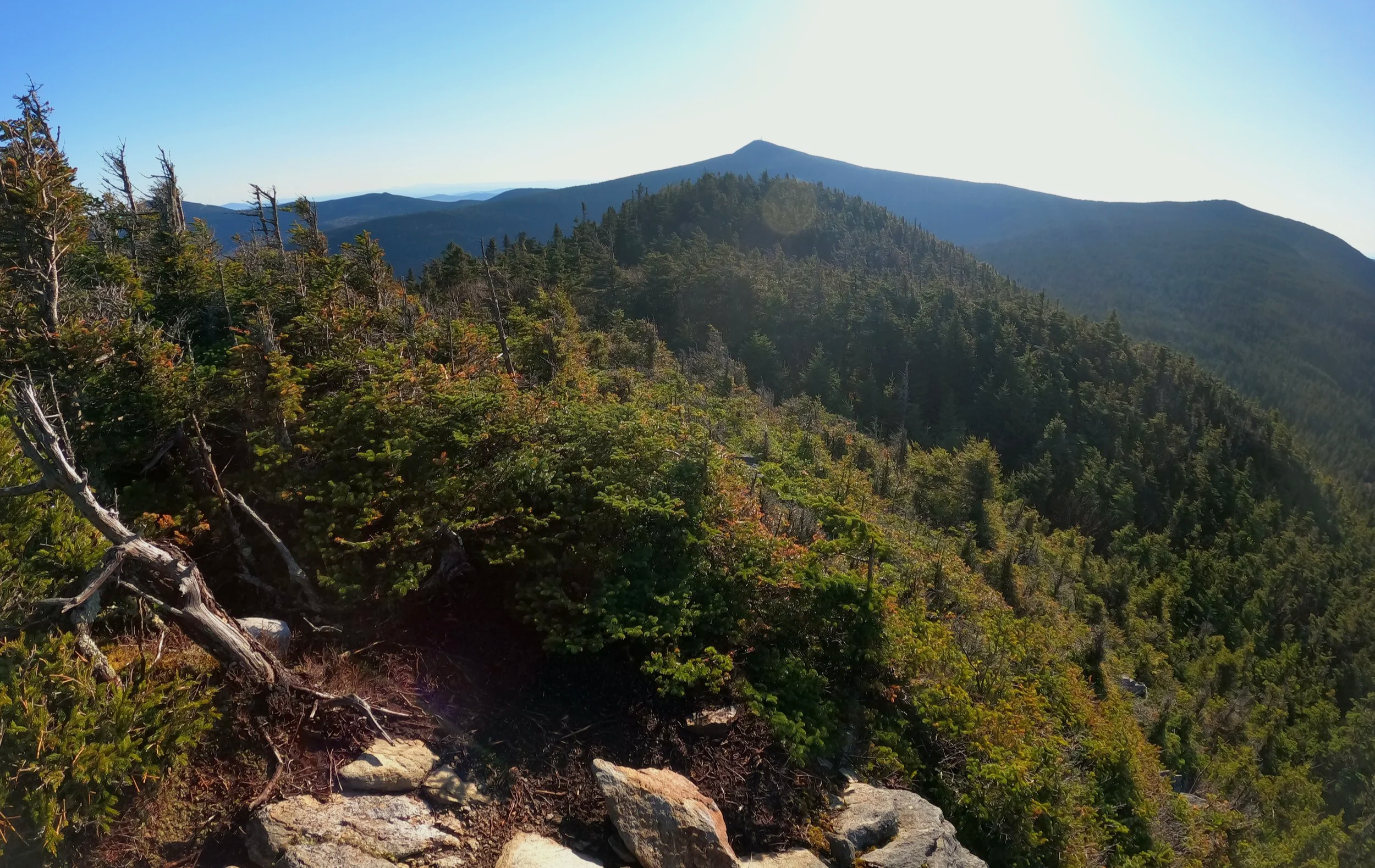
Green Mountains near Shrewsbury Peak
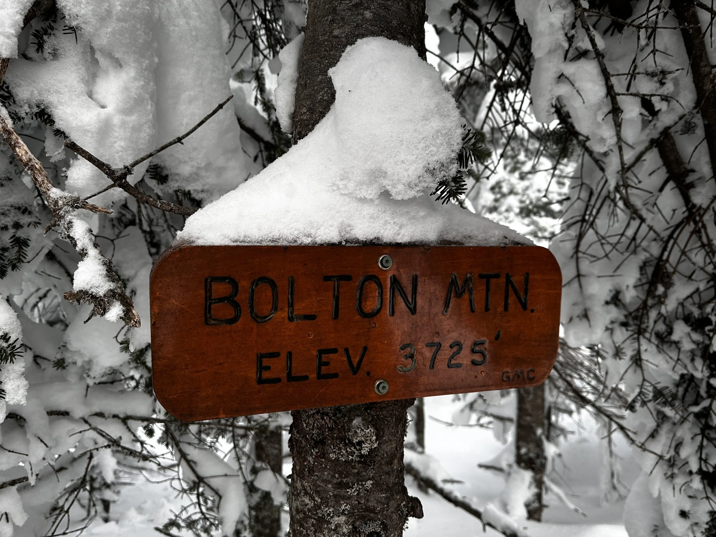
Bolton Mountain - 3,717ft
- via Bolton Valley Ski Resort (requires uphill pass in winter - $20 fee)
Broadway to Brook Run (becomes Georges Gorge)
0.5mi / 20ft gain on Brook Run
1.6mi / 800ft gain take left onto Ravens Wind
2.0mi / 1,100ft gain take right onto LT northbound
2.7mi / 2,000ft to summit (one way)
- via Lake Mansfield Trail @ Lake Mansfield Trout Club
1.6mi / 810ft gain on Lake Mansfield Trail to Taylor Lodge
3.9mi / 2,470ft gain to Mount Mayo summit (3,139ft)
5.0mi / 3,330ft gain to main summit
+0.5mi take left onto Bolton-Trapp Trail
+4.4mi / 2,400ft descent to Nebraska-Valley Rd
Total loop trek: 10.7mi / 3,700ft elevation gain
Ethan Allen Mountain - 3,679ft
- via Monroe Trail @ Camels Hump Road
1.6mi / 1,120ft gain to Dean Trail
2.5mi / 1,670ft gain to LT southbound
2.8mi / 1,750ft gain via Allis Trail (fine alternative to LT south)
3.5mi / 2,560ft gain to Ethan Allen - North Peak
* S Peak: no views (higher summit)
* N Peak: vast lookout eastwardly
Total out-and-back trek: 7.5mi / 2,600ft elevation gain
- southern approach: 2.25mi / 910’ gain along LT northbound
from Burnt Rock Mountain (3,175ft)
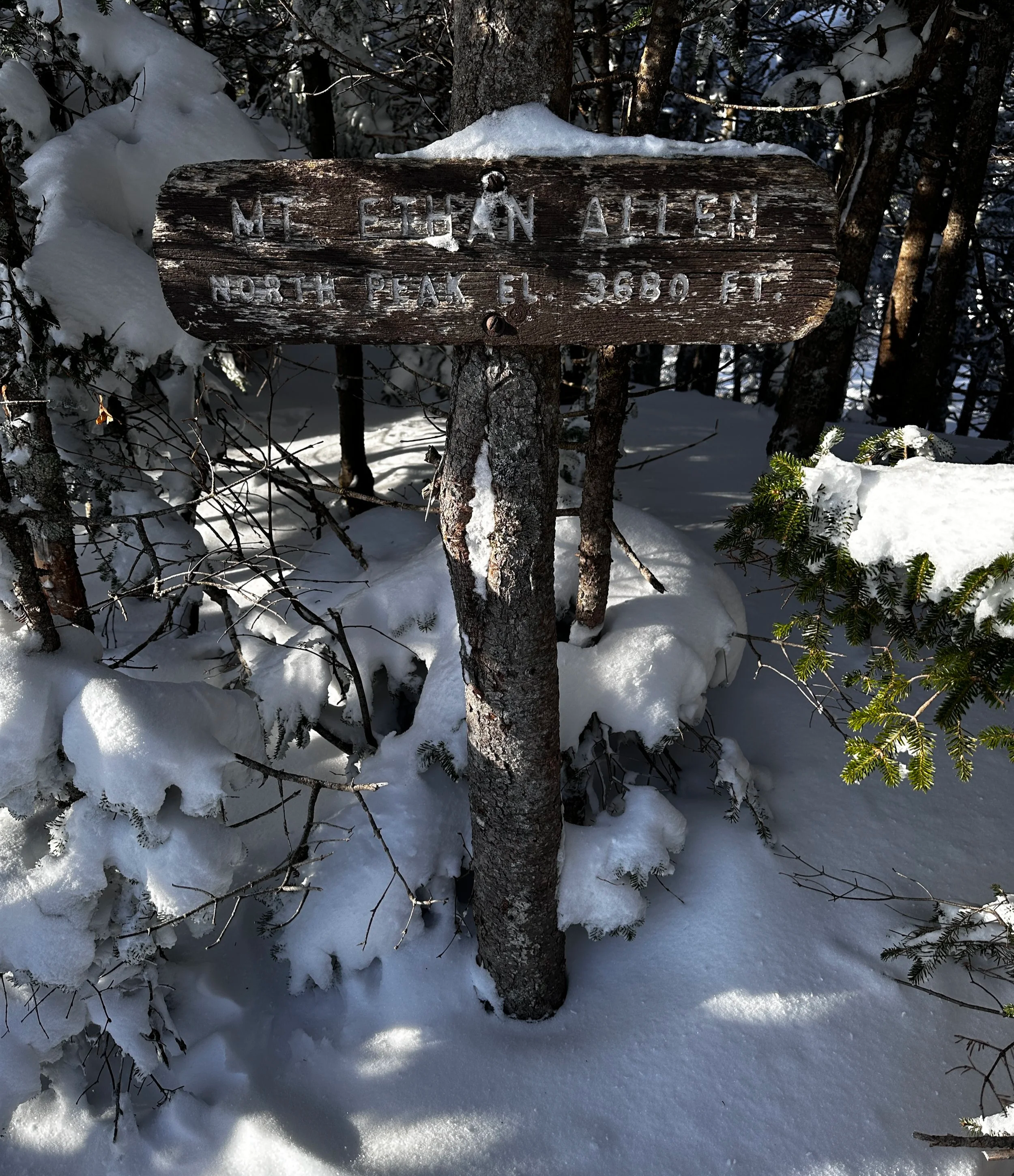
Summit sign atop Ethan Allen Mtn - North Peak
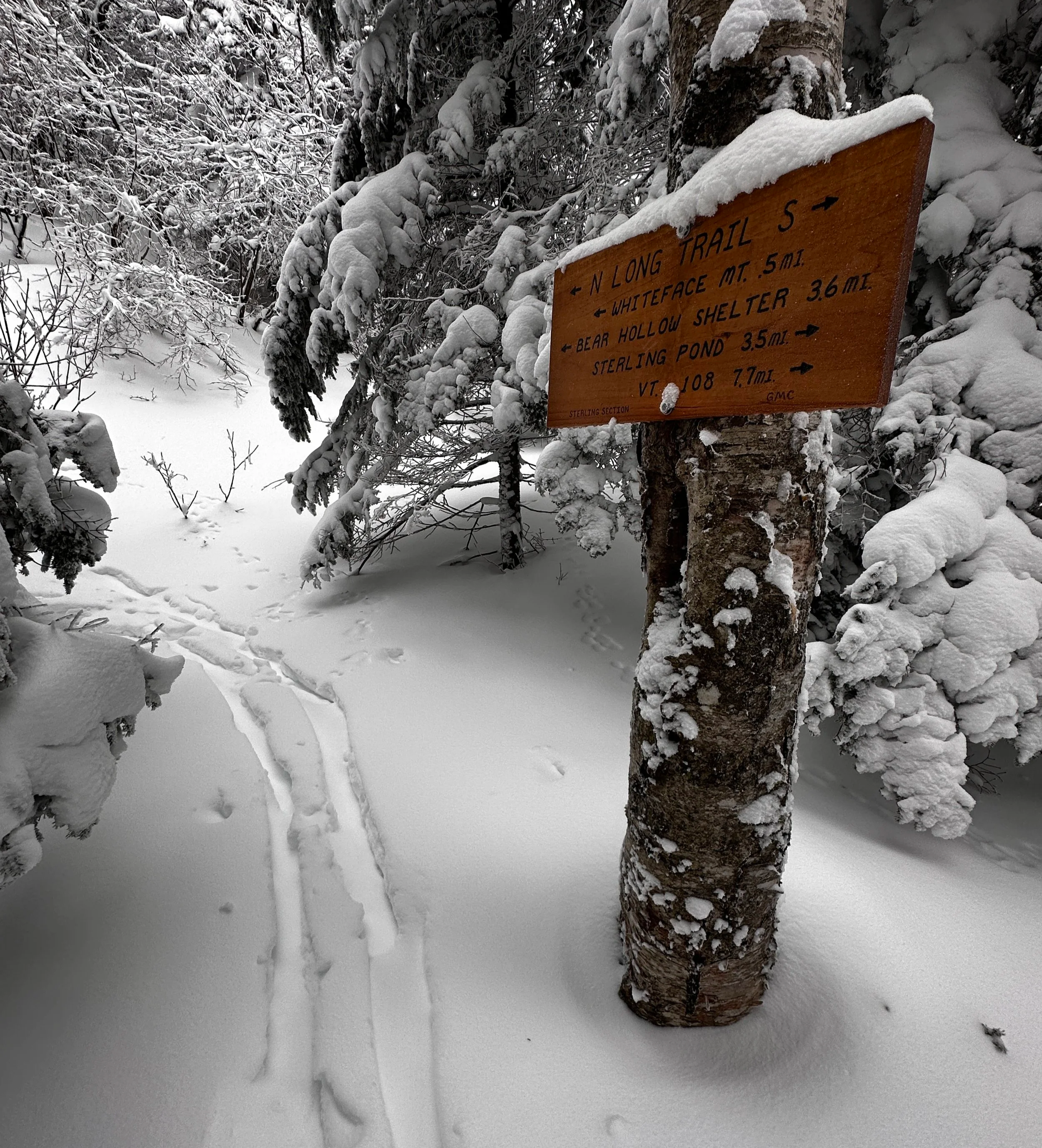
Sterling Mountain - 3,714ft
(formerly Whiteface Mtn)
- via Beaver Meadow Trail
2.5mi / 860’ gain to Whiteface Trail
3.2mi / 1,680ft to Whiteface lean-to
3.6mi / 2,340ft to summit via LT northbound
Total out-and-back trek: 7.2mi / 2,350ft elevation gain
A very snowy Long Trail enroute to Sterling Mtn
Madonna Peak - 3,664ft
- via Barnes Camp Visitor Center
4.5mi / 2,820ft gain on LT northbound
Total out-and-back trek: 9.0mi / 3,170ft elevation gain
- via Beaver Meadow Trail
2.5mi / 830ft gain to Chilcoot Pass Trail
+1.2mi / 1,500ft on Chilcoot Pass Trail to LT southbound
Total out-and-back trek: 7.5mi / 2,350ft elevation gain
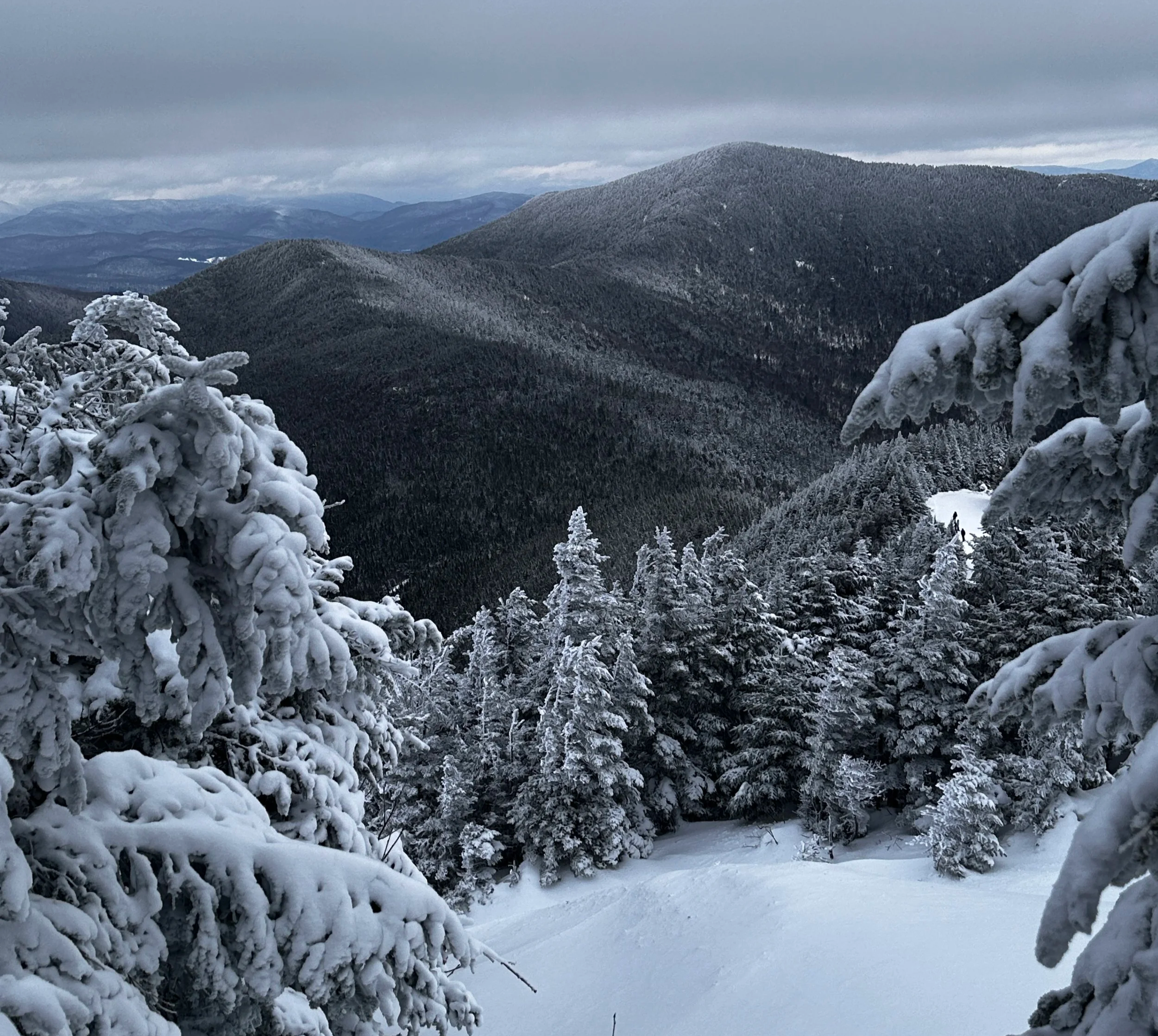
Morse + Sterling Mtns from Madonna Peak
Stark Mountain - 3,658ft
- via Jerusalem Trail
2.2mi / 1,850ft gain to LT northbound
2.6mi / 2,090ft gain to summit
Total out-and-back trek: 5.2mi / 2,090ft
- via Appalachia Gap trailhead
2.6mi / 1,620ft gain via LT southbound to summit
Total out-and-back trek: 5.3mi / 1,860ft gain
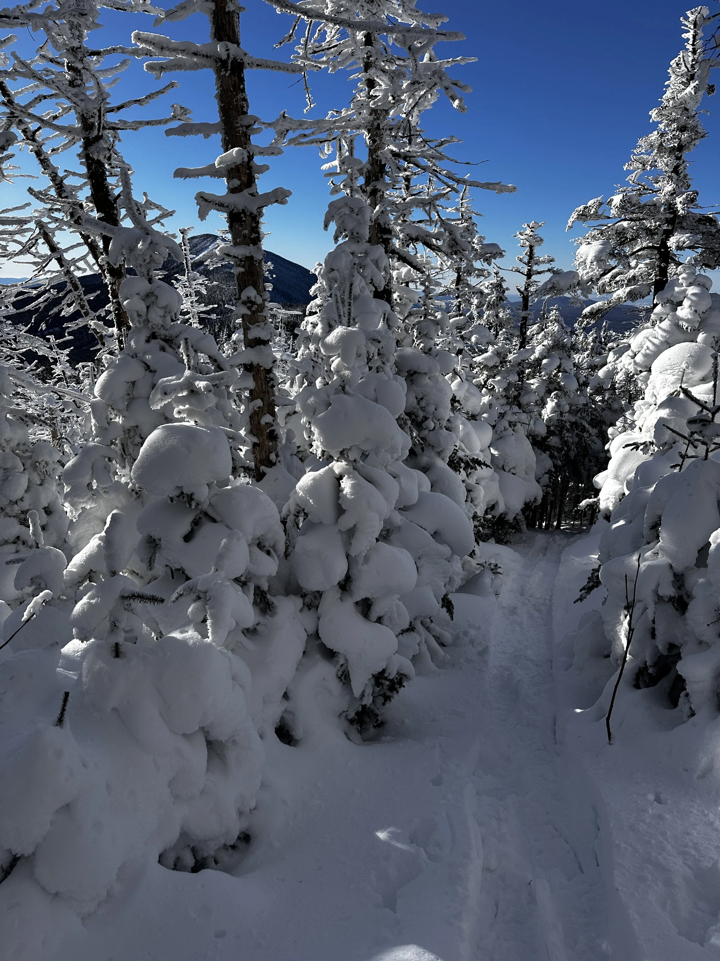
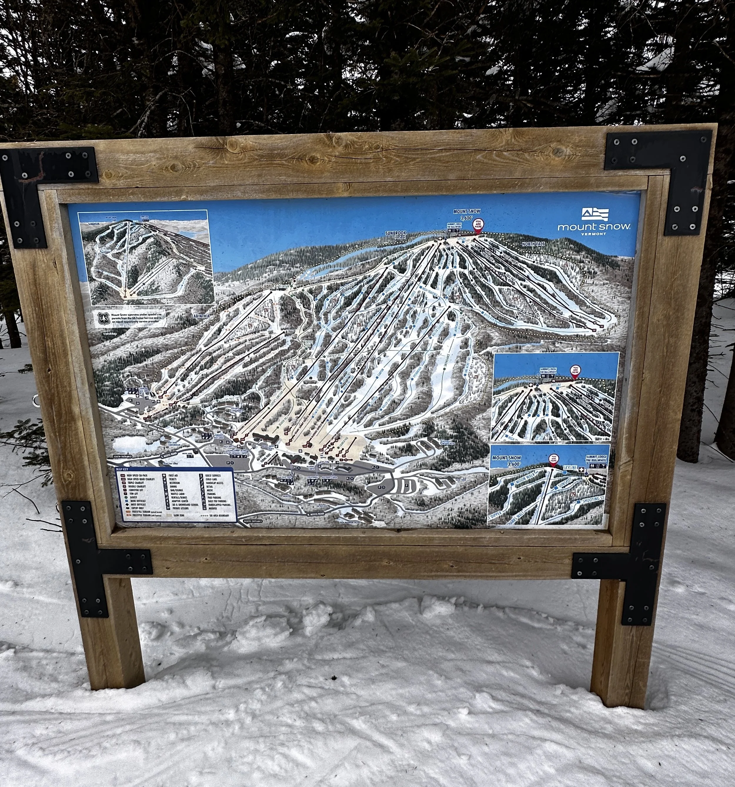
Mount Snow - 3,599ft
(formerly Mount Pisgah)
- via Haystack Mountain Trail
1.8mi / 890ft gain to Haystack Mtn junction
5.6mi / 1,840ft gain along Deerfield Ridge Trail to summit
+0.3mi / 230ft gain to Haystack Mountain lookout (3,455ft)
Total out-and-back trek (just Mt Snow): 11.2mi / 2,500ft elevation gain
Total out-and-back trek (Snow + Haystack): 11.75mi / 2,730ft gain
Bread Loaf Mountain - 3,827ft (NEHH)
Mount Wilson - 3,767ft (NEHH)
Mount Grant - 3,622ft
Mount Roosevelt - 3,530ft
(unofficial VT Presi Loop)
- via Forest Road 54 to Cooley Glen-Emily Proctor Trailhead
3.3mi / 1,920ft to Long Trail
+0.65mi /370ft gain to Bread Loaf Mtn (one way) via LT southbound
- from Emily Proctor Trail jct via LT northbound:
0.5mi / 315ft gain to Mount Wilson
1.8mi / 590ft gain to Mount Roosevelt
3.1mi / 900ft gain to Little Hans Peak
4.7mi / 1,440ft gain to Mount Cleveland
5.25mi from Emily Proctor Trail to Cooley Glen Trail
+0.9mi / 550ft gain to Mount Grant
3.1mi / 1,500ft descent along Cooley Glen Trail
Total loop trek: 14.7mi / 4,285ft elevation gain
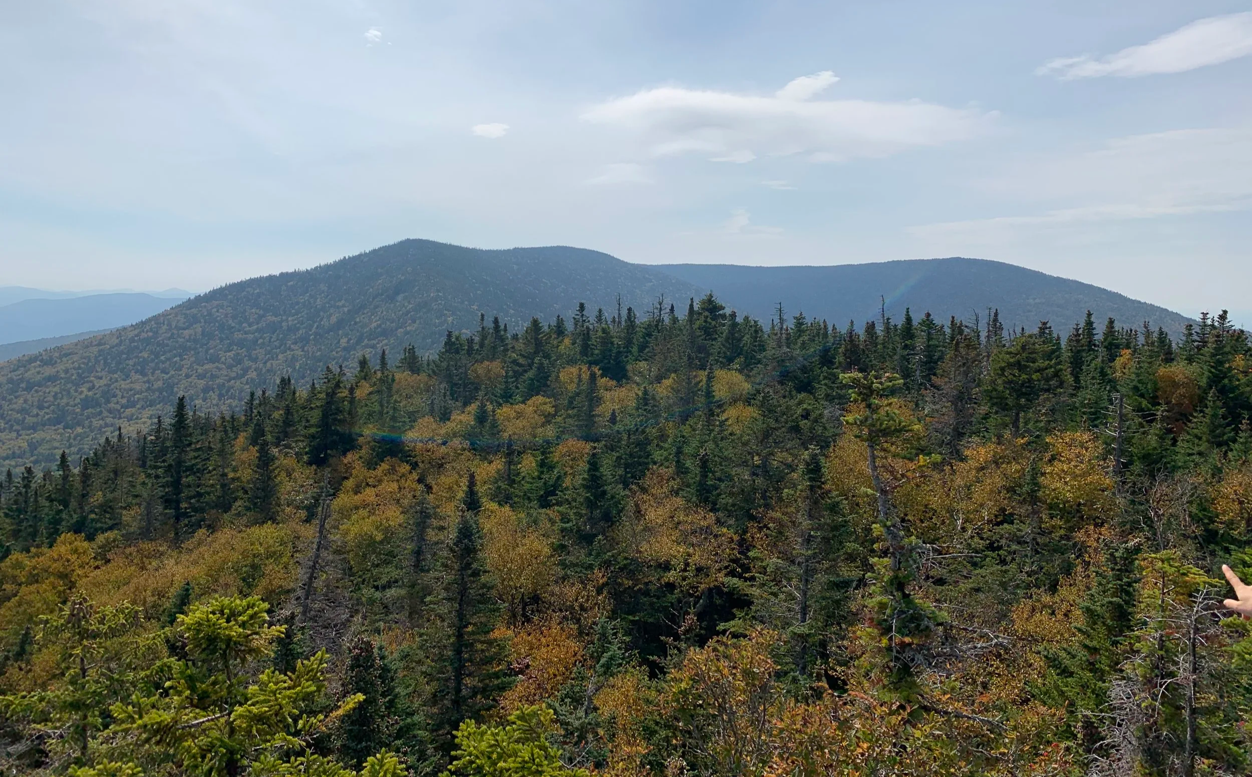
Mountain views - possibly from Little Hans Peak
North Hunger Mountain - 3,577ft + Mount Putnam - 3,628ft
located in CC Putnam State Forest
- via Waterbury Trail
1.85mi / 2,320ft gain to Skyline Trail
- via Skyline Trail northbound
0.5mi / 120ft to N Hunger Mtn summit
1.9mi / 500ft to Mount Putnam summit
bear left onto Hogback Trail for 0.3mi
bear left off Hogback Trail for path which skirts Thatcher Brook
2.8mi / 2,040ft descent to Waterworks Rd (becomes Sweet Rd)
+0.7mi roadwalk back to trailhead
Total loop trek: 7.0mi / 2,900ft
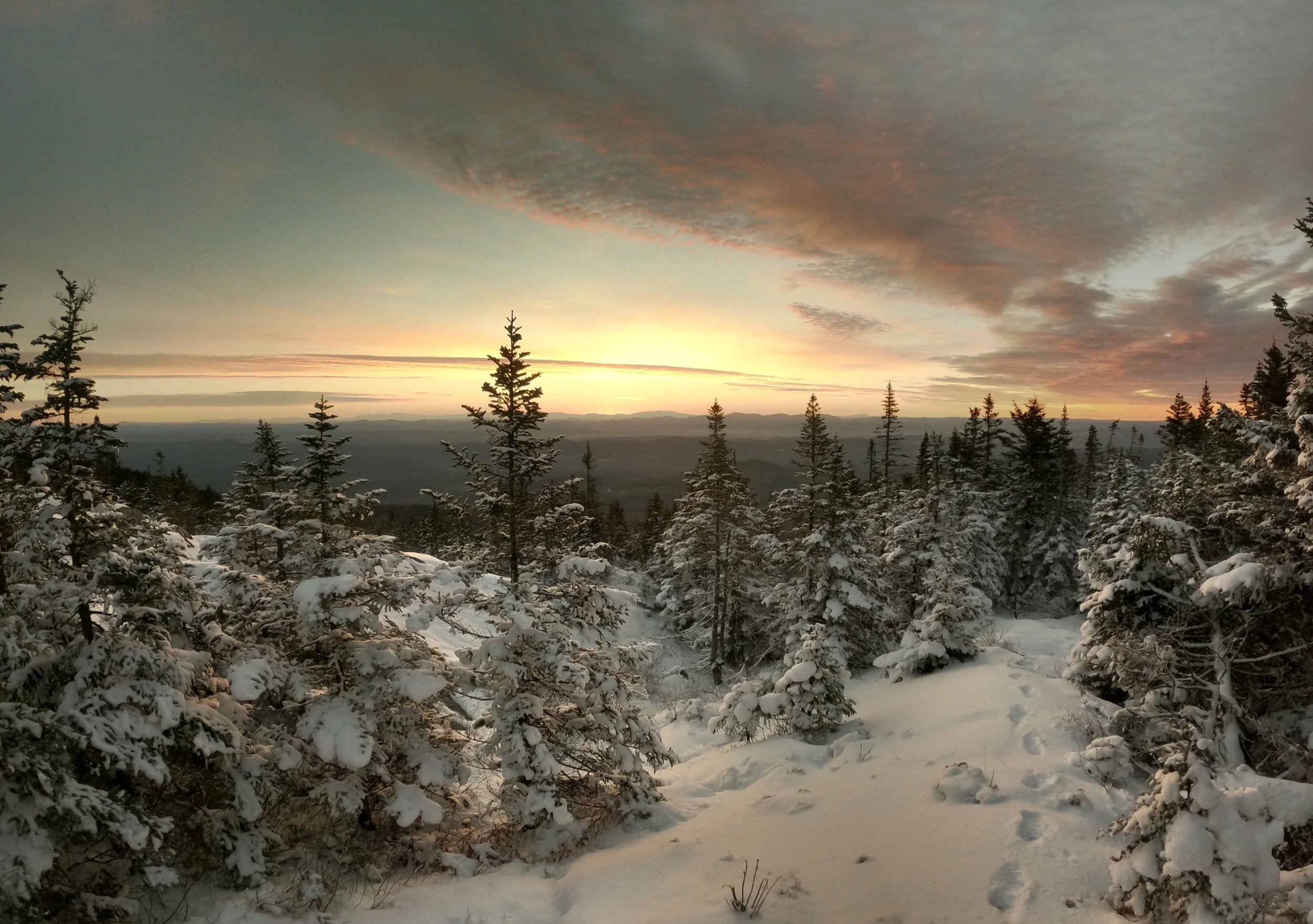
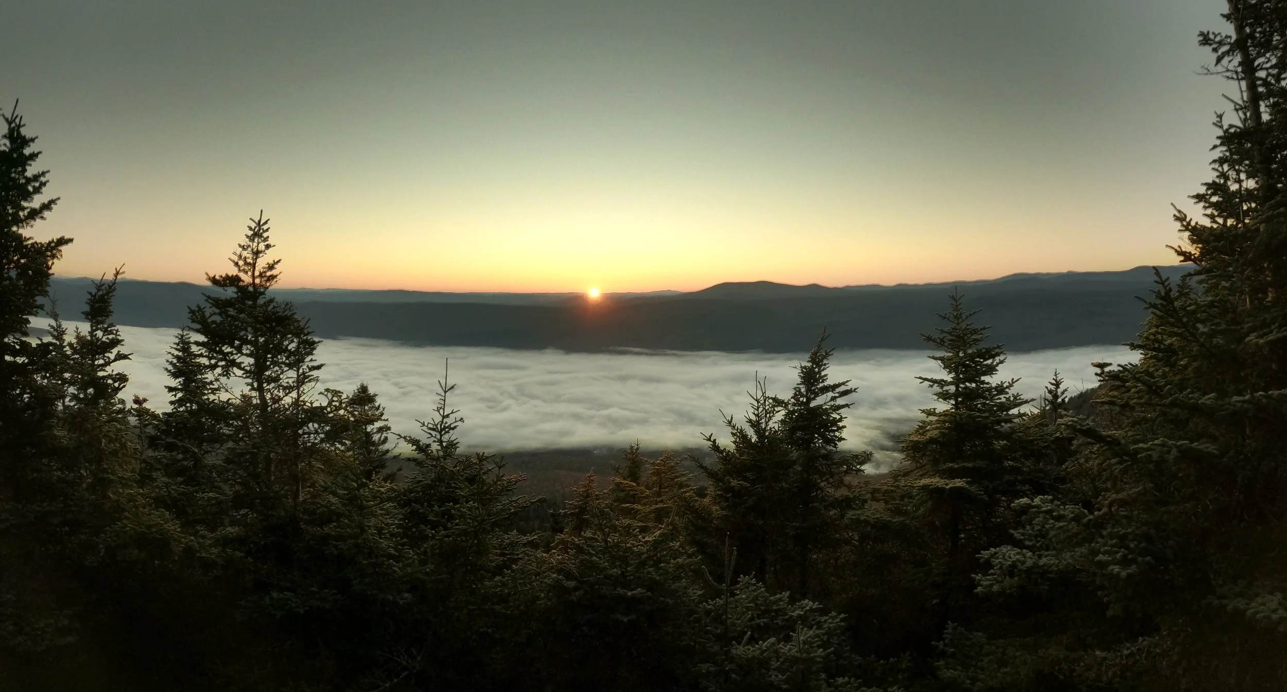
Sunrise from North Hunger Mtn
Farr Peak - 3,517ft
- via LT southbound at Brandon Gap
or bushwhack due south, up Goshen Mountain (3,290ft)
0.9mi / 1,180ft to Goshen Mtn summit, swing clockwise / SE over ridge
2.5mi from Goshen Mtn to summit through open woods
Total out-and-back trek: 7.1mi / 2,640ft elevation gain
- option to drop E or N/NE off Farr Peak to LT northbound (440ft descent)
A very wintery scene atop Farr Peak
Dorset Mountain - 3,770ft (NEHH) + West Dorset Mountain - 3,512ft
- from south, via Tower Road
2.15mi / 1,550ft gain to col
- westward (left) for West Peak bushwhack: +0.85mi / 550ft gain
- eastward (right) for both Dorset summits; trailed peak has fire tower remains
higher summit is “trailless” - follow obvious herd path/ATV trail to summit
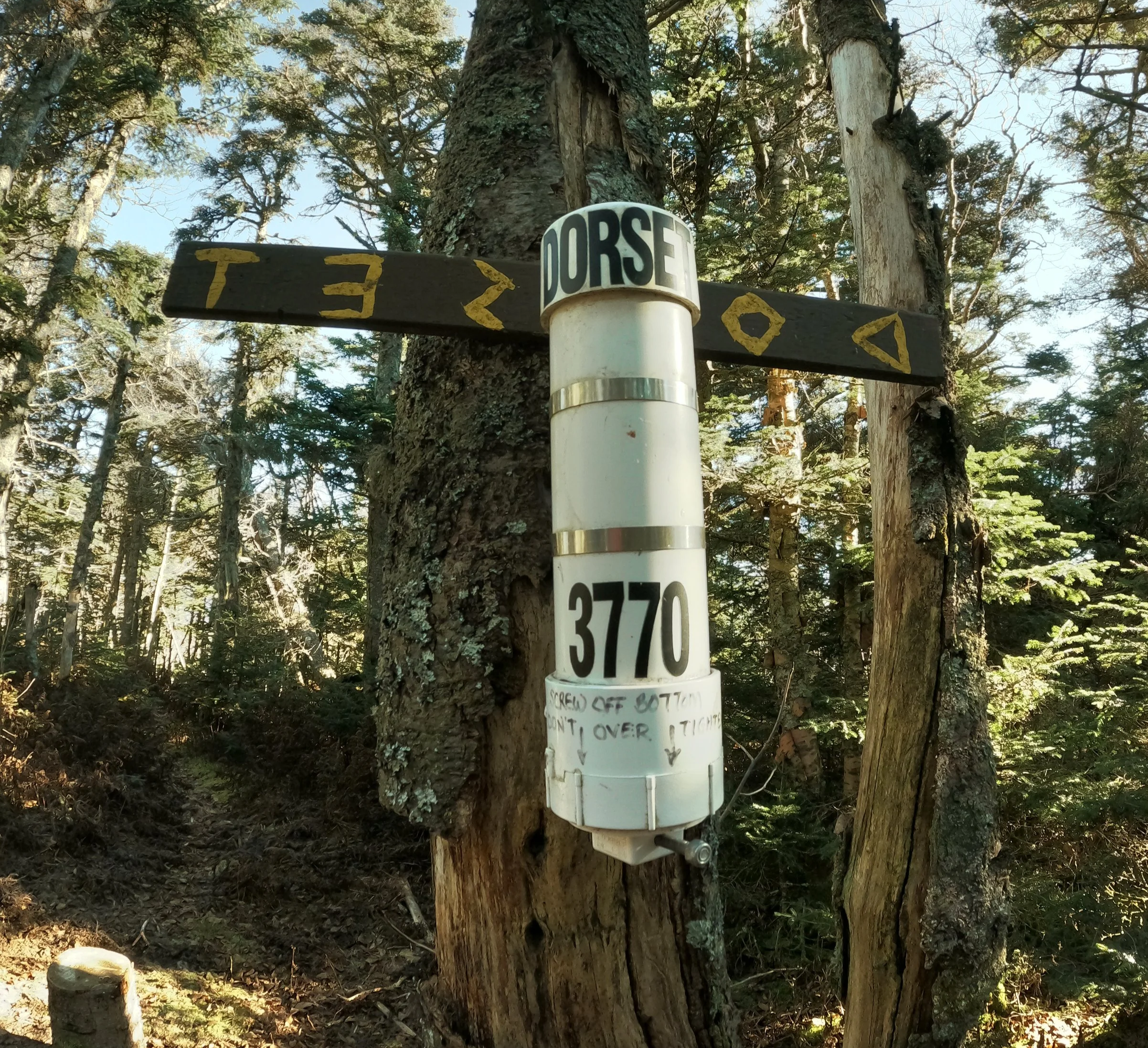
Summit register atop Dorset Mtn