
The Fool Killer
What a goofy name - but all for a good reason, it’s one heck of a climb no matter from which direction you confront its 3,548’ summit. The Fool Killer; this trailless peak had been on my radar ever since inspecting topographic maps prior to my first ascent of the Tripyramids, back in 2017.
Named for the early hikers who would attempt to gain the Tripyramids’ summit from the north, just to top out on its sub-ridge, finding they had, in fact, another ~200’ descent followed by a ~800’ steep ascent ahead of them, to stand atop the higher summit of the Tripyramids.

Logging road grade of lower Pine Bend Brook Trail
By utilizing the current WMNF trail system, hikers occasionally make a loop out of the bushwhack, using Pine Bend Brook Trail to ascend with Sabbaday Brook Trail for the descent - or vice versa. I attempted an out-and-back several months ago utilizing solely Sabbaday Brook Trail but turned back at the 3rd of 8 major water crossings.
Several days ago I was exploring the idea of beginning a bushwhack up to The Fool Killer via its north/northeastern ridge immediately upon departing the Sabbaday Brook Trailhead; then, pondered the idea of departing the Pine Bend Brook Trailhead and briefly following its trail before taking to the forest. While simplified on a flat topographic map, it looked like a solid enough plan to at least give a try.

Unbridged branch of Pine Bend Brook
Armed with the knowledge that we had not received any amount of significant snow accumulation over the past few days and seeing that cars were parked along the shoulder of the Kancamagus Highway with plenty of space for traffic, I decided an early morning departure might provide some decent late-winter snow to bushwhack upon.
Geared up and on the Pine Bend Brook Trail at 7:41am, I quickly donned the snowshoes to keep mountaineering boot heels from tearing up the softening hiker trail. Some of the winter snow-bridges spanning minor waterways had already collapsed and washed away but were all easy enough to step or hop over.
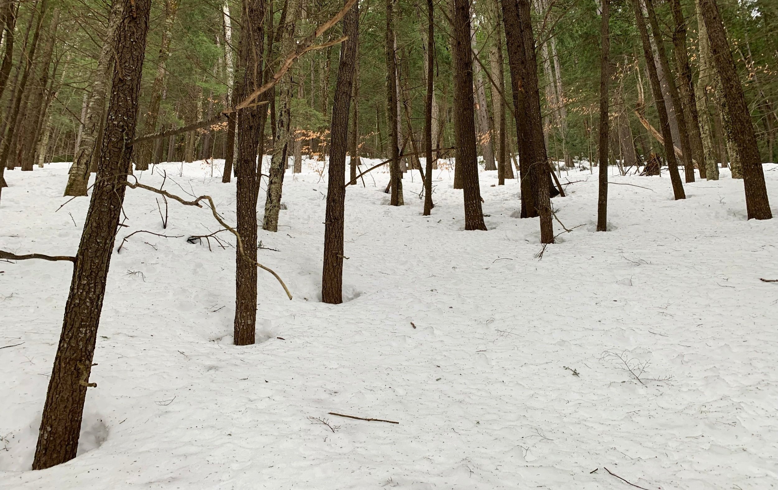
Nice, open forest early into the bushwhack
The old logging railroad grade is gradual at first, and with at least a 3’ snowpack was meandering smoothly alongside a branch of the Pine Bend Brook. Despite the soft, springtime snow, the pathway feels incredibly peaceful, trekking through a mixed forest of pine, hemlock, spruce, birch and beech, just to name a few.
As the trail crossed over the tributary, without wasting time traversing the shoreline in search of a stable crossing, there was no option but to get the snowshoes wet in the 8-10’ wide brook, rocks are in place to help facilitate the maneuver somewhat.
In hindsight I should have veered off south/southeast sooner to pick up the ridge, prior to this initial stream crossing as I had to re-cross shortly after departing the yellow-blazed trail.
Band of young evergreen just beyond the open forest
An old logging road, now becoming overtaken by young beech, was intersected just as the climbing began; through incredibly open forest I kicked steps up the unsupportive snowpack. Much of the ascent to this trailless summit was through entirely tolerable forest, enjoyable in fact; for, what it lacked in dense bushwhacking it made up for ten-fold with poor, springtime snow quality - not the fault of the beautiful mountain, however, just my lousy timing.
It is likely that there remained a 3-4’ snowpack along the northern slope; I hoped the lack of daytime sun would have been to my benefit, but constant overnight temperatures above freezing had destroyed and warmed the upper crust, atop which I could cruise off-trail just days prior. Today, I managed to experience at least one spruce trap with each step, or at least that’s how it felt.

Into the col before the main ascent
Before long I found myself weaving alongside bands of young fir; trying to remain within this lovely open forest I’d delay my entry into the young growth as long as possible. Fortunately, these bands were not more than 15-20’ thick and before long I’d break through to an alcove of more open forest with a collapsible mess of spruce trap hidden below the snowpack.
Nearing 2,800’ I could begin to see the cloudy yet bright sky through the tree canopy, letting me know that I was starting to top-out along the initial climb; I’d hit the first hump on The Fool Killer’s northeasterly ridge and swing southwest, toward the main shoulder and up to the summit ridge.
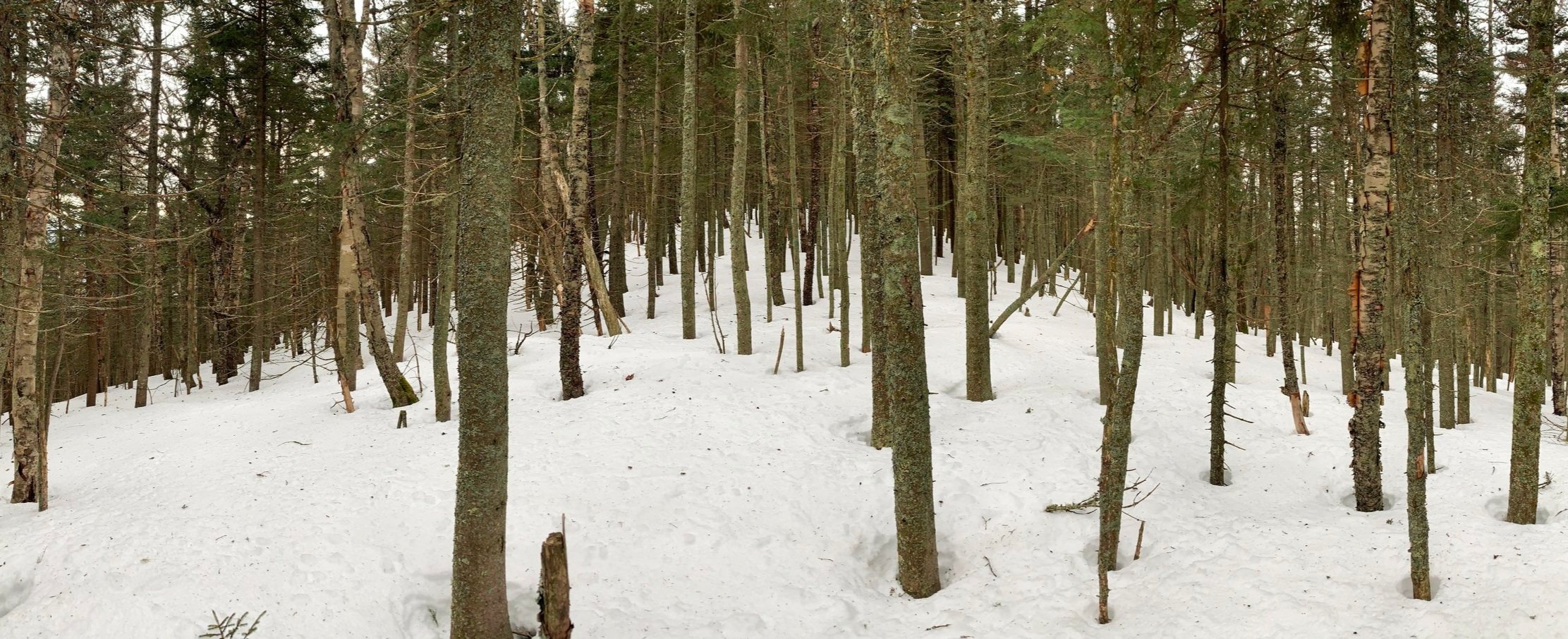
Along the 3,500’ summit ridge
While attempting to save myself some unnecessary climbing, I tried to follow southwesterly along the elevation contour and meet up with the col; I got close but still had a ~80’ descent through dense yet easy going conifer. Occasionally, the northern ridge would appear through the canopy - while not appearing to be far away, it sure was a steep climb in knee-deep springtime snow.
Out of the col, the forest opened back up, making route finding rather easy and pleasant, weaving between tightly woven branches and trying to stay in any open patches. Aside from a few misdirected branches sticking through, the remaining snow did a fine job covering up occasional blowdown until a snowshoe plunged into a hidden air pocket.

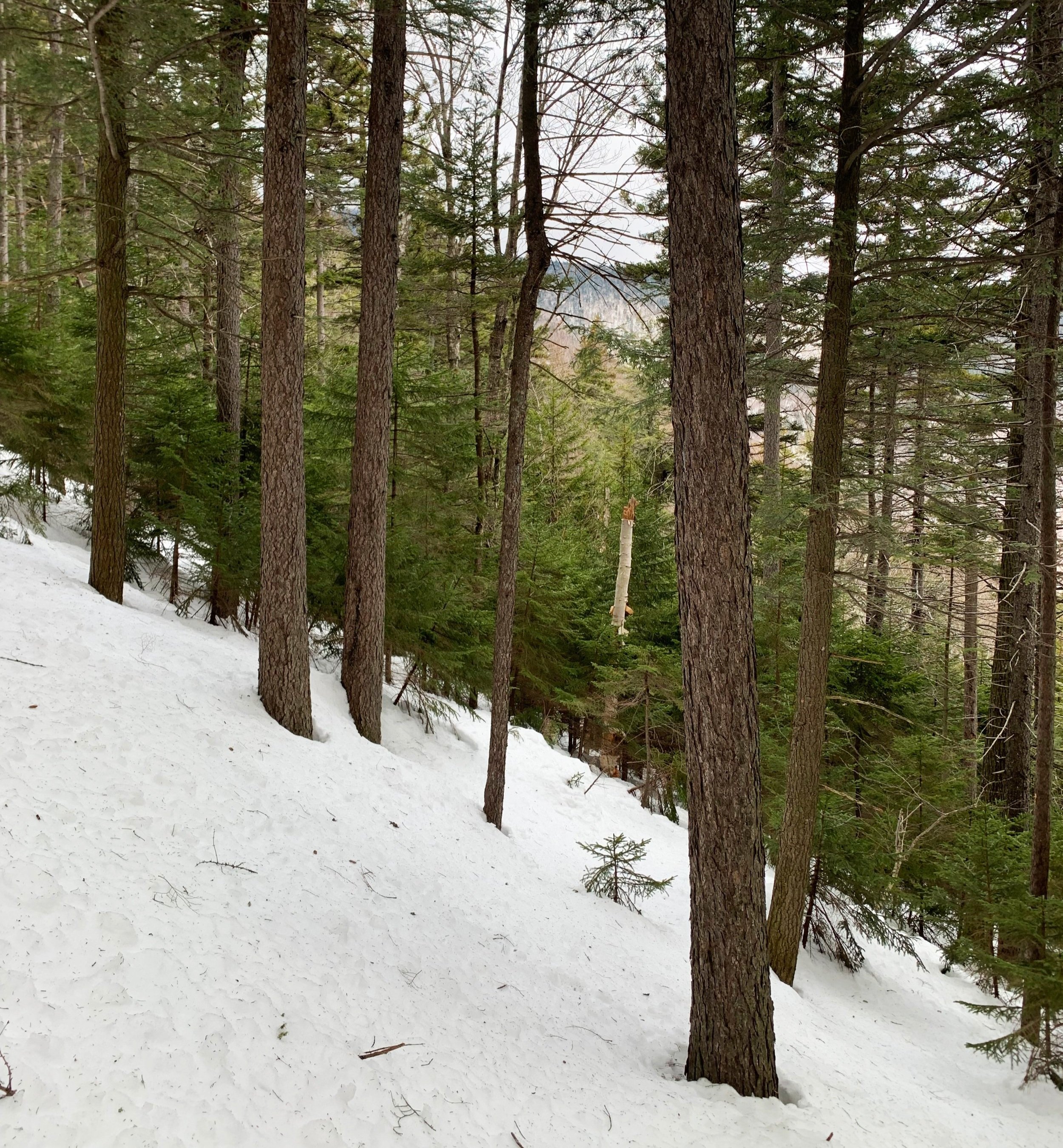
Mt Chocorua through a break in the summit canopy
The remaining hillside grew dense and steep, not bad bushwhacking at all though, when compared to some thick stuff I’ve pushed through lately. Sturdy spruce trees offered themselves as an anchor to gently hoist myself further upslope, trying to create and pack-down steps with snowshoes all the while as to not slide backwards.
Once the grade began to level out I was in a world of amazement - the mature boreal forest was beautifully draped in lichen and old man’s beard - and if not for the mushy, half-crust, half-refrozen slushy snow, could have placed high for a favorite place to bushwhack.
Listening to the high winds nearby (Tripyramids were calling for 30-40mph winds at this point in the morning), I was happy to be sheltered by this lovely evergreen canopy. Ascending by the north had afforded me a 0.4-mile traverse across this stunning fir and spruce ridgescape. This was one section of my day where I intentionally slowed down to fully absorb my surroundings. If it weren’t for the freezing temperatures at 3,500’, I would have had a hard time not finding a rock on which to sit for a while.

Shiny new summit canister
Along the ridge, the trees remained just sparce enough, making the traverse a pleasure to roam; the distant snow always appearing just a bit higher than where I was, so I continued meandering upward, in a south/southeasterly direction.
Arriving at the recognized high point was actually a bittersweet moment; the famed Fool Killer sign and white canister were somehow missing, now replaced with a newer black canister wrapped in orange reflective tape. Oh well, at least it had a summit register notebook to thumb through; I signed in, sipped some tea, tossed on a wool layer and went just a bit further south just to ensure I had not missed any views or relics atop the mountain.
Once I reached a large moose den, which was plainly off the height-of-land, I turned back to retrace my steps up-slope. That is the thing with winter bushwhacking - once you get as far as you need to go, just turn back and voilà, your trailless path is already broken out, making for mindless navigation and easy tramping back to the start.

Easy going along the summit ridge
The return trek was unbelievably more simple than the climb up, basically glissading all the way down the initial steep section atop the snowshoes in deep powder, its heaviness prevented me from gaining too much downward speed.
At least by using my ascending snowshoe tracks I knew that the spruce traps were already found and broken through, making the trek even still more efficient.
Reaching the old logging road back at the base of the first climb I joined it this time, hoping to avoid an unnecessary brook crossing - especially one that was not on a marked trail - bushwhacking stream crossings can get spicy when 3’ of snow suddenly gives away underfoot and you’re left gazing straight down to rushing water beyond the snowshoe print.

Looking back at the northern ridge of The Fool Killer
With about 1.0-mile remaining I rejoined the Pine Brook Bend Trail to guide me back to the trailhead by way of springtime snowshoe track. As its surface is gradually becoming softer with warmer days, I’ll consider myself lucky to have experienced this quality of a snowshoe track before it becomes reminiscent of swiss cheese from boot tracks.
What great climbing atop The Fool Killer; the northern ridge, for me, is the way to go. Beautifully mature forests contrasted with streaked waves of brilliant green, young conifers; steep climbs affording occasional lookout points along the way, nothing too open - just a snippet of a cliff-face off in the distance to entice the climber to ascend ever higher. Once through a stand of ancient-feeling, Kilkenny-esque forest, the mountain rewards the tramper with a splendid view of neighboring Mt Chocorua, framed exquisitely by draping conifer boughs.
Very good climbing, indeed.
Overall stats for the day:
5.80-miles
4hr 3 minutes
2,818’ elevation gain
The Fool Killer - 3,548’