
Spruce Knob (WV High Point)
Following a delightful morning scramble along the knife ridge of Seneca Rocks, Alanna and I snacked as we continued our westward slog; at least our next destination was only a 37-minute drive southwesterly. Located deep within the Monongahela National Forest, the 4,861’ Spruce Knob can be scaled either on foot, or by vehicle.

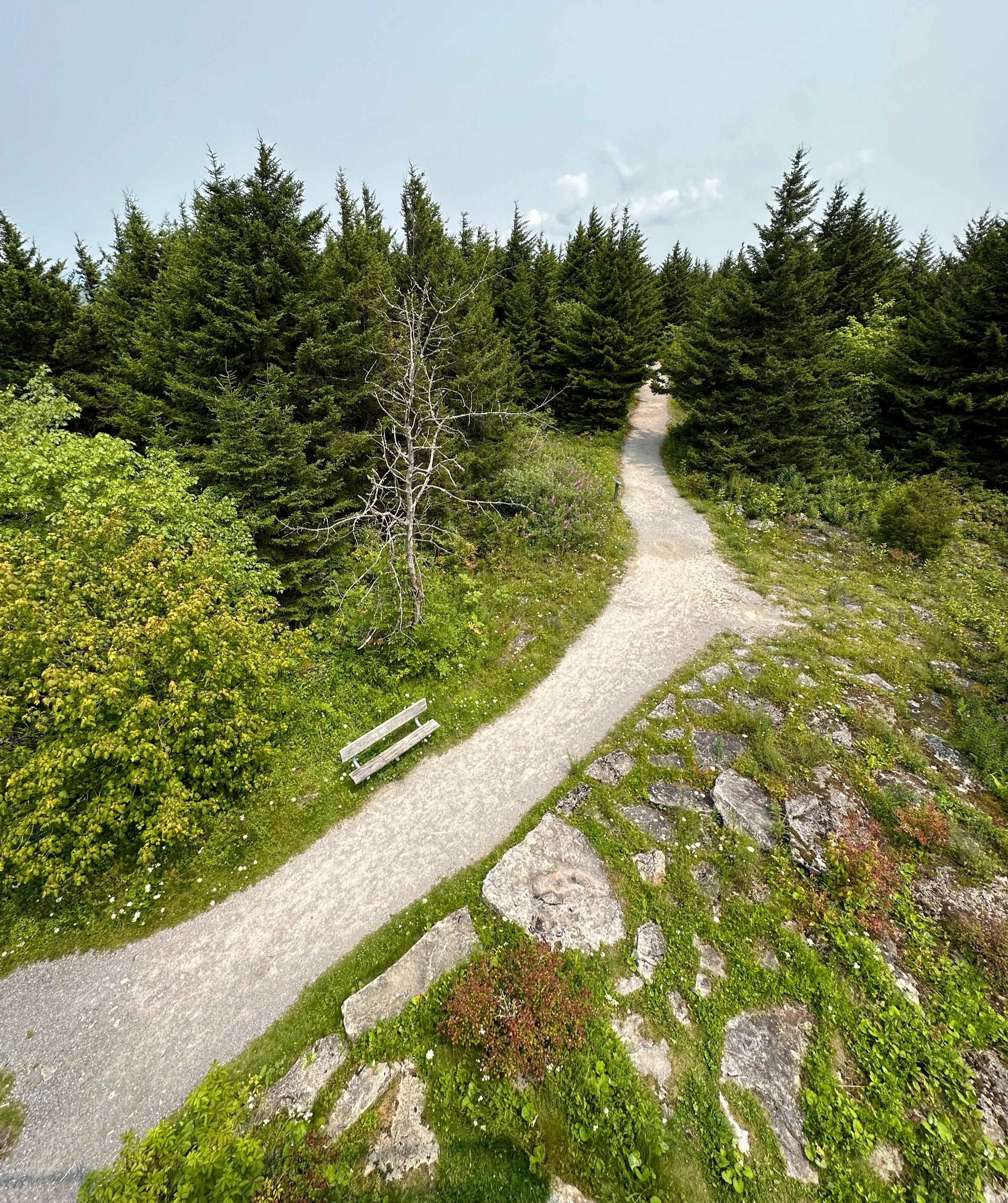
Beginning along the Whispering Spruce Trail
As Forest Road 112 switchbacks up and over the southern ridge of Spruce Knob, the high point of West Virginia can be reached from either direction, east or west. We approached from the east on a recently paved, relatively wide road - in descending the high point we attempted driving westwardly but were quickly met with deteriorating gravel roads, with potholes deep enough to likely fit the state high point of Florida. Needless to say, we returned via the same asphalt roadway we ascended.

The graded path avoids the talus field
If time and weather allow, Spruce Knob can be climbed by the Huckleberry Trail, which seems to offer much in the way of backcountry camping, judging by the volume of tent icons (as of this writing, however, the author cannot report on the state of these backcountry sites).
A 7.0-mile traverse, as FR 112 zig zags, climbing over 1,300’ up Spruce Knob’s southeastern aspect, a signed junction for FR 104 is encountered. Turning northbound here, the road soon emerges onto the ridgecrest, where views abound. An interesting mountainscape of partially wooded summits, as if a bad buzz cut had opened up patches of lighter colored, understory vegetation, while any forested hills wore a much darker, richer shade of green.
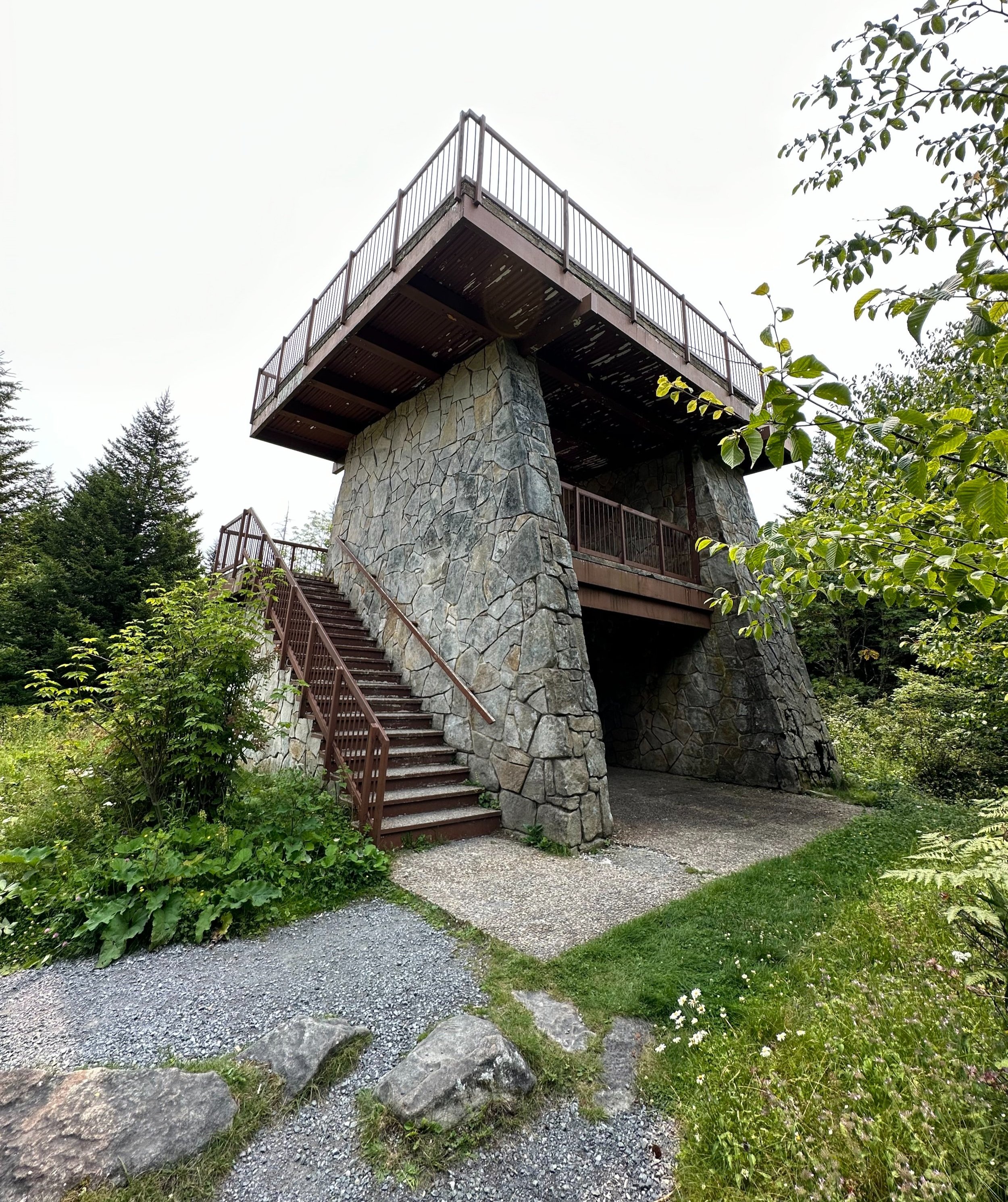
Observation platform atop Spruce Knob - 4,861’
The paved forest road eventually opens up to a large, circular parking lot; restrooms and an information kiosk welcome guests; while the shorter hiking trail can be found directly behind the display board, the longer Huckleberry Trail with backcountry camping options can be found originating from the northern side of the parking lot loop.
Since this was our second hike of the day, we opted for a shorter loop, in which to explore the summit area - plus, who could say no to a trail named the “Whispering Spruce Trail”, we had to see what the pathway contained, and what secret lookout windows its forest canopy might offer.
Whispering Spruce Trail from the lookout tower
After confirming our route on the larger kiosk map, we began on a counterclockwise loop of the Whispering Spruce Trail; through stately conifers we embarked on the moderately wide, gravel treadway. The well-built trail provides excellent footing throughout nearly all of the loop. Reaching several rods into the trek, the dense evergreen canopy opens up, exposing patches of tumbled boulders, one massive trailside talus-field.

Southward views
Continuing along the Whispering Spruce Trail, the observation tower comes into view. Residing at the high point of West Virginia, this two story, stone structure offers suggestions of panoramic mountain vistas - perhaps being 5’7” allowed my line of sight to coincide with the wall of darker conifers; certainly these tree tops have grown, choking the distant view, since the tower had been erected.
Entering the sheltered spruce along the eastern flank
A standard US Geological Survey benchmark disc can be found near the most eastern corner of the tower structure. After taking in all the sights, and exploring the summit area, we continued along the Whispering Spruce Trail, which soon brought us to an open, west-facing boulder field; the vegetation on this shoulder of Spruce Knob having been eradicated by alpine winds, and harsh conditions, at the 4,825’ shoulder. Care should be taken while roaming on, or near the rocks, as some tend to tip, or rock slightly.
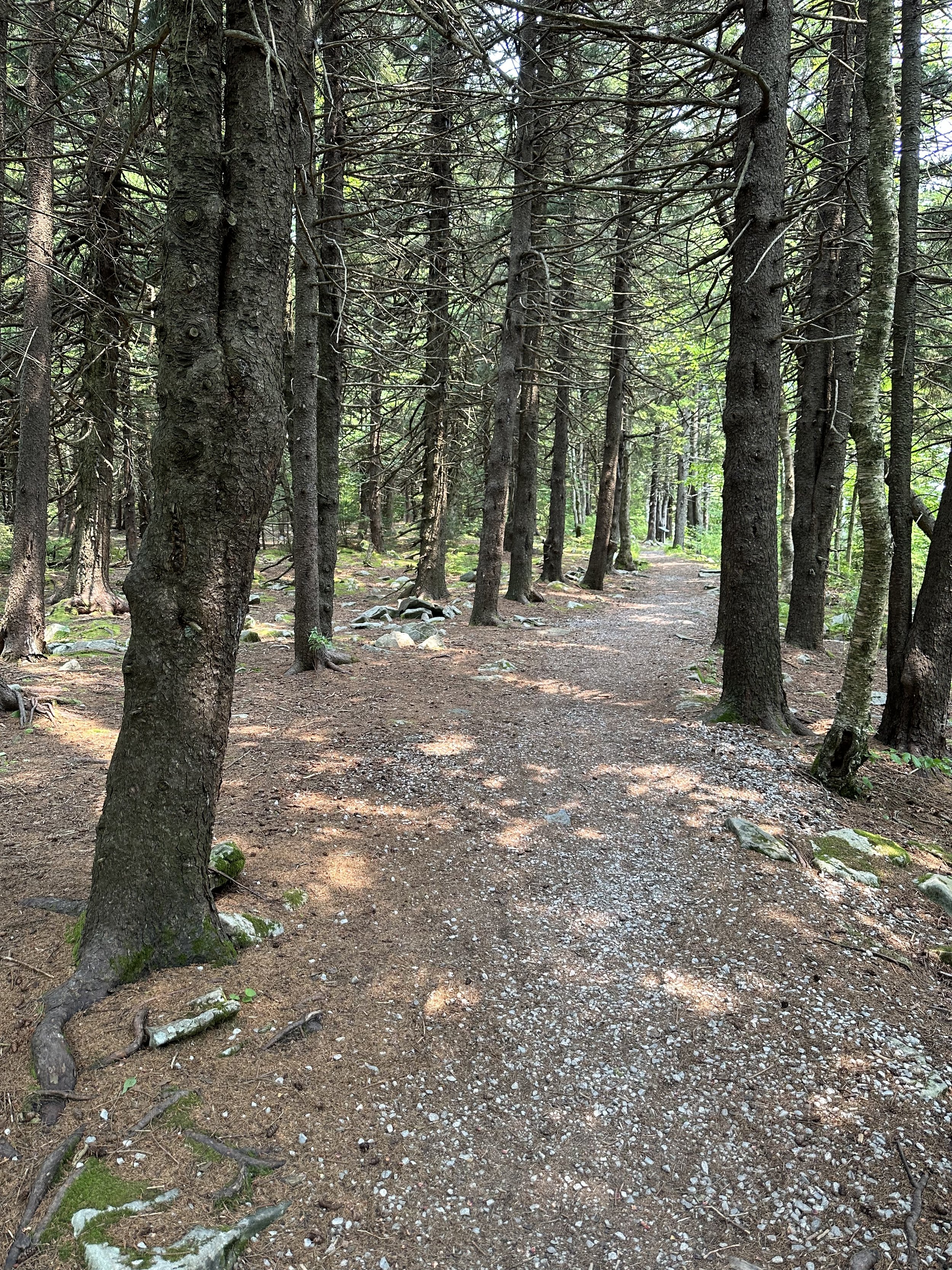
Swinging away from the boulders, to hike in a more northwardly direction, we entered a stunning stand of mature spruce; occasional boulders emerged from the otherwise tidy, mossy forest floor. During the final trek back toward the parking lot trailhead, we spotted several narrow windows of east-facing lookouts, through notches in the wooded canopy we could view more scarred mountainsides.
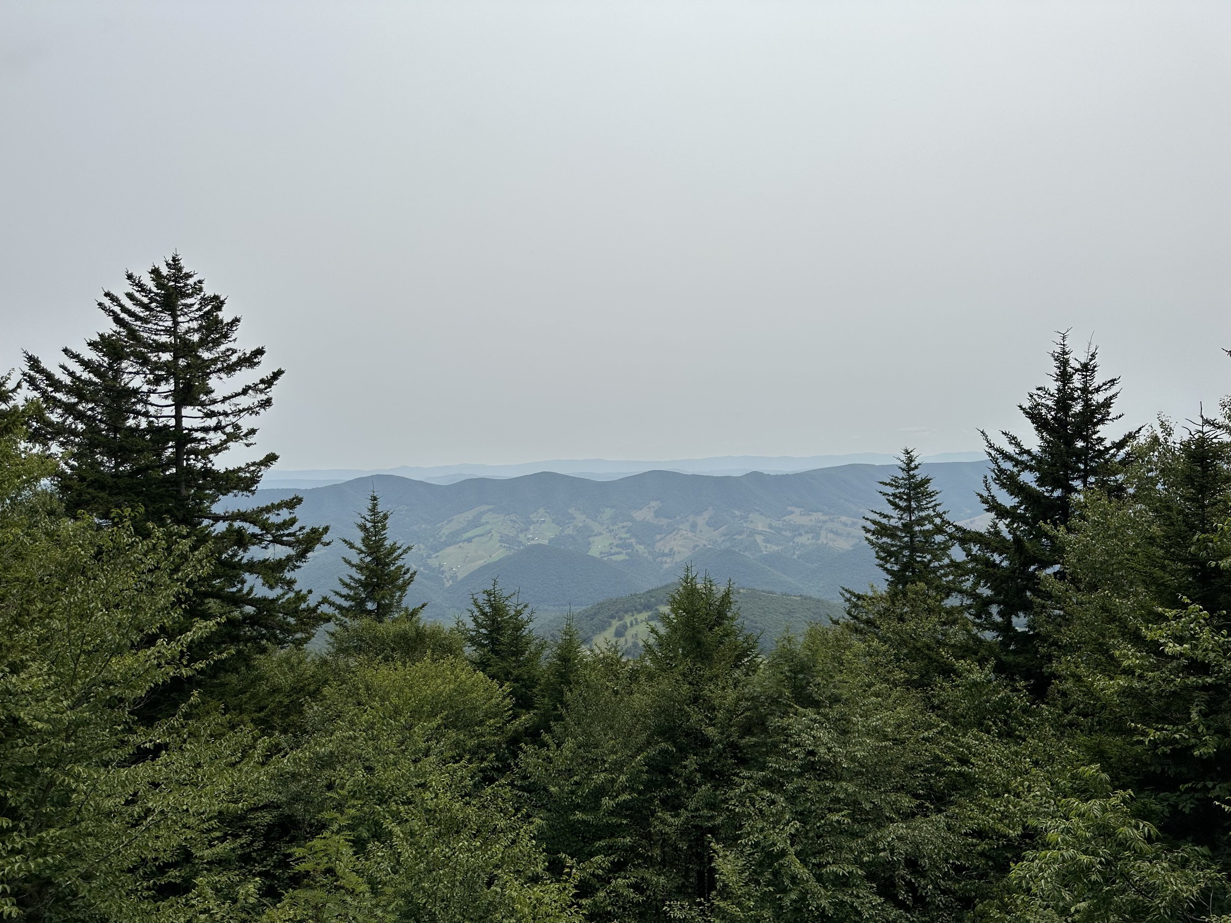
A lookout through the canopy
The most interesting aspect of this high point ramble was perhaps the sign nearing the hiker parking lot which advised guests of flying squirrels in the area, now that we need to see while visiting West Virginia!
Overall stats for the day:
1.01-miles
51 minutes
121’ elevation gain
Spruce Knob - 4,861’