
Mt Magazine (Arkansas HP)
After a full day of driving across the great state of Oklahoma, the sun, yet again, began to set as we entered Arkansas from the west. Along AR 10, we could see lights to the north, high atop the east-west summit ridge. Minimal recon had been done regarding Mount Magazine (alternatively named: Magazine Mountain), and the high point of Arkansas; as we turned onto AR 309, excitement of the unknown enticed us onward.

Sunset before trekking to the Arkansas high point
Rising over 2,150’, the road zig zags for 10.5-miles, up Barber Ridge, and thence westwardly, onto the mass of Mt Magazine, until obtaining the height-of-land, and reaching the junction with Mount Magazine Road. A westward drive of ~1.5-miles brings hikers to a three-way junction. Vehicular travel along the Mt Magazine Road loop is directional (clockwise), bringing hikers first toward the lodging options (as well as a cliffside hang glider launch pad), thenceforth the road swings around the summit cone.
Several parking areas abound, which double as grassy picnic areas; as the sun was nearly cresting beneath the horizon, we parked briefly along a more northerly spur: Overlook Drive, for a stunning lookout to a deep burgundy orb of sun, as it sank below distant mountain ranges. Unfortunately, we did not find public restrooms at any of these pull-offs, however, a public campground is available just north of the summit, from which several hiking trails depart.

Beginning along the Signal Hill Trail in headlamps
As the sky was nearing total darkness, we struggled to locate designated hiker parking areas around the loop road. Instead, we parked briefly at the massive Lodge at Mount Magazine. Thankfully, with over half of the large parking area vacant, we did not steal parking from any Lodge guests; although I would suspect parking here on busier days, or weekends, may be frowned upon. We were able to leave our car at the far eastern end of the lot, away from any entranceways for 40 minutes, without causing any alarm - even the signs near the Lodge itself seemed surprisingly welcoming to foot traffic!
Backtracking several rods eastward, along Lodge Drive, we remarked about a small herd of white-tailed deer grazing lackadaisically in the nearby woods, our headlamps causing their tapetum lucidum to glow a familiar green in the dim, mountainous aether. Veering northward, onto the Signal Hill Trail, we were almost immediately met with an eastern branch of the loop trail; we followed the western (left) branch for a more direct approach, saving the longer, loop hike for the return, if time and conditions allowed.
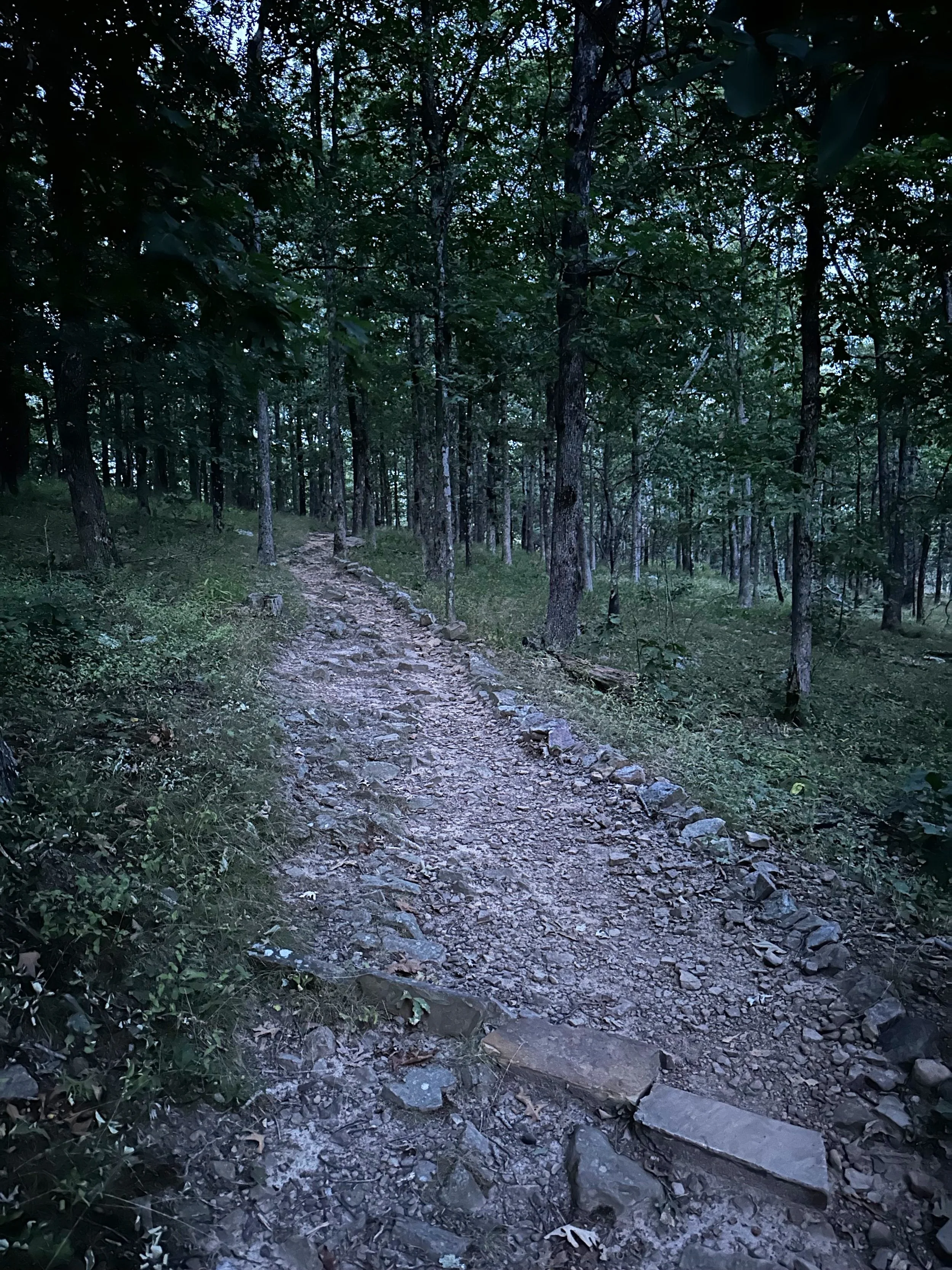
Rugged footing of the Signal Hill Trail
The treadway of the footpath is very compact and supportive; some smaller, angular boulders emerge from the surface, mere obstacles to be stepped over, or around. As we began precisely at 8:00pm from The Lodge parking area, headlamps were already being employed to navigate the rugged footpath.
Once away from the roadside, we could shine our headlamps far into the mountainside - along the Signal Hill Trail, we had yet to encounter those inquisitive eyes tracking our uphill progress. As the pathway noticeably veers counterclockwise, encircling the summit cone, eventually the trail opens up to an expansive, yet wooded summit of Mount Magazine, or Signal Hill. From what we have gathered - it seems the actual peak of the high point is known as “Signal Hill”, while the actual mesa, or mass of flat-topped mountain, is known as “Mount Magazine”; as if the names are exchangeable, to some degree.

High Pointers Club summit register mailbox
Upon entering the summit clearing, we were initially struck with the sheer size of the log-framed summit sign. Nearby, we also found a standard, matte-black mailbox. Similar versions can also be found on several other state high points, these are generally placed by the Highpointers Club; a hiking club devoted to raising awareness for and protecting the 50 State High Points across America. Some high point summits also feature park benches inscribed with their logo, for high point visitors to find a reprieve.

Survey benchmark atop Mt Magazine
These High Point mailboxes typically contain a summit register notebook, into which guests can scribe their names, and interesting hiking tales for others to find and enjoy. Also found cemented and embedded in bedrock, near to the official, recognized high point (or occasionally on), is a small, grey, Geological Survey benchmark disc.
As we logged our ascent into the summit register notebook, we heard a peculiar rustle in the duff to our south/southwest. The summit sky was pitch black by this time; our headlamps should have been illuminating the eyes of any nearby animals - but we saw none. Still, the rustling persisted - as we listened together, craning ears toward the dark forest, we were still unable to pinpoint the source of the mysterious rustles.

Signage welcoming all to enjoy Mt Magazine
Fearing the noise was coming from a skunk, black bear, or worse, we opted to descend the same route of the Signal Hill Trail, foregoing a longer descent in the dark for another night, perhaps for when we did not have wildlife of undetermined species tracking us through the unfamiliar hillside. With headlamps illuminating the rocky pathway, we soon descended the stone steps which led back to Lodge Drive. Reflecting on the night hike, and where the evening would bring us next, I felt a sense of ease as we moseyed past a large, illuminated sign which read:
“Come again to Arkansas’s high point. You are always welcome here.”
Overall stats for the day:
1.33-miles
40 minutes
190’ elevation gain
Magazine Mountain - 2,753’