
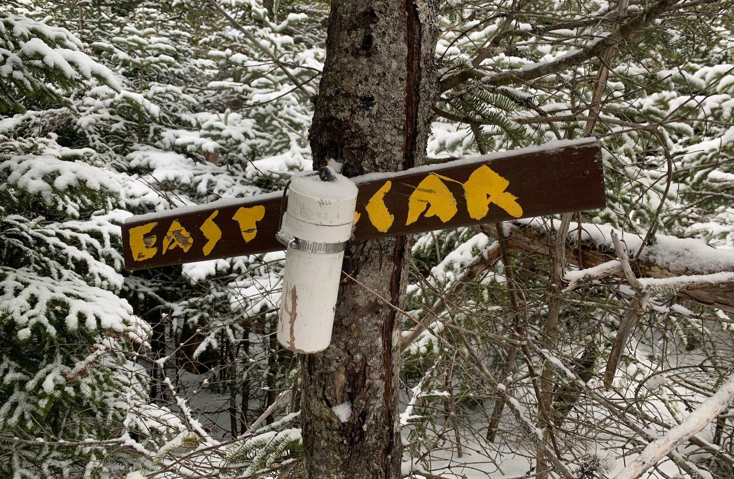
Scar Ridge - East Peak
Expecting more of the thickest, wettest, gnarliest bushwhacking the White Mountains could dish out, I was prepared for an ultimate suffer-fest atop this ridgeline; perhaps it was partly due to its name: The Scar Ridge, or because I’ve read reports from other hikers who used those precise words: thick spruce, blowdowns and slow going.
I had paid a visit to the western side of Scar Ridge (read about it here), departing the Loon Ski Resort onto a clearly visible herd path which soon faded to a tight pencil forest with wet boggy areas and lots of blowdown. While some folks declare the ridge is no longer a challenge due to surveyor flagging, spray paint markings, trampled and broken branches, I saw none of that by the route I trekked today and had quite a fine ramble through the late-winter forest.

Crossing the Hancock Branch
While I would have preferred to have parked at the East Pond Trailhead, off the southern side of the Kancamagus Highway (US Rt 112), several miles east of Lincoln, NH - this lot had yet to thaw from its deep, snowy blanket. After several days of driving by and scoping out parking options, I figured I had a shot from the Otter Rocks Day Use lot, which was plowed to accommodate perhaps 4-6 vehicles.
Aside from not having a bridge spanning several significant stream crossings right out of the parking lot, there was also no trail to follow, as the East Pond Trail would have provided. While prepping gear back in my car, I weighed the options of bushwhacking southeasterly to pick up the East Pond Trail or bee-line straight toward East Scar’s northeastern ridge.

Easy going lower forest
By what I saw on topographic map, I favored the idea of heading in a southwesterly direction to gradually ascend the ridge versus a bushwhack over to the East Pond Trail, which would provide an easier 2.0-mile trek in before a steep climb in which to gain the eastern summit.
A lot of factors were flying around my head - none of which I had answers to until I stepped foot into the forest to see how treacherous the travel might be. I knew lower elevations received some rain and with above-freezing temperatures over night, assumed my once supportive snowpack would be degrading; hopefully only plagued with slow travel - at worst the warmth would have brought a million spruce traps back to life.
Ascending the N/NE ridge
Taking the fate of my early morning hike literally one step at a time, I stepped out of the warm car and directly into snowshoes, which instantly sunk into a slushy mess. At 6:50am I figured I’d see how far I could make it through the forest; when the going became too cumbersome I’d simply turn around and follow my tracks back out.
Not even twenty feet from my car I met the northern shoreline of the Hancock Branch waterway. The water flow was surprisingly not as high as the roaring echo made it out to be; there was a decent snowpack atop most of the crossing but no way of telling how much of it would support my weight. Beyond several rocks I stepped onto a precarious snowy shelf as water flowed and disappeared beneath - luckily the snow held and I moved onto the next obstacle.
Once into the woods I grew hopeful that the open forest would persist for a bit, knowing that at some point I’d be in the thick stuff for sure. Next, crossing Pine Brook came with two forks, both of which were crossed fairly easily. With the three waterways complete I continued along the open, mixed forest - the white pines of these low woods were some of the largest I have stood next to in a long while, what a sight.

Becoming thick, but not bad!
Inconspicuously, elevation was gained as I picked a route, meandering through a tree trunk forest; often around and under conifer boughs and beech branches as they held droplets of rain water. While I had Gore-Tex layers stashed in my bag, along with a fresh set of clothes, gloves and hats, I didn’t want to overheat or unnecessarily soak through spare layers if a few extra steps to either side could avoid the trouble.
Minute after minute, I was in awe - always expecting to crest a hump on the ridge or turn a slight corner to see my open forest become an impenetrable wall. I was trekking through a lichen and moss-rich forest, very reminiscent of the Kate Sleeper area; pencil-straight spruce and fir trunks which were essentially devoid of any lower limbs - a pleasure to mosey through.
Climbing along the apex of the ridgeline, the snow momentarily grew firm, transitioning from a nearly unsupportive 4-8” drop with each snowshoe step to occasionally gaining traction after only sinking several inches, unfortunately my excitement for a snowy crust was short lived. Even around 3,000’ the rain-soaked evergreen needles began to show a gathering of wet snow precipitation from overnight.
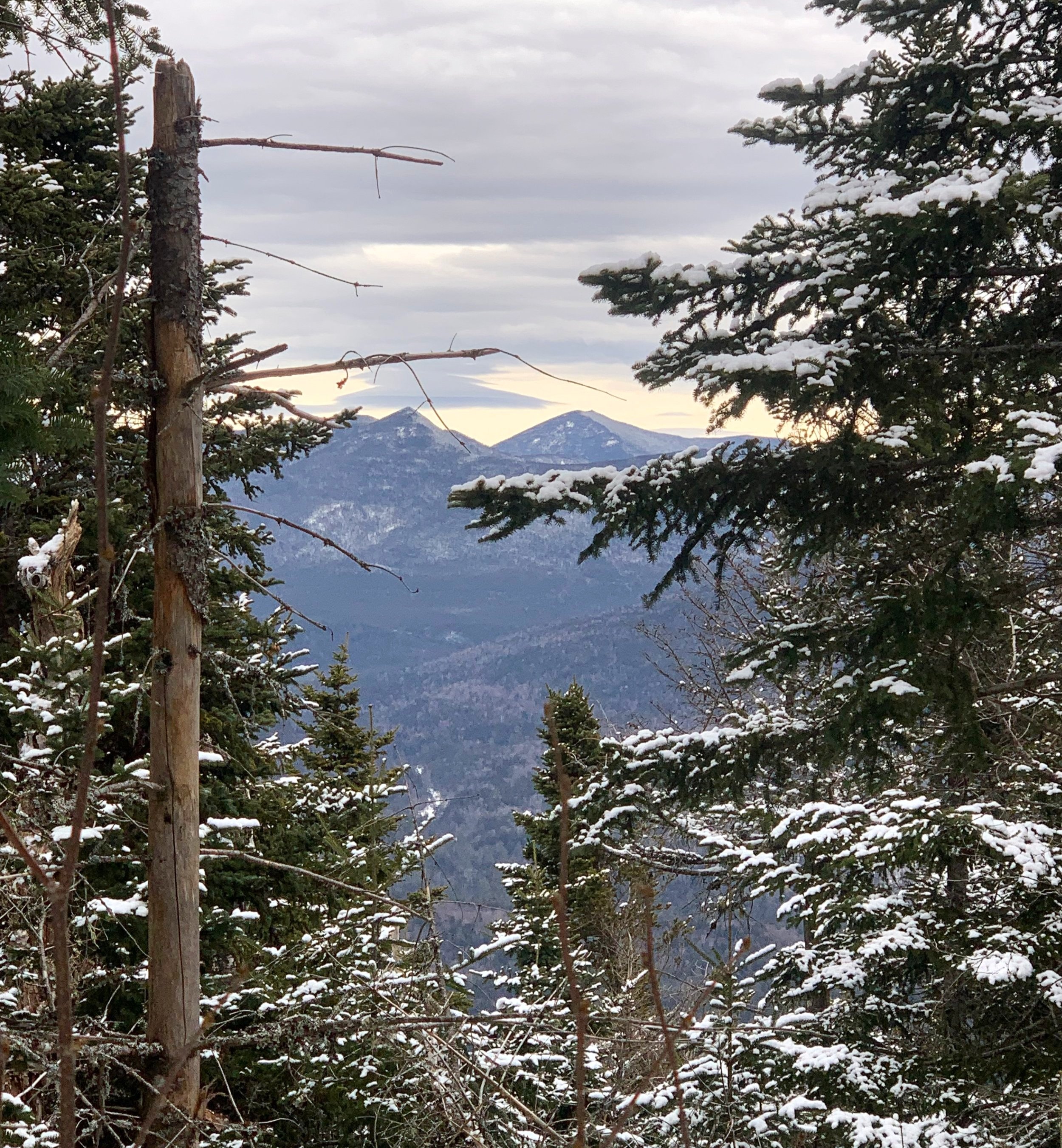
Northerly views
Several locations along the ascent even opened up enough to have a northerly gaze - toward the Hitchcock’s, Hancock’s and Huntington’s. Nearing ~3,200, I could feel fresh snow atop older, crusty layers, all of which began gathering and sticking to the underside of my snowshoe, preventing any sort of up-hill traction. The compacted wet snow wasn’t difficult to kick off but was constant; even as the slope-angle increased, the springtime snow layer sluffed off into a 5-7” layer of mush - the sight of which all too well reminded me of the wet avalanche I had found while ascending to Nancy Pond several days prior.
All of this stacked up in my mind, I’d press on toward the high point of East Scar but I had no regrets about playing it safe in these failing conditions, I’d surely come back another day - I’ve wanted to ascend this ridge from the Tripoli Road side anyhow, it all works out in the end.
Reaching ~3,500’ the forest finally tightened its grip; twiggy spruce grew thick and just before a beautiful open mountainside lookout of the entire Osceola Range, I plunged right into the middle of a super-thick balsam fir patch - while it smelled delightful, I did not favor the dumping of wet snow with each step and movement.

Osceola Range
This rough and tough section of bushwhacking only lasted 20-30’ and probably could have been avoided if one takes the time to look around, I knew it couldn’t last long and relentlessly pushed through - it really wasn’t so bad, the view along with a fresh shirt made me nearly forget all about it.
A distinct area of bright light illuminated an otherwise dark coniferous canopy, with a strong premonition that might be exactly where I would find the high point, I picked the most “open” patch of thick forest I could locate and meandered over - success!
Taking just long enough to sign into the summit register and log my ascent, I shook some of the snow off and followed my tracks back in the direction from which they came. I pondered a short trek over to Southeast Scar, as several reports state this sub-peak actually stands taller than East; in that direction all to find was a sea of wet snow-topped evergreen boughs - I’d gladly save that adventure for a time when snow is gone and trees are dry.
East Scar summit
Once again I decided to simply retrace my steps through the thick evergreen section, knowing I had already knocked down most of the snow - plus this dense patch was a considerably short distance. When I had trudged through the remainder of slow, thick forest I stopped for warm tea and a much needed pause to simply listen to a very quiet forest; there were subtle cues to its springtime awakening, but moreover, calm permeated the ether all around.
As the sound of flowing water crept back into the airwaves I knew I’d soon be back at the final three stream crossings; while the temperature hovered in the upper-30’s I could tell the snow underfoot had grown even softer, now more like trekking atop a white slushie.

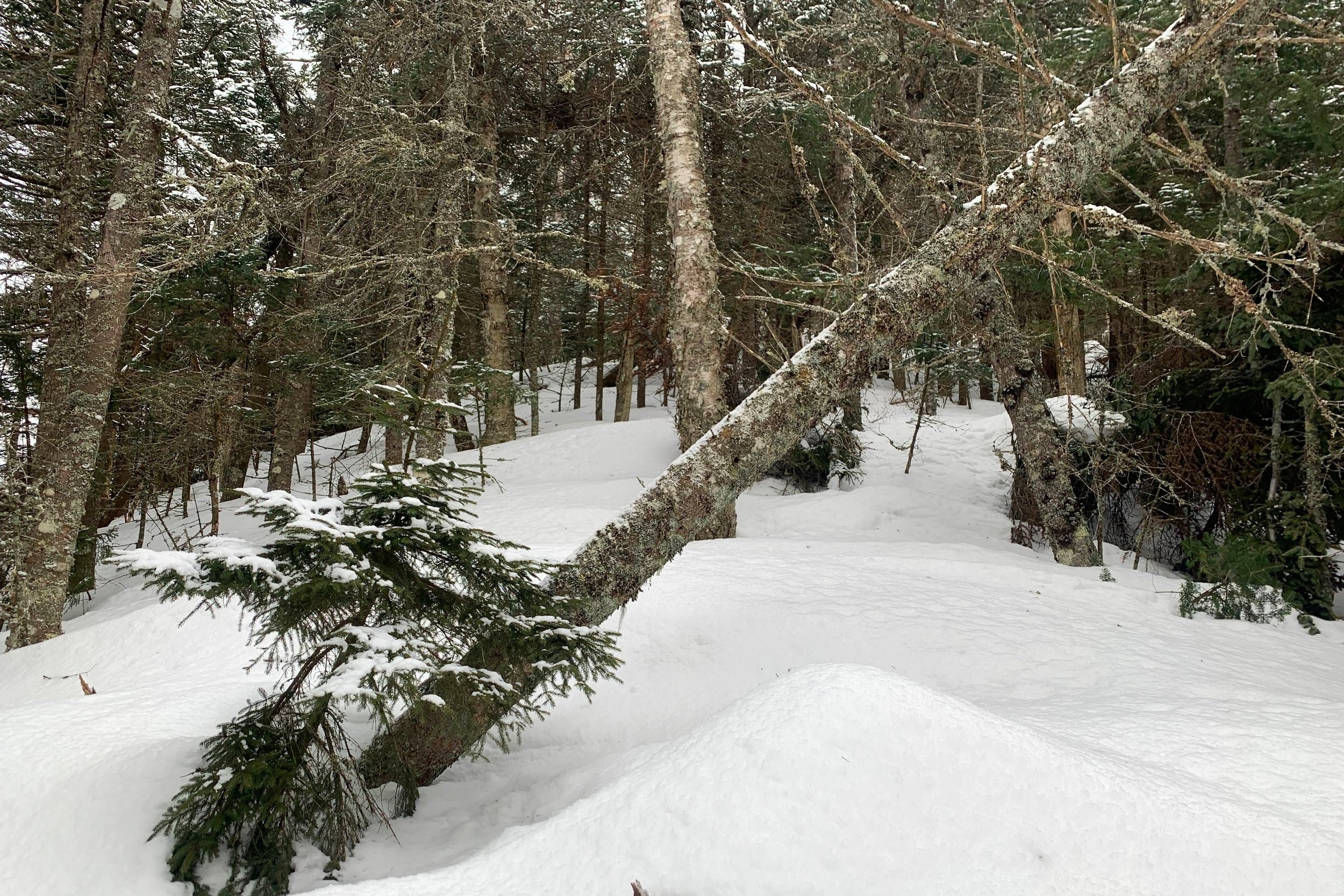
Springtime snow + spruce traps
The crossings were all becoming significantly softer as well, one snowshoe took a plunge into Pine Brook while another met with the second fork of the same brook. Luckily, with waterproof mountaineering boots and knee-height Gore-Tex gaiters attached, my feet remained warm and dry.
Figuring the wider, deeper Hancock Branch would be the brook to give me troubles, it did not. The snowy shelf undercut by flowing water held up (this time) and with a short scramble up the bank, was at my car.
Despite crummy snow conditions, this ascent of East Scar’s northeastern ridge was a fantastic morning climb. Completely unexpected joyful rambling from beginning to end: majestic forests, steep climbs, deep snow, stunning views to the neighboring Osceola’s; certainly an area of the White Mountains I cannot get enough of.
Overall stats for the day:
4.40-miles
3hr 20 minutes
3,806’ elevation gain (may include a few spruce traps)