
Pliny Mountain
After much internal debate, it was decided that getting out to hike and explore while having several free morning hours was a much better way to spend time than simply waiting for white fluffy stuff to barrage from the sky, inevitably forcing forest road gates shut for another winter season, here in the White Mountains.
While the unofficial trailhead for Pliny Mountain is a bit less affected by winter conditions than other “traditional” forest roads; when I attempted to hike this trailless peak last year, I found, unfortunately, the miniature parking lot had been repurposed and was then storing excess snow from neighboring lots and driveways. Unable to find any adequate space roadside to stash my Subaru for several hours for a roam of the mountains, I reluctantly drove on to bushwhack a backup plan in the Dartmouth Range, of the south.

Old Priscilla Brook Trail corridor
Anyone who has also become fond of studying old maps of the northern White Mountains may be familiar with today’s route as well. Found on maps and described through the 1983 edition of the AMC White Mountain Guide, the Priscilla Brook Trail utilized old logging roads and provided southwestern access, toward South Weeks Mountain, and furthermore into the Kilkenny wilderness. On paper, the old trail departed the northern side of Ingerson Road and traced the eastern aspect of Priscilla Brook ravine, eventually climbing to the 3,150’ height-of-land between Mount Waumbek and Pliny Mountain.
Whilst still in the planning phases of this adventure, and armed with several relatively recent trekking reports of the old Priscilla Brook Trail, I assumed following the old trail corridor would provide quick and efficient access to Pliny Mountain; the plan was to follow the Priscilla Brook Trail for 2.2-miles, until the height-of-land, and simply diverge into the trailless woods for the remaining 0.5-mile bushwhack to reach the mountaintop of Pliny Mountain. Heck - a similar approach worked wonderfully for my recent ascent of Unknown Pond Peak, how different could this trek be?

Pliny Mountain coming into view from West Pliny
Feeling as if my timing was impeccable - snowflakes the size of half-dollars tumbled from the sky as dawn began to illuminate the horizon; overhead, dark clouds were enveloped by even darker clouds; the morning reports had forecasted a mediocre 4,450’ cloud ceiling - I hoped for this to be sufficient enough to remain below the heavy blanket of cloud. Once backed into the old two-car trailhead for the Priscilla Brook Trail, I quietly congratulated myself for at least making it into a parking spot today. With flakes continuing to fall, I affixed a pack of emergency gear to my back, turned into the woods, and never looked back.

Pliny Mountain from the West peak
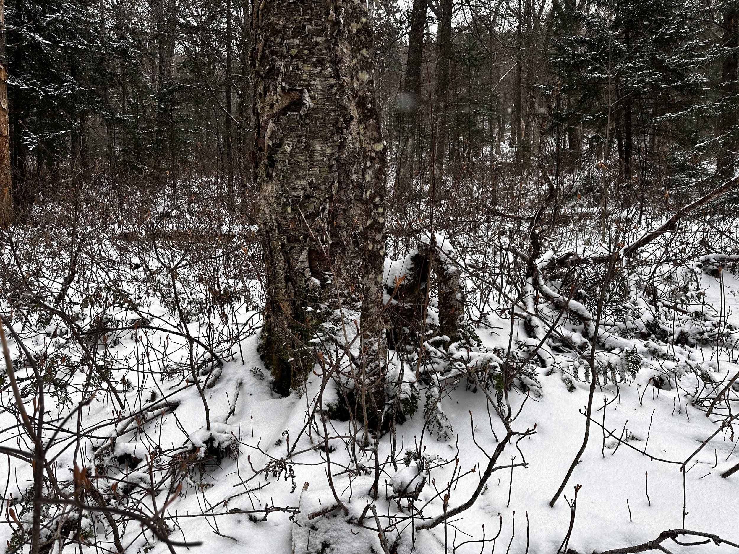
As the snow fluttered down, it softened the sound of the bubbling Priscilla Brook just off to the west; initially, the old trail bed appeared dry beneath the 2-3” of powder but soon became soggy underfoot. Young white pine and balsam fir boughs draped into what would have likely been a pristine corridor of pathway, forty years prior. As the old route became tougher to distinguish from the surrounding forest, inevitably I ended up veering eastward from the Priscilla Brook Trail rather early on, in favor of “friendlier” woods; the going made easier by a localized patch of pencil birch, beech and various other hardwood species. Hardly a standing tree larger than 4” around could be found; thankfully, however, there were no low branches to sluff snow down one’s neck, nor was a single piece of blowdown to be found underfoot. The technique was simple: bob and weave like a boxer around each narrow trunk.

Ascending Pliny Mountain
Before long, I passed signs which had been posted by the landowner, indicating there was to be no hunting on their land without prior consent - signs such as these, especially during hunting season, for a hiker and bushwhacker, are simply marvelous. The enjoyable, open woods soon grew into a tangle of hobblebush stems; at about waist-height, the cohesive unit of bush sure struggled to allow my access to the far side, but once through the network of woven stems, the woods grew favorable and simple to navigate.

Nearing the summit of Pliny Mountain
Once past the band of treacherous hobblebush, the remainder of the ascent up West Pliny became a breeze: steep, yet easy going through the mature forest. From the summit plateau area of West Pliny, the main objective of my day was entirely visible, and framed by a winterized mountaintop tree canopy. Traipsing cautiously, I assumed some wildlife was lurking nearby, keeping an eye on my progress as I navigated through the high birch meadow; a bit of drifted snow softened every stick crack and foot step.
With a quick glance at the map to confirm the shallow col could be found just up ahead, I followed what appeared to be a narrow path from past traffic. Back into the thick of the forested col, all the while an unmistakable herd path remained visible, stretching out before me. As it seemed to mosey where I had intended to travel, I followed it.
A bit brushy, a bit tangled
From the 3,110’ col, the climbing was straight forward and remarkably pleasant - the forest remained in great shape and the only direction I had to venture was entirely obvious. Topographically, Pliny Mountain appears to somewhat resemble a fairly symmetric cinder cone, such as the Cascade Volcanoes of the west coast.
Tree coverage grew thin as the surrounding air became bright; stepping over several fallen logs, I made the final ascent by climbing due east and then splitting off toward the southern knob of two minor peaks. After a visit to the recognized summit area, I took a stroll and admired some stately birches as they glistened with fresh snowfall.

Back in a more pleasant forest of lower elevation
After a satisfying stay atop the 3,606’ summit, I thought the best course of action was now to follow my ascending tracks in the snow until reaching the col, perhaps from there I’d work northwesterly, back toward the Priscilla Brook Trail. Descending Pliny Mountain was just as efficient as ascending, I was really enjoying these remote woods, as I typically do anywhere in the Kilkenny mountains.
From the col, I continued until I should have been standing directly on top of the old corridor. With no abandoned trail anywhere insight, I proceeded for several rods until sinking a foot in muck - I didn’t stick around to see about answering any further questions I may have had, but seeing as the entire gully was a muddy, grassy bog, I worked tirelessly to sidehill southbound, around the bulk of West Pliny, in search of dry footing. At several instances I intersected old logging or forest roads, at one point I was convinced I had found a dry stretch of the old Priscilla Brook Trail, all while listening to the namesake brook babbling away nearby in the shallow ravine.

Glancing back to West Pliny from an old woods road
In hindsight, there is no reason I will ever try to navigate the old Priscilla Brook Trail corridor any further than I had gone today. If there ever is a “next time”, I will save both time and soggy feet by simply crossing over the summit of West Pliny both directions. The thought had, of course, crossed my mind today, but while cruising up and over West Pliny earlier in the morning, I had no idea of knowing just how sopping wet the land is upon nearing Priscilla Brook - if any readers are thinking of bushwhacking the old trail corridor, a word to the wise - snowshoe the route with several feet of powder - I think that might be the only way to fully appreciate the wetness of the woods on that side of Waumbek.

Summit register atop Pliny Mountain
While most hikers these days will never give themselves the opportunity to drive Ingerson Road, as it is nestled in a small nook of the White Mountains which does not offer access to any of the four thousand footers, the area, however, has much history to be uncovered for those who like that kind of search. Perhaps I will make a return to the Pliny Mountains during a stretch of dry summer, to roam freely and bask in warming rays of sunshine from atop the picturesque West Pliny, and see just how far I can follow the old trail corridor - perhaps all the way to the Upper Ammonoosuc Trail, as it would have gone more than forty years ago!
Overall stats for the day:
4.92-miles
2hr 31 minutes
2,100’ elevation gain
West Pliny Mountain - 3,209’
Pliny Mountain - 3,606’