
Peaked + Middle Mtns
With forecasts calling for 35+mph winds in the high hills, we scoured our memories for lower elevation trails to roam in this fresh dusting of 4-6”; it seemed as if winter had at last returned, at least for several more weeks. Honestly, it was all about a post-hike trip to The Valley Vegan of North Conway to which we formed our hiking plans - we cannot be the only folks whose hikes revolve around good food!
I had been to Peaked Mountain several years ago but missed out on a jaunt up to Middle, finally a chance to come back - and judging by the weather in the Presidentials - this was once again the right trail at the right time.
Departing Pudding Pond Trailhead
These are two beautiful peaks located in the Green Hills Preserve, both crowned with bare 200-million year old Conway granite ledges decorated with stunning groves of red and pitch pine atop their summit ridge crests. The minor peaks which stretch south from Kearsarge North (3,268’), consist of Hurricane Mt (2,100’), Black Cap (2,367’), Peaked Mt (1,739’), Middle Mt (1,857’), Rattlesnake Mt (1,580’) - off the southern ridge of Rattlesnake Mt, Redstone Ledge (1,260’) can be found.
The trails had been used by trampers for many years, the open woods affording easy travel, but when threatened with land development of the 1980’s, two women (Anna Stearns & Kay Billings) joined forces with the Nature Conservancy to have the beautiful forest and its trails protected as the Green Hills Preserve. The land now features multi-use trails - mountain bikers, cross-country skiers, hikers and snowshoers are all able to enjoy the sights and sounds of the Preserve.

Peaked Mt Trail loop (left), Middle Mt Trail (right)
It would have been a very nice addition to the hike had the ascent still commenced from the Forest Glen Inn, from whence hikers soon passed a mineral spring as well as Artist Falls, but without such attractions, we began rather simply at the Pudding Pond Trailhead located on Thompson Road in North Conway, NH.
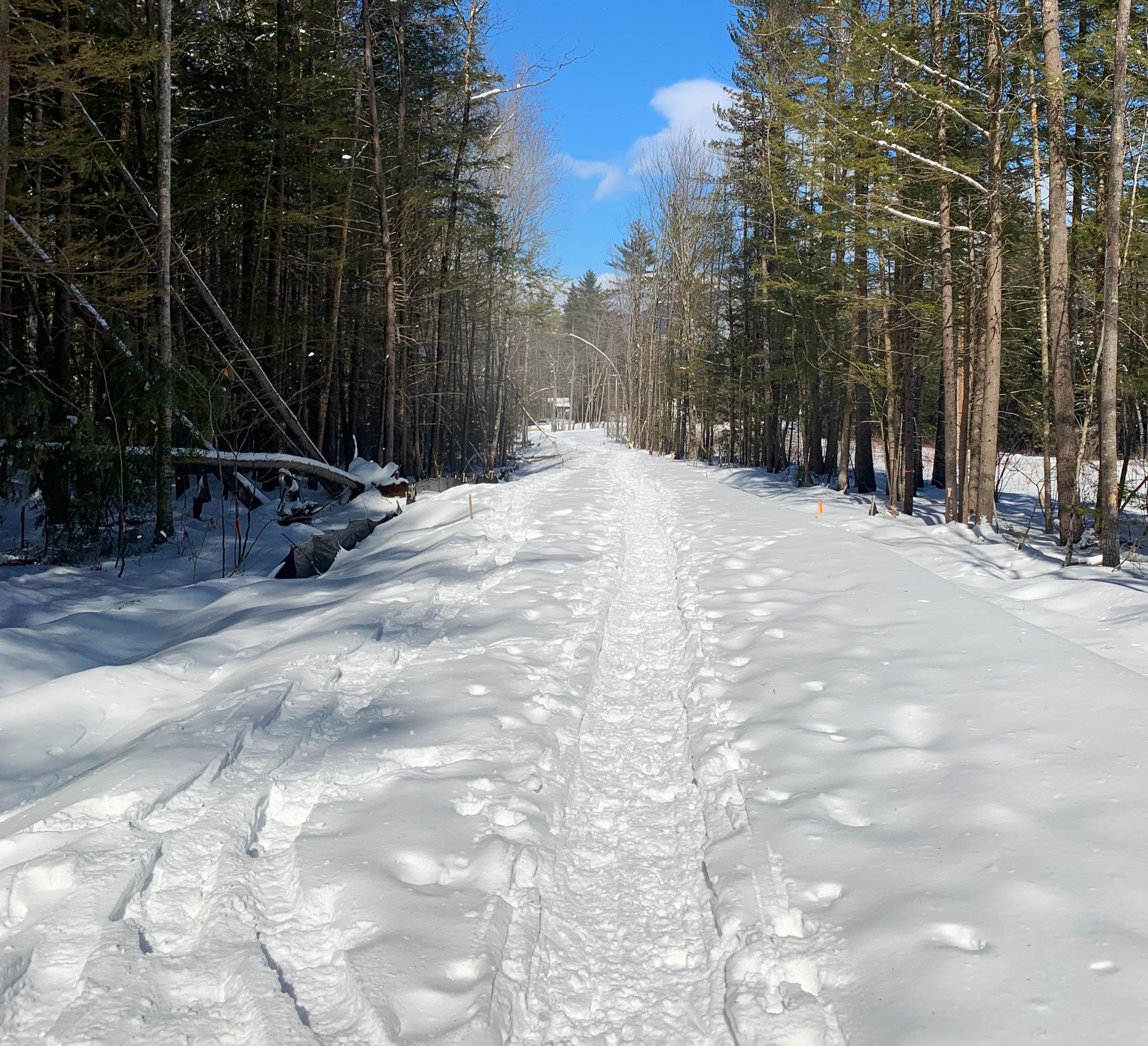
The parking lot fits about 6-8 cars and was nicely plowed after the recent snowfall. Immediately upon exiting the Subaru we saw signs which read “Trail Closed”, with other folks obviously snowshoeing and using the paths I assumed perhaps the signs were left-overs from an early mud season.
With snowshoes on our feet, we began down the old logging road 0.2-miles to the information kiosk where maps and forest information can be found, we swung left to continue along the Middle Mountain Trail (some maps note this 0.4-mile stretch as Side Hill Trail).

Middle Mt & Peaked Mt junction
From the kiosk the trail ducks under powerlines and into a brief section dense with mature pine and hemlock before giving way to more open hardwood forest. After a small brook crossing the trail begins to ascend gradually but steadily with the Artists Brook tributary remaining on hikers right (south), providing a lovely soundtrack to the forest setting.
At 0.6-miles into the hike, the Black Cap Connector bears left while our trail, Middle Mountain Trail continues straight, along the brookside. Entering the Green Hills Preserve, one can find a small sign indicating some of the wildlife they may see along their journey. Unfortunately, with all the crunching from our snowshoes and breaking trail through the fresh snowpack, aside from a passing chickadee, we saw no forest creatures today.
The path grew noticeably steeper and crossed over several short rocky sections which had us double-checking to ensure our snowshoe crampons gained traction on the ice flow-covered rocks beneath.

Middle Mountain summit
Hearing the wind in the overhead trees, we opted to venture out to our furthest point first. Continuing on old woods roads we meandered through the open forest of mostly birch, beech with some small conifers sprinkled in. Before long the narrow path crossed over the cascading brook, turning southerly and bearing steadily up the northern ridge of Middle Mountain.
With several minor switchbacks one climbs and is able to watch, through the trees, exposed ledgy areas on surrounding hillsides grow lower and lower. With aid of a small, white sign which reads, “Trail ->”, hikers follow the path to the right and toward the eastern side of the summit ridge - I thought we had a monster climb ahead of us until I saw the trail again switchbacked to ascend the more gradual, northern side of the ridge.
Perhaps my most favorite part of the hike so far - the trail swung north and began its final 200’ ascent through a most perfect stand of high elevation red pine before reaching the wooden summit sign. All of it was so perfect on this snowy, blue bird day.

Red pine along the summit ridge of Middle Mountain
In search of a better view out to the ridge of Moats across the street, we ventured a short distance onto a western-facing ledge; from here we gained a stunning view out to Chocorua (3,480’) where a haze of blowing snow tried to engulf the sharp peak.
After enduring several minutes of forceful winds, we followed our snowshoe tracks back down the ridge, an efficient combination of trail running and glissading our way back to the junction.
After a short break for tea and jackets, we began northerly, up the Peaked Mtn-Middle Mtn Connector Trail. Still breaking trail through 4-6” of fresh powder, the mid-trail rocks came right through the blanket of snow, scraping against our snowshoes. We traversed with the sight of ledges off to our right.

Heading up Peaked Mountain
In the past, the path to ascend the 1,739’ sharp point of Peaked Mt was followed to the base of the ledges, from which there was a loop trail to which the AMC noted was, “by far the more attractive and best way to ascend”. The path now is an out-and-back which climbs east/southeast from the Peaked Mountain Trail (loop trail) junction.
Passing several smaller ledgy areas which give way to beautiful views of North Conway, the Moat Mountains and Chocorua, the trail ascends ~180’ to reach the flat top summit of Peaked Mountain at 1,739’. A wooden summit sign can be found as well as a plethora of excellent views in nearly every direction.
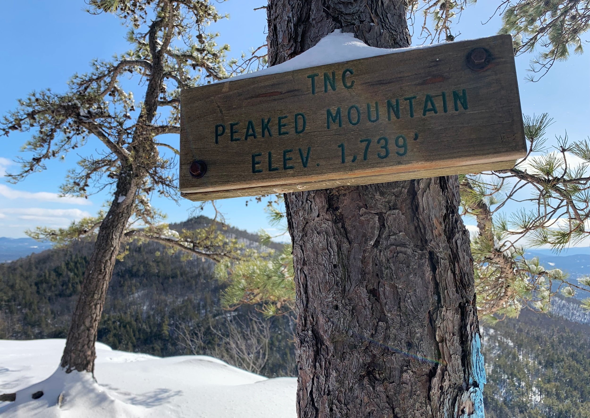
Middle Mountain visible from Peaked Mountain summit
Kearsarge and Cranmore ski resort are visible in a snap-shot framed by pine, Black Cap resides to the northeast, the contour of Middle Mountain is front-and-center to the south, Chocorua remained in a dazzling haze of blowing snow, while the Moat Mountains stretched beneath the blue skies to the west, Presidentials would have been out for photo-ops if not socked in a dense layer of low cloud cover. Many other ranges and peaks would also be visible on a clear day - I suppose that will have to wait until next time!
Over the wind, we daydreamed about how grand this location would be on a warm summers eve to watch the sunset, with a perfect sight out to the southwest peaks. The pines were all tremendously inviting and if not for the gusting wind we would have stayed longer among what felt like a large bonzai (pine) tree forest.

Looking west toward Moat Mtns, Chocorua in a cloud
While we will certainly be making many more returns in warmer weather to roam this remarkable forest, there is something about a sunny winter trek; the forest is frozen in place, the quiet becomes nearly deafening, senses are alert on a higher level. While not having the tightly enclosed spruce and fir scrub of higher elevation summit cones, there is a certain magic about tramping through the open red pine groves above 1,500’, a sense of being truly welcome and embraced by the forest. No doubt after this short hike, we have much exploring left to do in the glorious Green Hills of Conway.
Overall stats for the day:
4.79-miles
2hr 59 minutes
2,021’ elevation gain
Peaked Mountain - 1,739’
Middle Mountain - 1,857’

Kearsarge North & Cranmore Mtn from Peaked Mtn