
Mount Tammany
While only in New Jersey for a brief stay, we wanted a diverse exposure of all things natural: to see what colorful and fragrant buds spring temperatures would awaken; to see what glacial rivers could carve during eons of tumultuous trickles; to trek atop soft paths and up-turned, craggy bedrock scrambles alike; to catch glimpses of elusive woodland critters as they serenade all with morning melodies from high above, in their rich hemlock and rhododendron canopy - all this searching brought us right to the Delaware Water Gap.

Beginning the Mt Tammany Trail (Red Dot Trail)
Situated on the Pennsylvania-New Jersey state border, what is labelled a “Water Gap” in this state might be more easily recognized as a “Notch” in the mountains to New Englanders; separating rising landmasses on either side - this gorge between Mount Tammany (1,540’) in New Jersey and Mount Minsi (1,461’) in Pennsylvania cuts ~1,200’ vertically through the southern Kittatinny Mountain ridge.
While Alanna and I were merely tourists during this visit, we opted to hike a fairly common and standard, counter-clockwise loop of the mountain. While we could have chosen a simple out-and-back, we had the time and wanted to see what the various mountain trails had offer; also secretly hoping to escape off the quieter eastern side of the mountain while crowds would likely remain along the more scenic, southwestern trails.

Early, easy grade along the Red Dot Trail
Our GPS took us to the first of two parking lots, the latter being the Dunnfield Creek Natural Area which (when we visited in April 2023) offered two Porta-Potties at the large parking lot trailhead. On maps, our trailhead is simply labeled “Rest Area”, and could accommodate perhaps, 50-60 vehicles on a busy day. The dead-end style parking lot offered two bear-proof trash cans and copious amounts of gigantic carpenter bees.
With gear ready for the trek we began immediately scaling a wooden staircase along the eastern branch of the Red Dot Trail, which would guide us 0.1-miles, thus merging with the Dunnfield Creek section - we would return along this other stretch later in the day. Past tall, old oak trees which had yet to exhibit any colorful buds, the wide pathway treks over exposed roots, paralleling the Dunnfield Creek to the west, before swinging northeasterly and beginning a gradual ascent over moderately rocky terrain.

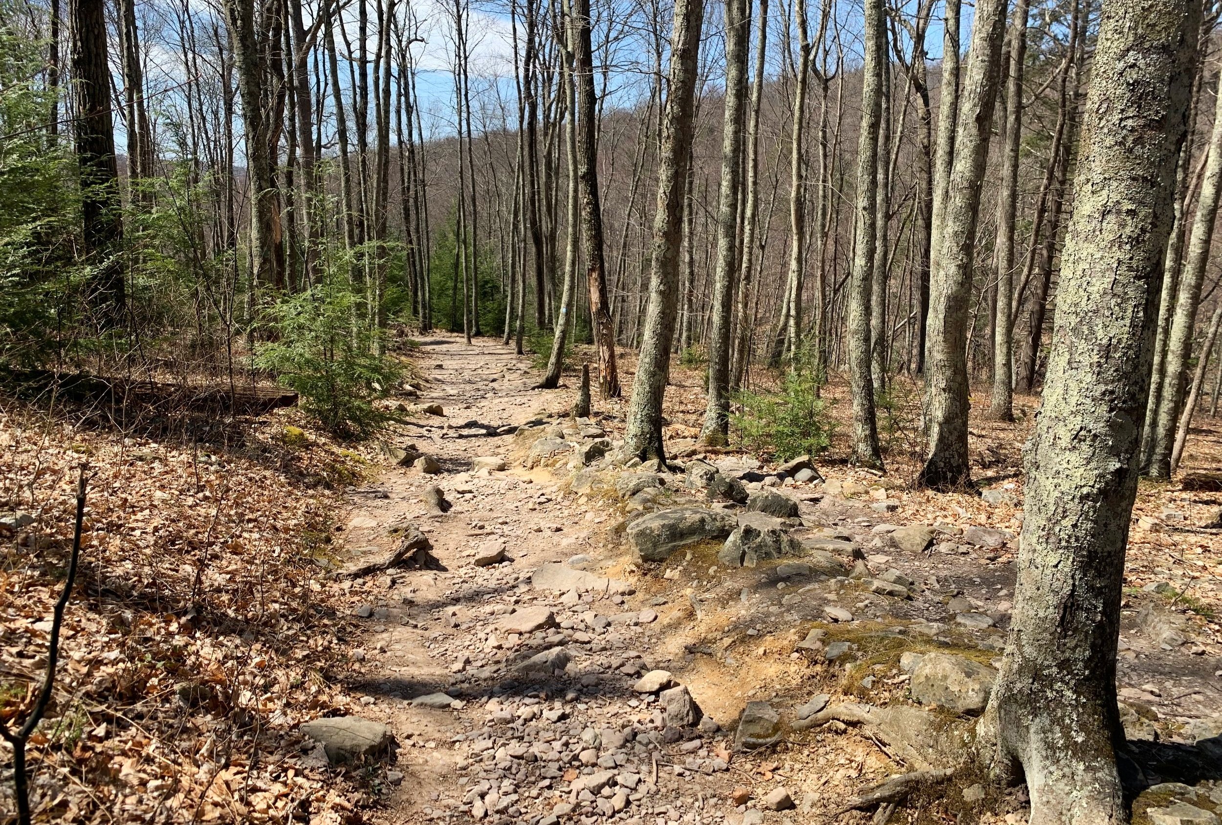
Becoming rugged underfoot on the Red Dot Trail
As we followed the red-on-white blaze of the Red Dot (Mount Tammany Trail), the path swings yet again toward the right, this time in a southeasterly direction, seemingly off and around the ridgeline itself. Climbing atop exposed bedrock, at 0.5-miles into the trek we came to the Delaware River Scenic Overlook, which afforded our first stunning glimpse into the massive gap between the mountains.

Delaware River Scenic Overlook vista
Over increasingly rocky treadway, the trail gradually ascends as it becomes framed with lush, green-leaved rhododendron bushes. Reaching the base of a boulderfield at 0.7-miles, we now made several switchbacks (following both double-blazes and arrows) up the steep and craggy terrain until reaching a short spur (herd) path toward a restricted southwesterly outlook, the main view point which is found in most guide books and maps we would find shortly up ahead.

The jumbled boulderfield nearing the summit plateau
At 1.2-miles we reached the typical resting/lunch area for most hikers in search of the esteemed views from atop the mountainous ledges, a brief downclimb/scramble can also be made here in fair weather, offering a stunning view with Mount Minsi rising up from the Water Gap below.
Three years have passed since the Rock Face Wildfire along the western slope of Mount Tammany; the wilderness constantly demonstrating its expeditious ability to regrow and heal from natural disasters such as an 80-acre wildfire. Along our hike we saw perhaps a handful of darkened trees (fire scars or sooty mold?) but vibrant life had seemingly returned to every inch of this wildscape.

Some tricky footing enroute to the summit
Departing a remarkably crowded lookout area, we reached the end of Red Dot and start of our descending route: The Pahaquarry Trail, or Blue Blaze Trail. Shortly into the near-flat ramble along the southern edge of the mountainous plateau, we came across a narrow cut in the tree canopy which provided a brief lookout to the Delaware River Viaduct; once considered to be the largest reinforced concrete structure in the world, at 1,452’-long. The bridge was built for the Delaware, Lackawanna and Western Railroad in 1908, utilizing 51,376-cubic feet of concrete in a “single-pour” technique.

Delaware River Viaduct, 2-miles away
At 0.3-miles from departing the Red Dot Trail, the Blue Blaze Trail now makes a northeasterly swing (left), while the Mount Tammany Fire Road continues straight; this fire break and access road was a result of the 1976 Dunnfield Creek fire on Kittatinny Mountain, subsequently scarring 2000-acres of forest.
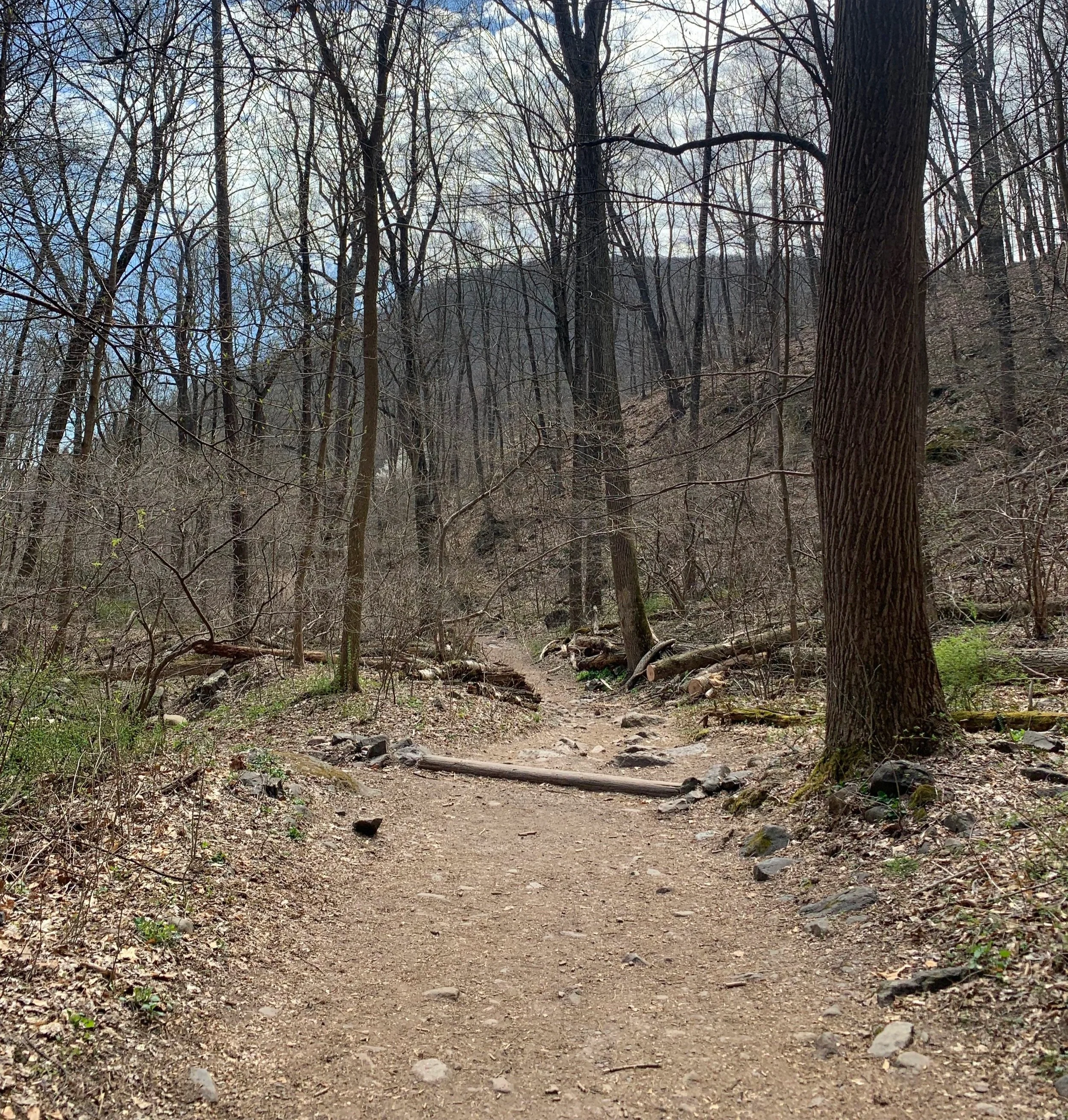
Descending the old forest road-turned Blue-Blaze Trail is often rocky with exposed bedrock underfoot as it gradually departs the crest of the mountain ridge. With patches of evergreen, the early spring canopy of the Worthington State Forest generally remains open enough to see the surrounding hillsides of to the north.
Descending the Blue Blaze Trail
Along this stretch of trail we began to pick up the aroma of campfire, hitherto we had thought nothing of the low-flying helicopters, writing the deep-thumping of the rotor blades off as merely training mission, or worse - a search and rescue in other parts of the wilderness. Later, fire rescue would advise there was a localized wildfire burning in the area and to not be alarmed, for it was under control.
At 2.7-miles, with the Dunnfield Creek in sight, we met up with the Dunnfield Creek Trail; judging by the chainsaws and fire fighting gear stowed trailside, the small blaze was likely somewhere down that trail, northeast of our location, which was later confirmed by television news reports.

Cascades along the Dunnfield Creek
As we trekked along the Dunnfield Creek, passing various occupied swimming holes and trailside park benches, it was obvious the small cascades were themselves a popular destination on a warm day. Some folks fished for lunch further downstream while another family had found a secluded nook in which to slide - down the rushing water, over slippery rock slabs before coming to a rest in calm, shadowy pools.
In 0.1-mile from merging with the green-blazed Dunnfield Creek Trail, we crossed over the creek atop a newer wooden bridge; while, on the western-side of the waterway we began following the wide footprint of an old forest road, eventually meeting and merging with the Appalachian Trail for a pleasant stroll south, back to the Dunnfield Creek Nature Area trailhead.
Along the wide-pathed Appalachian Trail
Here, we could have simply taken the Red Dot Trail back to our car in the eastern trailhead parking lot, ending the day at 3.5-miles. Since we had grown a fondness and appreciation for the Appalachian Trail and its thru-hikers while providing Trail Magic back in New Hampshire, our home state, we wanted to find one more iconic location prior to departing for the day.
Following interspersed white-blazes which denote the Appalachian Trail, we made our way south and onto asphalt which would guide us to River Road, trekking under Interstate-80. What was evidently once a more difficult stretch of AT for hikers to locate now featured hand-painted signs and blazes, arrows indicating the appropriate direction to hike whether northbound or southbound.

If you can interpret this, you may just be a thru-hiker
Our ramble along River Road was a pleasant one, several cars passed but as it was the off-season and National Park’s had yet to open their doors, picnic areas and parking lots all remained desolate - devoid of recreationists. We passed two gentleman who were hustling north, both with traditional AT hang-tags dangling off their packs; both men smiled and waved enthusiastically as we all passed, looking as happy as any hikers we had ever met anywhere.

Delaware Water Gap Toll Bridge - AT footpath
At 0.8-miles from the trailhead on the northern side of the Interstate, we located a ramp which would escort us into a narrow pedestrian lane. Four-lanes of highway to the right with a large drop into the Delaware River to our left, either side featured a waist-high wall to keep us in our lane.
Reaching the Pennsylvania-New Jersey state border, we found what we had been searching for. Painted on the concrete sidewalk atop which we trekked was an orange, green and white sign indicating distances to and from both Mt Katahdin in Maine and Springer Mountain in Georgia - we were a long way from either destination.

PA/NJ state border along the Appalachian Trail
Satisfied with our extended hike, Alanna and I turned to trek the AT north, back to our car. Hand in hand, several big rigs honked for us - for all they knew we could have been hiking 805.6-miles to the summit of Mount Katahdin, far off in Maine.
Overall stats for the day:
5.86-miles (including a post-hike AT ramble)
3hr
1,598’ elevation gain
Mount Tammany - 1,540’