
Mount Deception
During the duration of my ascent to this trailless 3,671’ summit I had a lot of time to ponder the origins of this mountains name; as I snowshoed along I had the notion, perhaps it was named for the bands of exposed rock - a rather steep southwesterly ascent up a mountain, which, from a distance appears to be a friendly, gradual climb. Then I thought about the early mountaineers being swallowed by the large amount of coniferous blowdown but realized, perhaps these trees remained upright during those early ascents.
Once above the exposed granite ascents and through the floor of tangled, toppled trees with up-turned root balls, I stood proudly atop the high point - turns out this was only the west peak, I could see the main peak off in the distance, 0.5-mile away, “this must be the Deception”, I concluded.

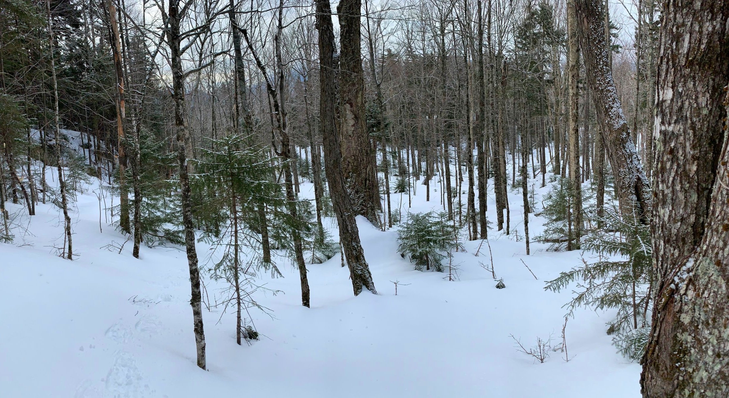
Upper Honeymoon Trail
Turns out there are various tales of how the name came to be; according to Mr Osgood’s 1876 guide White Mountains, his version told of a group which had set out intending to climb the nearby Mount Washington, only to end up on this lower peak. Either way, it was a fantastic climb and a tale I’d like to recount for you.
When I awoke this morning I never had the thought of Mount Deception on my mind, so research into the bushwhack was basically minimal, nearly on-sight. I had perused a few reports a while back from other bushwhackers, most of whom ascended the mountain by way of Cherry Mountain Road and several campsites on that road, to the west. There was an old trail which climbed Mt Deception from this area, listed as in use into the 1969 AMC White Mountain guidebook.
Staying in open woods along rocky cliff bands
As the forest roads are still gated and lost in a thick layer of powder or repurposed into snowmobile trails for the season, I was intending to hold off attempting this bushwhack until after the spring thaw. Well, that plan went straight out the window when parking arrangements for my initial plan this morning fell through; I had actually been looking into the feasibility of ascending from the south, but wasn’t entirely serious about the attempt until just after sunrise this morning.
Pulling onto Base Station Road in Bretton Woods, I had a stunning panoramic view of the white-capped Presidential Range with Mt Washington (6,288’) standing front and center. Finding a plowed shoulder lane near the trails which enter the forest to the north, I pulled in with plenty of room and prepped all the regular winter gear.

Icy daggers drip from the exposed rock face
At 8:01am I locked up and began my morning trek along the Upper Honeymoon trail, packed out by snowmobiles as well as recent snowshoe and ski tracks, but the trail appears to be used by bikes in warm weather months.
Passing by a frozen boggy area, the degree of recent blowdown was unlike anything I have found elsewhere in the White Mountains recently - dozens of conifers had been freshly cut and cleared from the pathway. I was in awe at just how dense the evergreen wall lining the edge of this trail was. I was content moseying along in search of more open woods in which to depart trail and begin bushwhacking northeasterly, toward Mt Deception.

One of the many blowdown patches along the SW ridge
At ~0.8-miles I found favorably open hardwoods to my liking and left the packed trail behind; the snow remained tacky and supportive albeit a thin, 4-6” covering around 2,000’. Weaving around fallen tree trunks and massive boulders, the trekking early on was pleasant and easy going.
Nearing 2,400’ I could begin to see ~30’ of exposed rocks, the lower bands were draped in lovely icicle chandeliers, appearing like hanging daggers from the cracked granite. Following these bands toward the north, I managed to skirt around the steeper rock scrambles, trading bare granite for a snowy ascent with the occasional spruce trap.
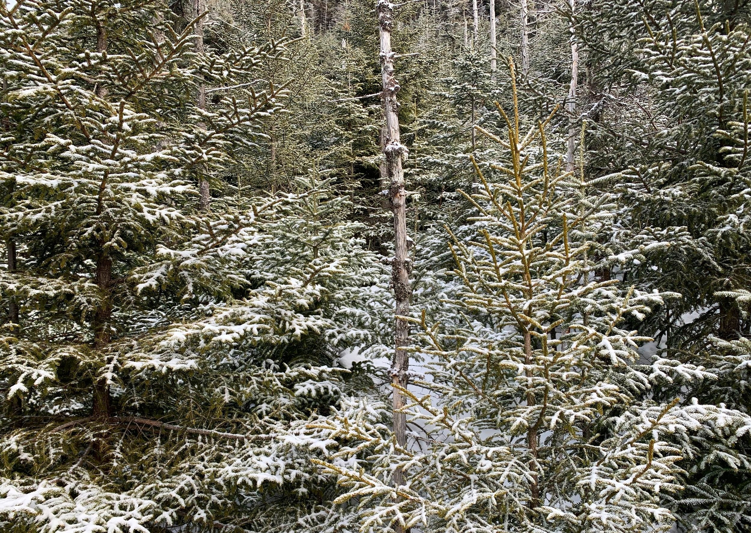
Stuck in a coniferous hell
While arcing northwesterly around the exposed rock faces, I found the travel fun and exhilarating, taking in the early spring sights and sounds of open conifer forest. Then, upon popping out of a semi-thick blanket of balsam boughs there stood a sheer cliff; 50-60’ of grey rock slab staring me right in the face.
Needing to find away up, around or through this obstacle, my quick search produced a steep-angle chute which I thought could do the trick. Thankfully the snow crust remained solid, kicking steps gained all the traction needed for the ascent but just to be safe I had my ice axe and clung to the base of solidly rooted spruce nearby.
I was very happy to find myself at the top of that ledgy section, unbeknownst to me at that moment I had another similar scramble coming up in just several minutes. For now, though, I’d pause momentarily, in amazement of the views that were now coming into view as the distant, flat landscape grew lower; Bretton Woods ski village now came into sight, every streak of white ski route demonstrating just how they can claim to be New Hampshire’s largest ski area.

Tracks through an enjoyable forest
Through a tight patch of pencil-like spruce I came upon the next major ascent, similar in pitch but this was more of a v-cut in the hillside, more snow to kick snowshoe steps into - I was really beginning to appreciate the variability this mountain was throwing my way thus far!
Once atop the steep scrambles of Mount Deception I angled onto an easier grade to strike the summit by ascending in a northeasterly direction. From a patch of dense blowdown (easy to walk atop the fallen logs today, as they were half-buried in deep snow), I could catch a good view of the coming climb up the final sprucy knob.
What I trekked into was one of the most mind-bogglingly dense patches of 10’ fir trees with 3-4’ of evergreen traps which ensnared my snowshoe with each seemingly bottomless step; I could not help but laugh at my circumstances even further when the balsam branches began raining down frigid powder - this was a whole different side of bushwhacking.

Nearing the summit
With no other option I pushed through, inching slowly through the mess - I got myself into that mess, I must get myself out. The end did eventually come around, I exited the young growth for some of the thickest spruce-twig forest I had ever encountered.
Sparing the details of swimming through that dense canopy, tight forest soon gave way to a more open, delightful conifer grove, which I followed into the sunshine and up to what I believed to be the summit. Upon arriving at the lookout I could see that I had arrived at the West Peak of Mount Deception at 3,661’ - the main peak rose up from what seemed to be miles away (really only 0.5-mile).

East Deception from the West Peak
I prayed to anyone or anything who might be listening for easy going forest to guide me safely over to the true high point of the mountain, for I had enough of the spruce traps and thick junk for the time being.
It’s safe to say, perhaps someone heard me; as I trekked through the col, onward and upward to reach the 3,671’ summit of Mount Deception (East Deception) I could meander through a glorious, totally spacious forest - still copious amounts of blowdown patches but those were easily stepped over with this deep, weight-bearing snowpack.
After a good sip of warm tea at the true summit, I roamed around some old moose tracks, a moose bedding area, through more spruce traps, through open forest, dense forest - looking for the summit register to log my ascent. I could not locate this summit log anywhere that I searched, finally I committed to the idea that perhaps it was still attached to the half-fallen tree (as was reported 2022) and buried under the deep snow layer, perhaps a hunt for another day.

A very socked in Presidential Range
While retracing my steps back to the western summit, snow began to fall and the sky turned grey as a mammoth-sized cloud blew in and overhead. With a brief reprieve before officially diving back into forest, I paused to gander at the Presidential’s, whose tops were socked in a dense cloud layer - the view panned through the forested side of Crawford Notch and ended with the Bretton Woods Ski Resort.
With the super-dense balsam swimming I had just executed, I cringed at the thought of re-entering that mayhem. Momentarily I left my snowshoe tracks and refused to depart the mellow, open forest in which I stood. I was very satisfied to have found pleasant woods continuing along the northern edge of the scrappy, young growth.

Crawford Notch with clouds lingering
Very pleased to have avoided that claustrophobia-inducing coniferous trap, I was able to angle more south as the forest ahead and to my left opened up, eventually meeting back up with my ascending tracks, which I would continue to follow for the coming 1.5-miles, through both sections of craggy, steep scrambles; oftentimes picking up the pace while meandering down-slope through the narrow route of tight canopy.
Departing my tracks once again, I continued in a due south direction this time, cutting off an unnecessary 0.25-mile from my hike in. Following this new direction I happily stepped back onto the packed snowmobile trail which would guide me back to my car.
For this trailless mountain being a completely unplanned surprise at 8am, it certainly turned out to be a fantastic climb. While this route is clearly not for everyone, its steeper sections were chockfull of consequence, should a snowshoe lose traction. I feel as if it was all well within my comfort zone and even pushed beyond what I’ve done in the past while bushwhacking - not the thick sea of balsam growth - that shit is for the birds; the steep pitches, though, I’ll happily take those all day.
Happy Climbing!
Overall stats for the day:
6.75-miles
3hr 51 minutes
2,569’ elevation gain
Mount Deception, West Peak - 3,661’
Mount Deception, East Peak - 3,671’