
Mount Davis (PA High Point)
Located in the Forbes State Forest of southern Pennsylvania, this wooded state high point offers a lookout tower at its 3,213’ summit for hikers to ascend, and obtain a stunning vista of the surrounding, rolling mountainside, from above the dense hardwood canopy which blankets the high point of Mount Davis.

Departing the Mount Davis picnic area
The trailhead to hike Mount Davis can be found in Amish country; as horse drawn canvas buggies commute along the rugged shoulder of windy Pennsylvania back roads, elevation is gradually gained as one drives closer to the Mount Davis Natural Area, where a large visitor parking area can be found.
Occupying an old Civilian Conservation Corps work encampment, the area also provides a vast, grassy lawn with various shade trees for those wishing to stay at lesser elevation for a picnic. Vault toilets are also located near the parking area. In looking at the map, it is possible to plot a larger loop to trek around the network of hiking and biking trails. If driving from the west, the parking area is just beyond the large “Pennsylvania State High Point” sign, at the height-of-land; conversely, if driving westwardly, the parking area will arrive prior to the blue highway sign. Parking (for Mount Davis) is located on the south side of Mount Davis Road.

Old CCC roadbed of the Mount Davis Trail
After a quick visit to the information kiosk, where visitors can find rules and regulations for the park, hours in which to utilize the facility and its trails, as well as seasonal insect and wildlife information. The hiking trails can be found along the western edge of the picnic area, if approaching from the road, look for a gate blocking the old CCC road. However, the trails can also be accessed from within the picnic area, by following brown painted signs with white lettering, denoting the High Point Trail.
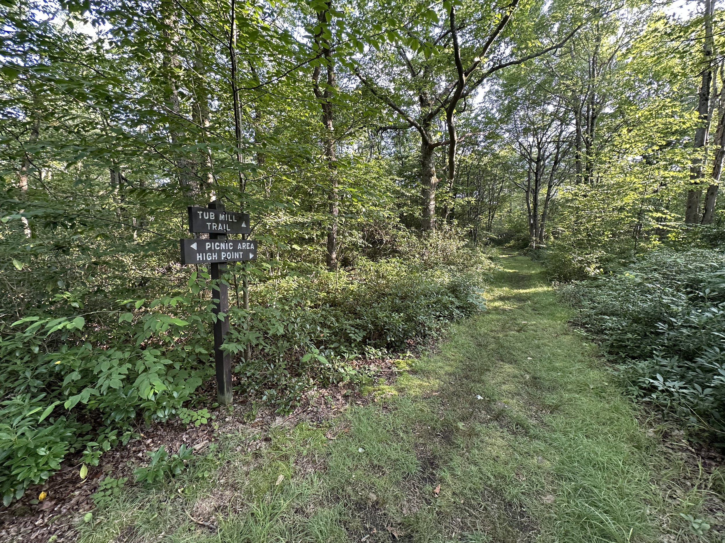
Passing the Tub Mill Trail junction
As we roamed Mount Davis, and explored this area in early August, trailside ferns abounded - either side of the wide, old roadway burst to life with lush, green fronds. Some rocks emerge from the roadbed surface along with tufts of grass - protection against ticks is a must during most of the year around here.
The footpath consists primarily of compacted soil with occasional rocks, which more-or-less act as steppingstones, and perhaps less of a tripping hazard. Gaining an imperceivable amount of elevation as the wide trail cuts through the lush understory, the dark soil of the footpath contrasts strikingly against the viridescent sea of low vegetation, even the oaks were bursting vibrantly with its verdant foliage.

Nearing the imperceptible high point
Trailside soon becomes bushy, further enveloping, and sheltering the graded pathway as it weaves through the hillside toward our high point. At 0.2-miles into the short trek, the Tub Mill Trail diverges east, this link often used for a longer loop hike around the State Forest trail network. We continued along the Mount Davis Trail, stopping often to admire trailside mushrooms or other interesting species we might not encounter back home in New Hampshire.
As the footpath draws tighter, losing its familiar, old road corridor appearance, the footway becomes somewhat sandy as grasses tighten their grasp on the path. Nearing the ultimate high point of Pennsylvania, the Mount Davis Path becomes rather rugged and rocky underfoot. Angled boulders haphazardly comprise the trail, forcing hikers to remain diligent to proper foot placement.

Various survey markers adorn the state high point
With an elevation gain of just over 60-feet, it is a strange sensation to now be standing atop the 3,213’ high point of the state. The summit area is best described as a low dome; a near-level plateau with rock slabs and boulders residing higher than others. The forest canopy grows high overhead now, as it began to open up skyward back along the final several rods of the Mount Davis Trail; the summit of Mount Davis is densely vegetated.
A network of pathways provide access to various points of interest around the summit area; kiosk displays inform the hiker as to local history, facts and lore - posted nearby was a notification advising viewers that the cast displays were currently being updated to reflect more up-to-date vocabulary and ideology.

Mount Davis lookout tower was closed for renovations
Roaming briefly around the mountaintop, we were able to locate several geological survey benchmark discs, as well as a bronze bolt placed in what was determined to be the highest point of bedrock atop the mountain. To the west of the hiking trails, we found the observation platform; unfortunately for this visit, the tower was under renovation, and completely fenced off and Posted to keep state high point enthusiasts off its steps.
We could imagine the view from high would be top notch; if one could situate themselves above the forest canopy, to gaze at the rolling, forested mountainscape - no precipitous, exposed, craggy summits to be found here, just softly rolling, green hillside. Perhaps next time we will catch the tower open, and all the views from which abound.

One of several older information displays at the summit
The summit area and observation tower are also accessible by vehicle, via the South Wolf Rock Road, which can be found just west of the signed height-of-land, back on Mount Davis Road.
Before leaving the summit of Mount Davis, we observed the Shelter Rock Trail departing as well, heading southward at first, then switching to an eastward trajectory, eventually connecting the lowlands of the eastern Forbes Natural Area trails; this path provides the link for a longer, loop hike around the State Forest.

A wide, old roadway provides fine biking or walking surface
Opting to simply follow our ascending tracks along the Mount Davis Trail, we traipsed initially over jagged, angular rocks, which soon mellowed out to a nicely graded, grassy, old roadway. While not a terribly long excursion, with good footing, minimal elevation gain, and a short trek terminating at a beautiful picnic area, this is a great hike for novice trampers looking to dip their toe into easier wilderness travel.
It may behoove the reader to investigate prior to visiting the Pennsylvania state high point as well; to check whether the observation tower has been reopened to the public. While the forest is a stunning environment in which to roam regardless, certainly the excursion would benefit from a 360° panoramic vista.

Roadside signage for those non-hikers
Within walking distance of the Mount Davis Natural Area, a massive reflective sign adorns the southern side of Mount Davis Road at the height-of-land. Between the roadside sign and Mount Davis trailhead/picnic area, a secondary parking area is found which provides parking for those wishing to explore Baughman Rocks - an interesting tale of tragic, familial murder stains these woods.
Overall stats for the day:
2.1-miles
1 hour (15-minute summit allotment)
151’ elevation gain
Mount Davis - 3,213’