
Mount Cube (Trail)
The Mount Cube Trail is noted as being one of the less-scenic routes in which to ascend the 2,909’ peak, but on an overcast kind of winter day it was just right. While a resident living in an off-grid cabin at the base of Mt Cube’s southern neighbor - who also happens to be along the Appalachian Trail - Smarts Mt, I began exploring the eastern Connecticut River Valley and its network of trails.
This trail was my introductory route up the mountain and, while I enjoy all paths on this peak, I always find myself returning back for all the splendors the Mount Cube Trail has to offer - in every season.

Trailhead signage
Originally cut in the mid-1980’s as a relocation to the former Appalachian Trail further east (descending the northern ridge), the Dartmouth Outing Club (DOC) cut the path from the Orford-Wentworth Highway, also known as the Gov. Meldrim Thomson Memorial Highway, or perhaps known these days as simply NH 25-A, away from private land of The Mount Cube House; from whence the trail began prior relocating further east.
There is a decent-sized parking lot just past the actual trail, which is typically plowed in winter. The AT/Mount Cube Trail begins a few paces back along NH 25-A, to the west; keep an eye out for white AT blazes and the brown/yellow USFS signage.
Mount Cube Trail
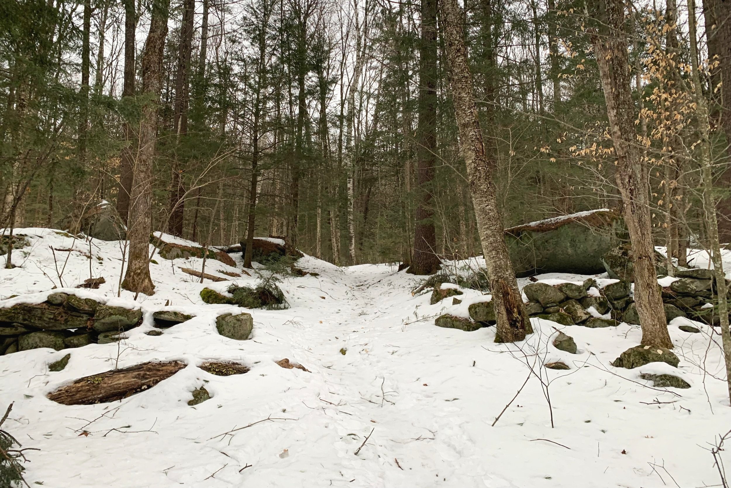
Upon entering the woods one finds pink “wetland” surveyors tape marking trees where, just slightly east through the woods, Brackett Brook drains into Lower Baker Pond. Utilizing an old woods road, the path ascends gradually and in a fairly straight direction, cutting through an old stone wall amidst a lovely hemlock grove.
At 0.5-miles into the hike a gravel logging road is crossed and the trail re-enters a primarily hardwood forest until reaching several minor Brackett Brook crossings, the largest of which is crossed at 1.5-miles. Leading up to this crossing, several old logging roads can be found - especially in winter, before understory plants fill in with new, lower growth.
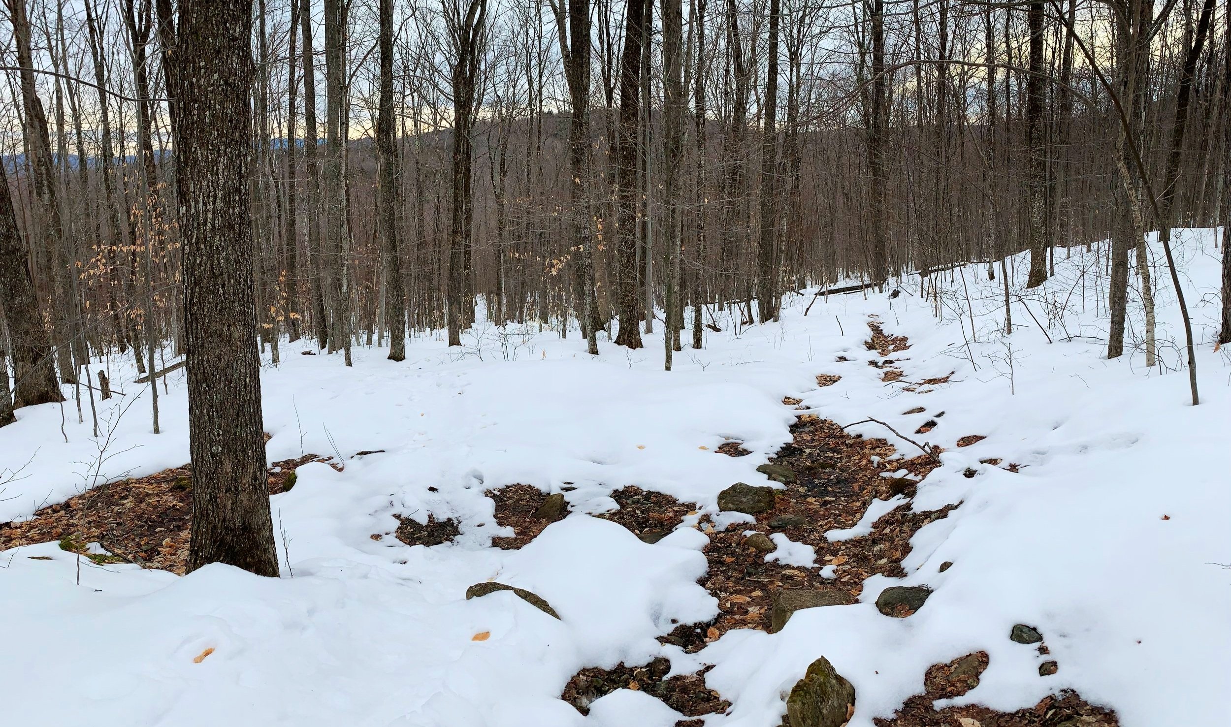
Hardwood forest ~1,500’
This crossing can be tough in times of high water but following several days of below freezing with warmer temperatures I was able to traipse across the brook on up-lifted blocks of ice and snow; while somewhat precarious with water rushing underfoot, the surface was abrasive enough and relatively easy to cross today.
Following the final crossing of Brackett Brook, the Mount Cube Trail now swings in a northwesterly direction for about 0.8-miles. Here, in times of warmer weather (the trail was covered in snow today), new stone-work staircase projects began Summer 2022 which greatly help alleviate some of the erosion and chronic muddy trail.

Spruce grove atop Mt Cube
Shortly after the first switchback, the trail swings generally south for 0.25-mile while passing several massive old-growth white birch trees, one of which clings tightly to the top of a large boulder.
Reaching about 2,300’ the path swings yet again, back northwesterly as it transitions from mixed forest into predominantly spruce and fir - which is highly delineated and visible while driving on NH 25-A, just below the towering northern shoulder.
According to the 1992 edition of the Dartmouth Outing Guide book, the upper “section of this trail, completed in the fall of 1987, was cut extra wide to accommodate backcountry skiing.” The path continues to meander through several short, recently rerouted sections, soon with pencil-like spruce and fir hugging in tight.

Intersection between North + South Peaks
Reaching the North-South Peak col, hikers come upon an intersection - South Peak to the left with North Peak to the right. This is also near the location where a DOC primitive shelter stood until the mid-1960’s.
To the left, toward Mt Cube’s south peak, the path rolls over exposed rocks and roots - today, however, my path was smoothed over with hardened snow crust. One final push up a minor bouldery-scramble brings hikers to the exposed pink and grey quartzite rocks which streak the summit, making for a fine lunch break with views to Smarts and its J-ridge, the Dartmouth Skiway, Ascutney, Killington and onward into the Adirondack mountains of New York, on a clear day.

3,238’ Smarts Mountain
From here, hikers can return the way they came to the base of the mountain or proceed to the west along the Cross-Rivendale Trail (which follows much of the former AT route) or south along the Kodak Trail which is the current AT and eventually connects to the J-Trail in which to ascend Smarts Mountain.
As the cold February rain was now falling, I took several minutes to soak in the sights, found the USGS marker - which I thought on my previous ascent had been stolen and kept as a souvenir (thankfully not), and returned back to the junction with the North Peak in mind.
For about 0.3-miles the path meanders through a spruce grove and over narrow quartzite ridges with small cairns marking the way. Several open ledges are reached affording excellent views of Sunday and Piermont Mountains up-close with Moosilauke, Carrigain and the Osceola’s in the near distance (and of course, many more peaks to be picked out on a clear day) - simply stunning rewards for such an enjoyable trail.

Views from Mt Cube’s North Peak; 2,880’
While on Mount Cube, I have come upon bears and moose - generally, they just want to go about their way - just the same as I want to mosey down the path onto new sights and destinations of my own.
Wintertime is an interesting time to visit the mountains, with proper gear it can be rewarding to gaze at, and guess who’s tracks you see in the snow - skunk, coyote, grouse, moose, bear? While the forest can appear to echo with quiescence in the still of winter, our senses can grow in-tune to a different set of observations.
The Mount Cube Trail will forever stay on my to-do list, I enjoy visiting while the forest is cloaked in white; or to smell the freshly defrosted soil and see buds bursting bright green in springtime; or even to watch the beech leaves cling tight, dancing upon the slightest breeze once the maples and birches have all dropped their colorful leaves for another round.
Many thanks to my local bushwhacking, trail + mountain running friend, Chris Gothberg for providing important details of, and sharing so much trail-time along one of his favorite peaks.
Overall stats for the day:
7.19-miles
2hr 33minutes
2,749’ elevation gain
Mount Cube - North Peak - 2,880’
Mount Cube - South Peak - 2,909’

1992 DOC map