
Mount Clough
Often overlooked for the trailed 4000-foot neighbor to the east, Mount Clough is a long north-south ridgecrest located just west of Mount Moosilauke. Hiked, or better yet, bushwhacked for the first instance back in 2021, I was then, new to the world of off-trail travel; still relatively fresh off a finish of the New England 115, I found myself visiting high places with new names - I had been introduced to the New England Hundred Highest hiking list.

Beginning along Long Pond Road (FR 19)
After checking records, it appears that I bushwhacked Scar Ridge the day prior to visiting the steep, densely wooded slopes of Mount Clough back on that 2021 day, so, perhaps not completely new. Following that 2021 ascent, I drove home riddled with wounds, for I had hitherto never encountered such tight knit spruce, nor entangled evergreen boughs of young balsam fir - at least that early ascent was not attempted in winter!
Needless to say, I was hooked. I loved practicing the art of off-trail woods travel; deeply enjoying the moments spent in the mountains, and generally venturing where most did not dare; plus, I enjoyed picking my way (which were actually routes I crafted up, thanks to hours of tireless recon and research on past ascents) up the mountainside. Since topographic maps and past trail(less) reports can only depict so many features in any given detail, it was a fresh, new-to-me game of playing the noble explorer.

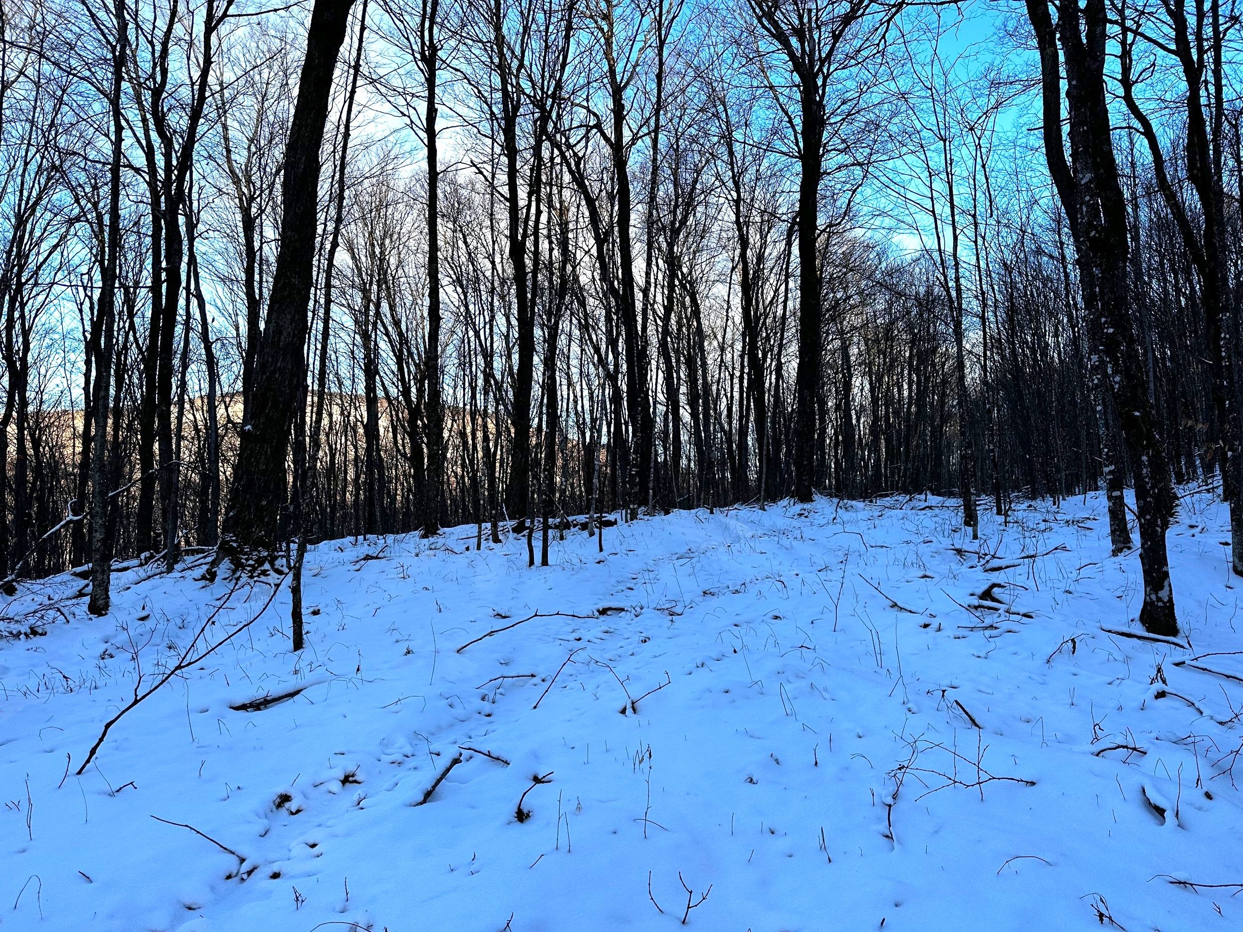
Gazing SE, the bulk of Moosilauke becoming visible
Back in 2021, I ascended what I had researched to be a fairly “standard” approach to bushwhacking Mount Clough, by following the Tunnel Brook Trail northeastwardly around the trailless peak for a spell before departing from maintained pathway, trekking a nice and open, easy to meander, hardwood forest down low. I knew the conifers were waiting for my arrival near the summit; perhaps I had been exposed to the term “fir-wave” but had yet to experience the inner workings of such a blasphemous mountain feature.
A faint, old skidder roads can still be found on the SW ridge
Fast-forward to present moment: winter conditions. I had my reservations about hiking down the Tunnel Brook Trail as I had once before been turned around due to the initial crossing of Jeffers Brook; higher along the trail, Slide Brook is crossed several times before reaching the point where I entered the timberland. I needed a different route up the mountainside, one without water crossings, as we are apparently in the third month of “shoulder season”, with icy waterways having a certain blue-green hue, indicating the frigid water is a partially frozen slurry, not quite ready for safe passage.
Why had I never thought of ascending the southwestern ridge of Mount Clough? As far as I could recall, the thought had never crossed my mind. With reports of our abysmal snow conditions, however, being conversely a “bushwhackers dream”, now seemed the best time to revisit a favorite local ‘whack.
Have I found myself back on Jeffers Mountain?
Tires creaked at 7am as the fresh inch of powder which had fallen overnight became compacted; afternoon skies had been sunny, naturally, I hoped the warm daytime temperatures relinquished the overhead snow plumes from dreaded conifer boughs. At 7:13am, the Subaru was locked, and I was placing boot tracks back down High Street with snowshoes in hand.
It was no surprise that the gate on Forest Road 19 was closed and locked; this time last year, Long Pond Road was a regular winter highway for logging trucks, as they had been harvesting timber from the northeastern slopes of Mount Clough. The only recent tracks I could see were one set of boot prints which veered off toward Blueberry Mountain. I continued following what looked to be a drunken fat bike track meandering northward along FR 19, toward my objective.

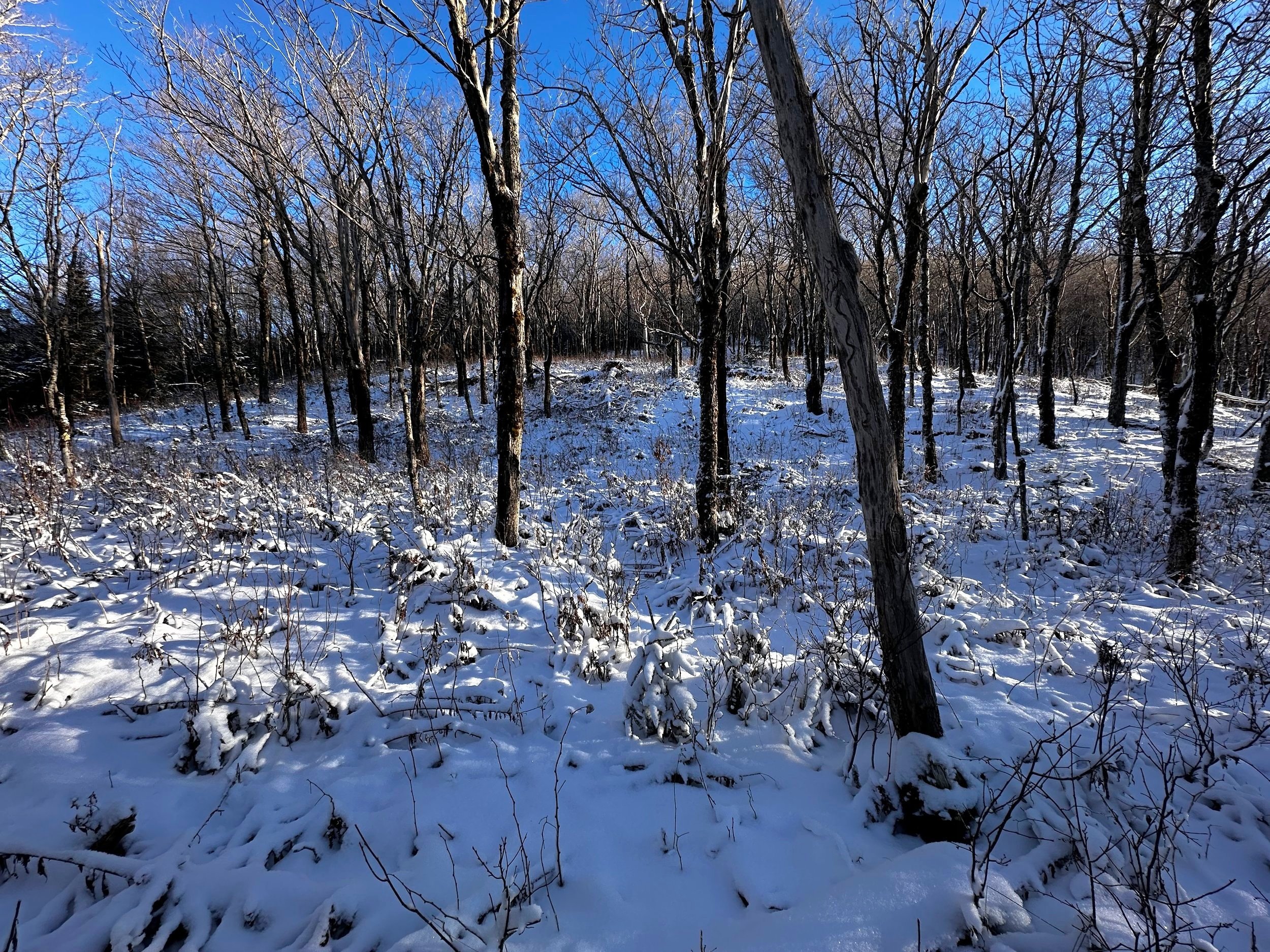
Entering the coniferous cap of Mt Clough
With maps spread across the desk and a multitude of tabs open on my laptop, I noticed that the universe offered a beautiful opportunity to enter the woods through a narrow window while Jeffers Brook traced the westside of the forest road. For a majority of its course, Jeffers Brook follows along the eastern side of the roadway, consequently, directly between the approach road and Mount Clough.
Determinedly, I plotted that it made the most sense to embark into the mountainside as I reached 2-miles into my trek. An inch and a half of unbroken powder blanketed the forest road, that with the absence of ice beneath made for quick and efficient travel to get the blood flowing despite the crisp, 17° morning air.

Popped out for a quick look-about
Enjoying the sight of Jeffers Brook now following the left side of the road, I passed FR 415, wondering if it might be of some use to me, perhaps another day. Within eye shot of the brushy, old logging road, I scanned the shoulder of the road, up ahead it was obvious that the embankment grew steeper. Assuming my best option was to don snowshoes now and enter the woodland, I did just that. Snowshoes came along for the ride, essentially to provide a wider footprint, knowing that snow depth alone would not warrant the use of snowshoes, my goal was to not roll an ankle on hidden logs or other snow-covered forest floor debris.

Young fir, getting thick!
A quick scramble up fallen leaves brought me to a brief wall of balsam fir, thankfully, this impediment was thin, perhaps two trees deep. Pushing through, I was greeted to a secluded, low-angle ridgeway of hardwood - the graciously open forest provided a glimpse of the coming climb, snow could be seen far up the mountainside, which, to my bushwhackers’ mind meant clear-sailing for the foreseeable future!
Down low, along the southwestern ridgeline, a short 40’ ascent often opened back up to a near-level tableland of sorts, pleasant strolling through the mountainside. Making decent time through the hardwoods, I stopped at one point to gaze at something which exhibited a suggestion of familiarity - a skidder road. The wide corridor was plain to see as it cut straight through the sea of narrow beech and birch trunks, the logging slash underfoot was another clear give away to this mountainside’s past.

Pick a direction and hope for the best!
There was no denying that nearly the entire mountain slope where I stood had been felled (indicative of selective harvesting, not clear cut), perhaps 15-20 years ago, from what I could best guess, long before I had been a New Hampshire resident. Navigating the open hardwoods of lower elevation was easy enough without being handed wide logging and skidder roads to follow, just an added bonus. Several small, meandering waterways traced a path of least resistance across the near-level forest floor, these were all easily stepped over; one other wide waterway, which was essentially a boggy, old skidder path, was crossed on conveniently placed logs - as if someone had come before me and was faced with the same soggy issue.
Transitioning to a stunning birch glade higher up along Mount Clough, I immediately turned northwestwardly, to cast an inquisitive eye toward Jeffers Mountain, to ensure it remained there across the valley, as this now felt as if I had been transplanted atop the highly enjoyable, birch glade ridgeway. I was brimmed with the sense of fortune after proving to myself that the suspicions of hardwood forest I viewed on the satellite map the night prior, were spot-on accurate.

Summit of Mount Clough
The hardwood forest along the southwestern ridge of Mount Clough stretched up to the 2,900’ point; nearing the softwoods, I could observe the dark green boughs off in either direction before they inevitably enclosed in above. Pushing through one quick patch of 4-foot tall, stout fir trees, they were as rigid as rebar when I tried to push through. To protect the Gore-Tex fibers of my jacket, I gave the dwarfed Christmas trees a wide berth, as I also wanted to bring my gear home in one piece.
Above 2,900’, I began scaling a rather steep, snowy slope, glancing back occasionally as the lovely birch glade became a distant memory. Through a relatively open spruce forest, occasional toppled conifers were encountered, their long-dead, spindly branches forcing a brief reroute to veer well around the stiff tangle of branches.

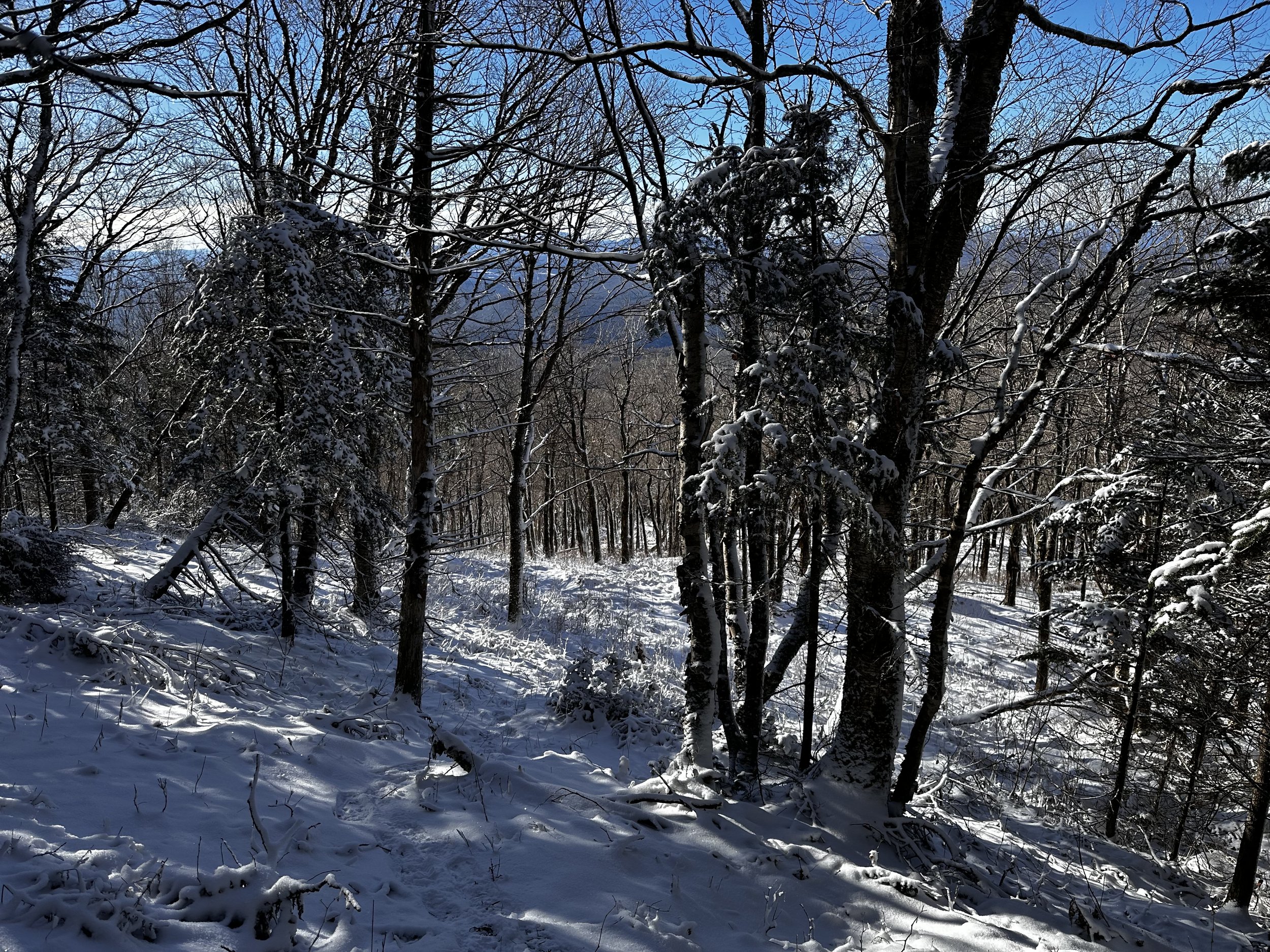
Herd path corridors radiate toward various outlooks
Knowing that I would encounter the whirls of fir-waves nearing the high point, I began trying to navigate a route eastward, around localized stands of very much alive fir trees, opting to remain low, weaving through a sea of older conifer trunks, whose low branches were a bit more forgiving, enabling slightly more efficient locomotion along the mountainside.
At one point, I had myself convinced that I had tracked around the mountaintop to such an extent that I presumed myself to be atop my 2021 ascent route - looking back at my track up Mount Clough, I now see that I was nowhere near the southeastern side of the mountain! How disorienting swimming through waves of fir can truly be! After checking my bearings to ensure I would not shoot around, or up and over the high point, I weighed options of trying to extricate myself from the entanglement of fir boughs, but as I knew the summit was near - I pushed through, harder than ever. Luckily, with the mediocre depth of powder at elevation, the spruce and fir traps had yet to begin their trapping!

A different way down: less fir-wave = more fun
Persistence paid off today as I rolled my body through the last of the dense fir boughs (similar to a carwash?) and exited out into the boreal glade which I recalled and loved so much - now to locate the actual high point of this little, 3,561’ mound.
With snow both on the ground and blanketing the canopy, it becomes hard to determine if the apparent network of paths radiating from the recognized high point of Mount Clough are of human or moose origin; I distinctly recall seeing large amounts of moose activity while here in October, several years ago. I did see several moose tracks on today’s descent, lightly dusted, indicating them to be a day or two old, but on the westside of the mountain? Probably trying to navigate themselves around that treacherous tangle of fir waves as well!

Tight, but not fir-wave tight
With relative ease, the summit register was located - however, its location on the highest tree is, I feel, debatable. Dusting off a fresh blanket of snow, I relinquished the PVC canister, having concluded that either the screw cap was seized or simply frozen onto the main structure - I also retain an incessant memory of being unable to remove this cap during the last summit of Mount Clough, as well.
Content enough to have made it back to such a beautiful location, I took a few moments to rest and rewarm myself while basking in the morning sunshine. Traipsing around the summit, I searched for views and other interesting features. Various herd paths slice all across the summit area, most appearing as minute gnome paths, I also had to duck down several of the passageways to not get the tip of my ice axe stuck in trees overhead (ice axe is just standard winter bushwhacking gear, never know when you’ll need it on a precipitous slope!).

Even found a lookout of Piermont Mountain on the descent
At one point, I stepped into a beautifully framed image of Piermont Mountain (2,717’), with its exposed summit block plainly visible, shining in the morning sun. From other vantage points, it was obvious to see that Moosilauke remained in a cloud so far this morning, a very high plume rolled over the long ridge. Most glimpses I could locate were restricted to some degree southward.
Knowing for certain that I did not want to endure another dance with the scrappy fir boughs, I concluded that there simply had to be a more favorable, logical descent. Departing from my own snowshoe tracks, I could glance back into the tangles of fir - I stuck to nice, open woods while trekking around the summit.
Found my ascending tracks and the beloved hardwoods
Finding mostly decent woods, I may have been more impressed by the tight knit spruce, but at least these branches did not rain down plumes of powder with each step. Knowing I had to hook at some point in my course to meet my ascending tracks, and not drop into a west-facing gully, I continued following rough herd paths which seemingly tracked southward.
Although I found myself following day old moose prints, it did seem as if the narrow corridor I had been following may have had some human intervention and shaping as well. Alternating bands of steep descent bookended near-flat traverses - the best way to side-hill a mountain without walking all off-camber. As I neared my ascending tracks, the surrounding forest grew familiar: recognizing small open patches or ice daggers dripping from exposed bedrock, I knew I’d turn up right at my old path.

Lots of beech and birch at this elevation
Not too far above the 2,900’ forest delineation, I did encounter my ascending tracks as they veered and disappeared into bands of oppressively thick fir trees. It felt good to have all the mystery of the climb accounted for; I knew what lay ahead: the two stream crossings (step-overs), small patches of balsam which retained minimal snow in their branches, which were of least concern to me at that point.
Back in the birch glade I stopped briefly to just be; to simply exist in this place for a moment and appreciate the sun, the chirping birds, the creaking branches of massive, wind-twisted paper and yellow birch, soft trickles of run-off as it weaves a course toward Jeffers Brook. The Benton Range has a way of making one feel as if they are in the right place at the right time, a very welcoming and rewarding sensation which I have not equally found in all mountainous places.
While the climb made for a stellar day, it would not be complete without a helping of slap-stick comedy as my snowshoes became snagged by narrow hobblebush stems and various understory vegetation which had yet to be fully submerged beneath the wintery blanket. Proceeding cautiously downslope, I narrowly escaped several close-call spills, which were exclaimed with arms, snowshoes and vocabulary all flailing.

Back on old Forest Road 19
Before long, the sound of Jeffers Brook grew louder, forest road 19 came into view as an unbroken streak of white following through the Jeffers-Clough col. Pushing through several measly examples of fir trees, I backtracked down the steep embankment, over one final toppled tree and landed on the road. Still following only my own boot tracks, I was not even back to the Glencliff trailhead parking lot before setting into motion the curious thoughts of what might await the curious woods roamer on other ridges and ravines of Mount Clough.
Overall stats for the day:
6.63-miles
4hr 39 minutes
2,749’ elevation gain
Mount Clough - 3,561’