
Moosilauke: The Long Route
As I write this, the sky is preparing to unleash hopefully several inches of powder to cover the old, crusty snow and ice which now makes up the surface of most White Mountain trails these days. It is still rather early in the winter season and the old snow resembles more of a rotten and icy April coating than that of mid-January. But one thing this snow certainly supplies is rock-hard support (no post-holing here!) and a super fast sidewalk-like trail.
Just several days prior I did a quick out-and-back utilizing the Glencliff trail, wearing lightweight mountaineering boots I thought for today, perhaps my old Salomon trailrunners would pair up well with some Hillsound spikes strapped on for an even lighter approach to a favorite long day loop.
Beginning at the Glencliff trailhead partially up High Street in Glencliff, NH, the 8-12 car parking lot is located on the right just prior to The Glencliff Home atop the hill. The original DOC (Dartmouth Outing Club) link between Hanover, NH and Mount Washington departs the gravel lot and follows behind the metal gate for a short distance, passing old farm equipment, an old cellar hole can be spotted as several small streams are stepped over.
Soon, the trail follows the right edge of a field along a cart path over a small bridge and traces the left shoulder of a second field. In summertime these open fields are blooming with milkweed pods letting their seeds disperse on the westerly winds.
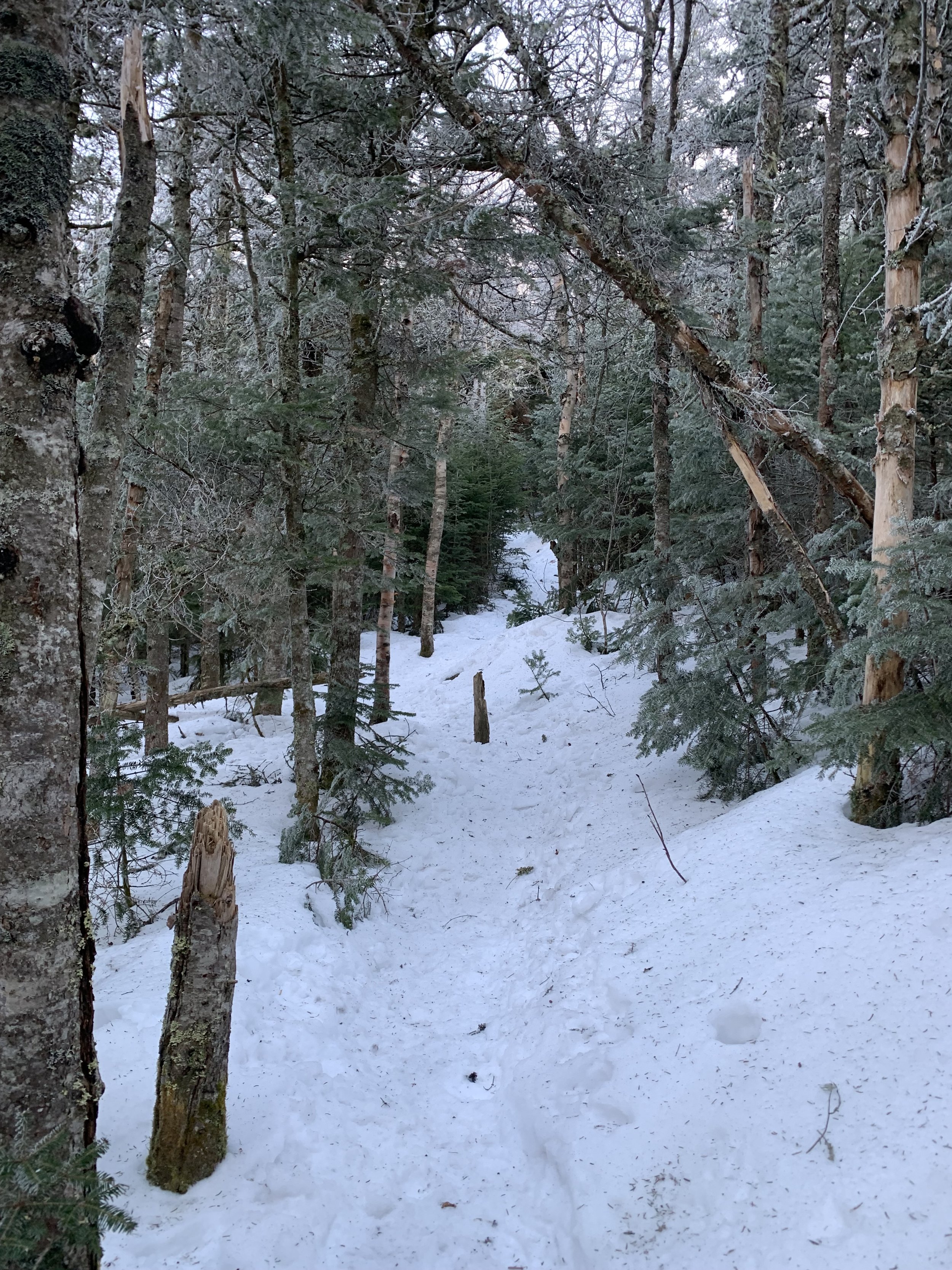
Glencliff trail entering fir & spruce
Swinging left from the second field the trail steps over a small stream by use of well-placed rocks. Here, the Hurricane Trail diverges off to the right while one of the spur trails to the Great Bear Cabin can be accessed with permission from the DOC (reservations required), this is the third cabin on the site as the second had burned in 1990 after 60 years in service!
At about the 1-mile mark the trail makes a slight swing left and begins northeasterly away from the small brook on the right it had been following, here the real climbing begins with small, tight switchbacks visible over the main path, evidence of thousands of Appalachian Trail thru-hikers slowly making their way up or down this steep path with heavy packs on their backs.
Today, up to my iconic “1-mile mark swing”, I had counted 9 new trees toppled from the recent windstorms. While most were easily stepped over, there were several larger “widow-maker” trees leaning which were standing straight when I had passed just several weeks prior.
The trail tapers to a gradual incline and proceeds along the western face of the South Peak, at first through mixed hardwood featuring many white birch and soon entering more of a spruce aisle around 3,500’.
Prior to gaining the ridge and meeting up with the South Peak spur trail or choosing to proceed on the Carriage Road north or south, there is one final steep and rocky section which at one time was known as “The Agony”, a name given by the DOC crews which would haul supplies on their backs via this steep route up to the Summit House.

Summit & ridgeline from South Peak with undercast
I could tell there was an early morning undercast (or cloud inversion, it is also known as) out to the west so to determine my next direction I hustled up the well-packed spur trail leading 80’ up to Moosilauke’s South Peak which stands at 4,523’. This minor summit provides outstanding views north to the ridge and of the main summit itself. There is also a plaque at the eastern lookout cut for the Outing Club.
Back at the main intersection of trails I decided to head south on the Carriage Roads hoping that today’s undercast might settle around the surrounding summits and further enhance the views.
The Carriage Road is just that, a cart path graded for horse and carriage and later used for automobiles and resupply to the Summit House. Built in the mid-1800’s from Breezy Point at 1,707’, the road has been home to Model-T races and later the birth place of modern down hill ski racing; the first organized and recorded down-mountain race took place March 8th, 1927. By 1931 the National Forest maps still listed the road as “passable” by cars, but not for much longer.

Carriage Road, a tunnel through the forest
By 1994 the upper section of the Carriage Road had grown “terribly eroded” and thankfully underwent significant reconstruction. Albeit rocky underfoot in most seasons, it is a lovely path to follow with gentle grades, beautiful stonework for minor staircases and a fir canopy enclosing in both sides of the trail.
Before reaching a series of switchbacks on the old Carriage Road I descended left onto the Snapper Trail. Named for Dartmouth skier, Eddie “the Snapper” Wells, the entrance for the original ski trail was located slightly further north on the Carriage Road and nearly completely relocated and rebuilt in 1995 after falling into disrepair.
Following and crossing several small Gorge Brook tributaries, the 0.9-mile Snapper trail meets up with the Gorge Brook trail which was home to the original Hells Highway ski trail until its upper sections were destroyed in the Hurricane of 1938. The current Gorge Brook trail has also seen its share of reroutes following Hurricane Irene in 2011, many of the reroutes are now indistinguishable.

Gaining elevation on Gorge Brook trail
After another 0.9-miles through a lovely fir and mixed hardwood forest as well as a bridged stream crossing, the path comes to a wide area that beckons the hiker to pause for a short break as this is the place of “last known water” before ascending higher up the mountainside. Here was once the location where the Gorge Brook trail continued straight along Gorge Brook before reaching tree line.
Also, the old Gorge Brook Slide trail would have entered on the left, across the stream. This trail was suggested for uphill traffic only from 1966-1980’s, until becoming abandoned. Several of the bare rocks along the 1927 slide still display faded orange and black DOC trail blazes if one looks closely during an ascent of the old route.
Continuing along the Gorge Brook trail, however, the path enters the Ross McKenney Forest, for whom a plaque can be found at ground level. The current trail was completely rerouted in 1990 and now follows an old logging road until reaching a series of switchbacks leading to the scrubby alpine zone atop the southeastern ridge. Eliminating “steep grades and rough footing”, the newer path features several fine lookout points to rest and catch ones breath.

Rime encrusted summit & plaque, Franconia Ridge above undercast
Once out of tree line the summit and its signage comes into view, here was once the home of Moosilauke’s Prospect House, later renamed the Tip-Top House and given to the Dartmouth Outing Club in 1920 along with a circular tract of land atop the mountain. Ran by the DOC similarly to an AMC hut, the summit hotel sadly burned 1942 and was never rebuilt. The foundation stones can still be seen, most of which have been repurposed for the wind breaks (shelters) which now dot the high summit area.
Another memorial plaque can be found at the summit as well as an old USGS survey benchmark which was placed 1958. The network of radiating paths from the summit are marked with large stone cairns which (in hopes) are visible in bad weather and high snow seasons - today they were encrusted in a feather-like rime ice which is formed from moisture in the air freezing as it hits a surface, growing into the direction of the wind.

Carriage Road/South Peak/Glencliff junction
I followed the Carriage Road back down the ridge for 0.9-miles until completing a loop and reaching the South Peak/Carriage Road/Glencliff junction, along the way are many excellent views looking back to the summit and alpine at 4,802’.
While descending I was fortunate enough to meet a 78-year old woman who had hiked the Appalachian Trail when she was 60 and was now using the steep Glencliff ascent of Moosilauke as “training” before tackling the AT once again this year. I guess you just never know which kind of superheroes you may meet along the path - I departed our conversation feeling incredibly lucky to have shared a moment on the trail with her; Moosilauke is truly a magical place to find oneself.
Overall stats for the day:
11.96 miles
3hr 56min
5,522’ elevation gain
Mount Moosilauke - 4,802’
Moosilauke - South Peak - 4,523’