
Black Mtn: Benton Range
Arrived are the days when the White Mountain paths have been plagued with winter rain storms, unseasonably warm temperatures and hikers simply enduring these conditions to bag their peaks just to later report the poor trails were inhospitable bags of “hot garbage”. Hoping to ride on the coattails of yesterday’s amazing snowy conditions on Mt Monadnock while downstate, I decided to test my luck at lower elevation trails once again.
Driving home Sunday it was quite a sight to see my close-to-home peaks growing increasingly white while driving north on I-91; the pair of Moose Mtns, Smarts, Cube, Sunday, Sugarloaf, Black Mt all dusted with a sugary coating of powder from the night prior - Moosilauke shined the brightest of all at 4,802’.
Fearing the steeper, shorter Chippewa Trail (from west) would be an icy luge cascading down its many cliff faces I opted for the longer, more gradual approach from the Benton side.

Old Forest Road 76 to begin the winter trekking
This popular path, the Black Mountain Trail, begins at the end of Howe Hill, off NH Rt 116. There are USFS signs directing hikers to park at the end an old logging road (which continues off Howe Hill on the right), terminating at a designated Hiker Parking Lot which should fit 6-10 cars whilst not blocking the gate to the field/logging lot.
In winter this lot is not plowed but today had truck tracks down the narrow one-lane road; given the depth of the rut down the center of the lane and knowing I could not turn my car around if needed, I parked as to not block the residential driveway just prior to entering the Forest Road to the hiker parking.
Breath lingered in the air and in no time at all ice crystals grew into a solid mass on my beard in the 16° morning air, given the 8am start the sun had yet to crest over the Franconia range in the distance.
Given the gentle climb of this trail, it never seems to take long before footsteps are packing down any new fallen snow; today I traipsed through 3-4” of powder on an icy crust base layer below. Already it appeared a small army of boots and dog tracks had come and gone on this old logging road turned hiker path.
Beginning as a flat trek along beautiful stands of white birch along the old Forest Service Road #76, at 0.3mi from the hiker lot the path diverges left (follow arrows) while the snowmobile path stays to the right and begins to ascend gradually past several logged clearings.

After Mardin’s Field the trail swings and begins climbing
Reaching the the second, larger clearing known as “Mardin’s Field” at about 0.75mi the path continues straight through some well placed boulders on the hiker path. There are several small streams to step over along the ascent.
Arriving at the base of the main climb the trail gently swings right out of the logging landing, following a newer USFS sign which states, “HIKING TRAIL”; the trail is an unmistakable cut proceeding straight ahead (southwest).
After climbing a gradual 500’ over 0.4mi, the trail swings more south/southwest following a small switchback/hook in the trail. Here the hiker is treated to a beautiful open birch and young softwood forest until about 1.5mi at which point the trail ascends into more mature conifer forest; spruce and fir hugging in from both sides bringing a sense of seclusion as one continues to climb.
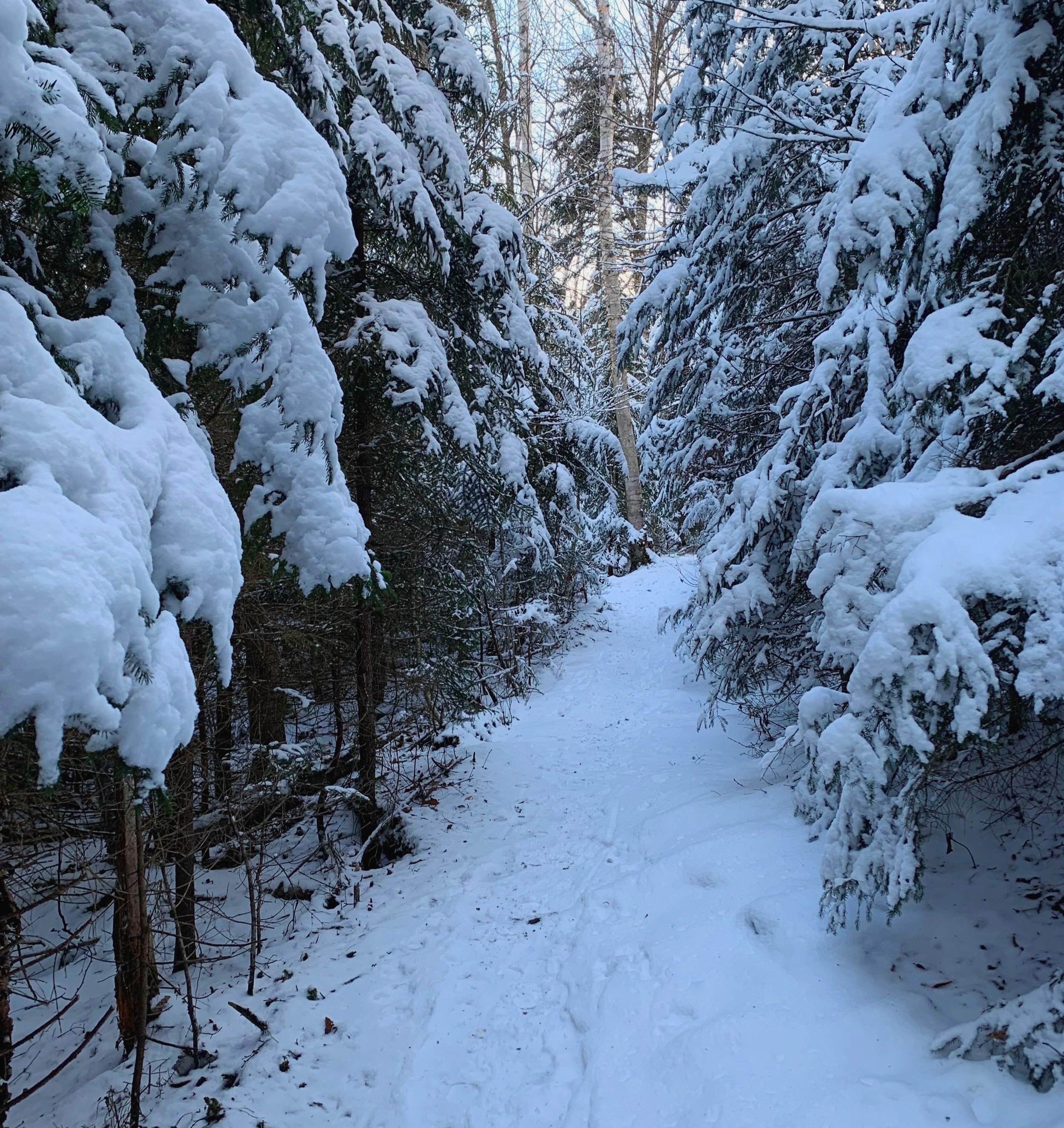
Dense conifers while ascending toward the ridgecrest
The trail rolls along the northeast shoulder of Black Mountain, climbing several steep and well eroded sections before leveling off and making its way to a junction with the Chippewa Trail from the west, just below the summit.
There is a firepit on the right just prior to a short scramble to the exposed summit which featured a staffed fire tower lookout from 1911 until 1964 and was finally removed 1978.

South toward Jeffers Mt & Hogsback ridge
Upon summiting onto the ledgy ridgecrest of Black Mountain (2,820’), immediately Sugarloaf (2,609’), the Hogsback Ridge (2,810’) and Jeffers Mt (2,994’) are front and center; following easterly one can spot Mount Clough (3,561’) with the mighty Mt Moosilauke (4,802’) towering behind adorned with several old slides in its visible glacial cirque, Tunnel Ravine.
Following the summit ridge of Black Mt further east, one can find the old Tipping Rock which was a destination for many hikers of the past. Continuing to swing north along the hillside, one can spot North & South Kinsman (4,358’) with Lafayette (5,240’) and the remainder of the Franconia Ridge towering up from behind, the large open rockslide face of Mt Flume (4,328’) is unmistakable from this viewpoint.
A visit to Black Mountain’s summit cannot be complete without a side trek along a short herd path through scrubby trees to the southwestern exposures featuring views out to the low rolling Connecticut River Valley and beyond to the Green Mountains of Vermont; on clear days high peaks of the NY Adirondacks can be picked out as well.

Easterly views toward Franconia along summit ridge
In editions prior to 1987, the Appalachian Mountain Club (AMC) White Mountain Guide describes the original stretch of Black Mountain Trail which descended from the ledgy summit rocks and lookout tower area, down the southeast while crossing Titus Brook twice and on toward Long Pond (east of Sugarloaf/Jeffers Mt) and terminating at North and South Road. Nearby the lake, a 30-car parking area had been constructed providing sanitary facilities to the guests.
One thing I can never get enough of are old maps; it’s much like a big-kid treasure hunt to notice subtle differences of new or rerouted paths going up and down contour lines or perhaps trails gone and abandoned altogether.
If there is one gift living in the western White Mountains gives generously, it’s the abandoned trails that nature is working to reclaim which contain generations of history waiting to be unearthed in old books, stories or maps.
Overall stats for the day:
4.76-miles
1hr 57 minutes
1,565’ elevation gain
Black Mountain - 2,820’