
Province Road State Forest Hill
With a snowstorm quickly approaching, I had enough time this morning for a shorter roam in nearby woods. Remaining close to home, I decided to pay a visit to another summit on the New Hampshire 500-Highest list. For those unfamiliar with the NH 500-Highest, this is a fine catalog of peaks dotting New Hampshire from the northern border with Canada, to Massachusetts in the south. This list of lesser peaks often provides some outstanding winter bushwhacking opportunities.
Beginning along Hog Hill Road (snowmobile corridor)
On my laptop, there is a map with various colored dots; these points switch colors following a successful summit. Slowly, surrounding peaks all became green, having stood atop their summits at one time or another. Not knowing much about this 2,130’ mountain, I checked maps of varying ages for old forest and logging roads. This mountain is located in the Province Road State Forest, and I have a suspicion that it is treated similarly to other conservation lands which offer no official trailhead parking areas, no trailhead signage, nor marked/maintained trails.

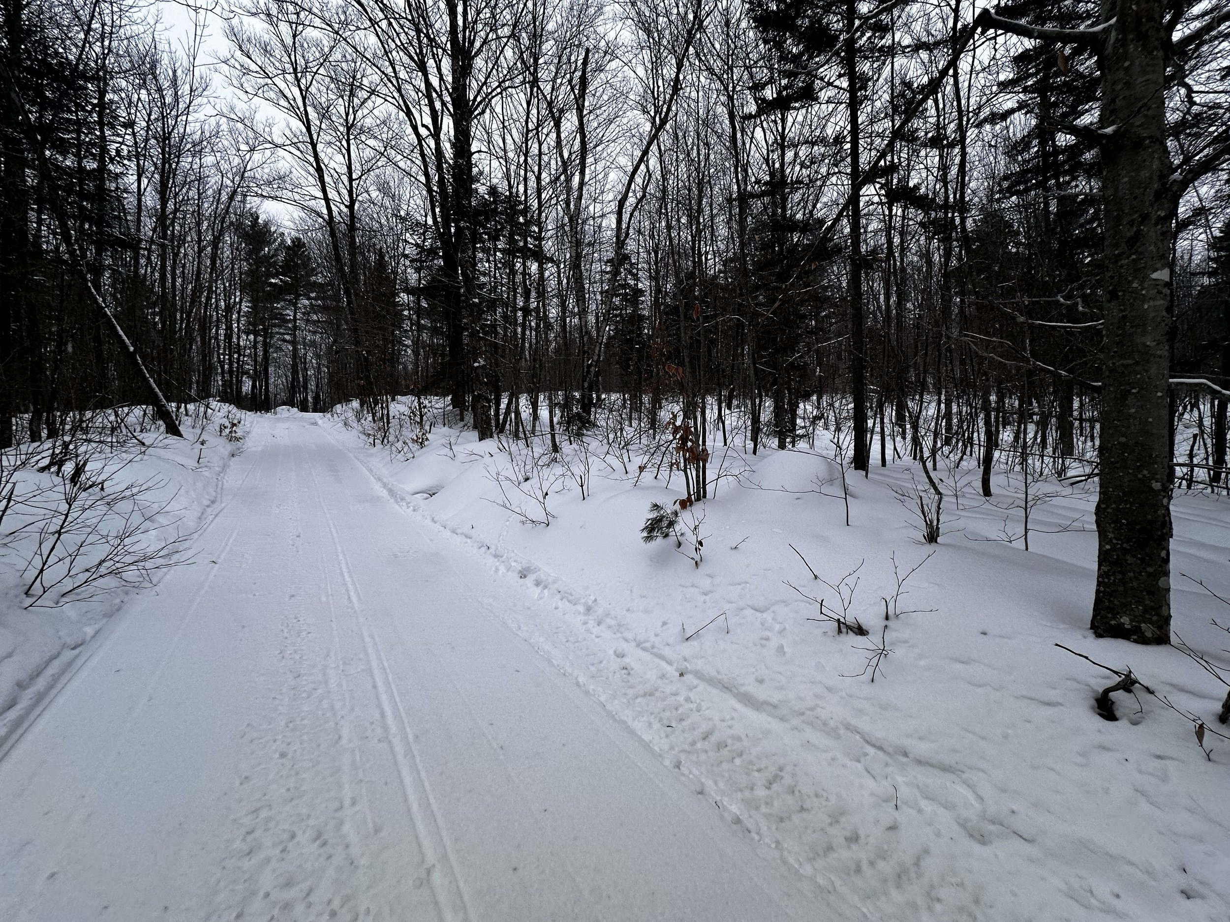
Leaving the main branch for a single sled track
One thing this area of the White Mountains has no shortage of are snowmobile trails. Maps published by regional snowmobile clubs can prove helpful when approaching some of these trailless peaks - to know which corridors are likely groomed routes providing quick, and efficient snowshoe travel. While not all snowmobile trails specify foot traffic is permissible (do not bareboot snowmobile trails), a general rule of consideration is to trek well off the groomed snowmobile route, giving motorized traffic the right-of-way, and plenty of room to cruise by.

Nearby views as the snow falls
Having plotted a route which would utilize snowmobile corridors and old logging roads for a majority of the approach, I was hardly surprised when I found my first planned parking area neatly concealed under several feet of crusty snow. Knowing that these snowmobile corridors intersect North Groton Road, I continued on, until finding one lonely, plowed parking spot. Just west of the North Groton Cemetery, I backed into a narrow parking spot at the road crossing of Hog Hill Road.
After a brief chat with local police (kindly checking to ensure I was not stuck in the snow), who confirmed my parking spot to be a fine choice, as well as snowshoeing the snowmobile corridor. As we talked, the officer noted my gear, piece by piece, while I readied a 12-liter hiking bag. Soon, seeming convinced that I was actually snowshoeing at 7:00am on a weekday, and not here to cause mayhem, we split ways.
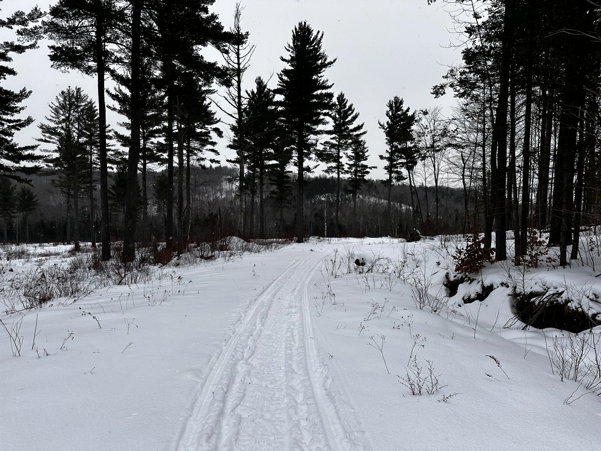
Nearing the snowmobile turn-around atop the ridge
Wishing the officer a good day, I stepped onto the groomed snowmobile trail. The snow was more supportive than I could remember, after all, it had been years since running snowshoe events on similarly groomed trails. Gazing around into the surrounding forest, dark conifers lined the corridor, while a bright, and airy hardwood grove stood beyond, a blanket of snow shone far into the surrounding mountainsides - still a rich cobalt blue from the sun still low in the sky.
As the compacted trail rolls along the hillside, various other groomed routes diverge toward other locations, a small, groomed branch led northward, its junction with North Groton Road was my first choice of parking, but did not appear plowed. Come to find out - on my drive home, I noticed a large lot (perhaps for loading/unloading sleds?) had been plowed across from this branch trail, this may provide much more parking if the lot remains plowed.

Narrow corridor in the trailless woods
After passing through a large clearing with spare trail signs and drainage culverts, the snowmobile corridor begins swinging downslope, southwardly. As the main branch proceeds right, I joined the track of a single sled as it passed around Caution tape and crossed a bridge. I would suspect the scant covering of snow on the bridge to be the reason for the Caution tape, one good dumping of snow and this side spur should be good to go, however.
Once beyond the wooden bridge, I rejoined another groomed snowmobile corridor as it meandered southwesterly. Emerging into a vast area of recent logging (posted permits allowed for logging until 2021), I always laugh when I see tufts of mighty conifers standing alone in a logged clearing, perhaps hardwoods were the objective, I just cannot believe these softwoods would fare well by standing completely alone, bearing the full velocity of northeast tempests.

Open woods and a supportive snowpack
Surrounding hills and ridges began appearing on the horizon; as the wide, groomed corridor continued westwardly, I diverged yet again for another single snowmobile track - while not much, it provided slightly more efficient travel than pure bushwhacking. All throughout these woods, various older corridors can be discerned, their unmistakably wide paths slicing deep into the wilderness.
Had the skies been clear, surely the view here would have been stunning; a gorgeous north-northeastwardly panorama began stacking up as elevation was gained. Closer mountains were made visible due to bright white streaks of logged hillside. Conveniently, this sole snowmobiler had a similar destination as I had this morning; following their packed path, the trail began slabbing up the long, west-facing ridgeline. More of just a long incline, this pitch was hardly steep, but before long, likely would have offered some magnificent views - on a clear day. I would be curious to see how much of the central, and northern White Mountains might be visible from this interesting, southern vantage.
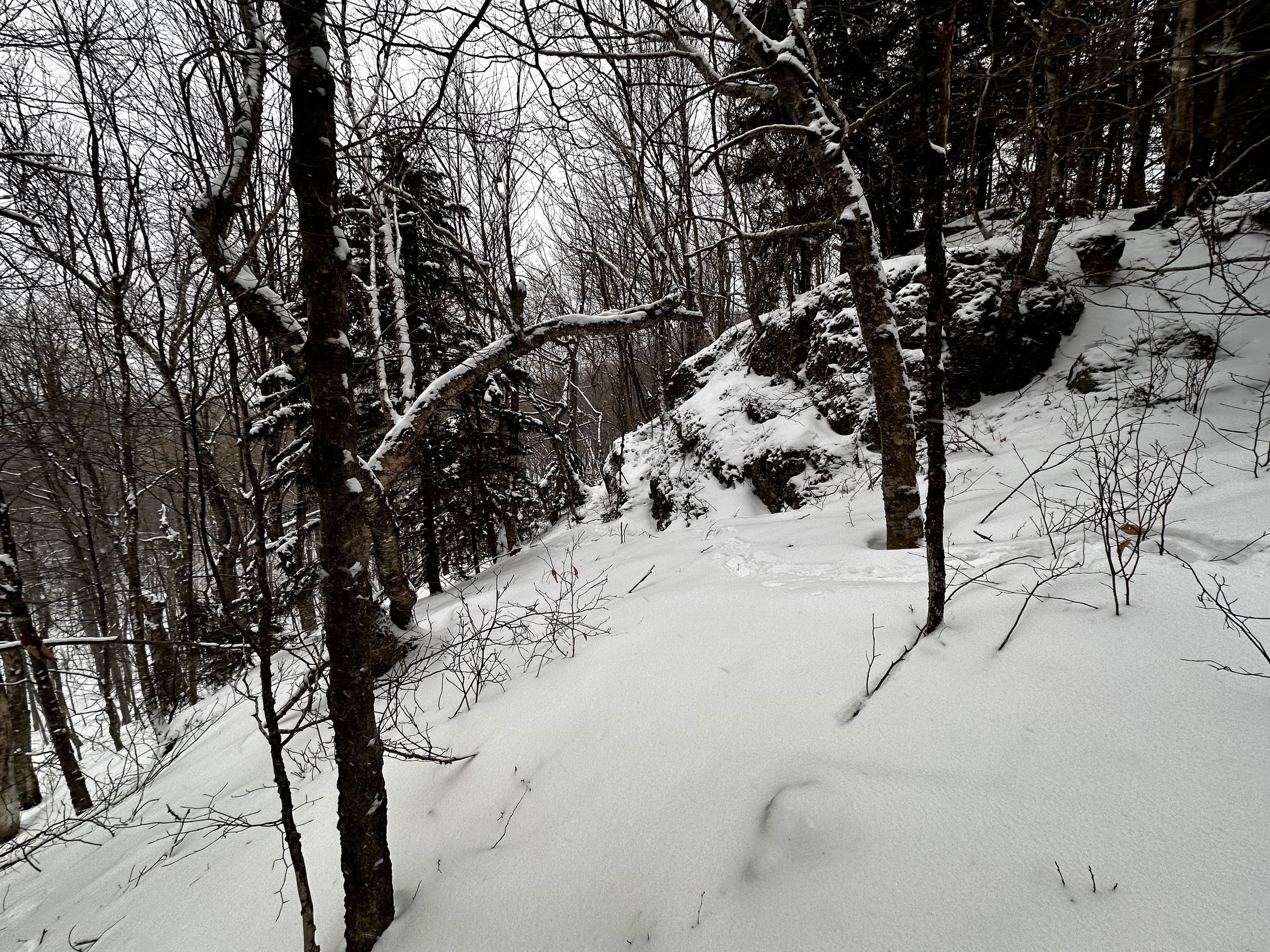
Exposed rock bands guard the high point of Province Road Peak
Young saplings and brambles create a faint, pink hue (a traumatizing shade which does not easily fade from memory once the bushwhacker becomes ensnared in thorns!) throughout the immediate regrowth. I would be interested to find old maps of this snowmobile turn-around area high atop the ridge - perhaps it was the site of an old village, or nothing more than loggers searching for a profit.
At the height of the snowmobile turnaround, an unmistakable path could be found entering the woods, however, one could walk into these woods with just as much ease without trail. Following this cleared corridor for several rods, I finally broke away, heading directly for the ridgecrest which contains the recognized high point. Atop pillows of snowy mounds, I followed recent deer tracks through the snow, my wider tracks hardly puncturing the crusty surface, while the deer plunged straight through.

A fine resting area atop the false summit
As the ridgecrest rolled westward, I encountered two progressive rises in the topography, the second, and final ascent being much steeper than any previous climbs thus far today. Onto the leading crampon points I leaned, picking steps up the steep slope was very efficient thanks to the solid crust which became noticeable upon stepping off the snowmobile trail, around 2,000’.
Glancing uphill while kicking steps, I could see a wide band of cliffs ahead; following deer tracks around the base of the exposed rocks, there was a chute which led between rocky summit plumes. As I had thought the true high point would be found off to the left (southern bump), I roamed around briefly before backtracking to the high col, and onto the more northerly knob.

Summit of Province Road State Forest Hill
Here, I found what I was looking for: a glass jar strung in a spruce. Just past the summit area, I located what was likely a fine northerly view through the wooded summit canopy. Had the sky not been opaque from large flakes tumbling, I would have liked to stay for a bit, to spot familiar peaks from here.
Taking a moment to sign into the summit register, I saw many familiar names, and added my own to the list. Following my own snowshoe tracks downslope, after a brief section of trailless rambling, I was back on packed snowmobile track, and before long, the wider, groomed corridor. All seemed quiet in these woods as the snow fell densely; ascending tracks had already filled as I pushed the downslope pace into trail running speeds.

Open softwoods on the descent
Nearing my awaiting car, I began seeing snowmobilers out on their trails; giving them plenty of berth, we exchanged waves as snowshoes were tossed in the backseat - these broken snowshoes had survived yet another off-trail ramble. With several other “trailless” New Hampshire 500-Highest near to this peak, I can only hope their forests are equally as enjoyable as Province Road State Forest Hill had been.
Overall stats for the day:
4.25-miles
1hr 29 minutes (snowshoe jog out)
1,191’ elevation gain
Province Road State Forest Hill (Province Road Peak) - 2,130’