
Elephant Mountain
Of the 100 peaks included on the New England Hundred Highest list, thirteen of those mountains have no officially marked or maintained trail. Many of these higher peaks offer at the very minimum a herd path which has been worn into the mountainside by years of foot traffic; while roaming around these trailless woods, it is often difficult to tell if the route you find yourself following was created by hikers or simply moose meandering from here to there - many of the pathways often have both boot and moose tracks residually in the mud.

Elephant Mountain Road
These trailless peaks were originally added by the Appalachian Mountain Club to a list, comprising treks and peaks with little to no trail, ensuring a true “outdoors” experience and necessitating the skill of backwoods navigation (map + compass). Over time, tracks became worn into the hillside as hikers took the same route time and time again; to me, this is a unique kind of fun, following gently worn paths and working my mind to match the landscape witnessed to topographic maps, observing certain features, dips and rises in the hillside.
Just listen to a few veteran hikers and they will go on and on about how the AMC should cease the recognition of the Hundred Highest list and that it’s no longer about the experience or learning navigation any longer; call it what you will, while perhaps not “true” off-trail, backwoods navigation, I still think finding and following herd paths is a fun way of seeing new places, mixing in map and compass as needed, indeed, a skill every hiker should possess.

Old road leading to the bushwhack
Now we move onto a peak which has been set aside, on my back burner for several years - after completing the six-pack of Maine peaks last week, I figured the nice, autumn air would make for a good accompaniment for a sunny weekday hike. Treks are now becoming limited as I continue checking off peaks for the New England Hundred Highest, only two left - and the other is way up in Baxter State Park!
Elephant Mountain it was; another 3-hour drive to go hike in the trailless, remote woods of Maine. A quick search on Google Maps can get most to Elephant Mountain Road, in Andover, Maine; the kind of car or truck driven along Elephant Mountain Road will determine exactly how far up the old logging road one can park. Turning off Birch Brook Road, the entrance to Elephant Mountain Road features two boulders, both of which appear to have been moved as to allow traffic onto the dilapidated, washed out road.
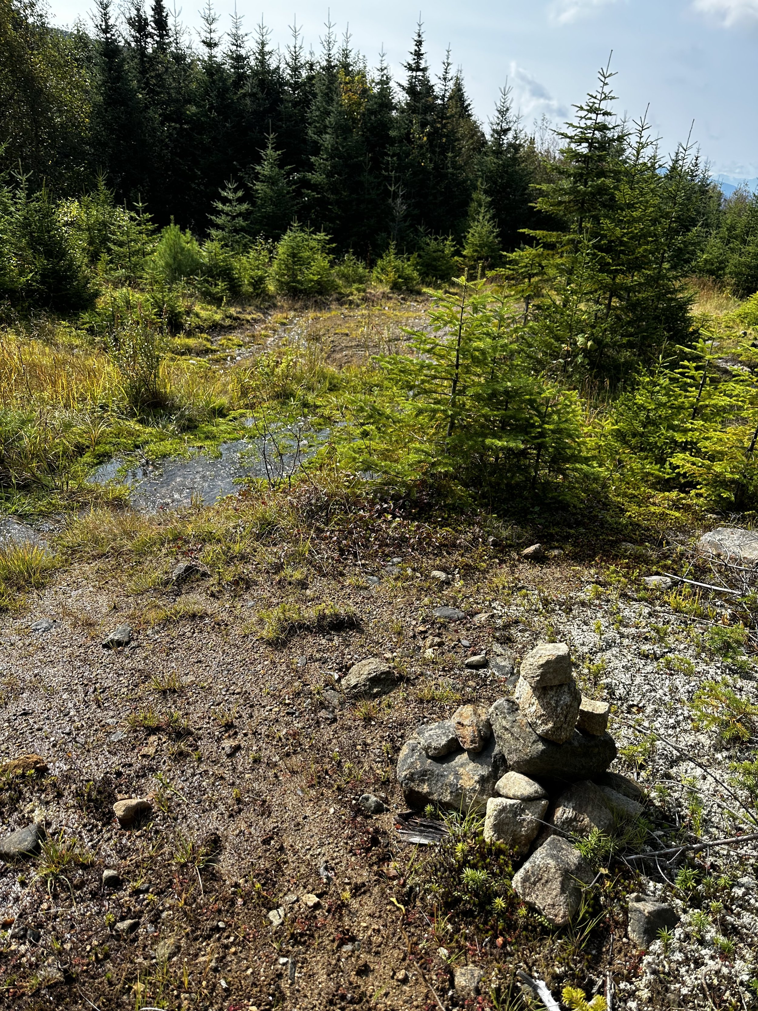
Cairn leading to the bushwhack
Beginning my trek from the base of the old road, it quickly became obvious why only high clearance vehicles should attempt to drive the 2-miles to the old trailhead parking area. There are several instances along the road to pull off and park about halfway, but I’d still recommend high clearance with some burly tires to tackle the erosion and exposed rocks.
The initial two miles were just that, hiking up an old dirt and gravel logging road; views could be found eastwardly toward Old Blue Mountain and the Appalachian Trail ridgeline, as well as toward the south/southwest as we began to ascend. The old road climbs just under 900’ in the first two miles. Upon reaching a small cleared area, the trail diminishes considerably and proceeds along an older logging road which is highly overgrown (in September) and soggy for most places along the route.

A decent route through the slash
For about 0.3-miles, the path follows this grassy trail until opening up to another landing area where hikers can still locate the rock cairn which indicates the bushwhack entrance into the forest.
This is where hiking becomes interesting.
Atop a 2-3’ bed of toppled saplings, hikers must navigate their way over and through a mess of logging slash; occasionally, the old herd path can still be discerned beneath the piles of cut saplings and twiggy branches. Each footstep becomes a game, a maze of options: step on the downed log or is the log too far rotted? How many layers of saplings will it take to support my weight, or will this footstep also plunge several feet down to earth below?

Into the easier going forest trekking
Before long, I noticed by heading east I could divert around a long stretch of slash and make slightly better time along a fairly clean section of herd path. If you’re thinking of hiking Elephant Mountain and notice that there is a convenient track all loaded into AllTrails, as if ready to mindlessly guide up to the 3,774’ summit, think again. While it is handy to see your location displayed on a map for relative assurance as to where on the mountain you might be, there is no one continuous herd path to be followed from the base to the summit of this mountain.

This is not so bad…
Varying from oppressively thick, young balsam fir which required a specially developed “swimming” technique in which to make any forward progress, to nearly crawling through a gnome habitat of pencil-thin spruce, to shoe-sucking mud as one approaches boggy saddles and moose dens, this bushwhack encompassed all forms of off-trail navigation that I could recall rummaging along throughout all previous hikes of my lifetime.
While aiming more-or-less for the recognized Southwestern summit of Elephant Mountain, eventually, the dense understory opened up to allow one to cast eyes upon their feet once again; the ground became blanketed in a lush carpet of moss. Progress up the southeastern face of Elephant Mountain soon became increasingly steep as we could clearly make out footsteps of previous hikers.

Getting views as we get close to the summit
With careful but intentional steps, we climbed the steep mountainside as downed logs and stumps crumbed underfoot, at the slightest touch. As elevation was gained, it was possible to find a plethora of herd paths converging to proceed upslope. At one point we merged and began westwardly toward where the high point of the mountain should be located, this was where I recognized we had just merged with the AllTrails route.
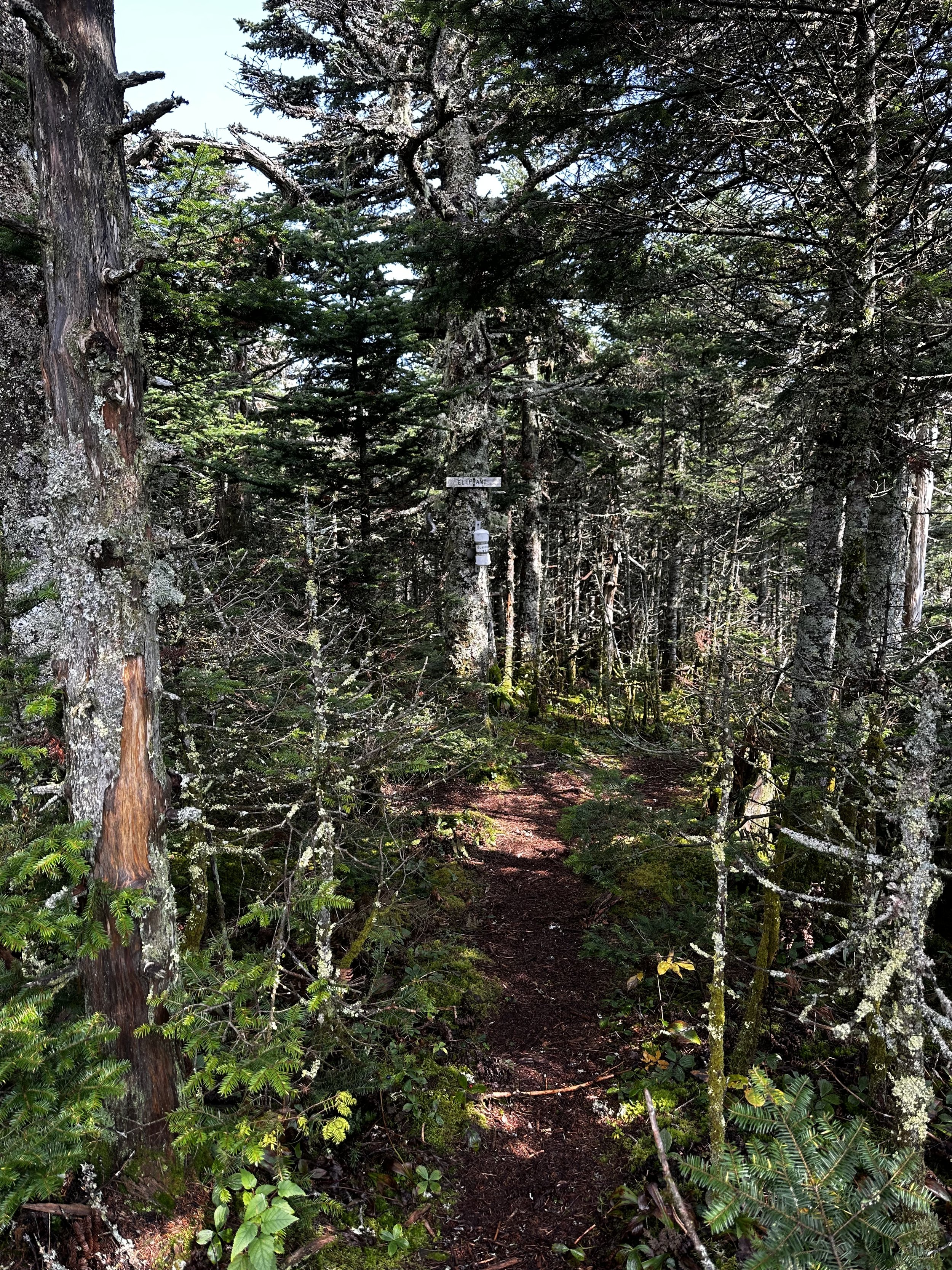
Bobbing and weaving around trailside blowdown, travel was quick along the Southwestern peak. With a moderate swing in the trail we came upon a clearing, a decent sized area at the high point where the summit canister can easily be located - along with several pairs of elephant trunks hung beside a standard white with green lettering, AMC sign.

Summit of Elephant Mountain
After signing in and logging our ascents, all the contents were sealed and put back into the canister. Departing the summit of Elephant Mountain gave an interesting sensation, I had been researching logistics and routes for years now and in a matter of minutes spent, I was now departing - this is one hike where it really is all about the journey and how one gets to the summit, not necessarily the meager time spent at the peak.
As I had begun this bushwhack trek of Elephant Mountain alone this morning, I had the privilege of meeting many outstanding hikers. The initial mile of logging road-walk was shared with a group of (over 70, from what I gathered) hikers attempting Elephant Mountain for the second time, most of whom were also working on their “Over 70 NH48” list, damn impressive!
Departing the summit of Elephant Mountain
Shortly after I split from the initial group of friends, Tim and Bergen caught up while trekking through the horrendous logging slash/trashed sapling patch. The three of us all pitched in with navigation along both the ascent and descent - we made a great time out of a Type 2 style bushwhack.
While aiming to trace our route on the descent and perhaps improve our situation by sticking to more “open” woods, we found a trajectory to the west of the nasty logging slash of down low which was occasionally marked by yellow, orange, pink and blue surveyor tape - perhaps for hunting, but probably left behind from previous trekking parties. This route Tim located followed an old, brushy logging road, wet in some places, but nonetheless a drastic improvement from stepping on the bouncy netting of toppled saplings.

A game of “pick your own path”
As we parted ways, Tim heading further northward to embark on the six-pack of Maine peaks for his own round at the New England Hundred Highest, I slouched into my drivers seat to embark on a locally grown, 25-pound watermelon, rehydration at its finest.
Driving back to New Hampshire, I recalled all of the peaks scaled to get me here with one summit remaining. All of the bushwhacks, the herd paths, snowy paths, muddy paths, summit registers signed, and the friendships made along the way. When we find ourselves on the side of a mountain, we are all equal and working toward the same goal; hiking friends are among some of the finest friends out there.
Thanks to everyone we have shared trail time with.
Happy Climbing!
Overall stats for the day:
6.76-miles
3hr 24 minutes
2,139’ elevation gain
Elephant Mountain (southwest peak) - 3,774’