
Catalouchee Mountains
With a diligent eye on the weather forecast, I was hoping to take advantage of some lingering - rather efficient backcountry snowshoeing conditions - similar to favorable snow conditions that were recently found several miles northward. I had climbed the unmistakable bald neighbor many times; Mowglis, and Orange Mountains both offered a stunning forest to roam; their slopes and ridges offering a sense of true remoteness - I was curious what these glorious places looked like with a thick blanket of white.

Single sled track early along the Orange Cove Trail
Today, I would be using groomed snowmobile corridors for maximum efficiency while approaching the off-trail, bushwhack portion of this woods ramble. Thankfully, there was a recent trail report on the New England Trail Conditions website which confirmed parking; a quick search online can easily locate trail maps for New Hampshire snowmobile corridors, often labelling the corridor name as well as which club oversees each trail. In winter, these packed paths provide super-highways for snowshoers, but - please be sure to wear snowshoes on snowmobile trails out of respect for other users - whether or not the trail is hard packed or not, DO NOT tear up trails intended for other use with foot traffic.

A recent logged patch opened up this view toward Kearsarge
With a route plotted and mapped online, I packed light for the brief outing - with all winter essentials stowed on my back, hopefully the extra layers, and gear would not to be needed. The last helping of snow came nearly a week before this trek, so I had assumed most parking lots and snowbanks had been pushed back as needed by now. From Cardigan Mountain Road, I pulled onto New Colony Road, which was plowed, with about one-inch remaining - this crust offered good traction for my old Subaru.

Lucky #7 Pond from the snowmobile corridor
Able to drive to the gated terminus of the old Groton-Orange Highway, there was room for 2-3 vehicles at the end of New Colony Road. From the plowed hiker lot at the Cardigan Mountain State Forest sign, tracks could be found starting in various directions: slightly south of due east, some tracks meandered into a relatively recent logging cut which afforded a gorgeous lookout toward Kearsarge Mountain; Cardigan Mountain with its freshly renovated fire tower cab was plainly visible as well.
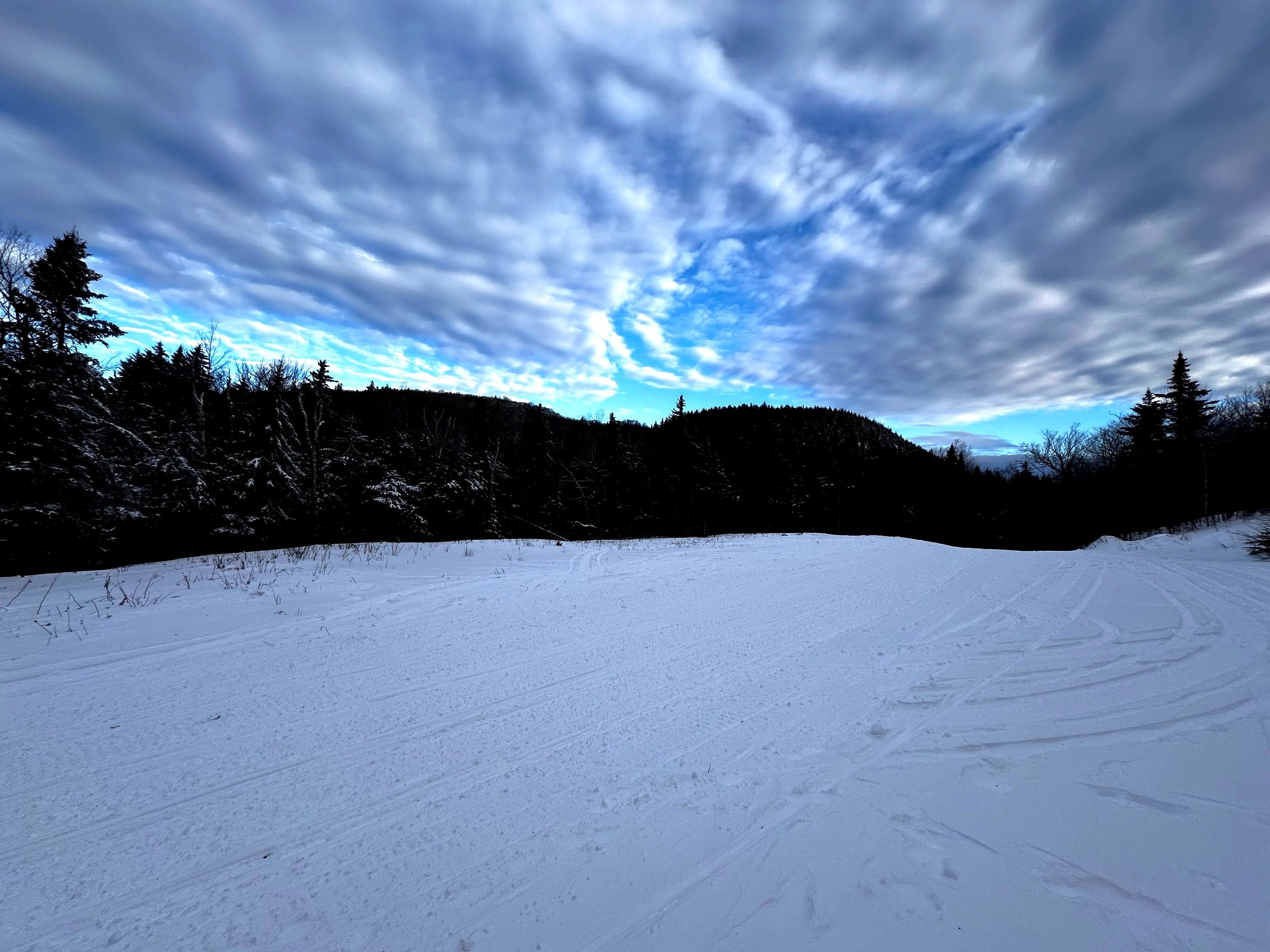
Alternatively, the bulk of foot traffic could be found navigating toward the gated forest road. Luckily, a single sled had come through, kindly packing down the 0.3-mile spur between the trailhead and main network of groomed trails. While the frigid mountain air was still, immediately an icy mustache had formed from breath; snow crunched beneath snowshoes - I could look ahead and see a gently rising packed trail, nearly as smooth as a sidewalk. An 18-minute/mile pace was hardly taxing during the initial snowy trek.
A shadowy Catalouchee Mtn from the HOL
Reaching a wide, cleared area, I met the snowmobile Hood Trail, maintained by the Hardy Country Snowmobile Club; thankfully, for a Monday morning, I saw no traffic all morning - motorized or not. As the groomed corridor ascends alongside the wide logged clearing, I took a moment to test out the snowpack, snowshoeing into the logged area to check out the vista.
On most topographical trail maps, this snowmobile corridor is labelled the: Orange Cove Trail, or an extension of New Colony Road. As the grade begins to taper slightly, a wide, overgrown side spur is passed on the right. Shortly beyond the split is the Lucky #7 Pond, which is apparently frozen enough to bear the weight of several snowmobiles, as I traced their sled tracks around the perimeter of its snowy surface.

Descending with northerly views
At 1.5-miles from the gated trailhead, a large clearing at the ~2,300’ height-of-land is encountered; from here, an interesting angle of the double-humped Catalouchee Mountain can be viewed. Today, dark, bare conifer tops contrasted beautifully with snow and ice encrusted boughs along several aspects of the mountainside.
From this cleared area, the Mowglis Trail departs eastwardly, whose namesake mountain is also visible eastward - as a long, dark ridge; I opted to continue following the hardpacked snowmobile trail northward. Cresting over the height-of-land, I swung around the bulk of Catalouchee Mountain, and began a long, rolling descent which was chock full of delicious views. Complete with cold, blue hues in the valleys, warmer shades of light touched higher mountaintops as the morning sun rose in the sky.

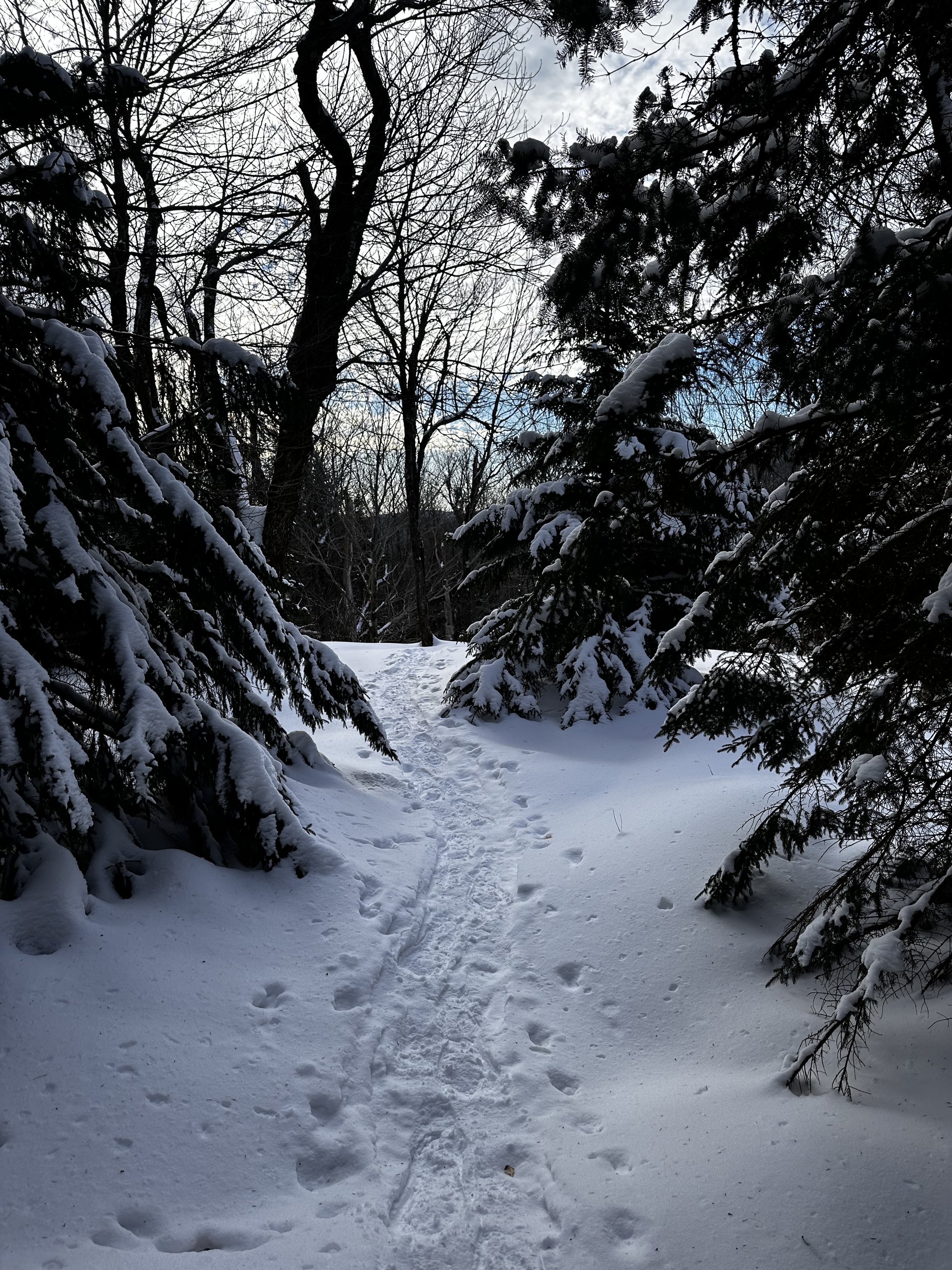
Early into the bushwhack, through open-enough woods
Descending to about 1,840’, I spied open hardwoods to my left, and without hesitation, stepped off the groomed corridor to begin side-hilling toward my first objective. Woods travel was very efficient as I cut off unnecessary mileage. Once off-trail, I could appreciate the thick ice crust-layer which was now buried beneath the previous Tuesday’s 6” layer of deep, fluffy powder. Working to ascend higher into the col before approaching the North Peak head-on, I merely picked a route, as I could continuously observe the mountain clearly through open woods.

Ascending the North Peak of Catalouchee Mountain
Before long, I was surprised to find a solid track of several snowshoe prints in the woods; opting to follow these tracks briefly, when I found they continued more toward Kimball Hill Road (snomo corridor on westside of mountain) than I had wanted to venture, I stepped off these tracks to place a few more of my own. While maps do indicate drainage in this area, any sags in the landscape were adequately tucked beneath solid snowpack.
Around 1,970’, I disembarked the packed snowshoe path and began attacking the steep mountainside head-on; thankful for fresh crampon points of the 2024 Tubbs Flex Alp’s, I remained on front points for essentially the entire climb, only resting briefly to capture several photographs glancing back to Catalouchee Mountain, my next destination.
Looking back through the wall of conifer cap
To my great enjoyment, the hardwood forest continued well up the North Peak; only nearing the ultimate high point did I swing into the conifer cap atop the mountain. Perhaps twice did I need to brush past stiff spruce branches while enroute to the high point. Through a thin band of pesky, young growth, hikers then emerge into the depths of mature conifer. Well-spaced trees make for a pleasurable final stroll to the broad summit, the recycled salsa jar was highly visible thanks to it being wrapped in bright orange, reflective duct tape.

Summit area of North Catalouchee Mountain
Noting several familiar names, I saw Cookies-On-Top and their bushwhacking crew had visited these peaks only two days prior, no doubt their tracks had been followed only moments prior. After signing into the summit register pad of paper, I returned all to the glass jar, took a good look around the summit, studying whose snowy tracks were visible atop this remote summit.
Deciding that the other snowshoe tracks veered way too far off my intended course, I beelined southward - straight off the high point of the mountain. Once I hit the drainage and realized I was further off the connective col than intended, I casually swung into a westwardly arc, to approach the long, north-running ridge directly upslope. While working westward, I managed to track directly into a cleared area with leagues of waist-deep hobblebush - these also may have been beech saplings - whatever the moose snacks were, I found them as forgiving as a wrought iron fence.

Snowshoe tracks + bear tracks, with North Peak distant
Once on the ridgecrest, I followed high along the eastern edge, finding a very open, mixed forest. Earlier in the trek, near low-laying waterways, I had encountered fresh moose tracks; here, around 2,200’ along the ridgeway, I had crossed fresh bear tracks which had been placed just that morning. Observing their direction, I began talking loudly to compliment the jingling bear bell on my pack, when I saw our tracks, both heading the same direction. Eventually we split ways - I continued upslope while Smokey fell off the ridge, proceeding northeastwardly down the mountain.
The mountainscape continued to stack up before me, but never finding the forest thick or even any vegetation to push through, I was able to find good, open routes all the way up to the final summit cone. Once trekking along the southern ridge of the mountain, I avoided unnecessarily summiting the eastern knob while following along an elevation contour while the land narrows, finally reaching a high col.
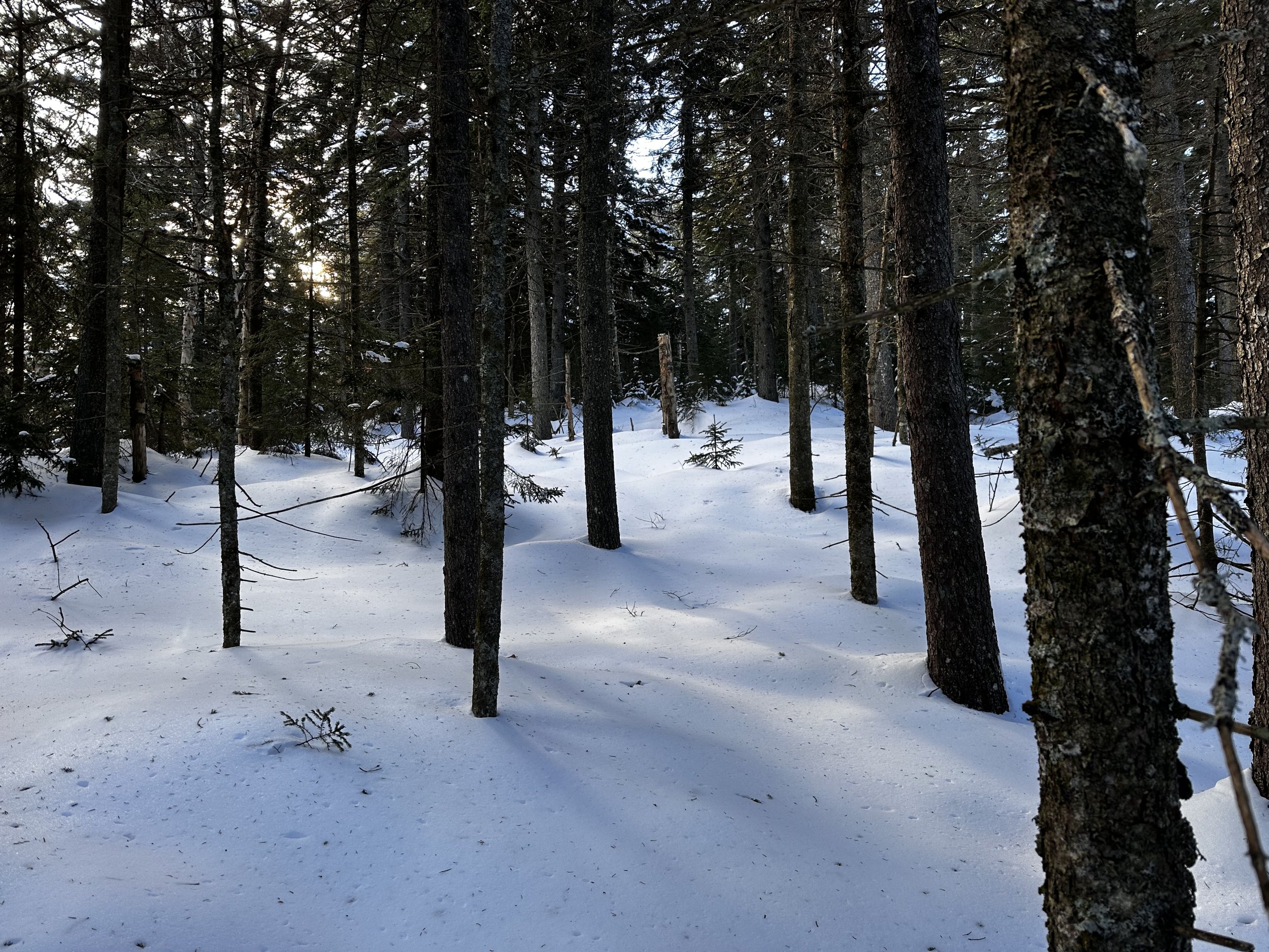
Postcard-quality snowpack
At 2,550’, I was swinging clockwise to follow the contour of the glacially scoured peak. Finding myself in perhaps the most beautiful coniferous forest of all time: thick trunks of about 6-8” in diameter occupied the high col as far as I could see into the surrounding hillsides. Conifers, devoid of any lower limbs stood free of any neighboring trees for an airy 4-8’ on essentially all sides - trekking through this stretch on such a supportive snowpack was what winter snowshoeing, for me, is all about.

Smaller of several hobblebush patches
The final approach to the summit was possibly the most taxing push of the entire morning excursion - yet, overall, still easy. With minimal desire to push through snow-laden conifer boughs, this was the only instance of the trek where I encountered heavy snow in any evergreen boughs. Several moments were taken, glancing back and forth around tall, bushy balsams. Hoping to avoid any soggy snow dumps this morning, I reluctantly pulled up my Gore-Tex hood, and worked my arms as if to “swim” through the stiff boughs.
Just as on the North Peak, the main Catalouchee Mountain featured a scrappy wall of younger softwoods guarding the more open, mature conifers of the ultimate high point. As I placed final snowshoe steps up to the red tape-wrapped glass jar, I thought briefly of my luck that morning - it appeared as if I was now standing directly atop a packed-out moose bed - but, alas! This was simply the wide area created from other snowshoes as they traipsed around the recognized high point.

Entering a stunning birch glade
After taking a moment to sign into this summit register log as well, I returned its contents, and began following the others’ tracks downslope. Knowing that I had not passed their tracks during my approach to the main peak, I had a rough idea of their route in my mind, thinking that their tracks might make for efficient descending. Through one pair of interwoven spruce, I followed - thanking my fellow bushwhackers for effectively clearing all snow from overhead boughs.

Catalouchee Mountain summit
At this point in the blue-sky morning, as I descended southeastwardly off Catalouchee Mountain, I gazed into the baren canopy to witness a slight breeze rustle through - the scene contained countless sources of sparkles, overhead branches glistened, gently swaying in the light breeze; each icy branch catching sunrays at varying times, casting countless rainbows and color bursts into the air.
As the grade tapered, I was still following the older snowshoe tracks, wondering where it merged with the snowmobile road - I could not recall seeing any tracks earlier in the morning, although I had also not known to look for any. Several rods north of a large, trailside pink surveyor tape ribbon, I rejoined the groomed track. With mountaineering boots strapped to the Tubbs, I increased the downslope pace to a comfortable 13-minute/mile trot, simply because the conditions allowed.
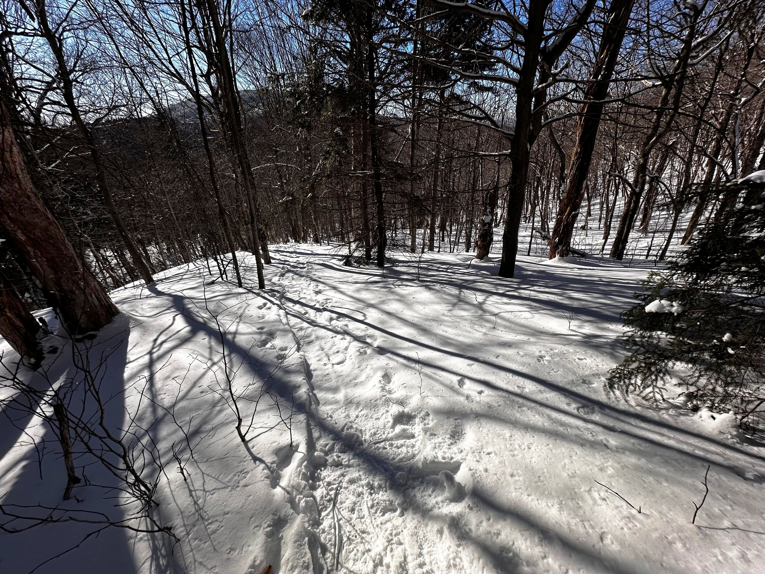
Bushwhack descent through icy, open woods
Nearing the small trailhead parking area, I began seeing another boot tracks - these were sans snowshoes and sinking 4-6” with each step. The bareboots had even stepped so hard they shredded the compacted snowmobile track. While I do not intend stand atop my soapbox during this trail report, I do find it unnervingly selfish that hikers will willfully embark on a trail knowing they are without proper winter gear - such as snowshoes. Perhaps the New York State agencies had the right idea when they put into law requiring snowshoes in the backcountry - please respect trails and those who use them.
Overall stats for the day:
7.08-miles
2hr 37 minutes
1,955’ elevation gain
North Catalouchee Mtn - 2,338’
Catalouchee Mountain - 2,647’