Waterville Valley Skyline Loop
Not long after trekking what I had dubbed “The Mad River Notch Loop”, a longer distance backpacking route consisting of the western portion of this Skyline Loop, I began hearing discussions of this even grander trail running route and recalled thinking to myself, “the Osceolas and Tripyramids all in one day?!” It was a newer route, an alternative to the infamous Pemi Loop, likely created by a trail runner who needed more out of their morning run, but was established as an official route by the Waterville Valley Recreation Department in recent years.
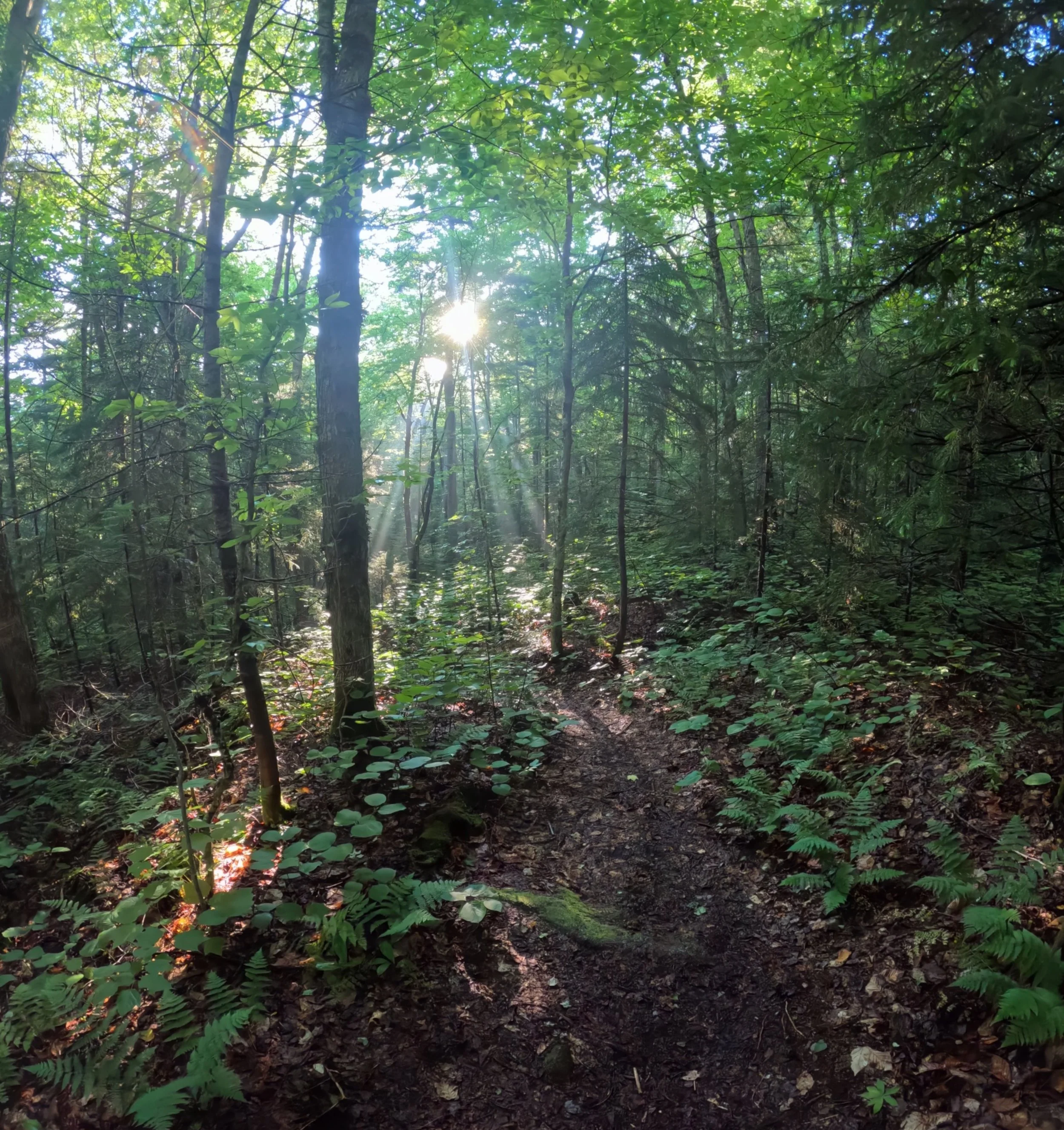
Early morning sunrays along the Skyline Loop
Much like the Mad River Notch Loop which I put on the FKT.com website many years ago, the Skyline Loop is advertised as a two or three-day wilderness adventure geared for backpackers and wilderness seekers. Toward the end of May, once higher elevations had shed most of their snow, I basically trekked the route advertised in the WVRD (Waterville Valley Recreation Department) brochure, except, I thought I was improving (my opinion) the route by going clockwise and substituting the slide climb up North Tripyramid in place of the Scaur (Ridge) Trail, which left me with no desire to pay a visit to Snows Mountain at 6pm that afternoon; while content with 28-miles of rugged terrain, I still wanted to trek the actual brochure described route.
During a visit to the Mountain Wanderer, I had picked up a colorful tri-fold brochure from the WVRD complete with map and details of the route, I had also browsed over the Black Bear Trail Race in Waterville Valley, which is hosted by Aravaipa Running each August and featured many miles and mountains contained in the Skyline Loop; this may be where I discovered the notion for running this route counter-clockwise, either way, I wanted to experience the Skyline Loop the way it was intended, every mile and every mountain.
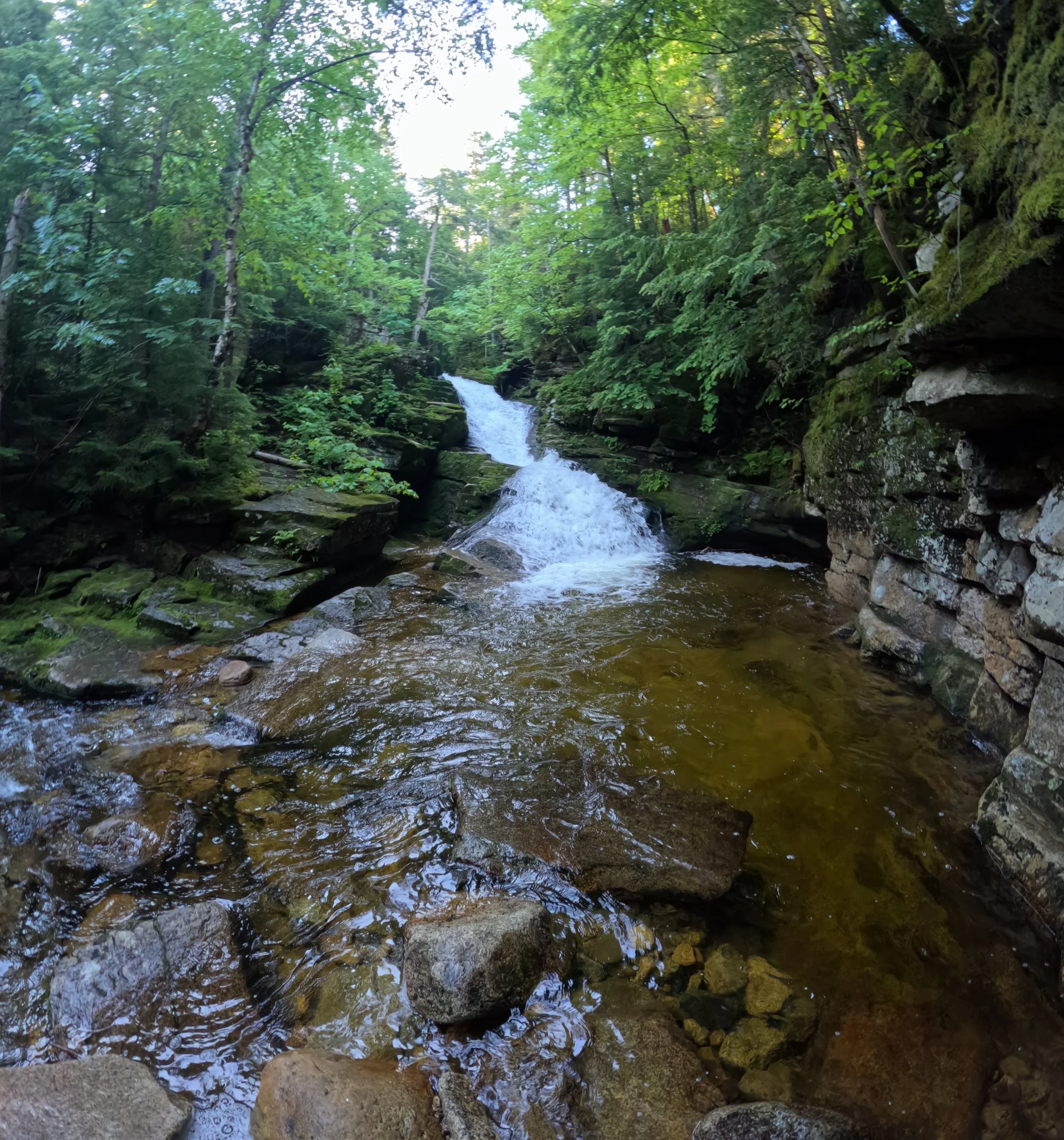
Flumes along the Cascade Path
Pulling into the Livermore Trailhead, I paid my $5 to the National Forest Service for parking and utilizing their vault toilets pre-run. This is a larger parking area which sees a lot of mountain bike and foot traffic throughout the day, which meant my car would hopefully be safe during the course of the day; the only variation to the brochure map would be utilizing my car at Livermore Trailhead as my aid station near the halfway point at mile 16, to refill hydration and trail snacks, also to swap out shoes or gear, if need be.
With the newer UltrAspire Altruist 28-liter running pack toting my gear, I began southward along The Connector path as the sky began to illuminate just enough to not need a headlamp. Footing began smooth and easy along the old dirt and gravel logging/forest road as the Mad River flowed to my left, creating a lovely soundtrack to which birds began contributing to as the forest awakened for another day.
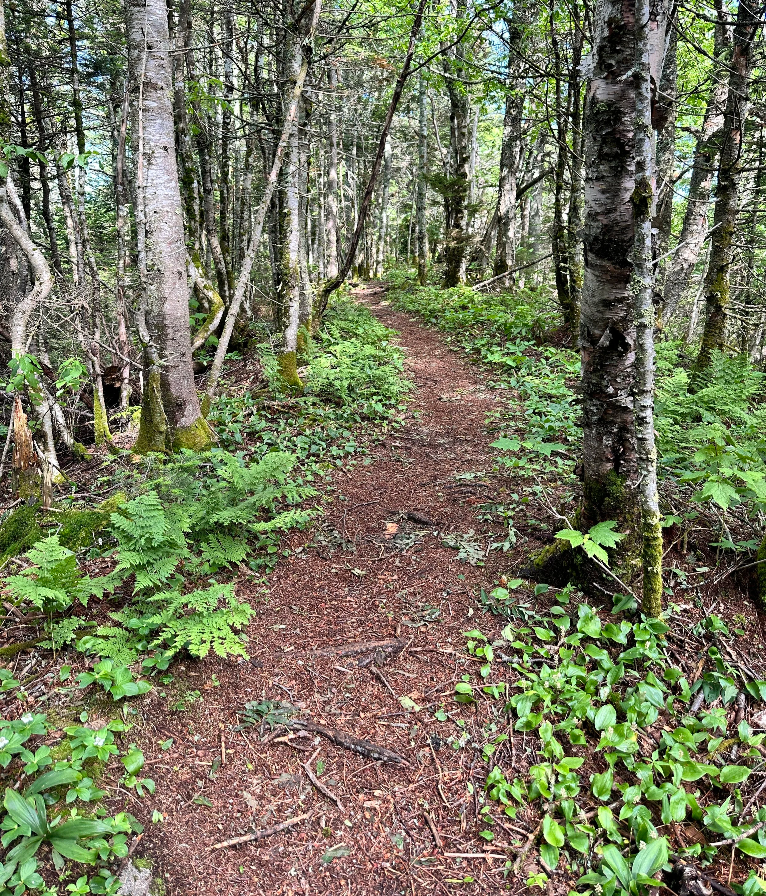
Soft paths of Waterville Valley trails
Bearing left (east) on West Branch Road, I crossed over the river on a bike path alongside the main road and began toward the Waterville Valley Academy. Following the route which I had programmed into my Coros Vertix 2 watch, the prescribed track had me follow sidewalks around the Training Center and right through the patch of tennis courts; thankfully, no one was around at 5am; the pointy, conical rises of Noon, Jennings and Sandwich Mountains created a rather dramatic backdrop from this vantage.
Following Snows Mountain Road, I diverged upon reaching the yellow signed WVAIA (Waterville Valley Athletic & Improvement Association) trail and cautiously began up a driveway; a bizarre place for a trail, I thought. After searching just to make sure I was on the right path, I found a second yellow WVAIA sign on the side of the homeowners shed; the trail entry point was found just to the other side - of note, there is no parking for trail access in or around this driveway, parking may be found back at the Academy.
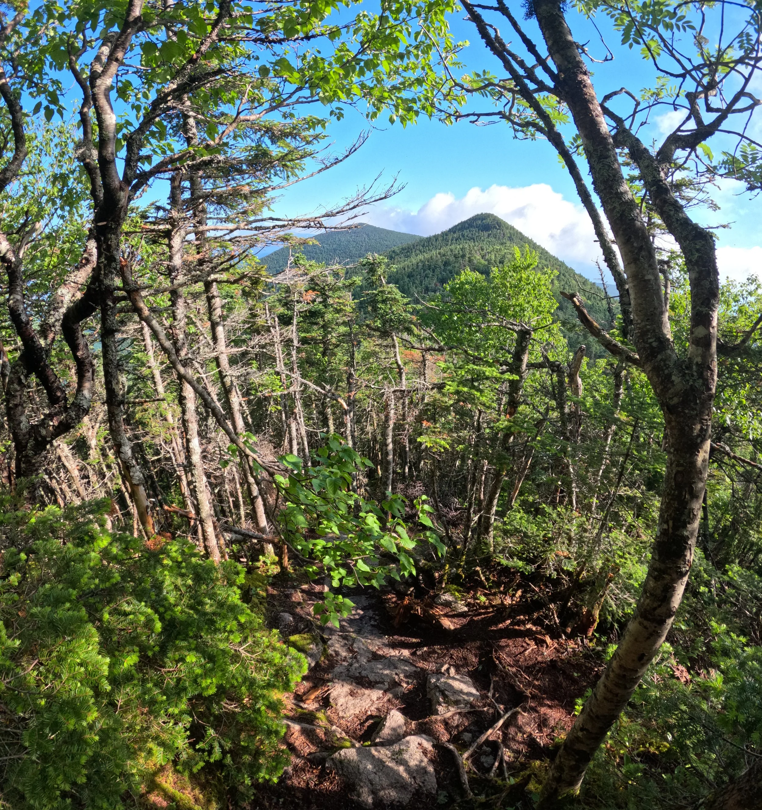
Middle + North Tripyramid from the South Peak
Relieved to finally be on actual trail, the climbing began gradually over rocks, old leaves and forest duff. Meandering around old white birch, the hobblebush and fern-lined pathway soon begins through a tunnel of conifers just south of Snows Mountain ridgecrest slope. Just beyond the spur trail which leads to a fine outlook into the Sandwich Wilderness, the Snows Mountain Trail swings to join its northerly counterpart. Continuing eastward briefly will bring hikers to the rocky knob of Snows Mountain where vistas are overall restricted and mountaintop is not signed.
Continuing on, the Snows Mountain Trail is rocky as it zig zags and switchbacks, proceeding downslope along the ridgecrest proper. Crossing the Rough Rider cross country ski trail/logging road, I initially missed where the hiking trail re-entered the woods at a small cairn which had been overall overtaken by ferns and grasses; back on the footpath, however, the path is nearly unmistakable, but I found myself wanting the fine footing of XC trail which remained visible just through the woods on my right.
Climbing steeply along shattered boulders of the Greeley Ledges Trail, again, I got off-trail just as a worn herd path of sorts continued straight, following a ledgy rock band to a shallow cave. With a quick consult of the map, I retraced my steps several paces upslope to locate the last painted blaze and followed the pathway along the crest of the rock band and to the top of the chair lift and Bean Bender Ski Trail. Once again, the footpath was not entirely clear, with a quick map check, my instinct was to follow the grassy ski trail downslope for a bit to where I located a sign indicating the Elephant Rock Trail diverging into dark, shadowy woods.
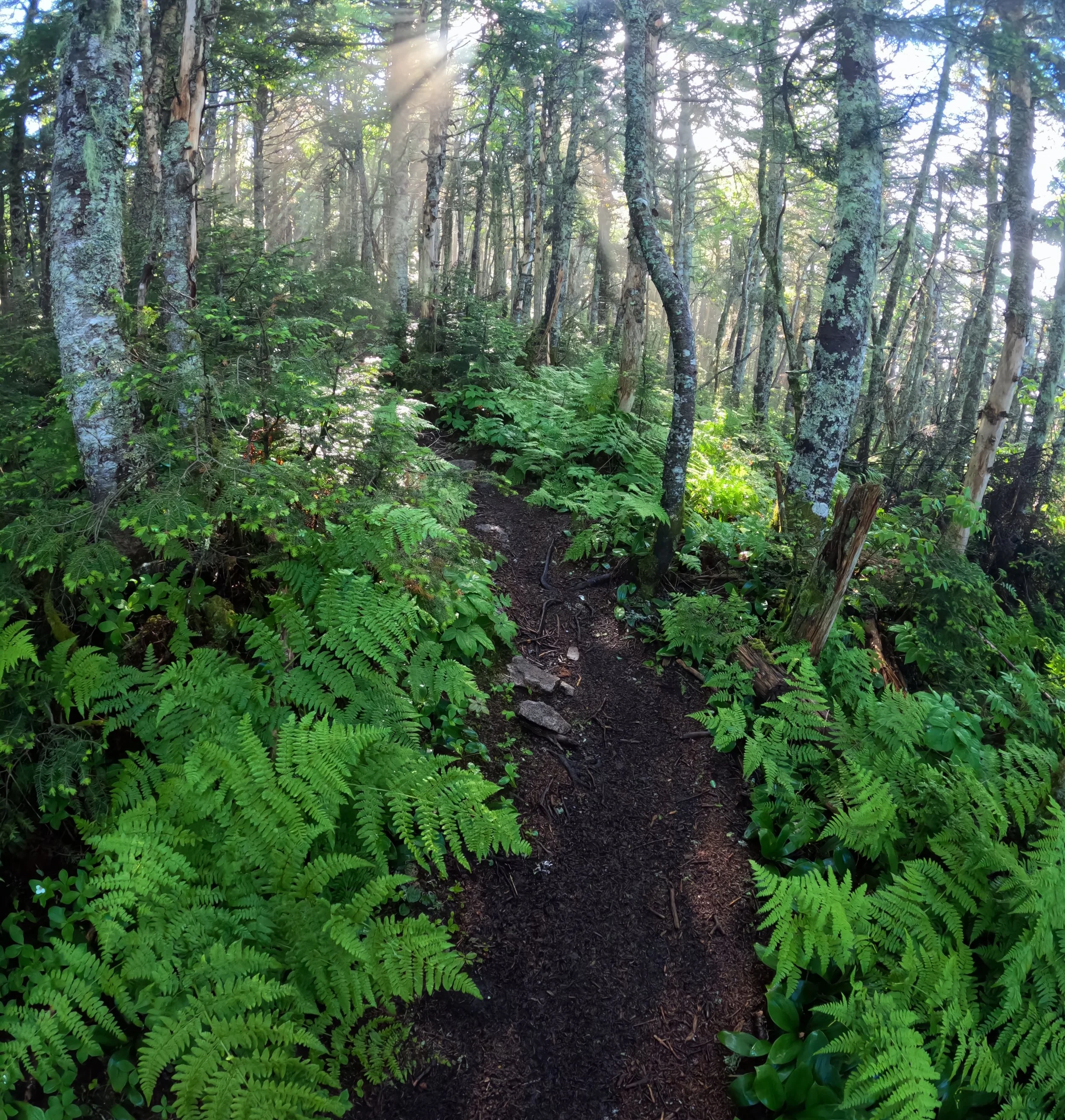
Ferns + fir groves trailside
Onto the wide, Cascade Path, the morning sunshine began slicing through the hardwood leaves in the canopy creating a gorgeous scene - beams of crepuscular rays in the dew-filled forest air. The overall good footing of this section allowed for some side-hill cruising through the forestscape; the upper Cascade Trail, where the flumes and waterfalls are located, beckoned a reserved pace to accommodate constant photographing and just taking in the sights and sounds of morning in the wilderness.
Swinging left onto the Upper Snows Mountain Trail, a multi-use, XC trail which was more-or-less a wide, old logging road, offered more cruisy footing. Back on familiar FR 53, also known as the Livermore Road, which is primarily used for hikers accessing the Tripyramid peaks. Having trekked the Mount Tripyramid Trail loop many times, today would be my first instance of venturing counter-clockwise along its course. Several weeks prior, the crossing of Avalanche Brook had resulted in wet feet, but today, water levels had dropped considerably and crossing was much easier atop dry rocks and boulders.
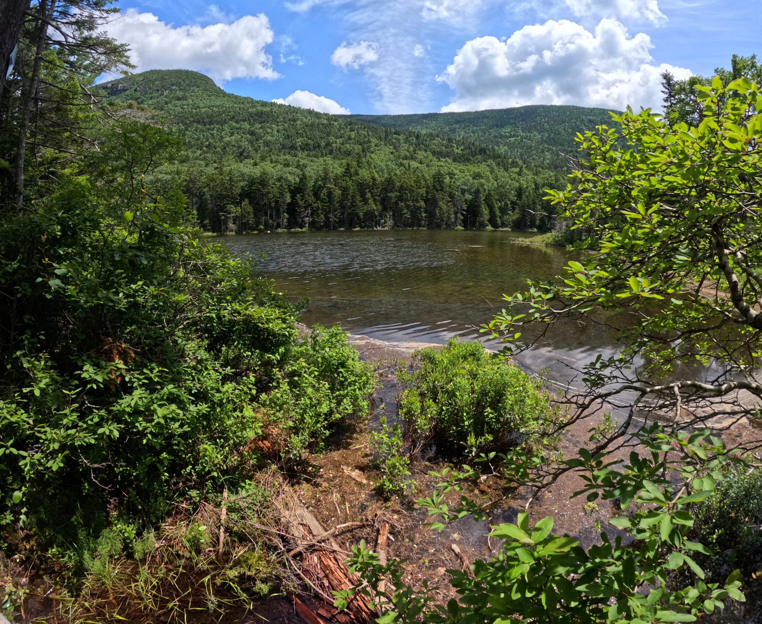
Pondside at Greeley Ponds
The lower woods of the Mount Osceola Trail are rich in ferns and hobblebush, with massive, twisted, old white birch rising every so often; given the scene, I always expect to find a moose bedding in this section, but have yet to encounter/surprise any through here. Following alongside Slide Brook, the trail enters the drainage of the old slide around 3,020ft and follows its loose and rocky course until hikers emerge from the woods and onto the sandy, scree and rock-filled slide. For a majority of my descents, the South Slide area is treacherous simply because the footing is so dry and loose, but today, given the morning dew still in the air, footing remained compact and solid - it was the open, lichen-covered rock ledges which were slimy and slick as ice!
Nearing the top of the South Tripyramid slide, hikers scale massive, haphazardly strewn boulders as the trail passes the Kate Sleeper Trail on the right (ascending) and becomes much more of a scramble; the final, wooded section is steep and eroded, but becomes increasingly gradual and fern-filled as one nears the actual high point of the mountain. For years, there used to be a large rock cairn denoting the summit of South Tripyramid, but this seems to have been dismantled in recent years.
Beyond the summit of South Tripyramid, the Mount Tripyramid Trail slices and meanders through a tight fern grove before opening somewhat and beginning its gradual ascent to the middle peak. A steep pitch of rock and open ledge brings hikers to a secluded, rocky resting place with a generally east-facing lookout, just beyond the high point is also a narrow cut in the forest canopy, which affords a glimpse of the Sandwich Wilderness and Mt Tecumseh (Waterville Valley Ski Area).
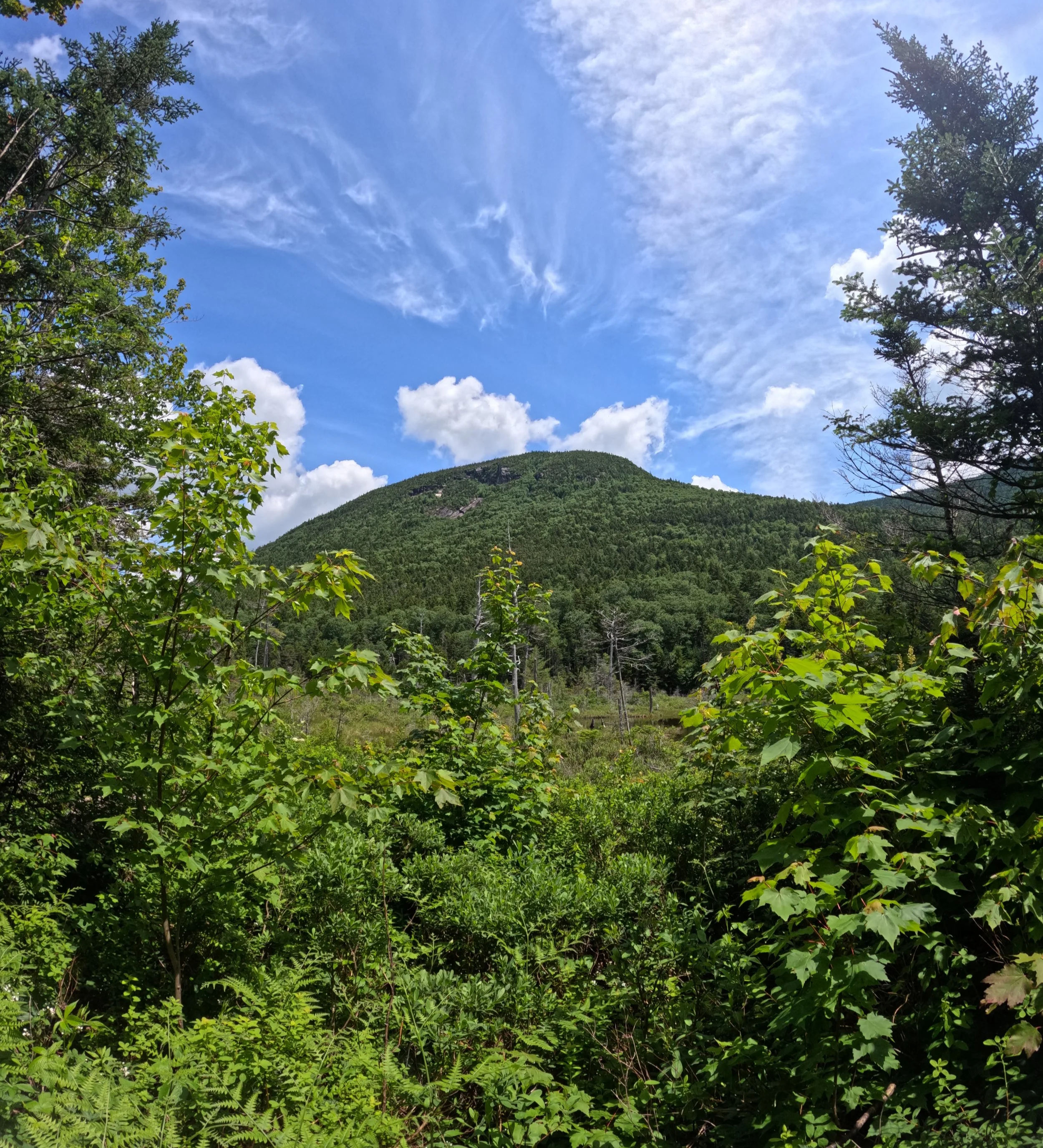
Sights from within Mad River Notch
Descending the rocky, upper section of Middle Tripyramid, a classic east coast pathway comprised of dirt, root and rock leads hikers toward the highest of the trio, North Tripyramid with its anticlimactic mountaintop (views are found along the slide itself). Having only ascended the Pine Bend Brook Trail once, and in absolute darkness, it was nice to experience this rugged section once again; I recalled open ledge and boulders of years prior, but this section was steep and very rocky - many trees were utilized to aid in a controlled descent!
The Scaur Trail seemed to gradually descend for miles; a long, low-grade downslope with good, runnable footing. I found myself in mountain runner paradise with several small brooks to hop, the path was otherwise very cruisable as it side-hilled the southern aspect of its namesake, Hundred Highest peak. Merging with a rocky and grassy, old forest road, it took me about an eighth of a mile to recognize I was now back on the upper Livermore Trail, the viridescent forestscape had grown-in considerably from several weeks prior!
After a long, gradual ascent via the forest road, Livermore Trail crested and I diverged onto the Old Skidder Trail. Such a feeling of remoteness came over in these woods, feeling much further distant from bustling, four-thousand-footer peaks and paths than one really was. Through this stretch of woods, I passed several folks, none of which seemed to be in any real hurry, just strolling along, walking their dogs and basking in the fern-filled wildscape. Passing a small, curious landslide area, there is a short spur trail option to visit the Waterville Flume viewpoint.
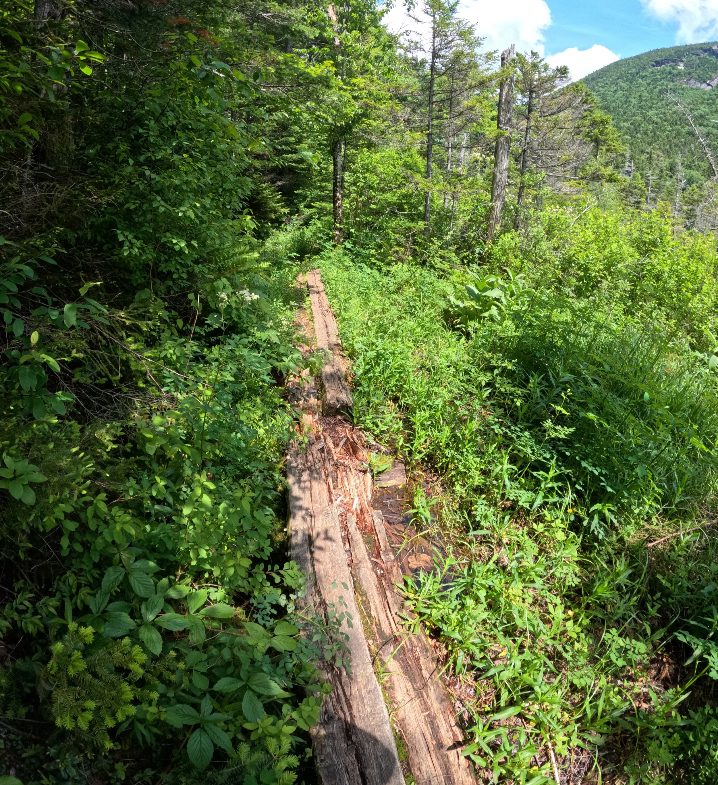
Old bog bridges of Greeley Ponds Trail
Following Irene’s Path, the trail briefly becomes rugged and steep as it ascends the hillside on rock steps and navigates around trailside boulders; I could recall this section from weeks prior, but with the sensation that I had now missed the spur trail to The Scaur lookout, I proceeded to descend much further than expected, then found myself at the signed junction. The remaining descent along The Kettles Path was steep but footing was good, drainages were in place and evidence of recent trailwork was evident, massive rocks elevate the footpath above flood water, which was bone dry during my early summer visit.
With a brief out-and-back along Livermore Road to refill hydration soft flasks at my car/aid station (Livermore Trailhead), I began northbound along the Greeley Ponds Trail, having just hit my halfway point for the day. I have always appreciated venturing along the Greeley Ponds Trail, admiring and noting the closures and re-routes along its course; Goodrich Rock is a fantastic destination as well, but not one I would be adding onto this 30+mile outing.
Passing the Timber Camp Trail, the original course of the Greeley Ponds Trail can still be seen continuing straight, into overgrown woods, these days, however, it switchbacks on itself and descends steeply to cross the Mad River on a wooden bridge, which has seen better days. Rising, switch-backing and descending once more, the trail follows the Mad River, crossing it at one point atop boulders as we begin toward the western shore of Lower Greeley Pond.
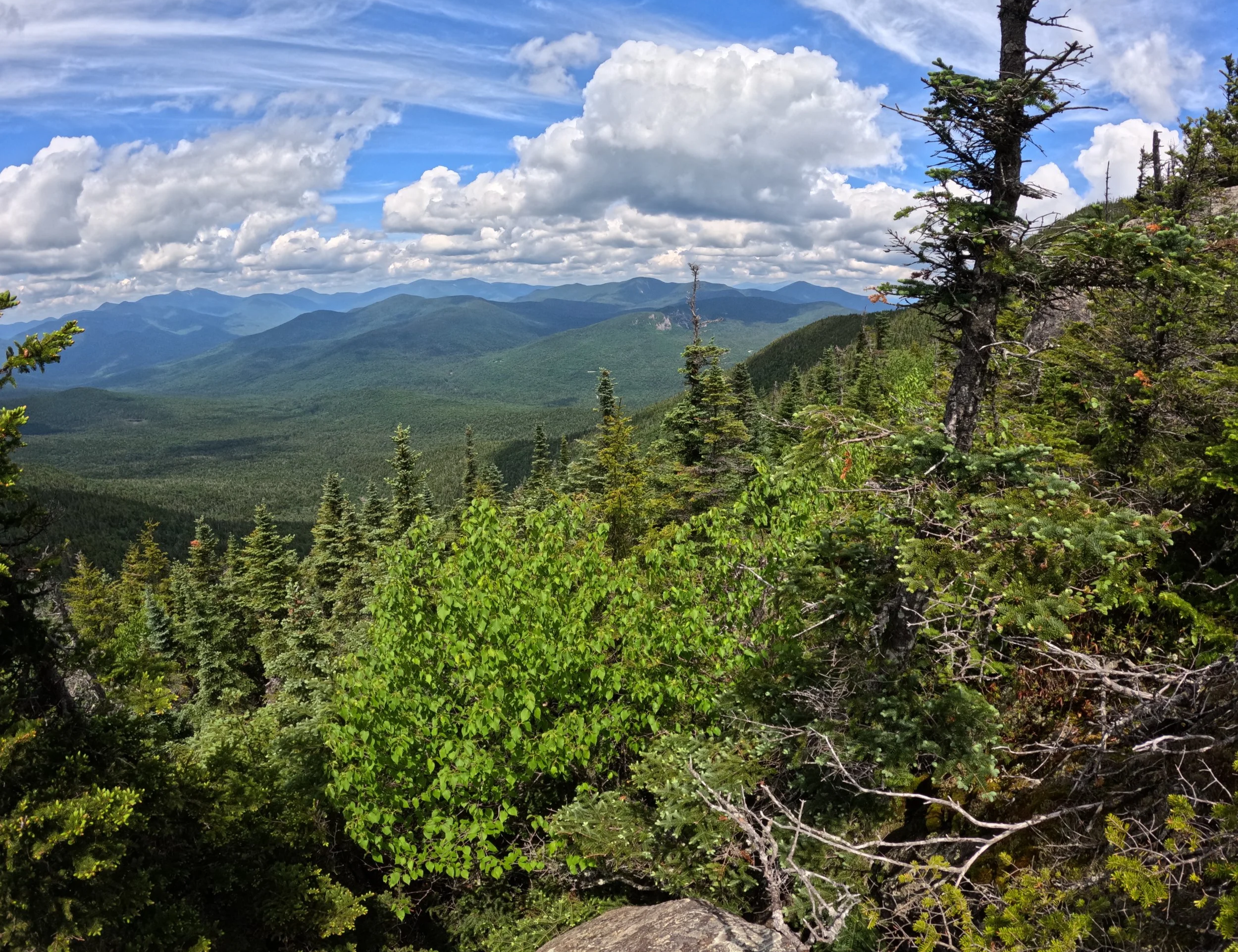
Glimpses into the Pemigewasset Wilderness
This area can be muddy and have wet footing at times, the old logs which work to elevate the trail are degrading and at this point, basically becoming one with the forest once again; the massive nails which once held the wooden boardwalk together remain sticking up from dilapidated logs. I have always enjoyed the section of trail which skirts along the western shore of Upper Greeley Pond, as the shimmering pond surface itself remains visible just through the narrow band of conifers; given its close proximity to the Greeley Ponds Trailhead located on the Kancamagus Highway, this is often a popular spot for pond bathers and folks fishing.
In the heart of Mad River Notch, ski trails and hiking trails converge while the Mount Osceola Trail now diverges westwardly. Immediately, the trail begins to climb steeply along an increasingly eroded trail and rounded over boulders. Occasionally, the path levels to meander and swing past gigantic erratics and boulders, but generally, this is a steady, steep climb! At one point, a fine lookout viewpoint is offered at the base of a small rockslide area, beyond this, the trail remains rugged and steep as it climbs rock ledges which culminate in a short scramble up an iron-colored rock chute. At the top of the pitch and to the north several paces, hikers can find another lovely resting spot and panorama of the Osceola peaks which spills into the greater Pemigewasset Wilderness.
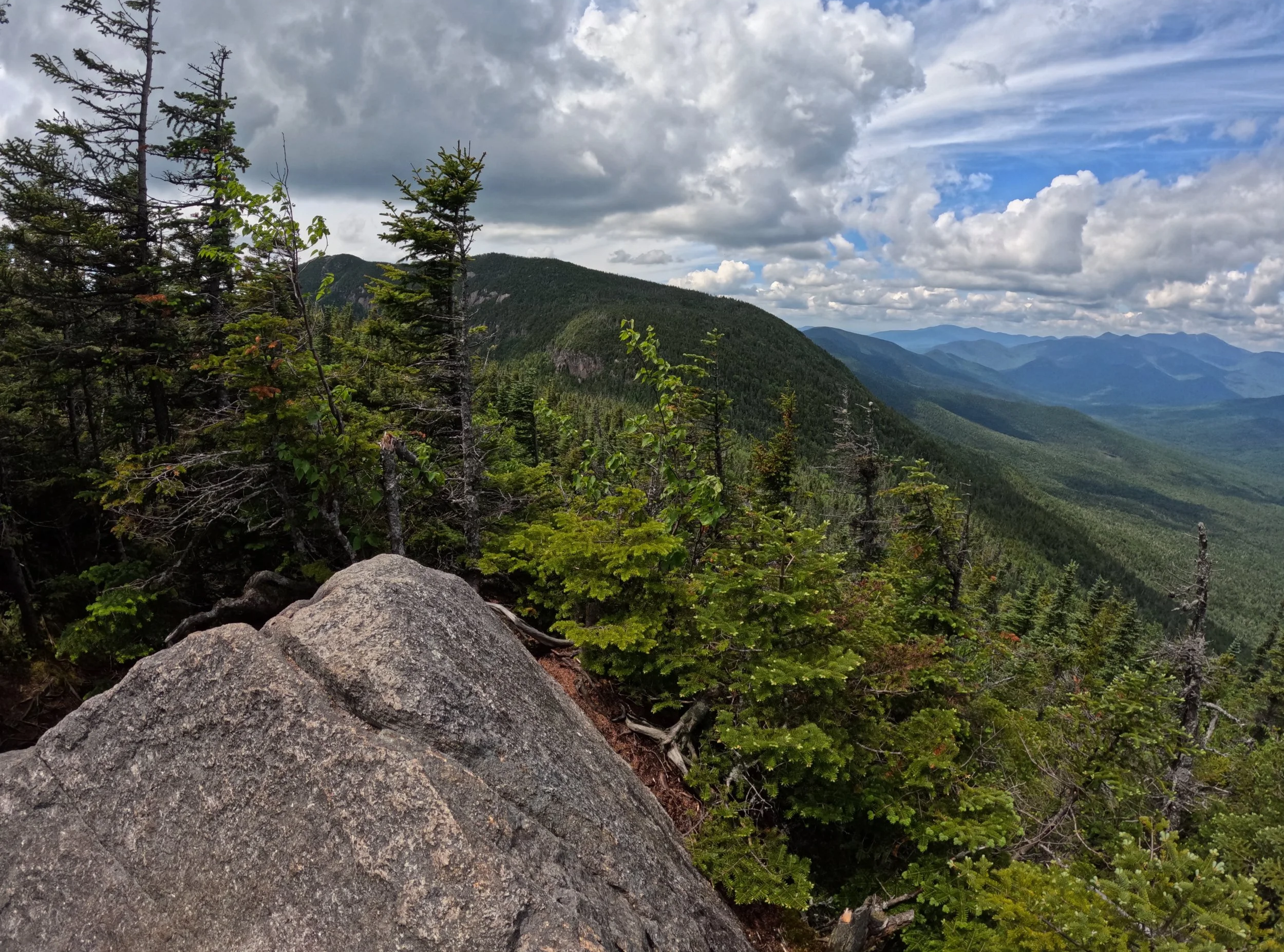
Shoulder of Osceola range from East Peak
From here, the trail continues to climb, now over much more gentle footing, until reaching the large cairn signifying the high point of East Osceola (Mt Osceola’s East Peak). Dropping off the summit cone, there are two small, trailside lookouts of the upcoming terrain; the trail is rugged and rocky, often necessitating hands and careful foot placement for the initial pitch off East Peak. Footing becomes much easier as one reaches the col between the two Osceola’s, and for the initial pitch up the main peak, there is a rocky feature referred to as “The Chimney”, a chute of steep rock, which offers good foot and handholds, but can be intimidating to those who do not like heights; alternatively, there is a short path to the west (climbers right) which will avoid this steepest section.
After several rock slabs and bumps in the mountainside, the pathway emerges at the wide, flat summit top of Mt Osceola; foundations of its old fire tower can still be found; a wide panorama of neighboring peaks from east to south can be enjoyed before continuing along the Mount Osceola Trail. Descending along the shoulder of the Breadtray Ridge, the trail sidehills some curious, off-white, eroded rock faces before continuing its switch-backing course through the hillside. Passing several small brooks, the trail is rich in boulders, which makes for a much more enjoyable descent than climb, in the authors opinion.
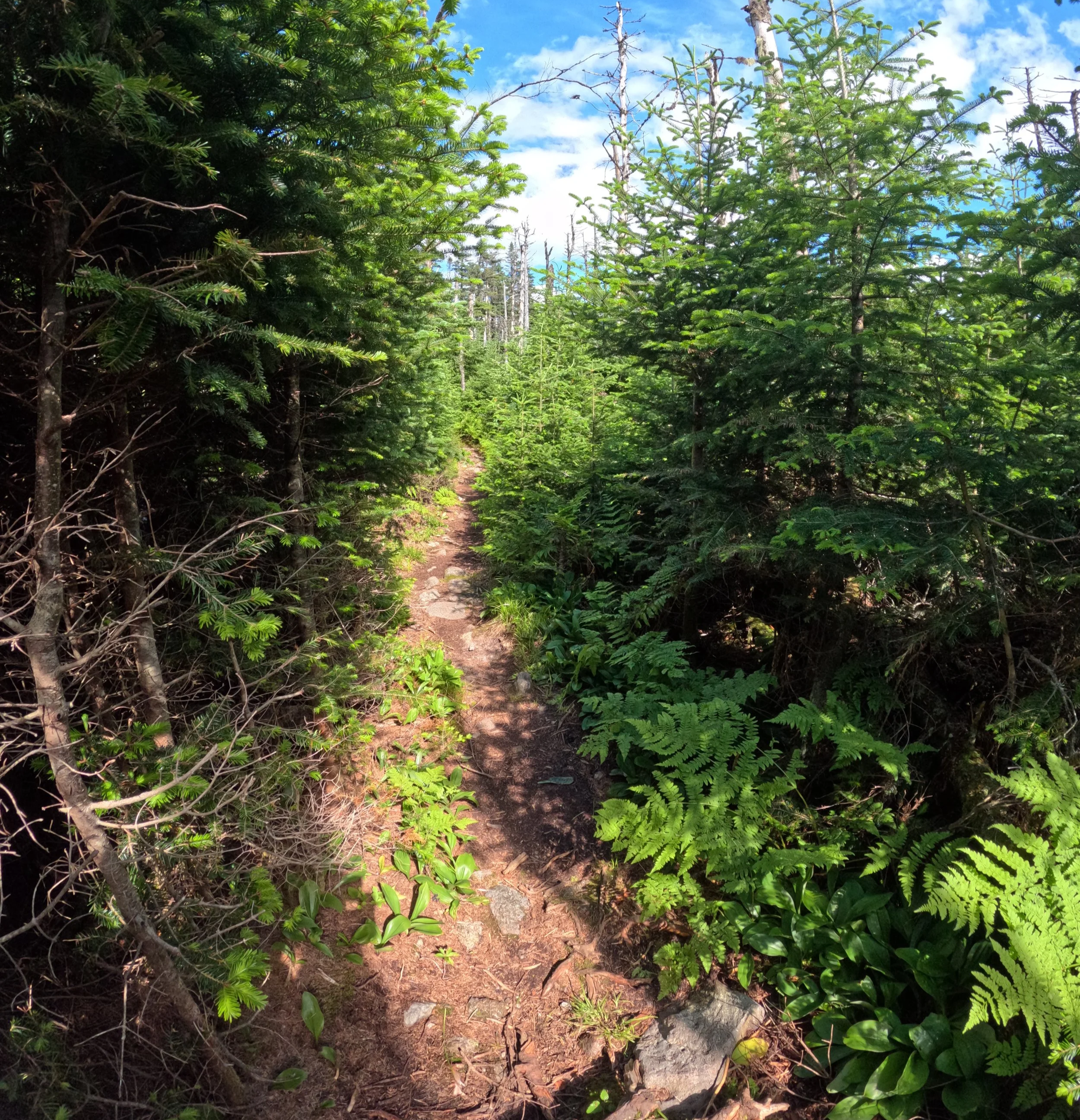
Strolling between Mt Tecumseh peaks
During this trek, foot traffic increased exponentially along the Mount Osceola Trail, especially when nearing the Mt Osceola trailhead located along the seasonal, Tripoli Road. In this parking lot, hikers can access vault toilets, but I simply continued westbound out of Thornton Gap, descending down Tripoli Road past a line of vehicles which flowed over from the main trailhead parking area. The route traces this dirt and gravel forest road for about 1.2-miles before leveling somewhat at the trailhead for Mount Tecumseh.
Generally, a much less used trail than its northern counterpart, located in the Waterville Valley ski resort parking lot, this section of trail offers much better footing along its course as it begins across a brook and upslope through gorgeous, northern hardwoods. Passing several massive, moss-covered boulders, the forest transitions to conifers which emerge from a mossy forest carpet - just a beautiful sight and magical place to find oneself!
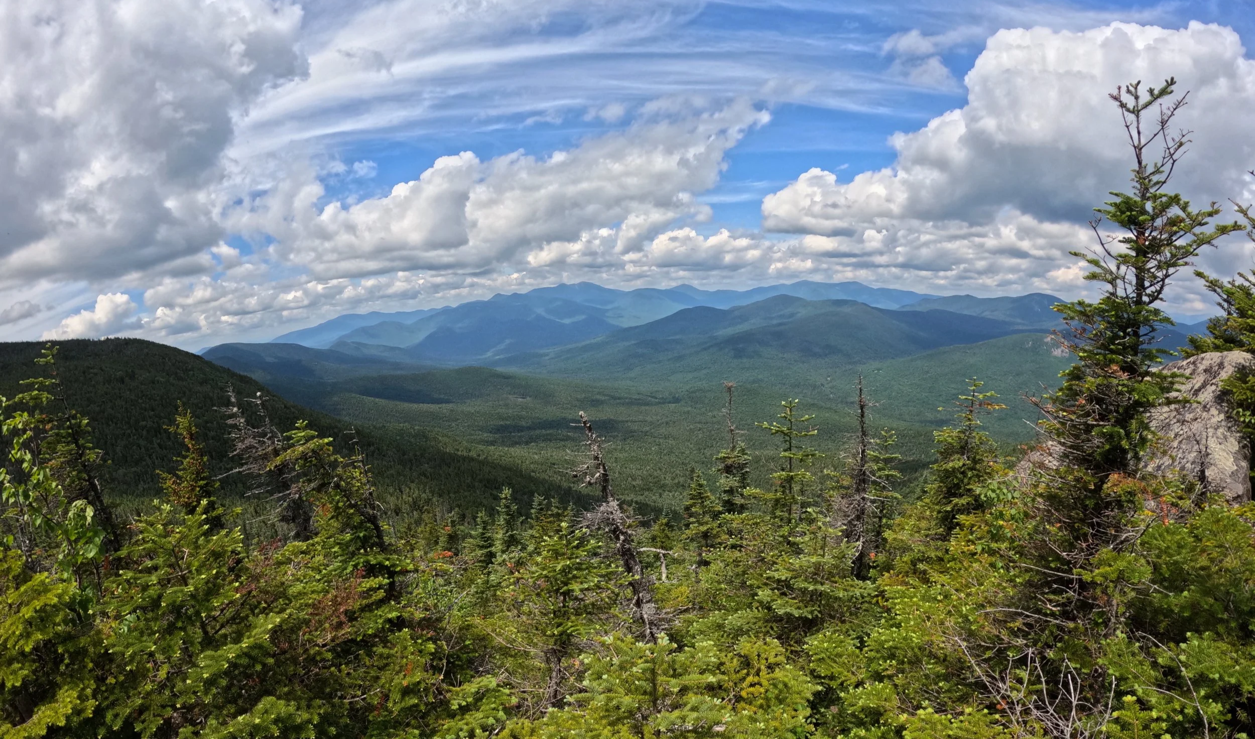
Mountain views
A narrow, rocky pathway (which was blanketed in moose droppings of old and new!) leads from Mt Tecumseh’s northwestern sub-peak to the main event, whose summit was chock full of day hikers and summit seekers enjoy snacks; my focus was on the gorgeous fir grove of balsam which comprised the upper summit cone of the mountain. A somewhat restricted, but still enjoyable view can be found from atop this four-thousand-footer, glimpses of where I had been earlier in my day were fun to observe and question, “did that really just happened?”
Departing the summit area, the main trail off Mount Tecumseh back to the ski resort is one of many, many rock steps and stone staircases. Partway down the hillside, a short spur leads to the ski slopes for a stunning glimpse of the Tripyramids. Passing over Tecumseh Brook in a shallow valley, there is one final, small clamber up a ridge before at last making a, long descent back to the Livermore Trailhead and National Forest Service parking area. Tracing along the ski resort parking lot, the Skyline Loop route pays the woods one final visit as it joins the Pipeline XC Trail enroute to the paved section of Tripoli Road and upon crossing the West Branch of the Mad River atop a wooden bridge, the large, brown and yellow, White Mountain National Forest sign for Livermore Trailhead comes into view; Skyline Trail: Complete.
Overall stats for the day:
33.6-miles
11,276-ft elevation gain
12-hours 35-minutes
Snows Mountain - 3,032ft
South Tripyramid - 4,114ft
Middle Tripyramid - 4,135ft
North Tripyramid - 4,160ft
The Scaur - 2,320ft
Mt Osceola - East Peak - 4,161ft
Mt Osceola - 4,328ft
Mt Tecumseh - NW Peak - 3,781ft
Mt Tecumseh - 3,995ft
For more information: https://www.hikewatervillevalley.com/skyline-loop