
Profile Rail Trail
A short distance east from the esteemed Franconia Notch, and several miles west of Twin Mountain, New Hampshire, is a place indicated on maps as simply: Five Corners. For years I drove past this small parking area, simply writing it off as overflow parking for Mount Garfield, across the highway. In winter, I would note the sled tracks veering down the old, forested, trail corridor; in warmer months I would gaze at topographic maps of this region of the White Mountains, just wondering what it may have been that drew walkers, runners, hikers, skiers, snowshoers, and motorized recreationists to this relatively small trail network - it isn’t until stepping foot on the trail that we can see the beauty of nature awaiting all.

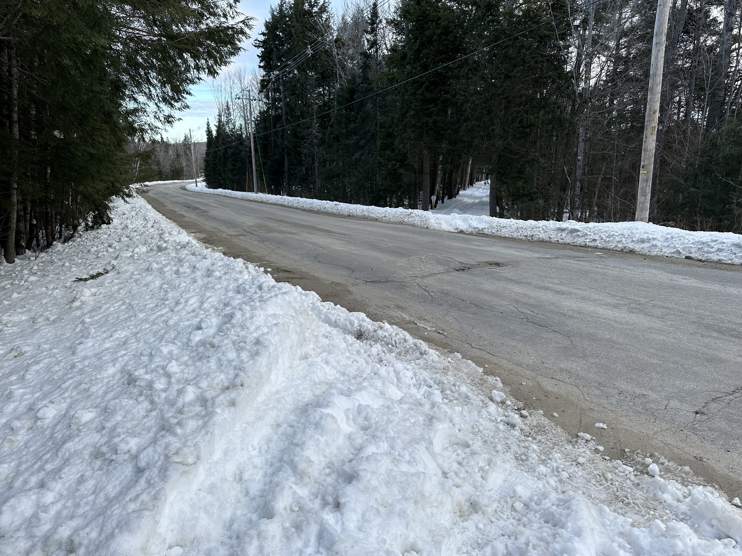
From the side of Route 3, I could see the USFS gate had been closed and locked, likely detracting motorized, vehicular traffic from any soft, and soggy trails as we re-enter springtime mud season. The northeast received another bounty of snow dumped on the region following nearly all lower elevation snow having melted in the recent weeks of abnormally warm temperatures. Now, with +18” of powder covering much of the mountainous region of the state, this was scheduled to be one final snowshoe romp before packing them away until next snowfall.
The 2.1-mile length of trail which I wanted to explore this morning is generally known as the Profile Recreation Trail, or to some as the Profile Rail Trail, as its trail bed was appropriated directly from the abandoned Profile + Franconia Notch Railroad. While this tale is in no way trying to supply a full history lesson on Franconia Notch tourism and transportation, this branch line caught my attention while studying old maps as it formed a wooded, southern spur off the Boston + Maine Railroad mainline, which ran generally from Bethlehem to Fabyan’s Hotel, and subsequent points beyond.

Early along the Gale River Road to catch the Rail Trail
Originally, constructed between 1879-1881 by the Gale River Railroad for their logging purposes, this narrow-gauge railroad was soon purchased by the Profile + Franconia Notch Railroad (which was a subsidiary of the hotel enterprise) would bring guests from Bethlehem Junction, south to the Profile House in Franconia Notch - this graded railroad bed would provide a much smoother ride than the 3-hour stage coach rumble guests would have to endure in years past! The P+FN RR operated this corridor as only a passenger line from 1879 until 1921; US Route 3 took over much of the railroad right-of-way as it meandered from the current rail trail bed to the Profile House train depot. When not covered in a blanket of deep snow, some interesting artifacts can still be found while wandering the woods in this area.

Southward views toward the Pemigewasset wilderness
With enough space for a car or two following the recent snowstorm (generally, this large parking lot can accommodate a handful of vehicles comfortably), I began in snowshoes and followed a narrow trench created by yesterday’s ski and snowshoe traffic, away from the Daniel Webster Highway (US Rt 3). Along this initial 0.2-mile stretch of wide forest road, the sound of cars and trucks rattling down the highway, and most other extraneous, industrial noise slips away until trickling water and springtime chickadee calls are all that is heard.
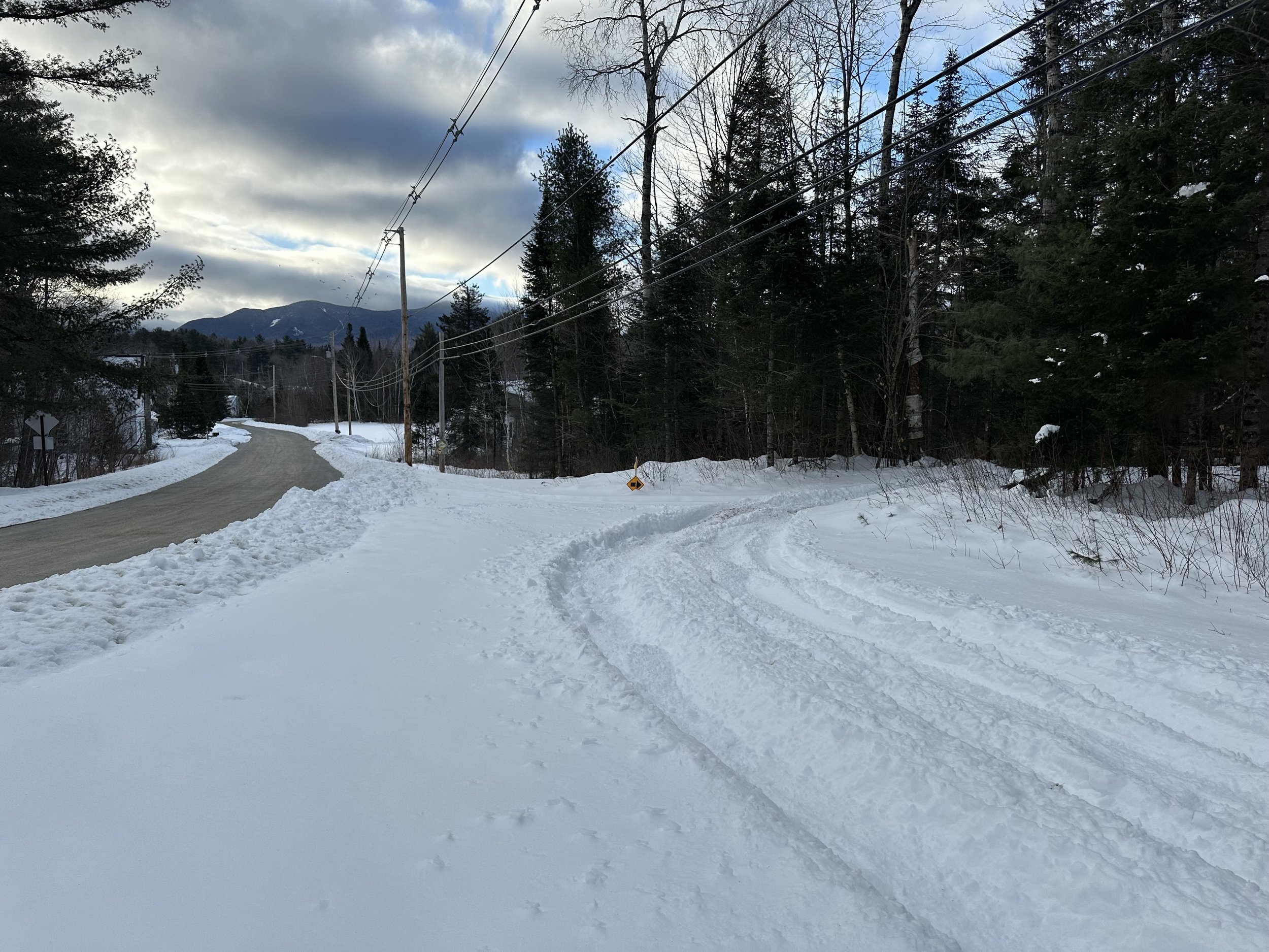
Reaching the first junction, the Gale River Road continues straight while the Profile Rail Trail proceeds right, then following a near-linear course for the first mile. While beginning to trace the old, railroad mainline, it became possible to glance back and observe the wide route of the old railroad as it swung southwesterly, diverging from today’s trail footprints. Following this rail bed for several rods, it becomes increasingly clogged with young fir - but, in one location of my brief off trail ramble, I found an old stone foundation directly adjacent to where the tracks would have been lain; a mystery for a warmer day.
Crossing Trudeau Road to follow the railroad corridor
Back on the Profile Recreational Rail Trail, the route follows between massive fir trunks, many of which are thankfully still standing. Further along the trail, it was plain to see many mature softwoods had snapped off in a gale, and were now all leaning in a row since the end of 2023. If this trail received any subsequent damage from those storms, trail maintenance crews certainly did a great job of cleaning up the scene and making the corridor usable once again. About half-way along the trail, it was obvious to see one scrappy blowdown patch of evergreen, which had once obstructed the path - thanks again to local crews for keeping our trails open!

North of Trudeau Road, strolling through a few big birches
Reaching 0.4-miles from the southern trailhead, the surrounding area begins to open up. Today, the Profile Rail Trail bisected a stunning beaver swamp/boggy area. A wooden boardwalk had been installed for guests visiting in warmer months; this morning, I could hear the wooden planks creaking beneath the frosty snowpack. Strolling through this wetland seemingly whisks the visitor away from any notion of crowded trailheads and seemingly endless winter tourism, placing them kindly in the middle of nature - from whence not a single manmade object could be discerned - aside from the wide railroad bed underfoot, or the occasional banging on steel containers, which echoed from the Casella Waste Management Facility to the east, on Trudeau Road.
End of my path on Muchmore Road
Nearing 0.7-miles from the southern trailhead, Forest Road 774 is encountered and crossed. Here, a single snowmobile track had cut in from the west and provided a somewhat hardpacked surface as we convened and continued northward. Although the treadway was nearly twice as wide as the snowshoe-ski path which I had been following, the snow was chopped up and loose. Luckily, however, all the loose, slushy snow had refrozen overnight and was helping make for several efficient miles.
As my watch chimed, as to alert the passing of one-mile, the second boggy area is encountered; again, I could hear wooden boardwalk beneath the crusty snow. Beyond the beaver activity, it was possible to notice the surface ground becoming increasingly soggy as a small drainage entered from the west - it seems as if this stretch may remain damp long after the snow melts and springtime mud dries up. Before long, Trudeau Road comes into view, although the Profile Rail Trail will side-wind a bit before actually approaching and crossing the asphalt roadway.

Passing one of the two boggy sections
Several private access roads enter from Trudeau Road, but as they proceed westerly, offer suggestions of “No Trespassing”, and “No ATVs Per Property Owner”. In front of these warning signs, the snowmobiler had gassed their machine briefly as to tear up and toss some dirt about the surface of the snow - a proper fishtail of sorts - perhaps a playful rivalry between landowners.
Beyond the crossing of Trudeau Road, at 1.8-miles, the next, short length of trail is rather enjoyable to observe: the old railroad grade had been placed atop an earthen fill, while the rail trail itself is lined with several magnificently large, white birch, which generally find an opportunity to spring to life following fire or an extreme disturbance upon the land.

Stone foundation adjacent to the old P+FN RR tracks
Reaching the northern terminus of the Profile Recreational Rail Trail at Muchmore Road, visitors can continue following the old railroad bed toward Bethlehem, or pay a quick visit to the Pierce Bridge (0.1-mi east), which spans the Ammonoosuc River at a point where the original Route 302 would have crossed the waterway. While sauntering to the northern terminus was found to be entirely satisfying, I returned to the narrow cut in the forest - the last remaining glimpse of the Profile and Franconia Notch Railroad.
Once the snow melts and temperatures encourage a slightly longer roam in the woods, I would like to explore the old railroad bed - to test my luck and see if I can follow its old footprint as far into Franconia Notch as possible without trespassing; however, it is likely the old railroad bed had been obliterated with the construction of US Route 302. Another longtime destination is the site of The Great Trestle - photographs which can be found with a quick Google.com image search are simply amazing. To know that such a feat of engineering once stood on the edge of these woods - we are tremendously lucky to have so much history to dive into around the White Mountain region.
Overall stats for the day:
4.36-miles
1 hr 33minutes (snowshoeing packed trail)
223’ elevation gain
Profile Recreational (Rail) Trail - 2.1-miles

Departing Five Corners, Gale River Road straight ahead