
Little Wildcat Mountain
When I think about bushwhacking in several months from now, it occurs to me how lucky we are, those who get off-trail in winter; to have neither crawling nor flying bugs, no oppressively hot and sticky humidity, as well as no understory of plant-life to swim through - it’s enough dealing with dense spruce and fir traps.
This was one of those hikes where everything seemed to come together in the hikers’ favor: snow conditions, forest density, weather and temperature, and trail (on-trail and off) conditions were all cooperative today.
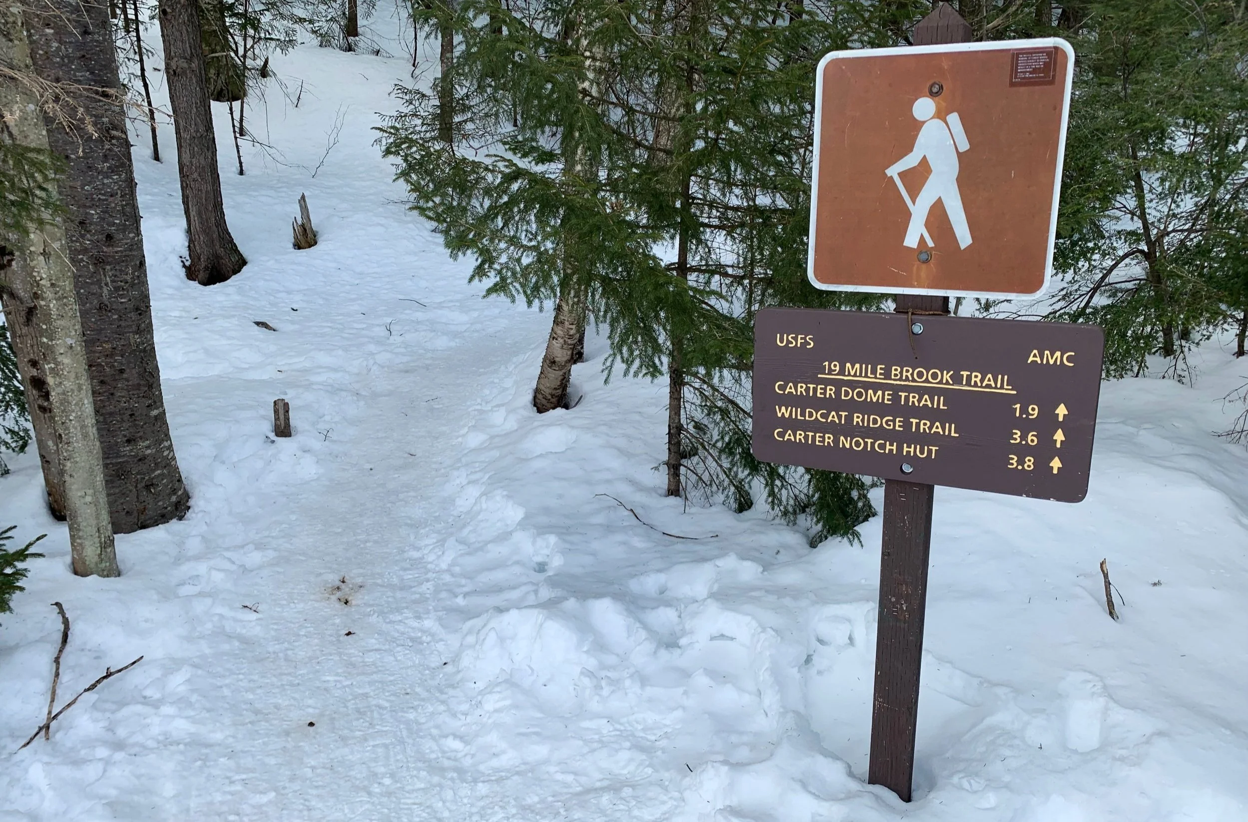
19-Mile Brook Trailhead
Little Wildcat is one of those minor peaks that I never knew existed a few years ago while running around, chasing anything that stood over 4000’. While the round trip logged relatively short mileage due to the approach I took, the sub-peak of Wildcat Mountain is actually still a hefty climb, gaining ~1,350’ in the 0.8-mile ascent up to its 3,350’ summit top.
As this peak is another trailless ascent, the starting point is at the hikers’ discretion; however, I decided to trek in along the well-packed snowshoe trench of 19-Mile Brook Trail until crossing its namesake waterway and simply following the snowy mountainside up to its high point.

Bridged crossing of a 19-Mile Brook branch
Remarkably, the Appalachia Trailhead on US Route 2 (the gateway to the northern Presidential Range) was completely devoid of cars - even in the worst winter weather I have never found an empty hiker lot, first day of Spring hiking, perhaps? Arriving at the 19-Mile Brook Trailhead, I was the second car in what was typically another very busy parking lot; however, I’ll certainly never complain of a quiet stretch of trail in the Whites.
All was still as I set off at 8:21am, thanks to a solidly packed (not icy yet) snowshoe track, snowshoes were carried until departing the hiker highway. Occasional birdcalls broke my otherwise silent surroundings, 19-Mile Brook set a calming atmosphere as it flowed over boulders and disappeared under marshmallow-like mounds of powder.

Basin at the Aquaduct Path junction
For 1.2-miles I meandered along the blue-blazed old woods road with the brook nearby until meeting up with the Aquaduct Path, which originated from The Glen House. Contained under several feet of snow is a lovely waterfall which flows into a small basin. I crossed carefully atop the old dam and clambered up the steep hillside to meet the path which evidently makes for a good ski path in winter.
Using topographic maps to depict a rough layout of the mountain-scape, I favored a plan which would have me ascend more north/northwesterly along its slope, as opposed to the steeper angle of the eastern side, knowing that I would potentially have knee-deep powder to contend with in areas.

Approaching Little Wildcat Mtn
The initial patch of tree-cover did not last long until the entire hillside opened up to hardwood, primarily of beech and birch. The view ahead, up-slope, seemed to go on almost entirely up to the top of the Little Wildcat mound; to make the situation even more favorable - the snow through this 0.4-mile stretch was nearly rock solid, very supportive and allowing for quick and efficient travel, I was in a hidden world of paradise on this Little Wildcat mountainside.
Elevation was climbed rather rapidly and before long the easterly views out to the Carter Range grew more and more spectacular, eventually the massive north-facing slide streaking Carter Dome glistened in the morning sunlight.

Carter Range toward the east
Nearing ~2,800’, the hard-packed snow-top grew softer, reminding me that there was still multiple feet of powder insulating the ground below. The climbing grew steeper and when combined with the loose powder, each step forward slipped a half-step back down-slope. Even with temperatures hovering in the mid-twenties, sweat rained down while trying to gain traction.
Whenever possible I switched from attacking the slope straight on to utilizing switchbacks to ease the grade, swinging around both standing and fallen evergreens. Moose tracks appeared about halfway along the climb but were far too old to be of any concern at the moment; regardless of the tracks age I scanned far into the distance for any movement as I crept higher. Except for rattling snowshoes, all remained quiet this morning on Little Wildcat Mountain.

Easy going conifer forest nearing the summit
As the grade tapered I began to picture a very Kilkenny Ridge sort of forest in warmer weather; old man’s beard draped from wind-bent balsam branches, lichen and mosses covered nearly every inch of spruce and fir bark while older birch shed several layers of its papery shell.
Then, through a section of beautifully near-flat boreal landscape was the white PVC summit canister, what a lovely sight atop this fantastic climb. With a change of clothes and a few sips of tea (still warm thanks to today’s low mileage hike), I logged my ascent into the summit register contained within the canister and was back on my way.

Little Wildcat summit
Before departing the summit area I ventured briefly east toward a break in the trees that I had spotted moments earlier while ascending - a truly unique angle of Carter Dome which panned north, following the line-up of Carters.
What was a slog of 8-10” deep loose snow for the final 0.4-mile climb was now a full-on powder-fest on snowshoes, half gliding and glissading down the steep slope while watching out for poking spruce twigs, this is my kind of type-2 snowshoeing right here!

Along the Carters
Back on trail I began running into various parties of hikers, likely making their way up to the higher peaks. They asked how it was, I could only respond, “perfect.” Perhaps they too will know the satisfaction of finding ones way to a trailless mountaintop just to spend time listening to the wilderness hum with the all encompassing vibration of life, from each piece of rock, plant and droplet of water.
Overall stats for the day:
4.27-miles
2hr 16 minutes
2,044’ elevation gain
Little Wildcat Mountain - 3,350’