
Gore + West Castle Mountains
Four inches of fresh, fluffy powder had fallen since roaming Brown Road only several days prior; I found the once dirt and gravel roadway now encrusted in ice: deep, frozen tire ruts streaked along one side of the road, with the low clearance of my Subaru in mind, I borrowed the same parking spot as five days prior, across from the small cemetery where I would not be blocking residential nor early snowmobile traffic.

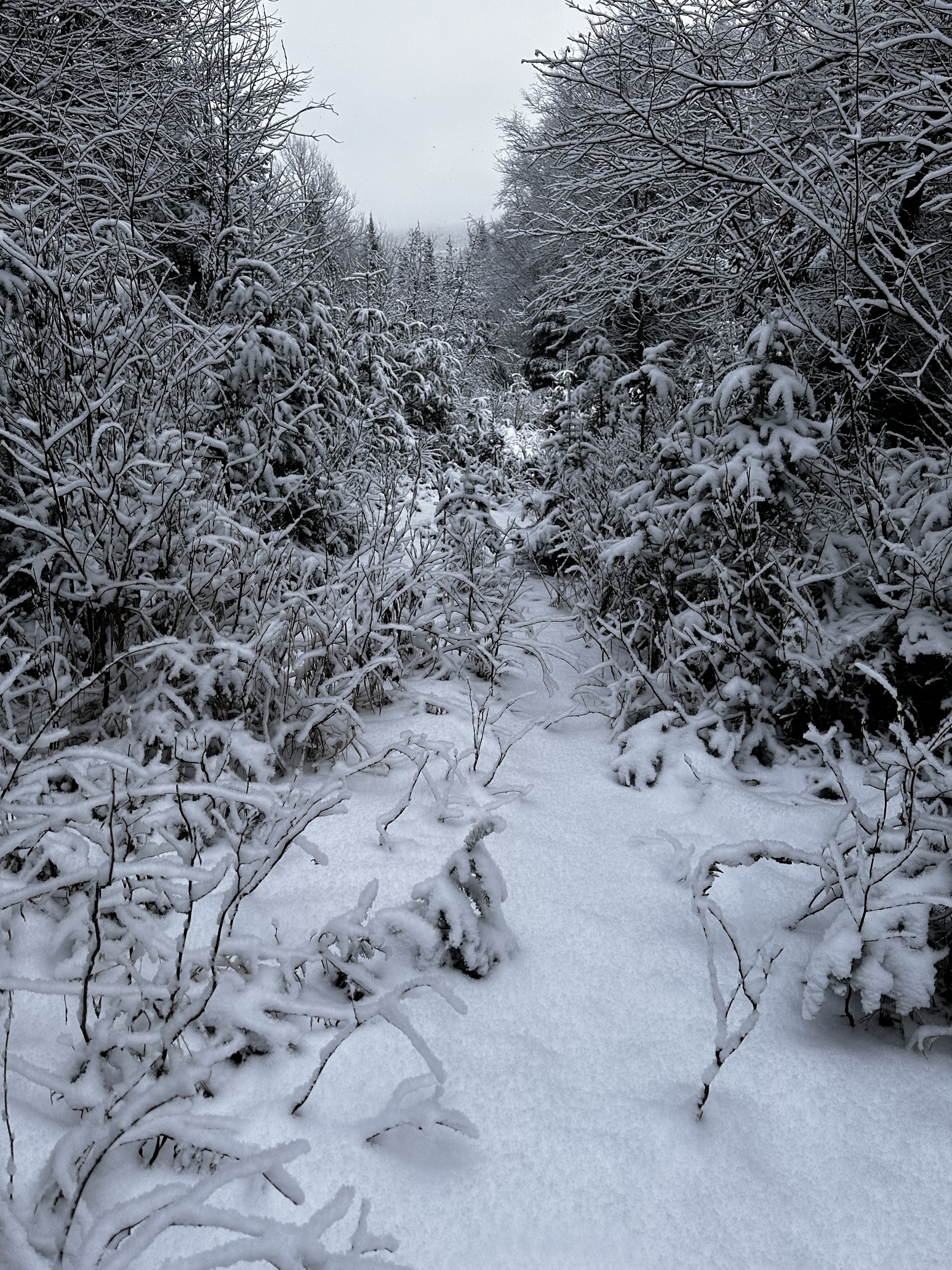
Trekking a snowy Brown Road
The plan was to trek the now familiar Brown Road through the Vickie Bunnell Preserve (signs for which I have yet to spot, rules and regulations for The Nature Conservancy welcome foot traffic into the network of old logging roads), ascend Gore Mountain by a network of old logging roads, before picking a narrow route across the ridgeway, finally dropping off West Castle, creating a lollipop-shaped loop with four named peaks along the way.
Beyond the last residential driveway, I followed fresh truck tires in the snowy roadway, as they veered off downhill at the split in the road - I had only traced this southern branch of Brown Road on satellite map - if all went according to plan I would be making my exit from the trailless wilderness via this road corridor, and was excited to see what could be found down the old path.

Old logging corridor reaching toward the mountains
Once away from the tire tracks, I made good time without snowshoes - they were strapped to my pack; unless the deep, crusty snowpack had been somehow decimated by heat or rain, I would certainly be better off wearing snowshoes for floatation once I hit the steep, wooded mountainside.
As the bear bell jingled on my pack, large flakes continued to fall, “so much for clear, sunny skies”, I remarked to myself as not a stitch of blue sky was visible from my vantage today. Escaping further into the backwoods, I studied and observed all around - during the brief walk into the woods, I contemplated reversing my route in case any moose found themselves at the coming beaver wetland area. To my surprise, given the high activity in this area last week, I did not find any new tracks since this newer blanket of snow had fallen.
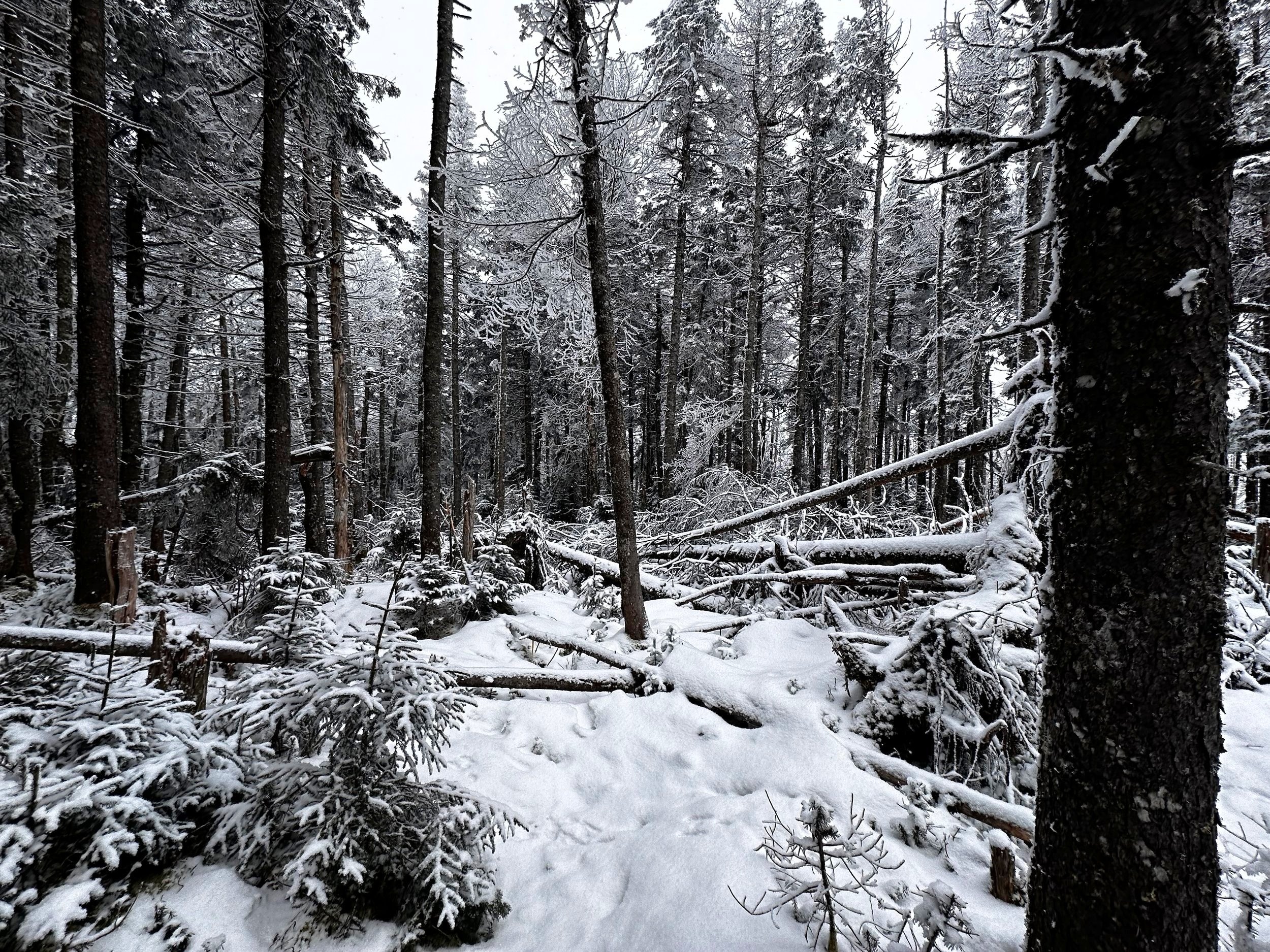
Becoming highly overgrown nearing Gore Notch
Reaching an area where an old, overgrown trail merges where I found myself, I entered the woods just north of the roadway, which was now a wide, grassy area with both solid ice flume and a deep sheet of liquid water flowing. I had been in these same woods, navigating around the wetland just last week, on the descent of Bunnell Mountain - thin, spindly spruce and fir comprise the surrounding dense forest.
After several rods of bushwhacking alongside the swampy pool, rejoined the old roadway as it began climbing toward Gore Notch. If one were to look at a satellite map of the area, they might see fine scars of old logging and forest roads streaking, and radiating into the hillside, several of which guide into the Notch itself, while others spiderweb through the cirque from which Gore Brook originates.

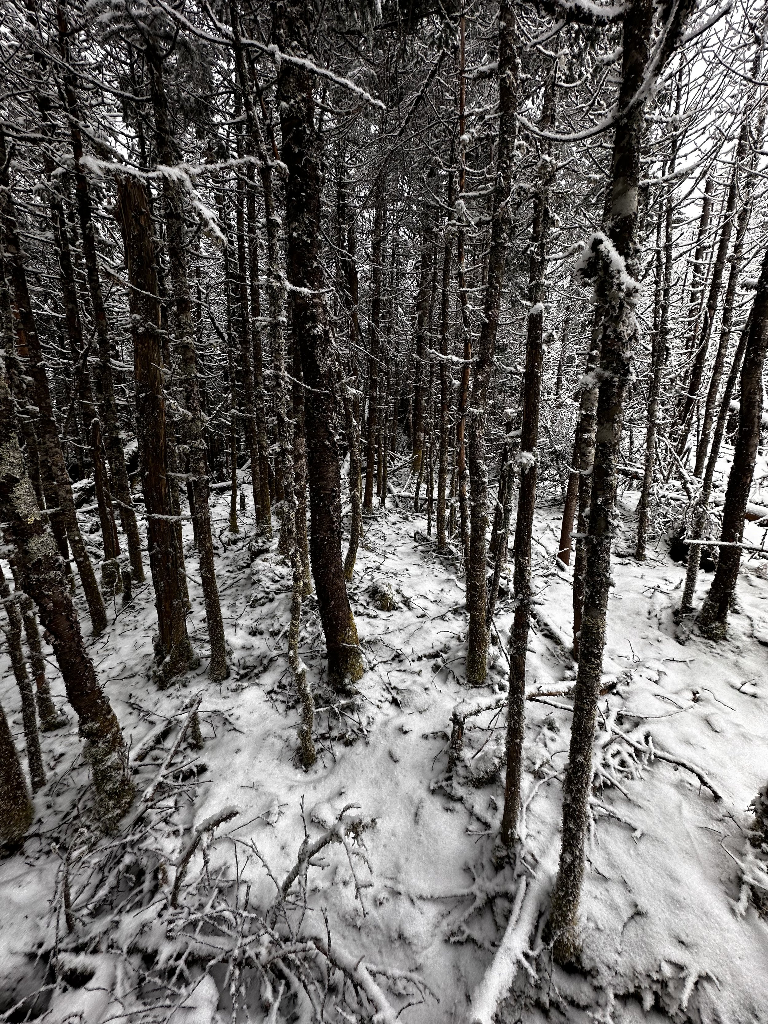
Decent woods, higher along Gore Mountain
Finding the forest so open and easy to navigate, I departed my trusty logging road as it began a series of long switchbacks as it snaked its course toward the summit of Gore Mountain. In a wide-open boreal setting, I passed back over the zig zagging logging road, still opting to trek straight upslope, without any semblance of trail.

Summit area of Gore Mountain
Popping out of an area of moderate denseness, I found myself struck momentarily, for, I found myself now above a delineation of young balsam, standing on a high cone of mature spruce and fir - what a glorious sight! Toward either side and stretching as far along the mountainside as the eye could see. Without trail, I began slowly picking my way between stately spruce trunks; atop a deep bed of Styrofoam-like snow, my crampon points barely broke the surface.
Time perhaps ceased to exist momentarily as I placed the final steps, the hillside tapered to near flat as I could see my treasure at the end of the long spruce corridor; mounted to the highest tree, and speckled with a fine layering of dirt and lichen, the summit canister welcomed me with an old moose shed and sign.

Gore Mountain summit canister
As I could see a thick layer of solid ice shrouding the base of the register, I did not even attempt to open or sign in, simply taking long enough for a sip of tea, re-check bearings and ponder my next direction. Descending the cone of Gore Mountain was just as pleasurable as the climb, except now I had gravity on my side to help quicken the pace somewhat.
An easy trek brought me into the col with Notch Mountain, figuring I would simply zoom up and over on my way toward Castle and its West Peak - oh boy, was I wrong about the “zooming”. Looking down from the shoulder of Gore Mountain, I could see already spot sea of low balsam forming, appearing to continue in the direction I was traveling.
A glimpse of the coming terrain
Pushing through scrappy fir, I kept finding narrow corridors of moose pathways, which I would follow as long as possible, zig zagging around massive, toppled balsam trunks, around which leagues of mountain fir sprouted up, all covered with fresh powder that it wanted to shed at the slightest jostle. Generally, later in the season, when I begin packing my ice axe for steeper ascents which may harbor ice flumes, I can double the purpose of the axe to knock down snow from any overhead boughs, before trudging through.

Exposed rock adorned all sides of Notch Mountain
While trekking from Gore Mountain to Notch Mountain, and onward to the Castles, it is not hard to note the tight col which separate the peaks; entering each proved rather disorienting as the mountainsides dropped away so suddenly, thick tangles of spruce branches kept me from moving too fast along the terrain, possibly causing any navigational errors.
Satisfied, and convinced that I had made a very tough ascent to the densely wooded summit of 3,402’ Notch Mountain, I continued on my southwesterly course. Having read brief warnings of what can be found atop Castle Mountain, I thought nothing of the prior reports and was apparently unwavering in my choice to summit 3,569’ Castle Mountain enroute to my final peak of the day.

Localized patches of blowdown continuously caused me to turn sharply, to navigate around (or through!) toppled timber, mostly following moose paths and old, crusty hoof prints. To my surprise, I never encountered a moose on my ramblings, although they were probably out here watching this brightly colored, frosty bearded tramper roaming their mountaintops.
Any hiking routes get recorded on my GPS watch, which I later like to review on the larger screen of my laptop; it is actually rather funny to see the line which represents my footsteps overlayed on a satellite map, from this outing: the track enters the massive blowdown patch which covers nearly the entire summit ridge of Castle Mountain, just to bounce back out of the devastation and trace alongside the observable patch on the map.
Efficient travel compared to other parts of the whack
Here, I followed more moose paths, but knowing I needed to descend southwest off the summit area, I had to pick a route eventually through the most unique forest I had ever observed. Standing at the edge of the old blowdown patch, all I could observe were old, weathered (but somehow still standing), bark-less stalks of balsam amidst an undulating sea of mountain fir - evergreen boughs of varying age and size stretched as far as the socked in summit would allow.

Slim view from the summit of West Castle
While (at the moment), I may not be in a rush to make a return trek to the summit of Castle Mountain anytime soon, it was beautiful to see what the destruction had grown into. Scampering atop toppled balsam trunks, I stood at one point, perhaps 10-feet above the domed mountaintop and cast my gaze out - all I saw disappeared into a wall of purple-grey cloud, snowflakes persisted as I pushed and scrambled my way along the ridge.

West Castle summit
As the true high point is rather difficult to discern from atop the low dome of Castle Mountain, I made my way over, under or around fallen debris to what I could confidently call the high point of the mountain, and continued a southwesterly course, toward West Castle.
To the north, and later in a more westerly trajectory around the massive blowdown patch, I caught myself nearly dropping southeast off the col, toward the East Branch Stratford Bog Brook. Recognizing my close error, I switched direction to approach West Castle more appropriately, by its connecting ridgeline. As I write this, I am unsure which is an easier task: following a trailless ridge into the narrow col, or navigate a path through, or around, acres of snow-covered, summit blowdown.

Departing the wooded summit of West Castle
A steep ascent through better woods brought me to the recognized high point of West Castle Mountain. From the mountaintop I found no views aside from a slim window of restricted view toward dozens of balsam trunks leaning haphazardly into the mountainside.
Once I had a nice stay atop West Castle Mountain, where I added handwarmers to negate any cold snow which had drifted into my mountaineering mittens, several swigs of warm tea melted my ice encrusted mustache. Turning away from the sight of toppled trees, I found pleasant woods to descend; from West Castle, I dropped quickly through mostly open woods. Here, the most treacherous aspect of the trek was the dwindling snowpack, which allowed sticks and thin understory vegetation to poke through and latch onto snowshoes. Thankfully, there were no faceplants while dropping off the mountain, only several quick windmills with the arms, and I would be back on my way.

Descending West Castle through decent woods
While planning out this route, I had scouted an old logging corridor (which was visible on satellite imagery) which terminated northwest of West Castle; my next objective was to descend to this old road, for a quick and easy trek out to my awaiting car. The descent was straightforward, zig zagging between regrowth, I entered a stand of relatively recent logging.
Paint blazes marked the remaining trees in the old lot; hordes of waist deep hobblebush covered the logged hillside - luckily, for this January ascent, the vegetation was not in bloom and was easy to follow moose paths through the entanglement. Underfoot, the low-angle mountainside collected water; searching for remaining patches of snow, I bounced from one island of dry footing to the next.
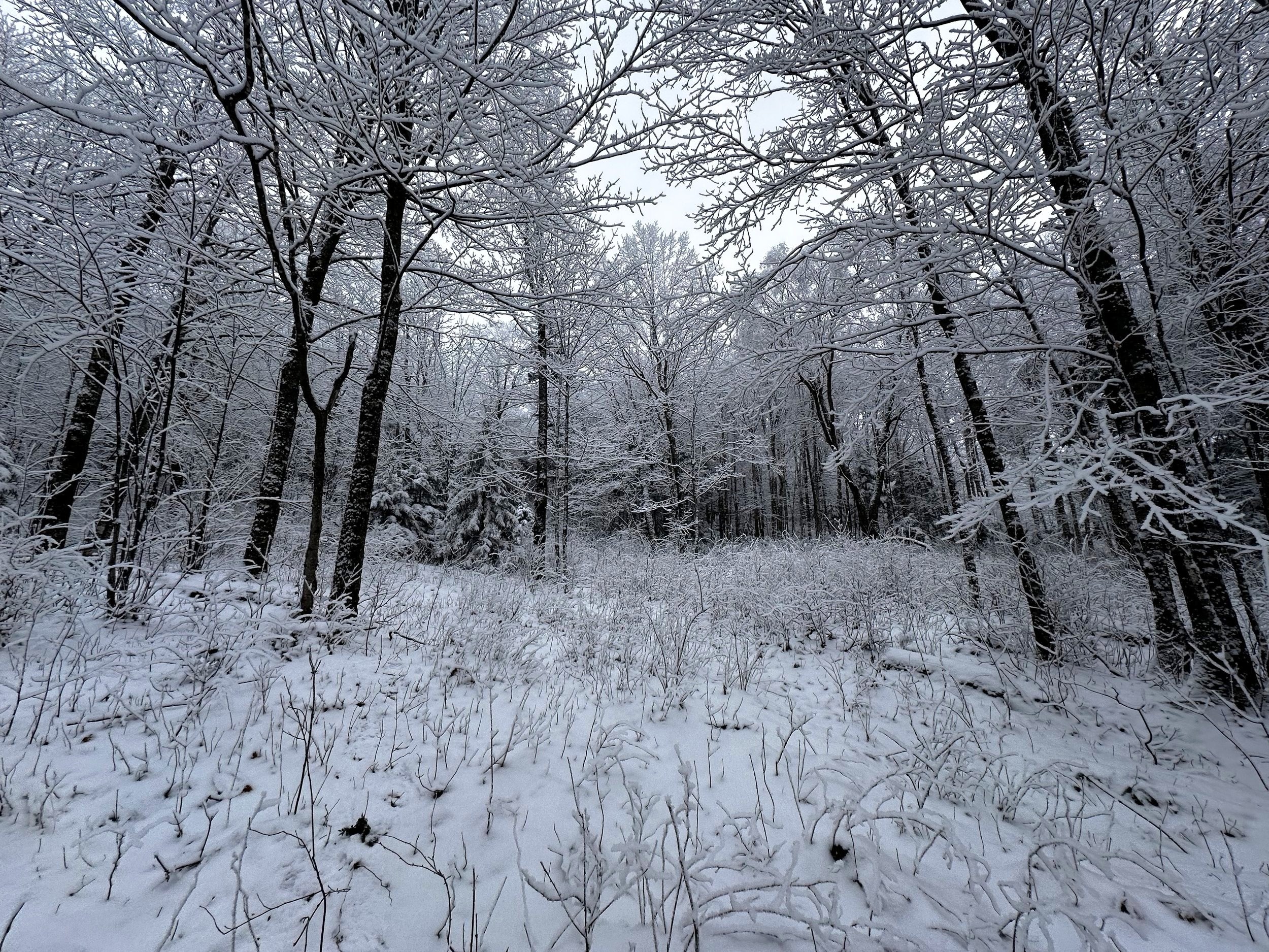
Entering a hobblebush-choked logged area
The old logging road showed up as a bright white streak on the otherwise dark green landscape, and to my surprise, fresh fat tire tracks had been laid in the fresh powder. Finding no sign of the old corridor which I planned to take back to Brown Road, I simply followed the fat tire tracks as they veered around fallen tree limbs - any which could be moved by hand were - hoping to make the downhill ride for the biker a bit smoother, without as many obstacles.
Passing a closed gate, I found the e-bikers truck and pressed on toward my own vehicle. Passing several run-down, seasonal cabins, soon I swung right, following signs for Brown Road, as well as snowmobile arrows past a large clearing with half a dozen cabins surrounding, with a fine view toward the snow dusted Stratford Notch Mountain, snowy Goback and Savage Mountains may have been visible just beyond.

Descending toward the Goback-Teapot ridge
With snowshoes in hand, I trekked the remaining road miles back to my Subaru, recalling all the while about the highs and lows of this adventure. Thankfully, I had safely ascended these peaks, explored a vast patch of blowdown - the largest of which I had ever witnessed. Each climb into the trailless backcountry, I am able to answer my never-ending question of, “just what is waiting up in those hills?”
Overall stats for the day:
12.76-miles
6hr 33 minutes
3,691’ elevation gain
Gore Mountain - 3,600’
(Gore) Notch Mountain - 3,402’
Castle Mountain - 3,569’
West Peak (Castle Mountain) - 3,580’
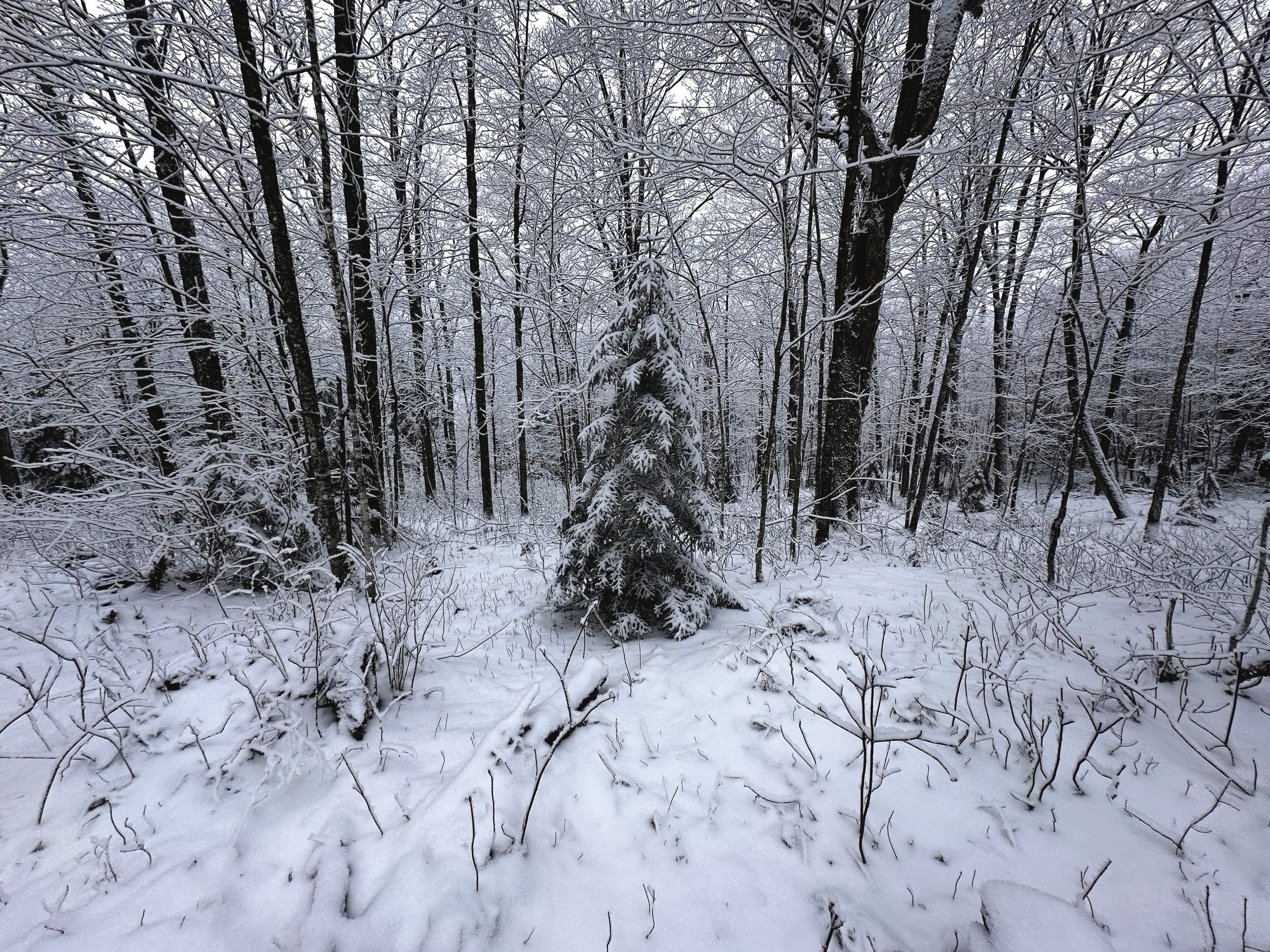
Proper Christmas Tree descending West Castle